Fellows is a census-designated place (CDP) in Kern County, California, United States. Fellows is located 5 miles (8 km) west-northwest of Taft, at an elevation of 1,316 feet (401 m). The population was 106 at the 2010 census, down from 153 at the 2000 census. Fellows is surrounded on all sides by the enormous Midway-Sunset Oil Field, the third-largest oil field in the United States, and the oil and gas industry accounts for much of the area’s economic activity.
| Name: | Fellows CDP |
|---|---|
| LSAD Code: | 57 |
| LSAD Description: | CDP (suffix) |
| State: | California |
| County: | Kern County |
| Elevation: | 1,316 ft (401 m) |
| Total Area: | 0.656 sq mi (1.700 km²) |
| Land Area: | 0.656 sq mi (1.700 km²) |
| Water Area: | 0 sq mi (0 km²) 0% |
| Total Population: | 106 |
| Population Density: | 160/sq mi (62/km²) |
| ZIP code: | 93224 |
| Area code: | 661 |
| FIPS code: | 0623812 |
| GNISfeature ID: | 1656513 |
Online Interactive Map
Click on ![]() to view map in "full screen" mode.
to view map in "full screen" mode.
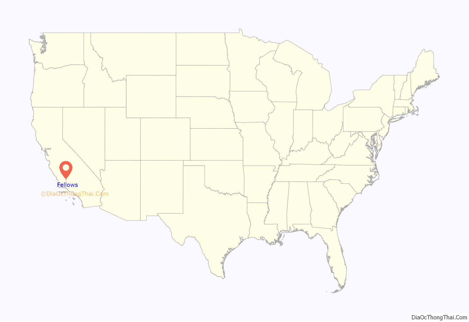
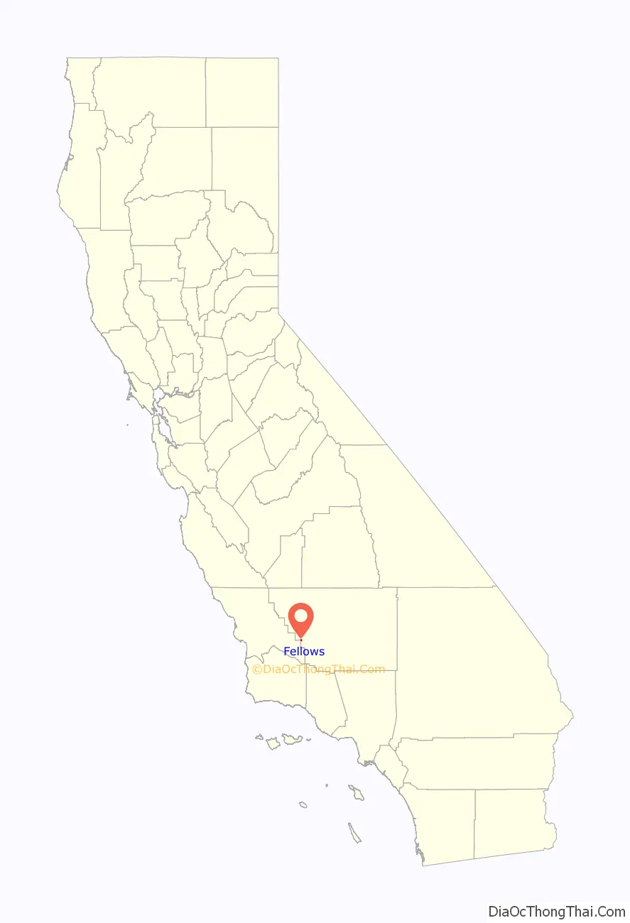
Fellows location map. Where is Fellows CDP?
History
Fellows developed as an oil boomtown after the 1909 discovery of the Midway Gusher. The first post office at Fellows opened in 1910. The name Fellows honors Charles A. Fellows, a Sunset Western Railroad contractor.
Perhaps Fellows’ greatest claim to fame was as the location of a fictional event. The 1969 educational film The Lottery, based on the famous short story by Shirley Jackson, was shot at Fellows. It featured a small town much like thousands of others across America holding an apparently ordinary, mundane civic event that had a cold-blooded, horrifying ending to an unfortunate victim come from out-of-nowhere. The film was ranked as one of the two bestselling educational films ever and has been widely shown in educational settings across America as an indictment against unthinking adherence to tradition and general inhumanity.
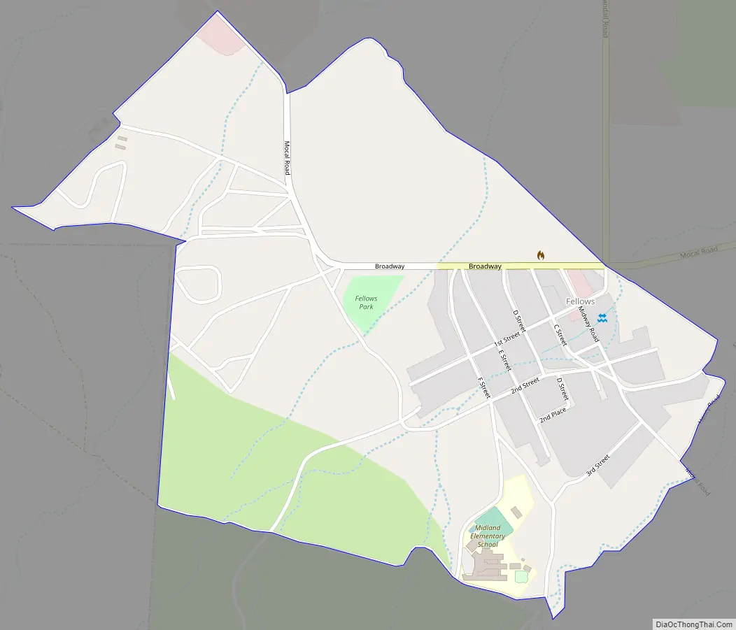
Fellows Road Map
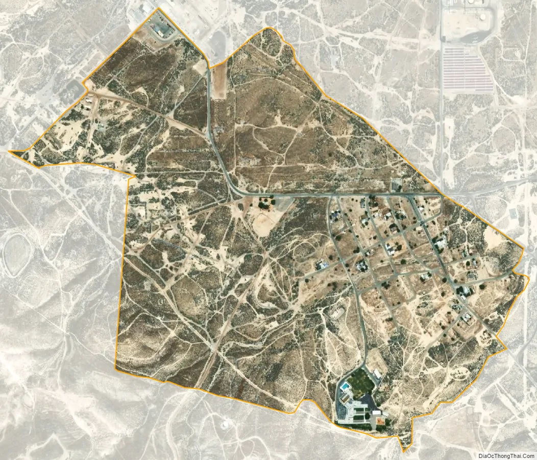
Fellows city Satellite Map
Geography
Fellows is located at 35°10′43″N 119°32′28″W / 35.17861°N 119.54111°W / 35.17861; -119.54111.
According to the United States Census Bureau, the CDP has a total area of 0.7 square miles (1.8 km), all of it land.
See also
Map of California State and its subdivision:- Alameda
- Alpine
- Amador
- Butte
- Calaveras
- Colusa
- Contra Costa
- Del Norte
- El Dorado
- Fresno
- Glenn
- Humboldt
- Imperial
- Inyo
- Kern
- Kings
- Lake
- Lassen
- Los Angeles
- Madera
- Marin
- Mariposa
- Mendocino
- Merced
- Modoc
- Mono
- Monterey
- Napa
- Nevada
- Orange
- Placer
- Plumas
- Riverside
- Sacramento
- San Benito
- San Bernardino
- San Diego
- San Francisco
- San Joaquin
- San Luis Obispo
- San Mateo
- Santa Barbara
- Santa Clara
- Santa Cruz
- Shasta
- Sierra
- Siskiyou
- Solano
- Sonoma
- Stanislaus
- Sutter
- Tehama
- Trinity
- Tulare
- Tuolumne
- Ventura
- Yolo
- Yuba
- Alabama
- Alaska
- Arizona
- Arkansas
- California
- Colorado
- Connecticut
- Delaware
- District of Columbia
- Florida
- Georgia
- Hawaii
- Idaho
- Illinois
- Indiana
- Iowa
- Kansas
- Kentucky
- Louisiana
- Maine
- Maryland
- Massachusetts
- Michigan
- Minnesota
- Mississippi
- Missouri
- Montana
- Nebraska
- Nevada
- New Hampshire
- New Jersey
- New Mexico
- New York
- North Carolina
- North Dakota
- Ohio
- Oklahoma
- Oregon
- Pennsylvania
- Rhode Island
- South Carolina
- South Dakota
- Tennessee
- Texas
- Utah
- Vermont
- Virginia
- Washington
- West Virginia
- Wisconsin
- Wyoming


