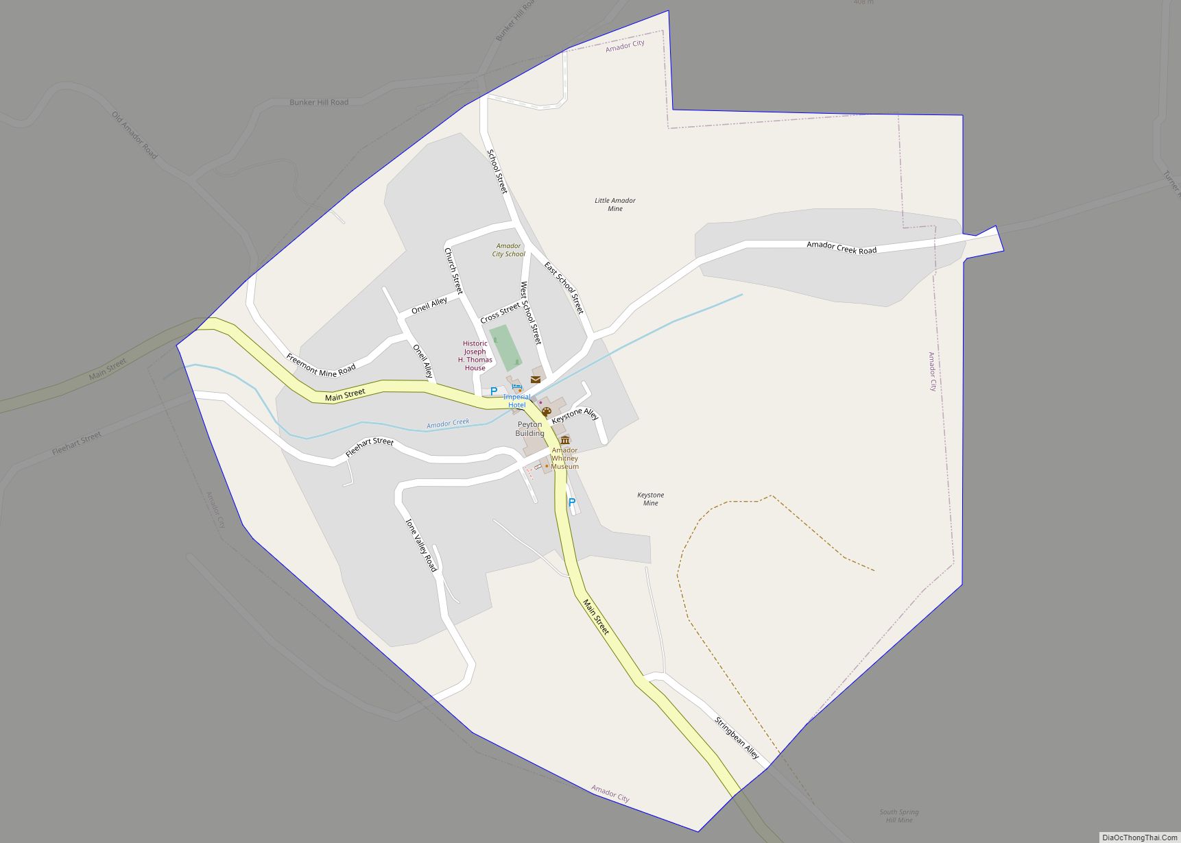
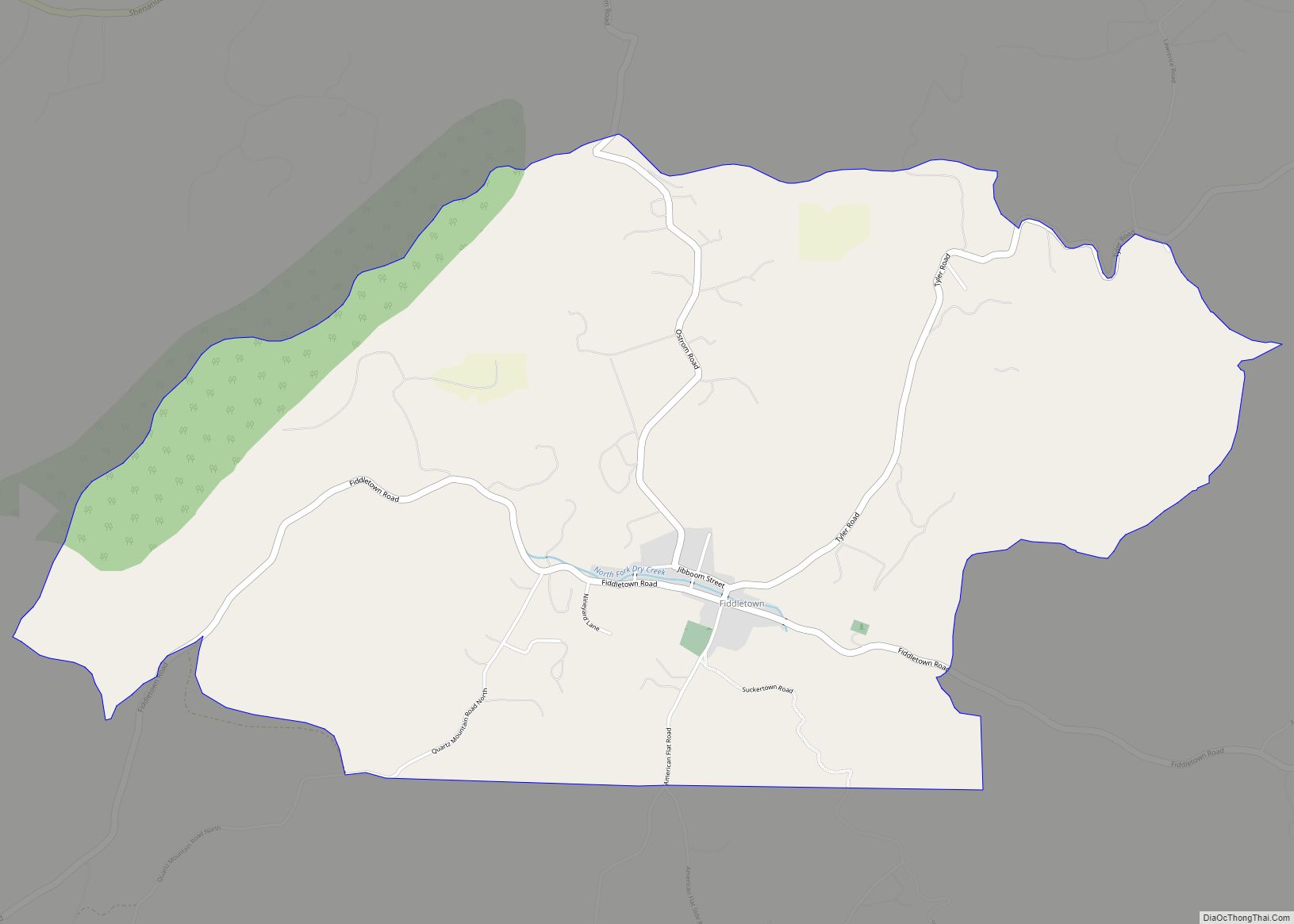
Fiddletown (from 1878 to 1932, Oleta) is a census-designated place in Amador County, California. It lies at an elevation of 1683 feet (513 m). It is located at 38°30′14″N 120°45′20″W / 38.50389°N 120.75556°W / 38.50389; -120.75556. The town is registered as a California Historical Landmark and is listed in the National Register of Historic Places (NPS-78000655). The community is in ZIP code 95629 and area code 209. Fiddletown’s population was 235 at the 2010 census.
| Name: | Fiddletown CDP |
|---|---|
| LSAD Code: | 57 |
| LSAD Description: | CDP (suffix) |
| State: | California |
| County: | Amador County |
| Elevation: | 1,683 ft (513 m) |
| Total Area: | 4.636 sq mi (12.007 km²) |
| Land Area: | 4.636 sq mi (12.007 km²) |
| Water Area: | 0 sq mi (0 km²) 0% |
| Total Population: | 235 |
| Population Density: | 51/sq mi (20/km²) |
| ZIP code: | 95629 |
| Area code: | 209 |
| FIPS code: | 0623980 |
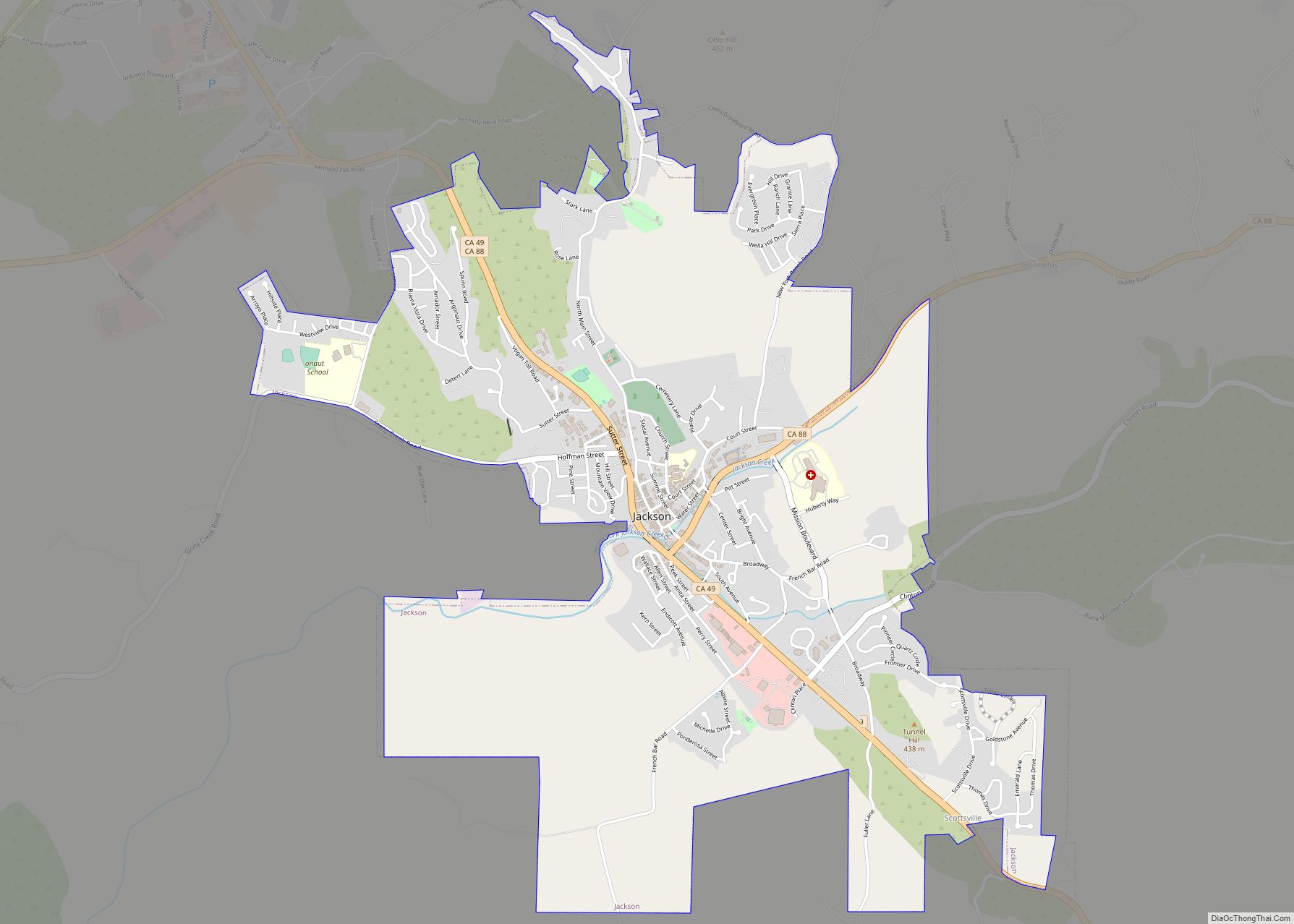
Online Interactive Map
Click on ![]() to view map in "full screen" mode.
to view map in "full screen" mode.
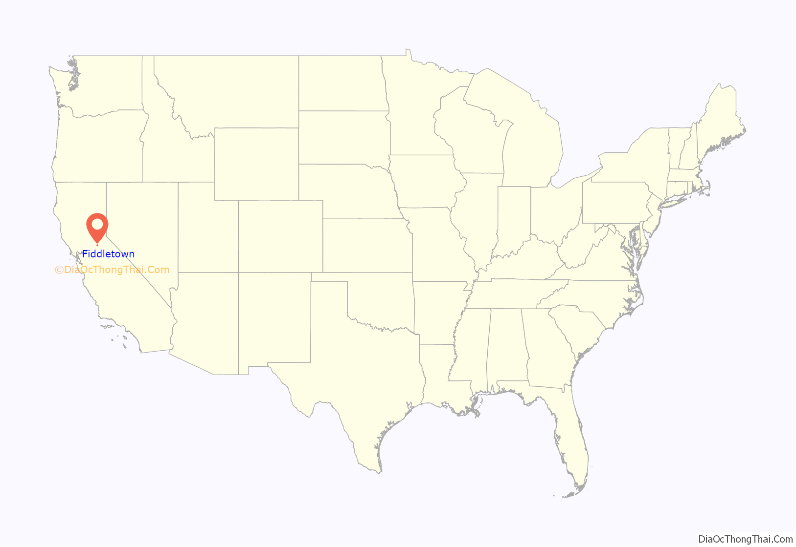
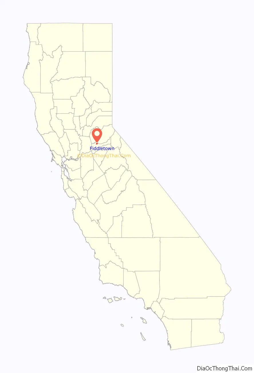
Fiddletown location map. Where is Fiddletown CDP?
History
The town was first settled in 1849 reportedly by settlers from Missouri though no historical records have survived which confirm this. The earliest settlement was largely populated by transient miners living in tents or wooden sheds, though Fiddletown grew rapidly in 1852 when gold was discovered in the dry riverbeds of the surrounding area. A 22 mile canal was completed in 1853 which diverted the Cosumnes River and brought water to these riverbeds so that miners could pan for gold. This water source also supplied irrigation for local agriculture which further spurred the establishment of a permanent town. By 1854 the town reportedly had over 2000 residents.
During the 1850s the town began to develop a cohesive community with a number of community buildings and fraternal orders being founded. The first church was completed in 1853, and that same year the United States Postal Service opened a Fiddletown post office. As more families began to populate the town, the first school began accepting students around 1855. These community buildings were matched by community organizing with a number of fraternal organizations being established. One of the earliest was a division of the Sons of Temperance, founded to combat alcoholism and what one then-resident referred to as the “desecrating hand of vice [which] steals upon our citizens in the shape of Chinese and other prostitutes who have been driven from the cities”. A Jewish Society was formed in 1857 around the same time that a synagogue was established in the now county seat of Jackson, California. The Free Masons formed a lodge that same year, and in 1959 a lodge of Odd Fellows was established.
At the time of its founding, placer mining was the most popular mining technique, which is heavily dependent on water. The local water source, Dry Creek, ran dry during the summer months, during which time the miners were said to be “fiddling around,” thus the name. Alternatively, the name was given because many of the early settlers from Missouri played fiddles for entertainment. However, one local citizen was embarrassed to be known as the “Man from Fiddletown” and successfully lobbied to have the name changed to Oleta (after his daughter) in 1878. The old name was restored in 1932.
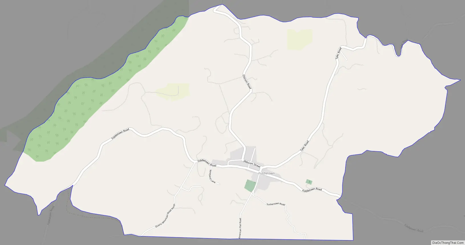
Fiddletown Road Map
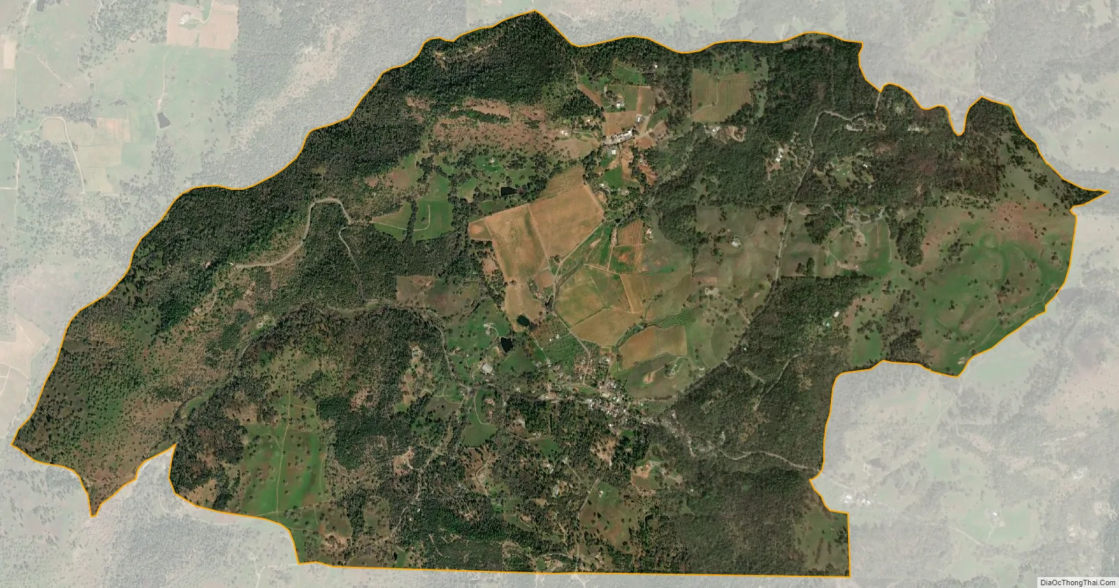
Fiddletown city Satellite Map
See also
Map of California State and its subdivision:- Alameda
- Alpine
- Amador
- Butte
- Calaveras
- Colusa
- Contra Costa
- Del Norte
- El Dorado
- Fresno
- Glenn
- Humboldt
- Imperial
- Inyo
- Kern
- Kings
- Lake
- Lassen
- Los Angeles
- Madera
- Marin
- Mariposa
- Mendocino
- Merced
- Modoc
- Mono
- Monterey
- Napa
- Nevada
- Orange
- Placer
- Plumas
- Riverside
- Sacramento
- San Benito
- San Bernardino
- San Diego
- San Francisco
- San Joaquin
- San Luis Obispo
- San Mateo
- Santa Barbara
- Santa Clara
- Santa Cruz
- Shasta
- Sierra
- Siskiyou
- Solano
- Sonoma
- Stanislaus
- Sutter
- Tehama
- Trinity
- Tulare
- Tuolumne
- Ventura
- Yolo
- Yuba
- Alabama
- Alaska
- Arizona
- Arkansas
- California
- Colorado
- Connecticut
- Delaware
- District of Columbia
- Florida
- Georgia
- Hawaii
- Idaho
- Illinois
- Indiana
- Iowa
- Kansas
- Kentucky
- Louisiana
- Maine
- Maryland
- Massachusetts
- Michigan
- Minnesota
- Mississippi
- Missouri
- Montana
- Nebraska
- Nevada
- New Hampshire
- New Jersey
- New Mexico
- New York
- North Carolina
- North Dakota
- Ohio
- Oklahoma
- Oregon
- Pennsylvania
- Rhode Island
- South Carolina
- South Dakota
- Tennessee
- Texas
- Utah
- Vermont
- Virginia
- Washington
- West Virginia
- Wisconsin
- Wyoming