Ford City is a census-designated place (CDP) in Kern County, California, United States. Ford City is located 1 mile (1.61 km) north of Taft, at an elevation of 892 feet (272 m). The population was 4,348 at the 2020 census, up from 4,278 at the 2010 census. It is immediately north of Taft, between the huge Midway-Sunset Oil Field to the southwest, and the almost exhausted Buena Vista Oil Field to the northeast. State Route 119 passes east of town from its junction with SR 33 to the south.
| Name: | Ford City CDP |
|---|---|
| LSAD Code: | 57 |
| LSAD Description: | CDP (suffix) |
| State: | California |
| County: | Kern County |
| Elevation: | 892 ft (272 m) |
| Total Area: | 1.535 sq mi (3.975 km²) |
| Land Area: | 1.535 sq mi (3.975 km²) |
| Water Area: | 0 sq mi (0 km²) 0% |
| Total Population: | 4,348 |
| Population Density: | 2,800/sq mi (1,100/km²) |
| ZIP code: | 93268 |
| Area code: | 661 |
| FIPS code: | 0624764 |
| GNISfeature ID: | 1660645 |
Online Interactive Map
Click on ![]() to view map in "full screen" mode.
to view map in "full screen" mode.
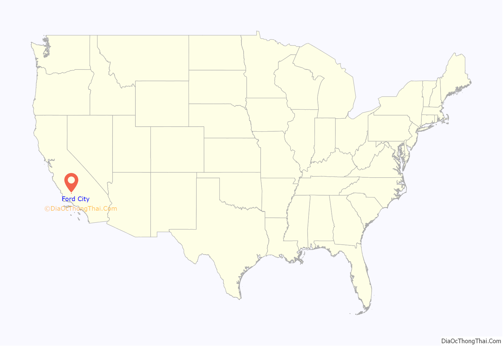
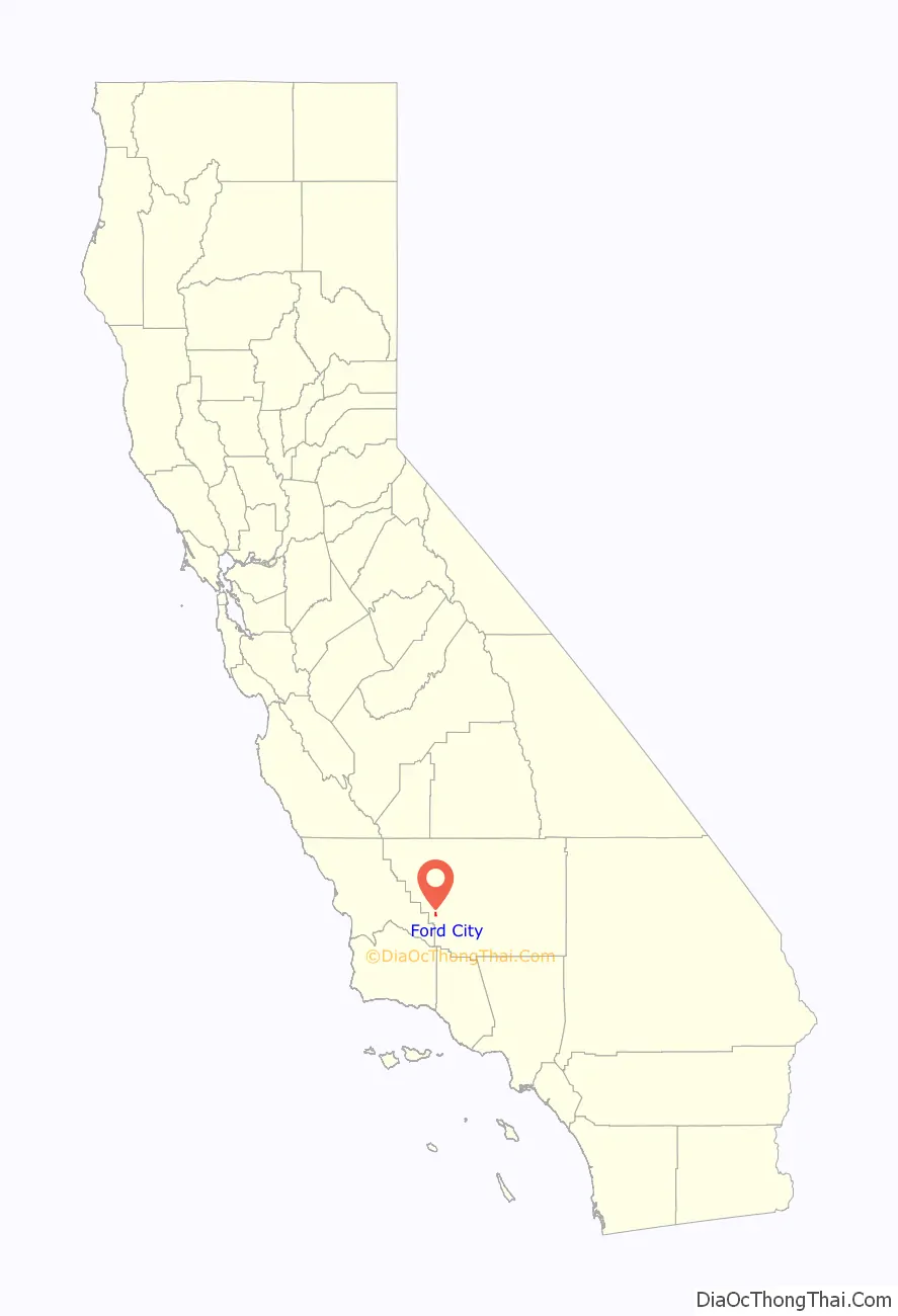
Ford City location map. Where is Ford City CDP?
History
Originally an oil boom town, the place was named after Ford Motor Company due to the abundance of Ford Model T cars there.
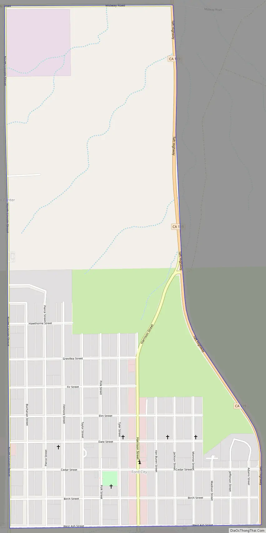
Ford City Road Map
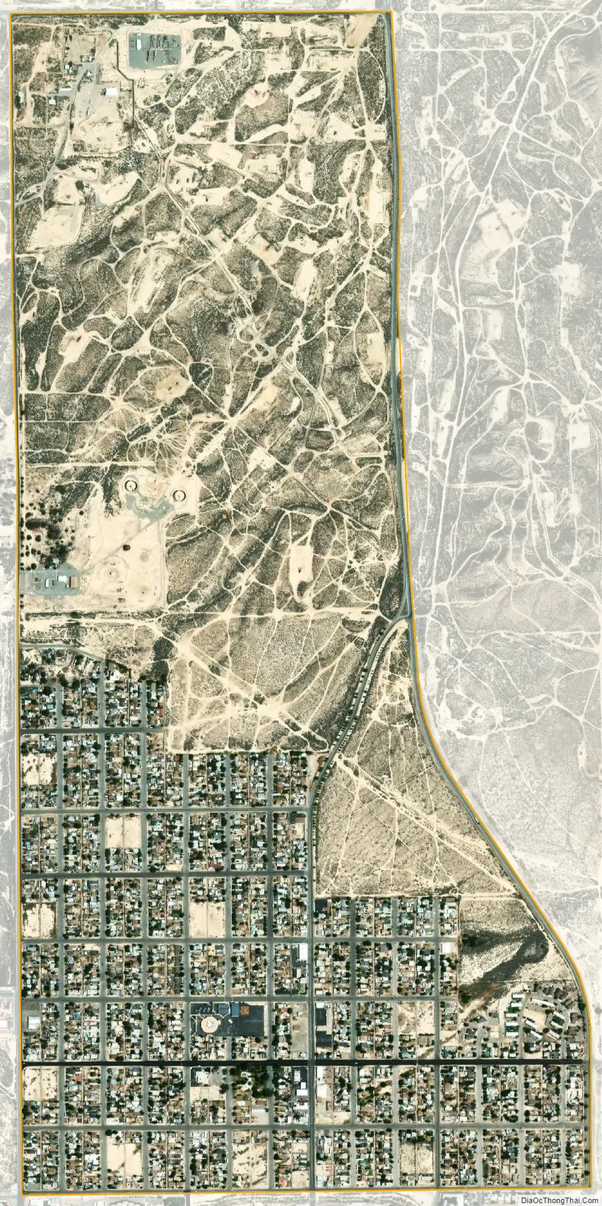
Ford City city Satellite Map
Geography
Ford City is located at 35°09′16″N 119°27′22″W / 35.15444°N 119.45611°W / 35.15444; -119.45611.
According to the United States Census Bureau, the CDP has a total area of 1.5 square miles (3.9 km), all of it land.
See also
Map of California State and its subdivision:- Alameda
- Alpine
- Amador
- Butte
- Calaveras
- Colusa
- Contra Costa
- Del Norte
- El Dorado
- Fresno
- Glenn
- Humboldt
- Imperial
- Inyo
- Kern
- Kings
- Lake
- Lassen
- Los Angeles
- Madera
- Marin
- Mariposa
- Mendocino
- Merced
- Modoc
- Mono
- Monterey
- Napa
- Nevada
- Orange
- Placer
- Plumas
- Riverside
- Sacramento
- San Benito
- San Bernardino
- San Diego
- San Francisco
- San Joaquin
- San Luis Obispo
- San Mateo
- Santa Barbara
- Santa Clara
- Santa Cruz
- Shasta
- Sierra
- Siskiyou
- Solano
- Sonoma
- Stanislaus
- Sutter
- Tehama
- Trinity
- Tulare
- Tuolumne
- Ventura
- Yolo
- Yuba
- Alabama
- Alaska
- Arizona
- Arkansas
- California
- Colorado
- Connecticut
- Delaware
- District of Columbia
- Florida
- Georgia
- Hawaii
- Idaho
- Illinois
- Indiana
- Iowa
- Kansas
- Kentucky
- Louisiana
- Maine
- Maryland
- Massachusetts
- Michigan
- Minnesota
- Mississippi
- Missouri
- Montana
- Nebraska
- Nevada
- New Hampshire
- New Jersey
- New Mexico
- New York
- North Carolina
- North Dakota
- Ohio
- Oklahoma
- Oregon
- Pennsylvania
- Rhode Island
- South Carolina
- South Dakota
- Tennessee
- Texas
- Utah
- Vermont
- Virginia
- Washington
- West Virginia
- Wisconsin
- Wyoming


