French Camp (from Campo de los Franceses, Spanish for “Field of the Frenchmen”) is an unincorporated community in San Joaquin County, California, United States. The population was 3,770 as of the 2020 census. Up from 3,376 at the 2010 census, and down from 4,109 at the 2000 census. For statistical purposes, the United States Census Bureau has defined French Camp as a census-designated place (CDP). The census definition of the area may not precisely correspond to local understanding of the area with the same name.
French Camp is the location of the U.S. Army Sharpe Depot and the GSA Western Distribution Center, and is the oldest settlement in San Joaquin County. San Joaquin General Hospital is located in French Camp. It is also the location of the county jail, the county juvenile hall and the county children’s shelter, which combine to form a sizable percentage of the place’s population.
| Name: | French Camp CDP |
|---|---|
| LSAD Code: | 57 |
| LSAD Description: | CDP (suffix) |
| State: | California |
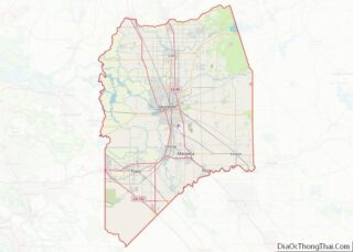
| County: | San Joaquin County |
| Elevation: | 20 ft (6 m) |
| Total Area: | 3.143 sq mi (8.140 km²) |
| Land Area: | 3.142 sq mi (8.138 km²) |
| Water Area: | 0.001 sq mi (0.002 km²) 0.03% |
| Total Population: | 3,770 |
| Population Density: | 1,200/sq mi (460/km²) |
| ZIP code: | 95231 |
| Area code: | 209 |
| FIPS code: | 0626028 |
| GNISfeature ID: | 1658581 |
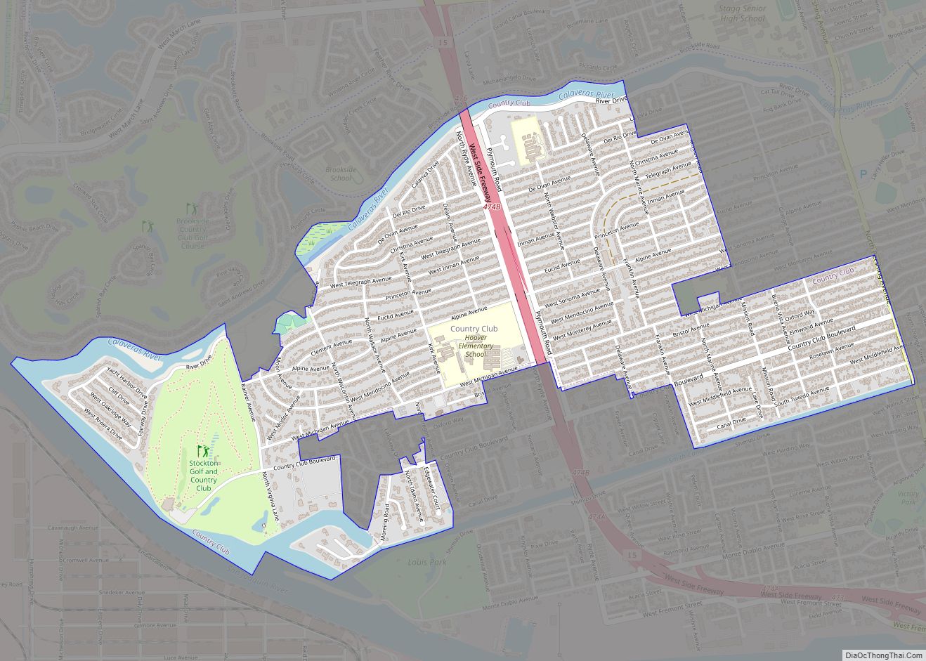
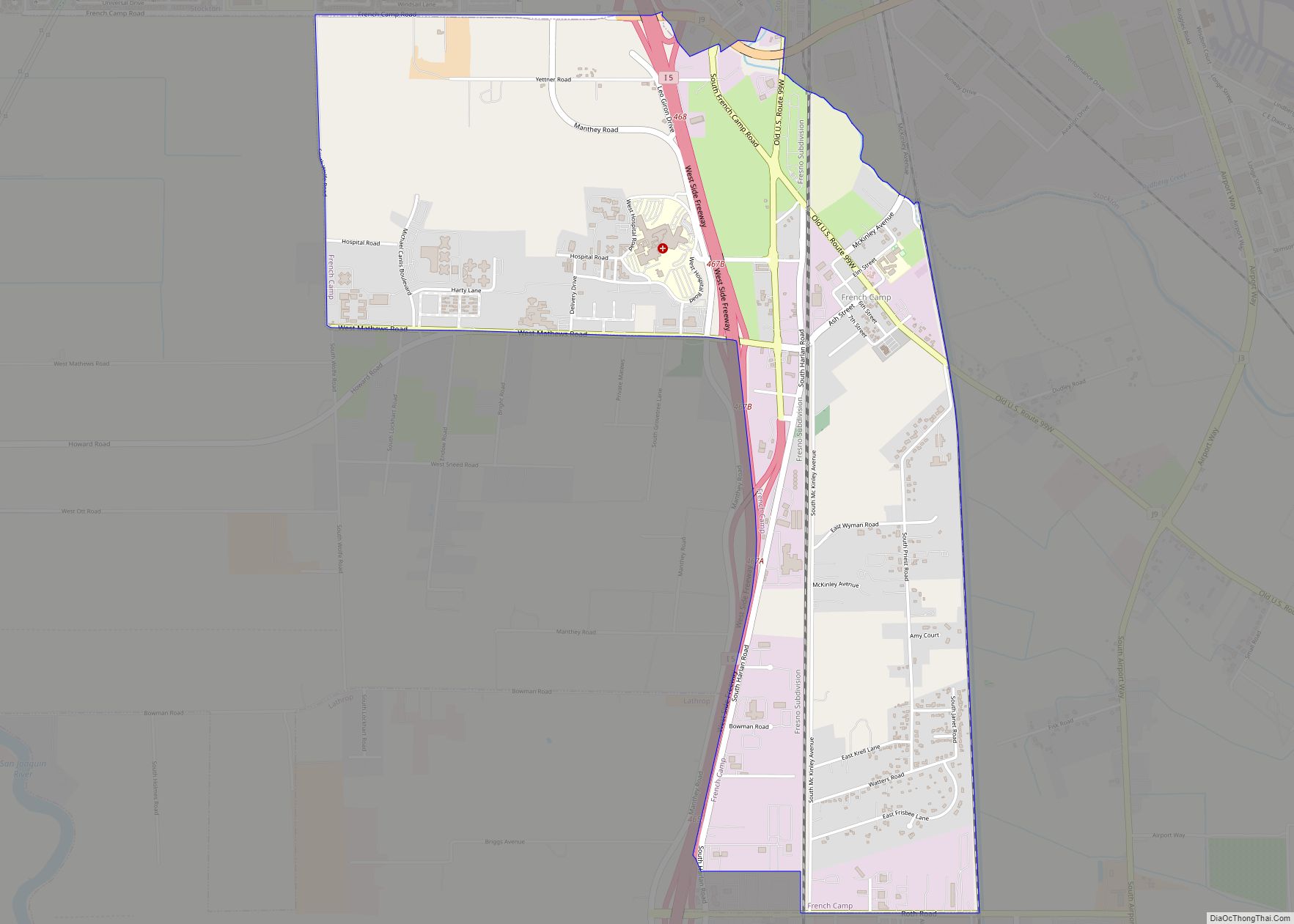
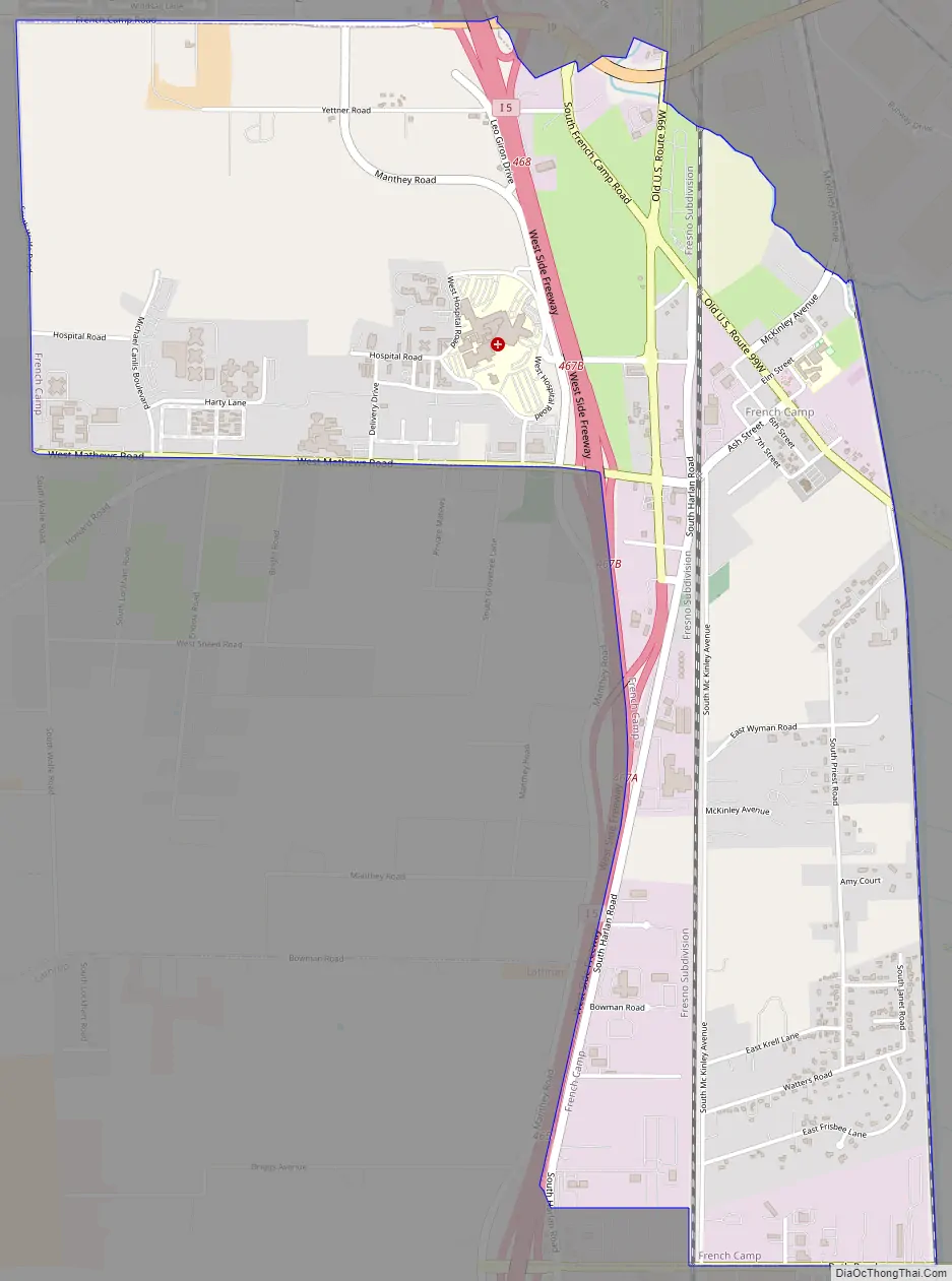
Online Interactive Map
Click on ![]() to view map in "full screen" mode.
to view map in "full screen" mode.
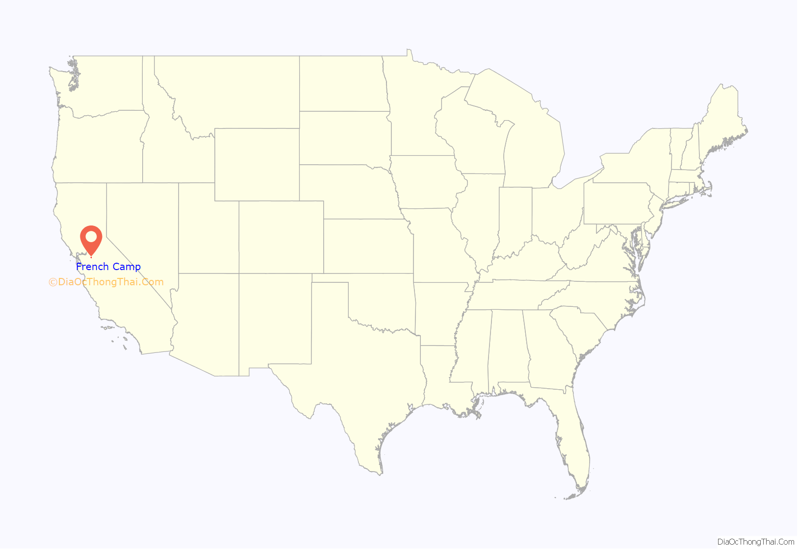
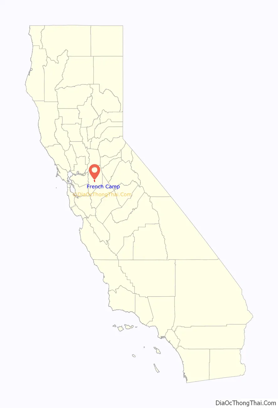
French Camp location map. Where is French Camp CDP?
History
French Camp was the southernmost regular camp site of the Hudson’s Bay Company southern fur brigades sent from Fort Vancouver (now Vancouver, Washington), established by Michel Laframboise in 1832. Its Spanish name was preserved in a land grant dated January 13, 1844 as Rancho Campo de los Franceses. It is commemorated as California State Historic Landmark 668:
French Camp was also known as Castoria, the Latin word for “beaver” being “castor”, reflecting its central role in the California Fur Rush.
French Camp was strategically sited at the southern end of the southernmost slough (which became known as French Camp Slough) of the Sacramento-San Joaquin Delta, maximizing the use of the waterway for ease of transportation. A trail led off from the site to the southeast into the foothills of the Sierra Nevada Mountains. It was subsequently used as an alternate route for the Mariposa Road, part of the Stockton-Los Angeles Road, especially favored during the rainy season because of its exceptional drainage. The route was eventually paved and exists to this day as “French Camp Road”.
During WWII, Japanese Americans that lived in French Camp were relocated to civilian assembly centers and relocation centers overseen by the War Relocation Authority (WRA) in accordance with Executive Order 9066. Japanese Americans from French Camp were sent to the Turlock Assembly Center at the Stanislaus County Fair, Manzanar War Relocation Center, and the Gila River War Relocation Center. Accounts of the relocation and life in the camps are detailed through letters from former students of the French Camp Grammar School.
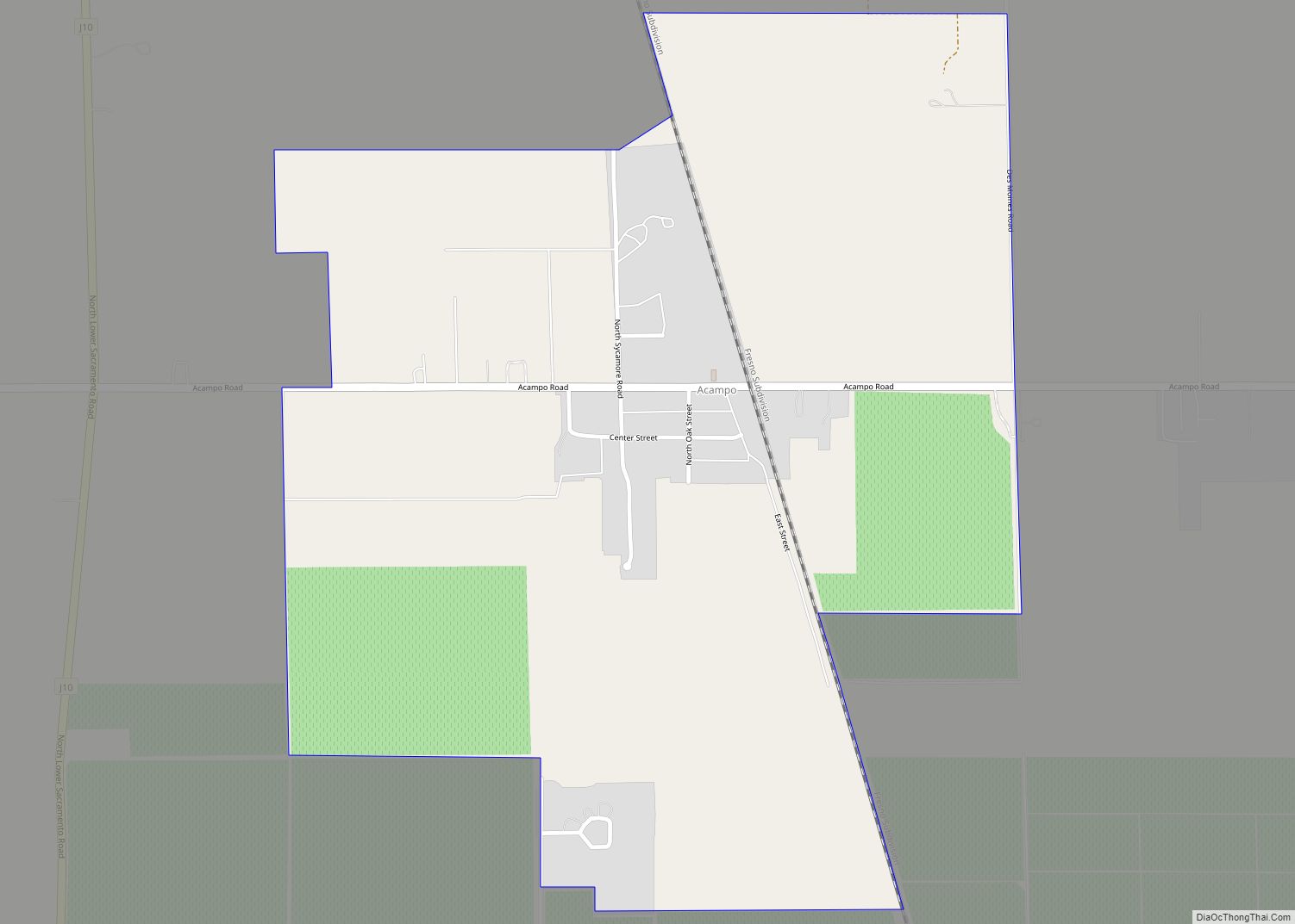
French Camp Road Map
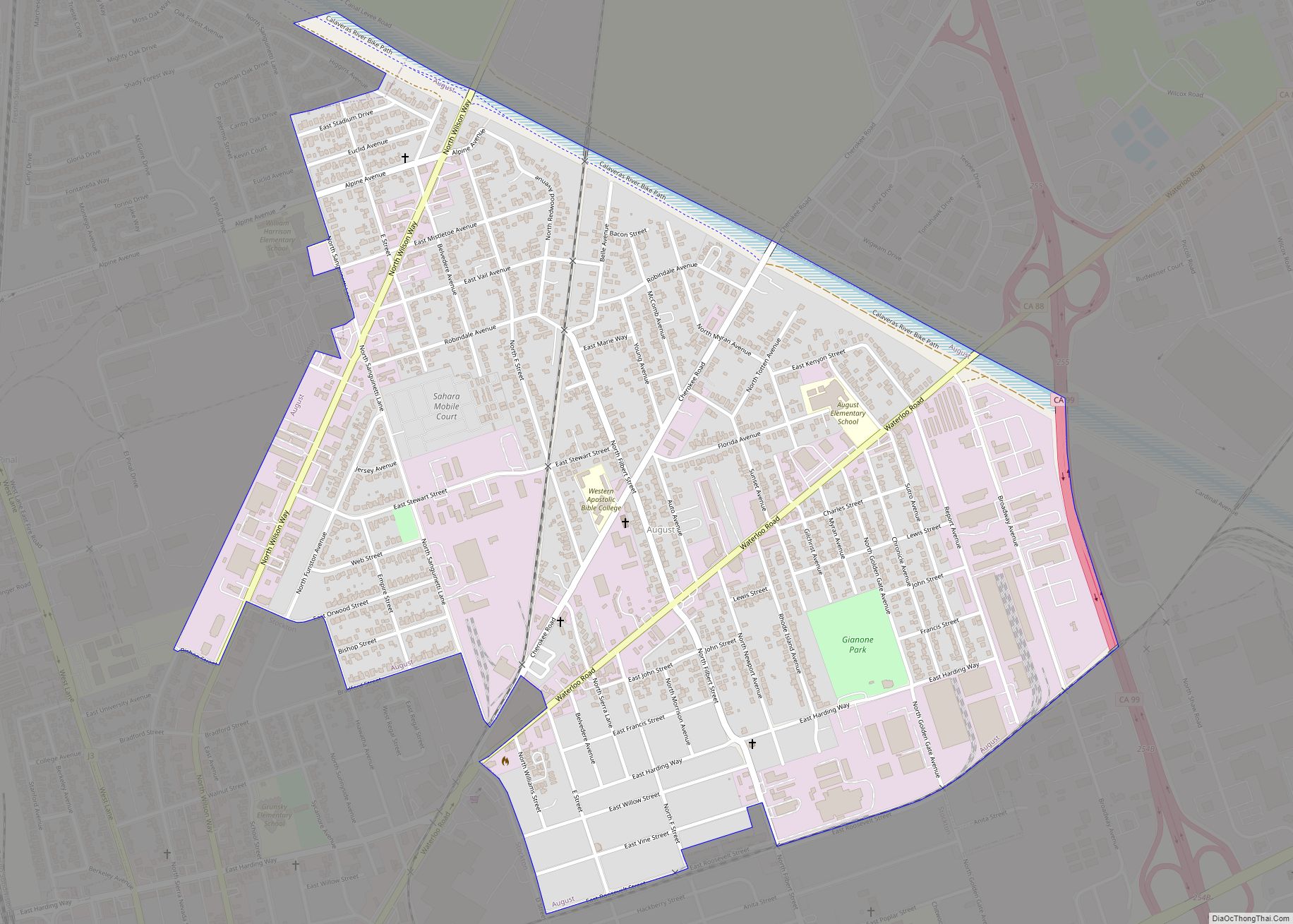
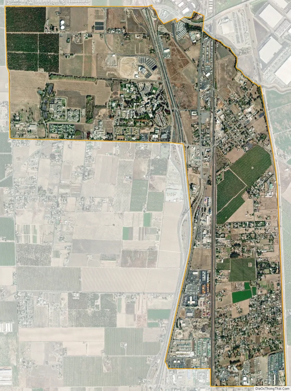
French Camp city Satellite Map
Geography
French Camp is located at 37°52′58″N 121°16′47″W / 37.88278°N 121.27972°W / 37.88278; -121.27972 (37.882742, -121.279788).
According to the United States Census Bureau, the CDP has a total area of 3.1 square miles (8.0 square kilometers), 99.97 percent of it land and 0.03 percent of it water.
Climate
According to the Köppen Climate Classification system, French Camp has a warm-summer Mediterranean climate, abbreviated “Csa” on climate maps.
See also
Map of California State and its subdivision:- Alameda
- Alpine
- Amador
- Butte
- Calaveras
- Colusa
- Contra Costa
- Del Norte
- El Dorado
- Fresno
- Glenn
- Humboldt
- Imperial
- Inyo
- Kern
- Kings
- Lake
- Lassen
- Los Angeles
- Madera
- Marin
- Mariposa
- Mendocino
- Merced
- Modoc
- Mono
- Monterey
- Napa
- Nevada
- Orange
- Placer
- Plumas
- Riverside
- Sacramento
- San Benito
- San Bernardino
- San Diego
- San Francisco
- San Joaquin
- San Luis Obispo
- San Mateo
- Santa Barbara
- Santa Clara
- Santa Cruz
- Shasta
- Sierra
- Siskiyou
- Solano
- Sonoma
- Stanislaus
- Sutter
- Tehama
- Trinity
- Tulare
- Tuolumne
- Ventura
- Yolo
- Yuba
- Alabama
- Alaska
- Arizona
- Arkansas
- California
- Colorado
- Connecticut
- Delaware
- District of Columbia
- Florida
- Georgia
- Hawaii
- Idaho
- Illinois
- Indiana
- Iowa
- Kansas
- Kentucky
- Louisiana
- Maine
- Maryland
- Massachusetts
- Michigan
- Minnesota
- Mississippi
- Missouri
- Montana
- Nebraska
- Nevada
- New Hampshire
- New Jersey
- New Mexico
- New York
- North Carolina
- North Dakota
- Ohio
- Oklahoma
- Oregon
- Pennsylvania
- Rhode Island
- South Carolina
- South Dakota
- Tennessee
- Texas
- Utah
- Vermont
- Virginia
- Washington
- West Virginia
- Wisconsin
- Wyoming