Friant (formerly, Converse Ferry, Jones Ferry, Hamptonville, and Pollasky) is a census-designated place (CDP) in Fresno County, California, United States. The population was 549 at the 2010 census, down from 778 at the 2000 census. Friant is located 11.5 miles (19 km) north of Clovis, at an elevation of 344 feet (105 m).
| Name: | Friant CDP |
|---|---|
| LSAD Code: | 57 |
| LSAD Description: | CDP (suffix) |
| State: | California |
| County: | Fresno County |
| Elevation: | 344 ft (105 m) |
| Total Area: | 1.325 sq mi (3.434 km²) |
| Land Area: | 1.275 sq mi (3.303 km²) |
| Water Area: | 0.050 sq mi (0.131 km²) 3.8% |
| Total Population: | 509 |
| Population Density: | 380/sq mi (150/km²) |
| ZIP code: | 93626 |
| Area code: | 559 |
| FIPS code: | 0627014 |
Online Interactive Map
Click on ![]() to view map in "full screen" mode.
to view map in "full screen" mode.
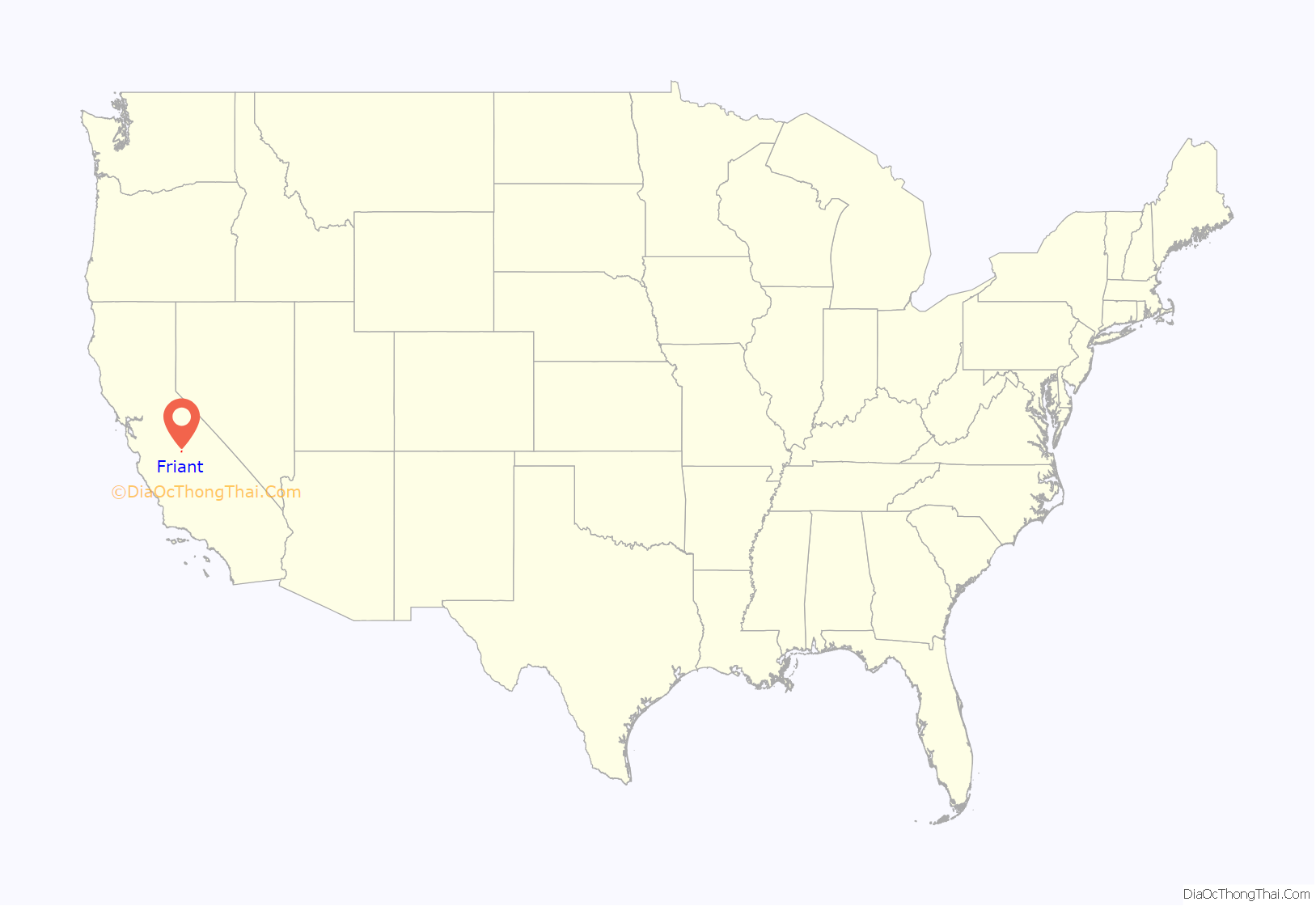
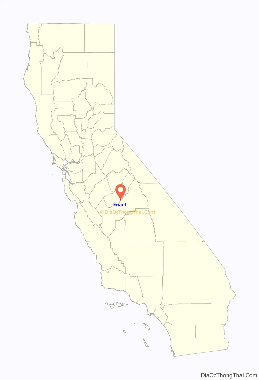
Friant location map. Where is Friant CDP?
History
The place was first called Converse Ferry for Charles Converse, who established a ferry across the San Joaquin River in 1852. It was renamed Jones Ferry for J.R. Jones, a local merchant. The post office came in 1881 and named the place Hamptonville, after William R. Hampton, its first postmaster. The Southern Pacific Railroad arrived in 1891 and named the place Pollasky for Marcus Pollasky, a railroad official. In the 1920s the place was renamed for Thomas Friant, a lumber company executive.
- Unknown Date: Mugginsville
- 1852-≤1863: Converse Ferry or Converse
- ≤1863-1881: Jones Ferry or Jonesville
- 1881-1891: Hamptonville
- 1891-1907: Pollasky
- 1907-present: Friant
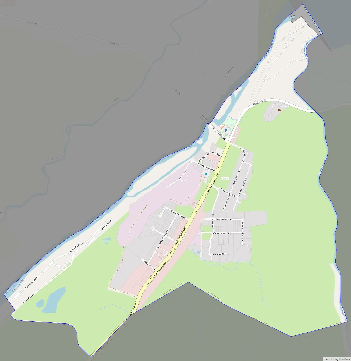
Friant Road Map
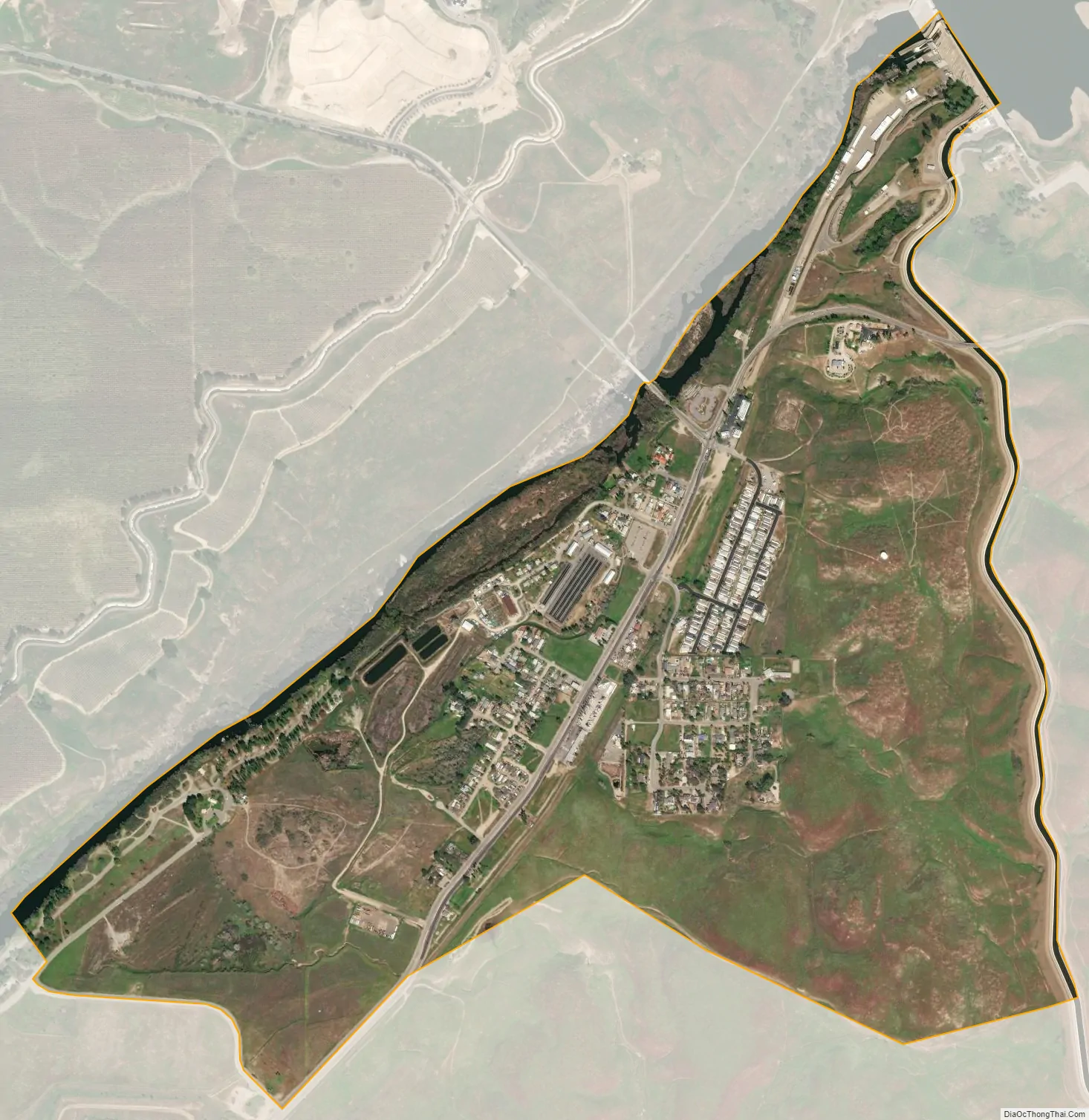
Friant city Satellite Map
Geography
The CDP is located along the banks of the San Joaquin River and at the base of Friant Dam and Millerton Lake.
According to the United States Census Bureau, the CDP has a total area of 1.3 square miles (3.4 km), of which 96.2% is land and 3.8% is water.
See also
Map of California State and its subdivision:- Alameda
- Alpine
- Amador
- Butte
- Calaveras
- Colusa
- Contra Costa
- Del Norte
- El Dorado
- Fresno
- Glenn
- Humboldt
- Imperial
- Inyo
- Kern
- Kings
- Lake
- Lassen
- Los Angeles
- Madera
- Marin
- Mariposa
- Mendocino
- Merced
- Modoc
- Mono
- Monterey
- Napa
- Nevada
- Orange
- Placer
- Plumas
- Riverside
- Sacramento
- San Benito
- San Bernardino
- San Diego
- San Francisco
- San Joaquin
- San Luis Obispo
- San Mateo
- Santa Barbara
- Santa Clara
- Santa Cruz
- Shasta
- Sierra
- Siskiyou
- Solano
- Sonoma
- Stanislaus
- Sutter
- Tehama
- Trinity
- Tulare
- Tuolumne
- Ventura
- Yolo
- Yuba
- Alabama
- Alaska
- Arizona
- Arkansas
- California
- Colorado
- Connecticut
- Delaware
- District of Columbia
- Florida
- Georgia
- Hawaii
- Idaho
- Illinois
- Indiana
- Iowa
- Kansas
- Kentucky
- Louisiana
- Maine
- Maryland
- Massachusetts
- Michigan
- Minnesota
- Mississippi
- Missouri
- Montana
- Nebraska
- Nevada
- New Hampshire
- New Jersey
- New Mexico
- New York
- North Carolina
- North Dakota
- Ohio
- Oklahoma
- Oregon
- Pennsylvania
- Rhode Island
- South Carolina
- South Dakota
- Tennessee
- Texas
- Utah
- Vermont
- Virginia
- Washington
- West Virginia
- Wisconsin
- Wyoming


