Galt is a city in Sacramento County, California. It is part of the Sacramento metropolitan area. The population was 23,647 at the 2010 census, up from 19,472 at the 2000 census.
| Name: | Galt city |
|---|---|
| LSAD Code: | 25 |
| LSAD Description: | city (suffix) |
| State: | California |
| County: | Sacramento County |
| Incorporated: | August 16, 1946 |
| Elevation: | 47 ft (16 m) |
| Total Area: | 6.78 sq mi (17.57 km²) |
| Land Area: | 6.77 sq mi (17.54 km²) |
| Water Area: | 0.01 sq mi (0.03 km²) 0.23% |
| Total Population: | 23,647 |
| Population Density: | 3,919.07/sq mi (1,513.09/km²) |
| ZIP code: | 95632 |
| Area code: | 209 |
| FIPS code: | 0628112 |
| GNISfeature ID: | 0277522 |
| Website: | http://www.ci.galt.ca.us |
Online Interactive Map
Click on ![]() to view map in "full screen" mode.
to view map in "full screen" mode.
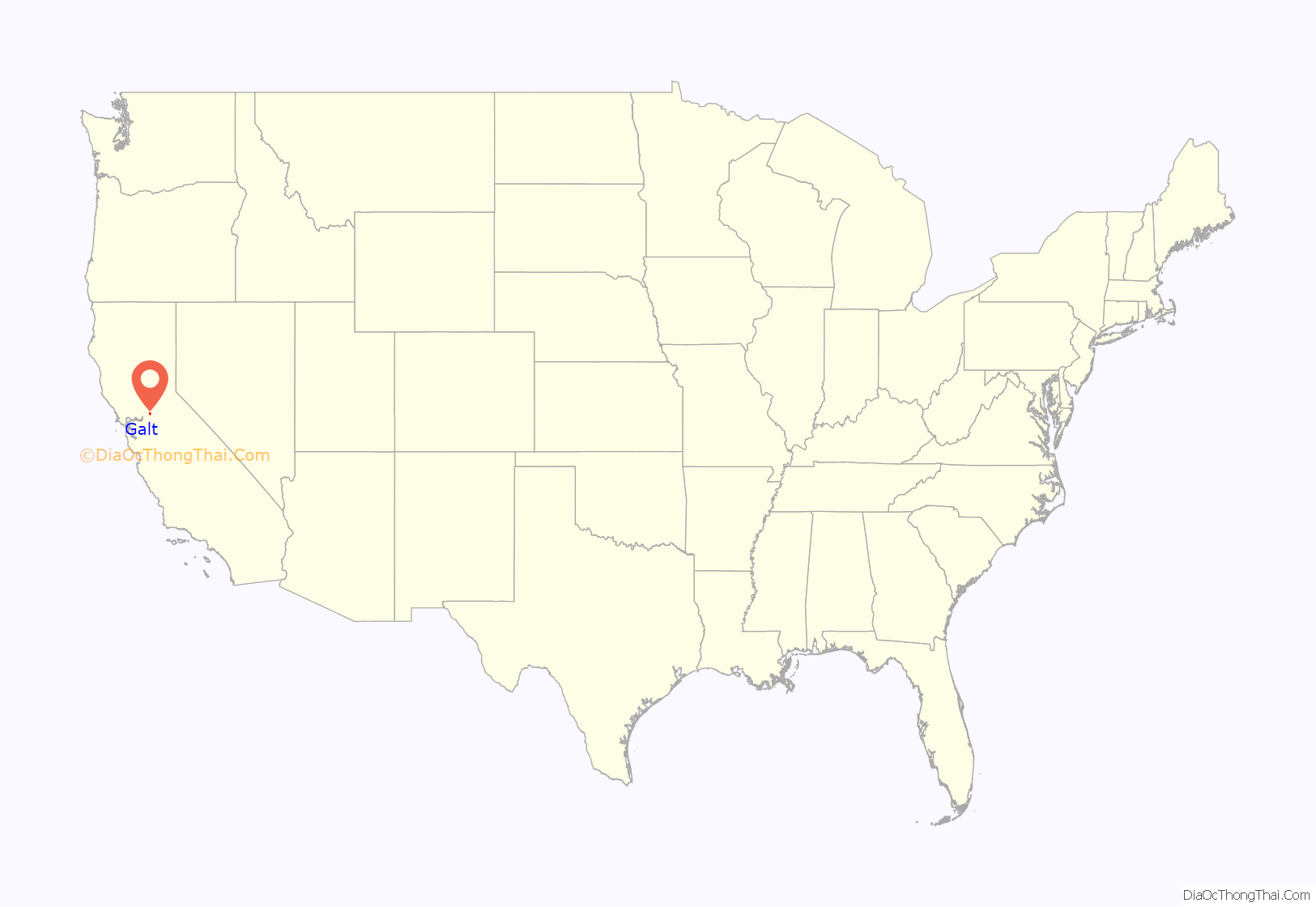
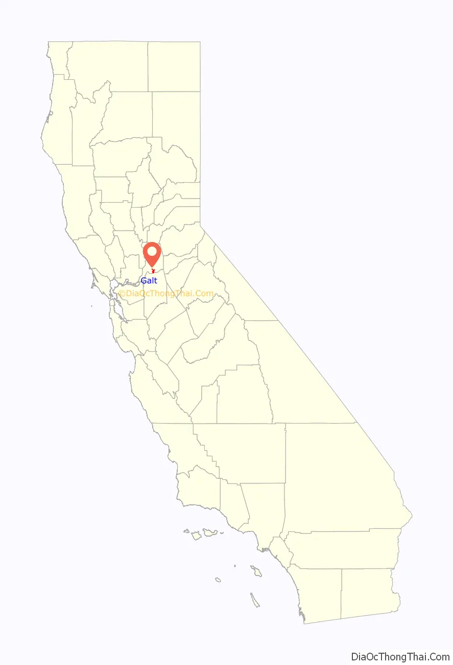
Galt location map. Where is Galt city?
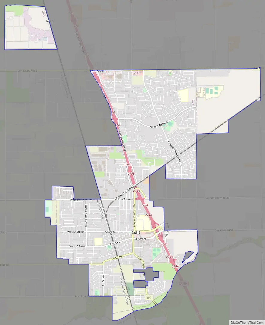
Galt Road Map
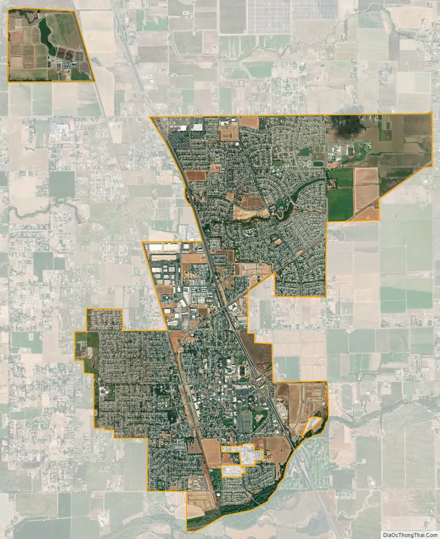
Galt city Satellite Map
Geography
Galt is located at 38°15′39″N 121°18′11″W / 38.260842°N 121.303122°W / 38.260842; -121.303122.
According to the United States Census Bureau, the city has a total area of 5.9 square miles (15 km), of which 5.9 square miles (15 km) of it is land and 0.23% is water.
The city is bordered entirely by unincorporated areas of both Sacramento and San Joaquin Counties.
Toponymy
Galt was named in 1869 after the former city of Galt in Canada, now part of Cambridge, the hometown of John McFarland.
Climate
According to the Köppen Climate Classification system, Galt has a warm-summer Mediterranean climate, abbreviated “Csa” on climate maps.
See also
Map of California State and its subdivision:- Alameda
- Alpine
- Amador
- Butte
- Calaveras
- Colusa
- Contra Costa
- Del Norte
- El Dorado
- Fresno
- Glenn
- Humboldt
- Imperial
- Inyo
- Kern
- Kings
- Lake
- Lassen
- Los Angeles
- Madera
- Marin
- Mariposa
- Mendocino
- Merced
- Modoc
- Mono
- Monterey
- Napa
- Nevada
- Orange
- Placer
- Plumas
- Riverside
- Sacramento
- San Benito
- San Bernardino
- San Diego
- San Francisco
- San Joaquin
- San Luis Obispo
- San Mateo
- Santa Barbara
- Santa Clara
- Santa Cruz
- Shasta
- Sierra
- Siskiyou
- Solano
- Sonoma
- Stanislaus
- Sutter
- Tehama
- Trinity
- Tulare
- Tuolumne
- Ventura
- Yolo
- Yuba
- Alabama
- Alaska
- Arizona
- Arkansas
- California
- Colorado
- Connecticut
- Delaware
- District of Columbia
- Florida
- Georgia
- Hawaii
- Idaho
- Illinois
- Indiana
- Iowa
- Kansas
- Kentucky
- Louisiana
- Maine
- Maryland
- Massachusetts
- Michigan
- Minnesota
- Mississippi
- Missouri
- Montana
- Nebraska
- Nevada
- New Hampshire
- New Jersey
- New Mexico
- New York
- North Carolina
- North Dakota
- Ohio
- Oklahoma
- Oregon
- Pennsylvania
- Rhode Island
- South Carolina
- South Dakota
- Tennessee
- Texas
- Utah
- Vermont
- Virginia
- Washington
- West Virginia
- Wisconsin
- Wyoming


