Garberville is a census-designated place in Humboldt County, California. It is located on the South Fork of the Eel River 52 miles (84 km) south-southeast of Eureka, at an elevation of 535 feet (163 m). The population was 913 at the 2010 United States Census. It is approximately 200 miles (320 km) north of San Francisco, California, and within a fifteen-minute drive to Humboldt Redwoods State Park and a sixty-minute drive to Eureka, the county seat. Garberville is the primary town in the area known as the Mateel Region, consisting of parts of the Mattole and Eel River watersheds in southern Humboldt and northern Mendocino counties.
| Name: | Garberville CDP |
|---|---|
| LSAD Code: | 57 |
| LSAD Description: | CDP (suffix) |
| State: | California |
| County: | Humboldt County |
| Elevation: | 535 ft (163 m) |
| Total Area: | 2.762 sq mi (7.154 km²) |
| Land Area: | 2.705 sq mi (7.006 km²) |
| Water Area: | 0.057 sq mi (0.148 km²) 2.1% |
| Total Population: | 818 |
| Population Density: | 300/sq mi (110/km²) |
| ZIP code: | 95542 |
| Area code: | 707 |
| FIPS code: | 0628154 |
Online Interactive Map
Click on ![]() to view map in "full screen" mode.
to view map in "full screen" mode.
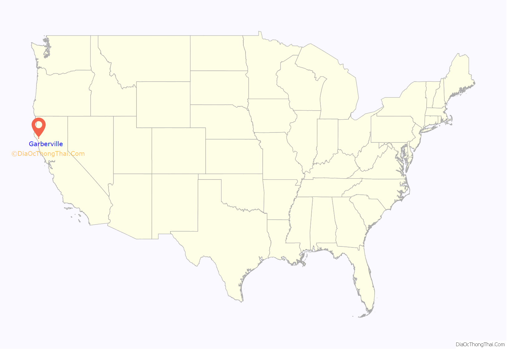
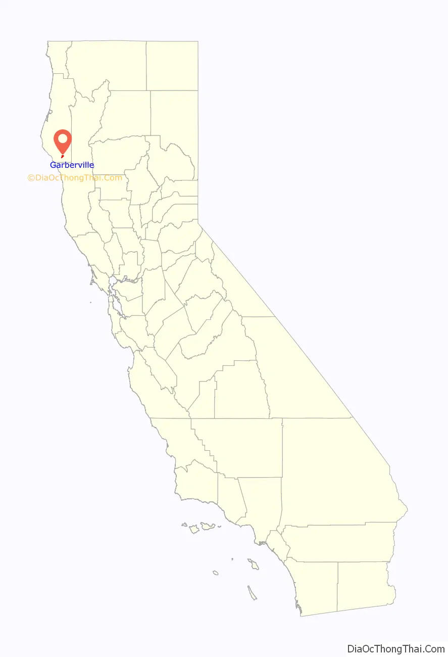
Garberville location map. Where is Garberville CDP?
History
Prior to recorded history, the area was populated by southern Sinkyone people.
In 1853, a Spanish explorer, Antone Garcia, settled in the area near Town Gulch, which runs through modern-day Garberville. The first post office in Garberville opened in 1874. Jacob C. Garber, the town postmaster, later named the town after himself in 1879.
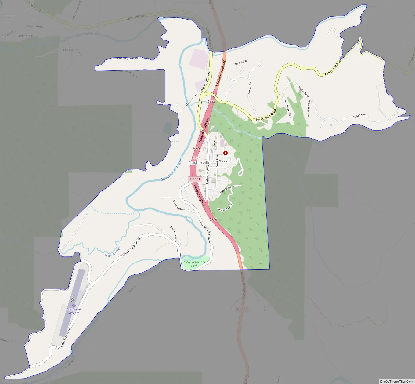
Garberville Road Map
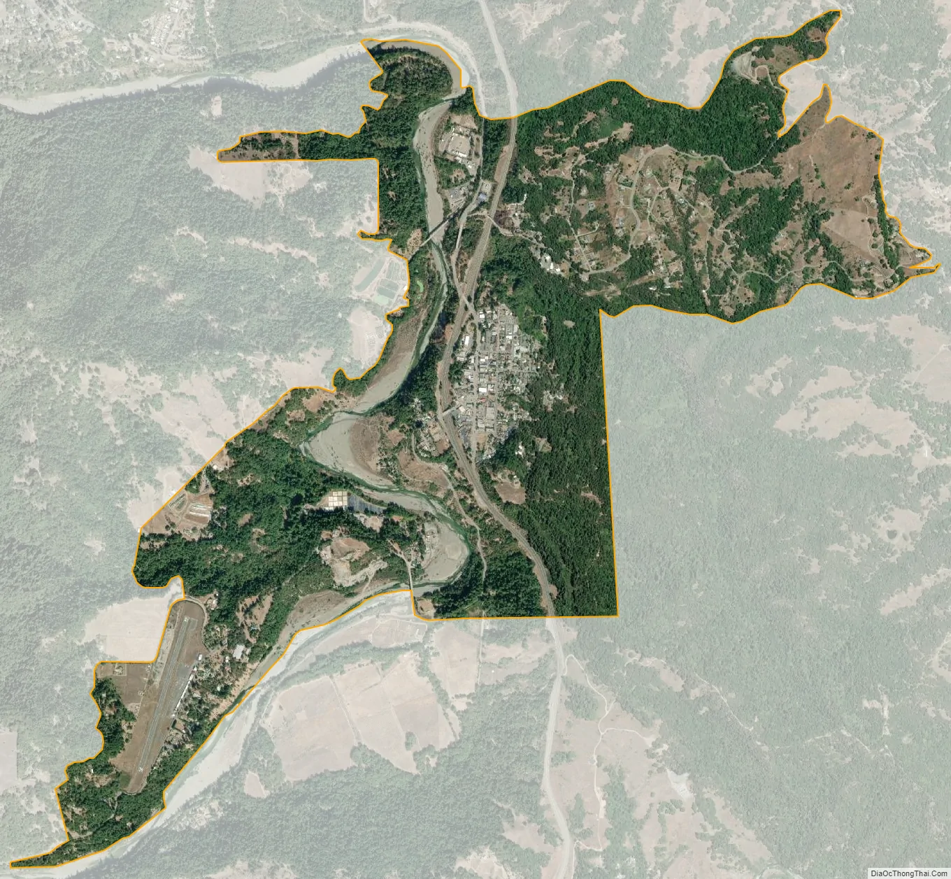
Garberville city Satellite Map
Geography
Garberville is located at 40°06′01″N 123°47′42″W / 40.10028°N 123.79500°W / 40.10028; -123.79500. The town is stretched out in a small forested valley bisected by U.S. Route 101, at an elevation of 535 feet (163 m). The nearby King’s Peak rises to 4,087 feet (1,246 m).
Climate
The Köppen Climate Classification subtype for this climate is Csb (Mediterranean climate), characterized by cold, rainy winters and hot, dry summers.
See also
Map of California State and its subdivision:- Alameda
- Alpine
- Amador
- Butte
- Calaveras
- Colusa
- Contra Costa
- Del Norte
- El Dorado
- Fresno
- Glenn
- Humboldt
- Imperial
- Inyo
- Kern
- Kings
- Lake
- Lassen
- Los Angeles
- Madera
- Marin
- Mariposa
- Mendocino
- Merced
- Modoc
- Mono
- Monterey
- Napa
- Nevada
- Orange
- Placer
- Plumas
- Riverside
- Sacramento
- San Benito
- San Bernardino
- San Diego
- San Francisco
- San Joaquin
- San Luis Obispo
- San Mateo
- Santa Barbara
- Santa Clara
- Santa Cruz
- Shasta
- Sierra
- Siskiyou
- Solano
- Sonoma
- Stanislaus
- Sutter
- Tehama
- Trinity
- Tulare
- Tuolumne
- Ventura
- Yolo
- Yuba
- Alabama
- Alaska
- Arizona
- Arkansas
- California
- Colorado
- Connecticut
- Delaware
- District of Columbia
- Florida
- Georgia
- Hawaii
- Idaho
- Illinois
- Indiana
- Iowa
- Kansas
- Kentucky
- Louisiana
- Maine
- Maryland
- Massachusetts
- Michigan
- Minnesota
- Mississippi
- Missouri
- Montana
- Nebraska
- Nevada
- New Hampshire
- New Jersey
- New Mexico
- New York
- North Carolina
- North Dakota
- Ohio
- Oklahoma
- Oregon
- Pennsylvania
- Rhode Island
- South Carolina
- South Dakota
- Tennessee
- Texas
- Utah
- Vermont
- Virginia
- Washington
- West Virginia
- Wisconsin
- Wyoming


