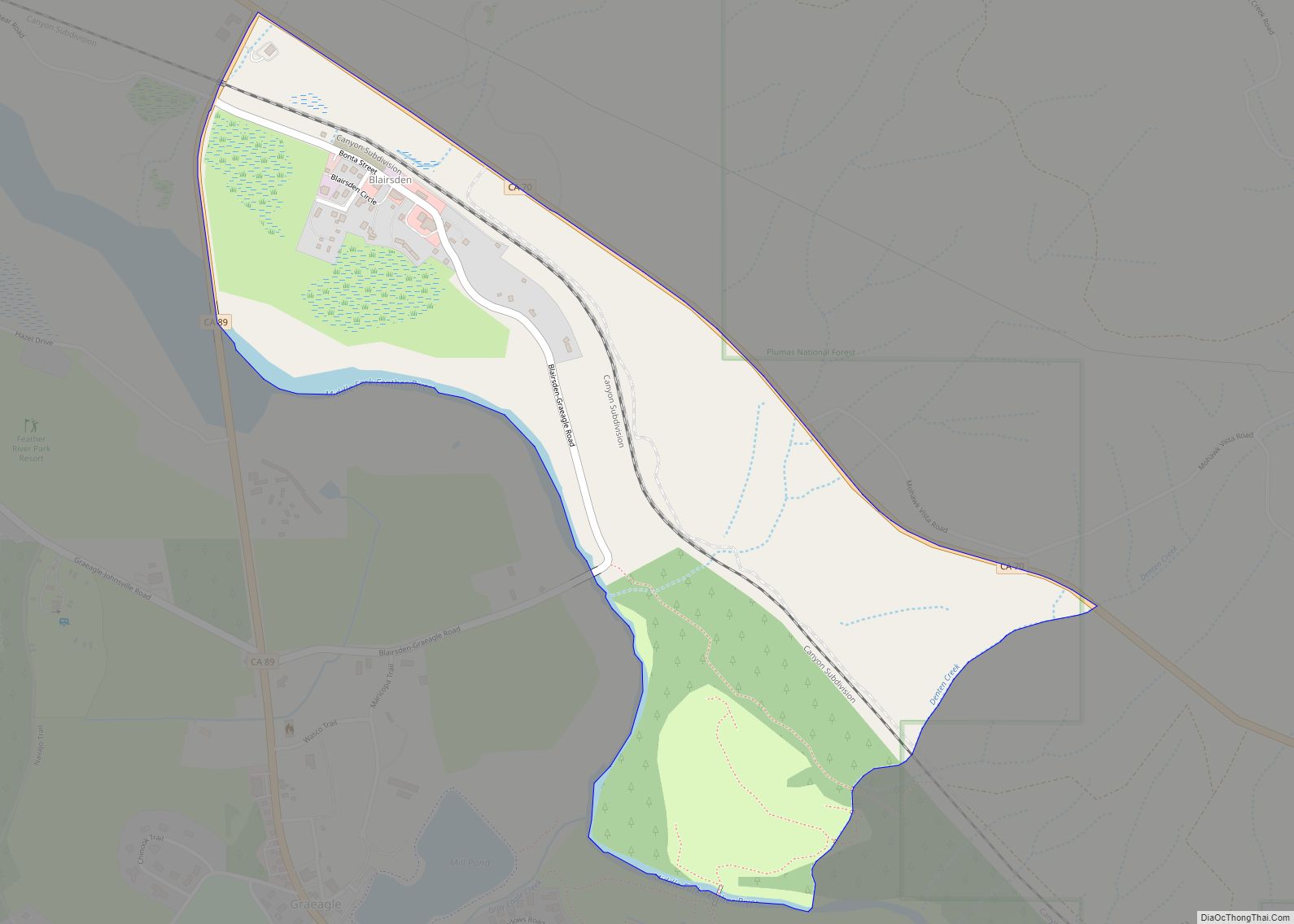
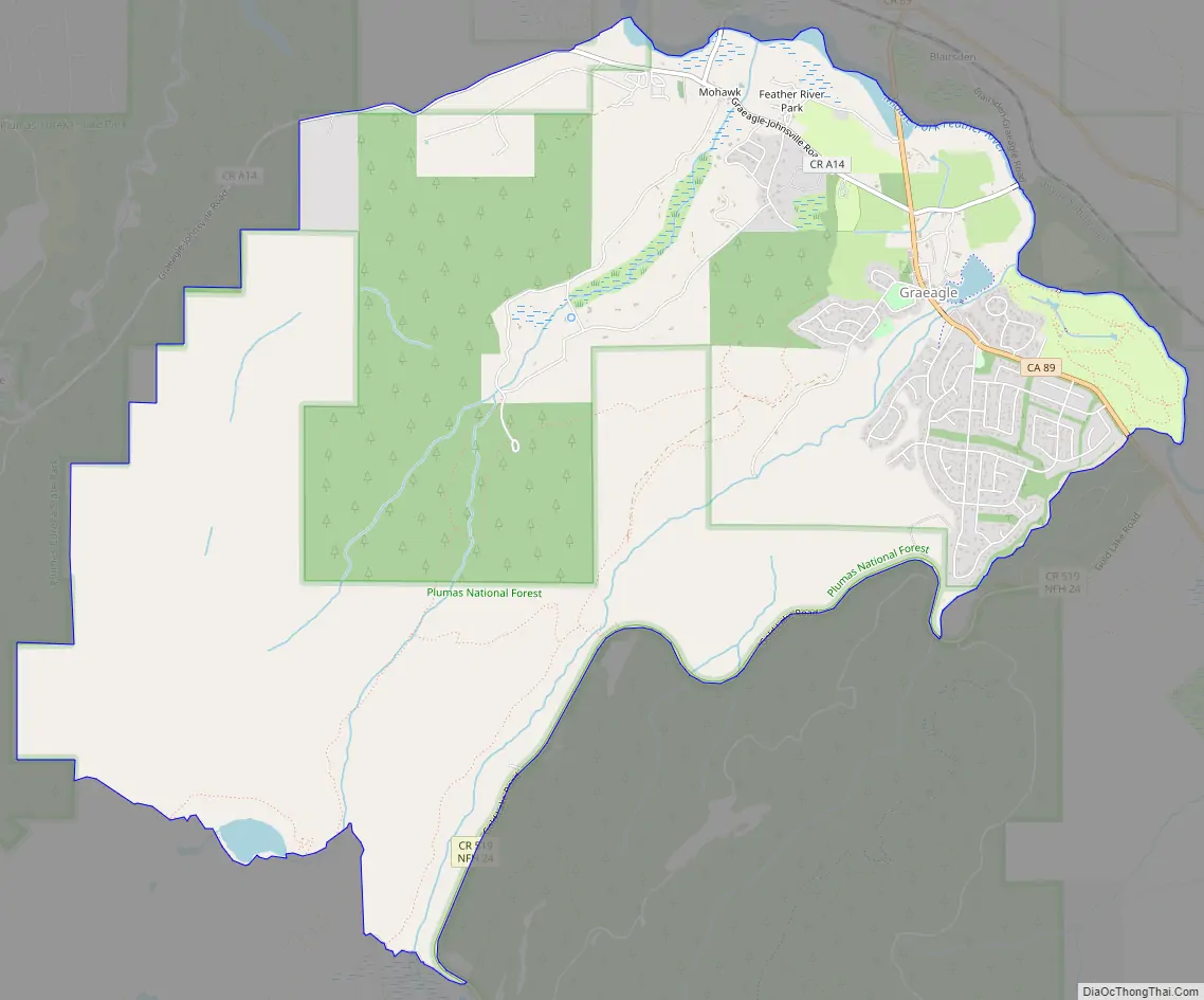
Graeagle is a town and census-designated place in eastern Plumas County, California, United States, located along the Middle Fork Feather River in the Northern Sierra Nevada. The population was 737 as of 2010.
| Name: | Graeagle CDP |
|---|---|
| LSAD Code: | 57 |
| LSAD Description: | CDP (suffix) |
| State: | California |
| County: | Plumas County |
| Elevation: | 4,373 ft (1,333 m) |
| Total Area: | 11.124 sq mi (28.812 km²) |
| Land Area: | 11.067 sq mi (28.664 km²) |
| Water Area: | 0.057 sq mi (0.148 km²) 0.51% |
| Total Population: | 737 |
| Population Density: | 66/sq mi (26/km²) |
| ZIP code: | 96103 |
| Area code: | 530 |
| FIPS code: | 0630560 |
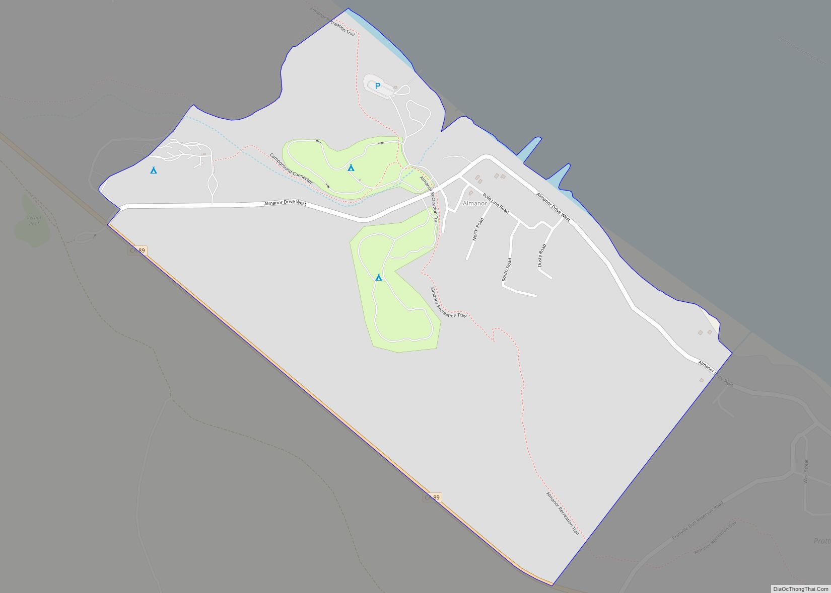
Online Interactive Map
Click on ![]() to view map in "full screen" mode.
to view map in "full screen" mode.
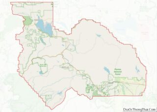
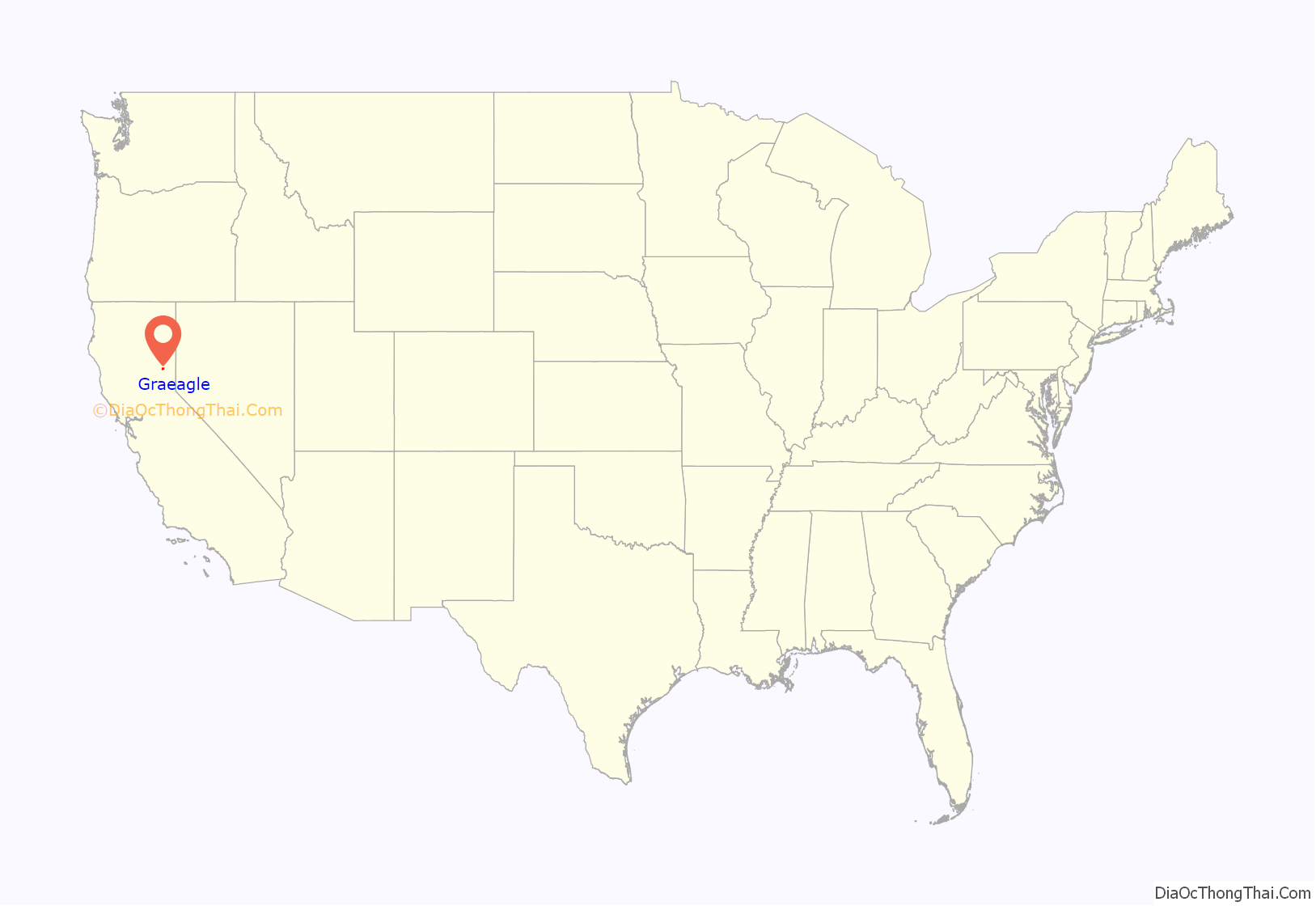
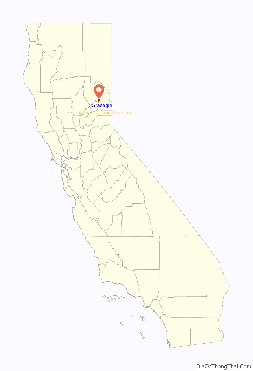
Graeagle location map. Where is Graeagle CDP?
History
The town was founded in 1916 as a lumber town. A post office was established in 1919 with the moniker of Davies Mill. When the mill changed ownership in the 1920s, a naming contest was held. Belle Byrne contracted the name of nearby Gray Eagle Creek to Graeagle, winning the contest and its $5 prize.
The name of the creek may have had some connection with Edward D Baker, the “Gray Eagle of Republicanism,” who was in the mining region in 1856 while stumping the state for Frémont.
Graeagle Lumber Company was owned by the California Fruit Exchange which employed hundreds in logging, lumber production and the manufacturing of box shook (boxes for picking and shipping fruit and vegetables) from the 1920s to the 1950s. Modernization closed the mill in 1956 and the box factory in 1957. The town was acquired by the West family in 1959.
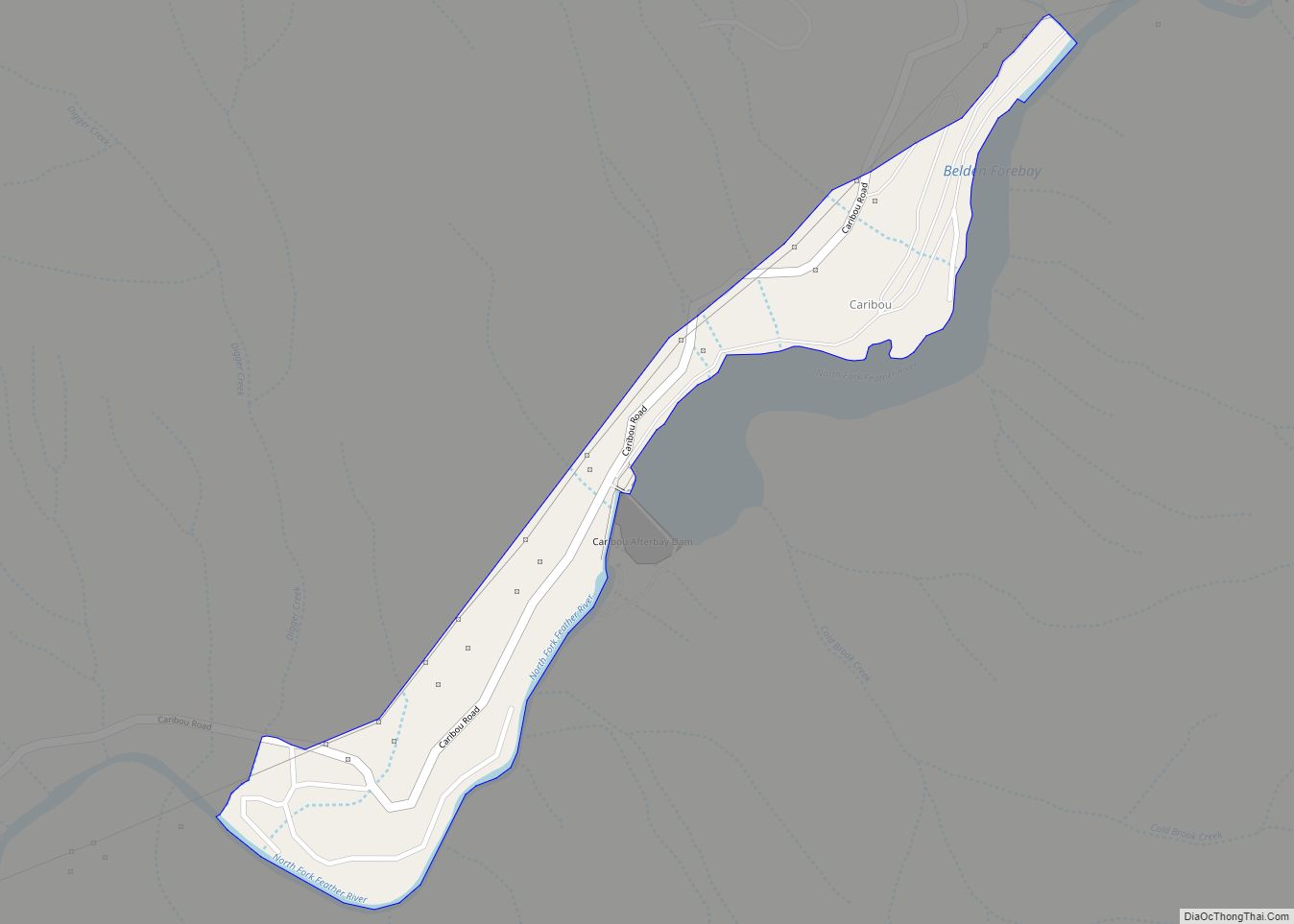
Graeagle Road Map
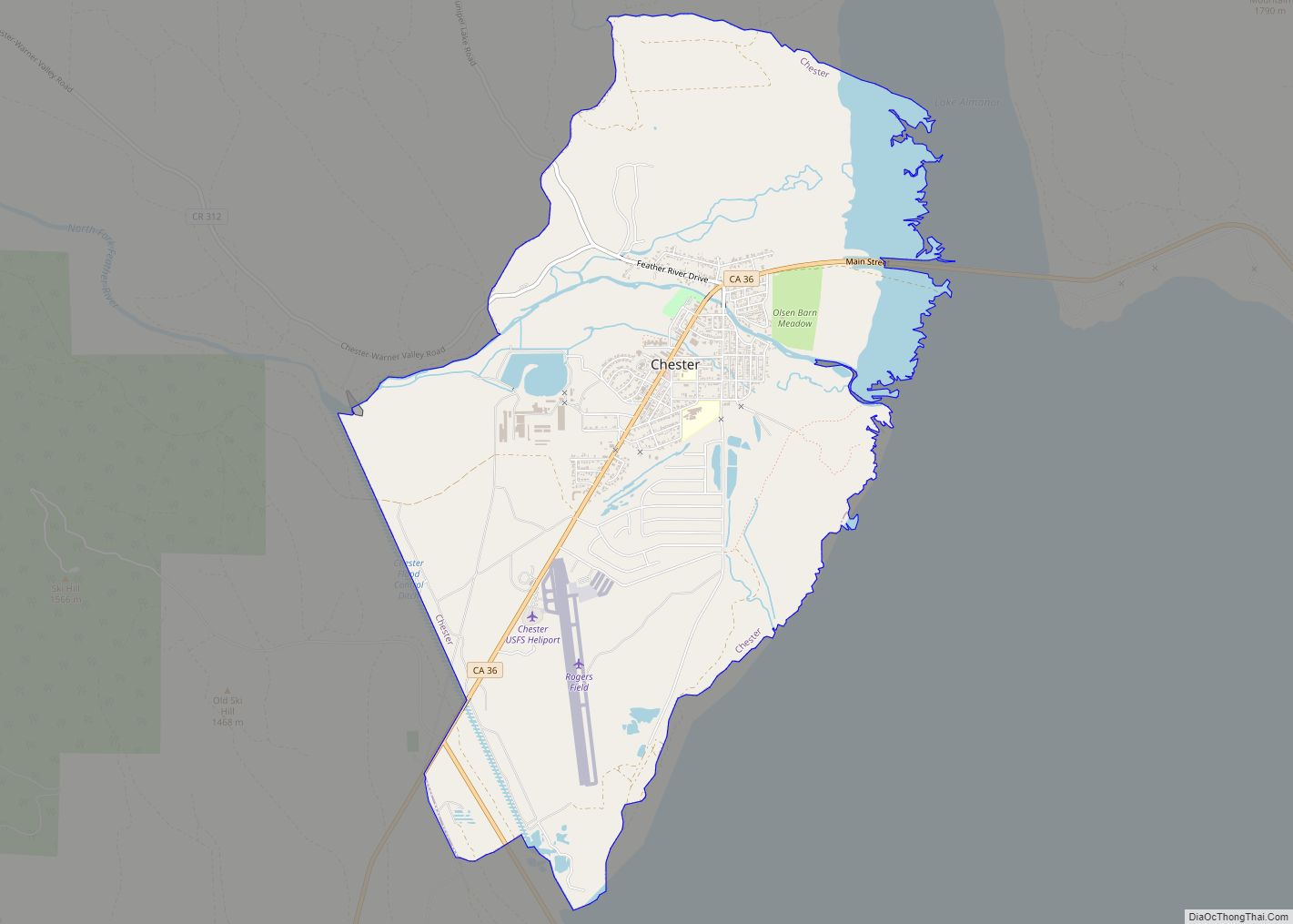
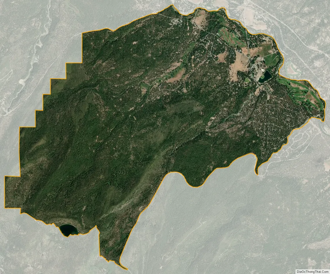
Graeagle city Satellite Map
Geography
According to the United States Census Bureau, the CDP has a total area of 11.1 square miles (29 km), of which 11.04 square miles (28.6 km) is land and 0.06 square miles (0.16 km) (0.51%) is water.
See also
Map of California State and its subdivision:- Alameda
- Alpine
- Amador
- Butte
- Calaveras
- Colusa
- Contra Costa
- Del Norte
- El Dorado
- Fresno
- Glenn
- Humboldt
- Imperial
- Inyo
- Kern
- Kings
- Lake
- Lassen
- Los Angeles
- Madera
- Marin
- Mariposa
- Mendocino
- Merced
- Modoc
- Mono
- Monterey
- Napa
- Nevada
- Orange
- Placer
- Plumas
- Riverside
- Sacramento
- San Benito
- San Bernardino
- San Diego
- San Francisco
- San Joaquin
- San Luis Obispo
- San Mateo
- Santa Barbara
- Santa Clara
- Santa Cruz
- Shasta
- Sierra
- Siskiyou
- Solano
- Sonoma
- Stanislaus
- Sutter
- Tehama
- Trinity
- Tulare
- Tuolumne
- Ventura
- Yolo
- Yuba
- Alabama
- Alaska
- Arizona
- Arkansas
- California
- Colorado
- Connecticut
- Delaware
- District of Columbia
- Florida
- Georgia
- Hawaii
- Idaho
- Illinois
- Indiana
- Iowa
- Kansas
- Kentucky
- Louisiana
- Maine
- Maryland
- Massachusetts
- Michigan
- Minnesota
- Mississippi
- Missouri
- Montana
- Nebraska
- Nevada
- New Hampshire
- New Jersey
- New Mexico
- New York
- North Carolina
- North Dakota
- Ohio
- Oklahoma
- Oregon
- Pennsylvania
- Rhode Island
- South Carolina
- South Dakota
- Tennessee
- Texas
- Utah
- Vermont
- Virginia
- Washington
- West Virginia
- Wisconsin
- Wyoming