Granite Hills is a census-designated place in San Diego County, California. The name is also applied to a neighborhood within the city limits of El Cajon in the eastern part of that city. The population of the CDP, which does not include the people living within the city of El Cajon, was 3,035 at the 2010 census, down from 3,246 at the 2000 census.
| Name: | Granite Hills CDP |
|---|---|
| LSAD Code: | 57 |
| LSAD Description: | CDP (suffix) |
| State: | California |
| County: | San Diego County |
| Elevation: | 659 ft (201 m) |
| Total Area: | 2.849 sq mi (7.378 km²) |
| Land Area: | 2.849 sq mi (7.378 km²) |
| Water Area: | 0 sq mi (0 km²) 0% |
| Total Population: | 3,035 |
| Population Density: | 1,100/sq mi (410/km²) |
| ZIP code: | 92021 |
| Area code: | 619 |
| FIPS code: | 0630703 |
| GNISfeature ID: | 1867026 |
Online Interactive Map
Click on ![]() to view map in "full screen" mode.
to view map in "full screen" mode.
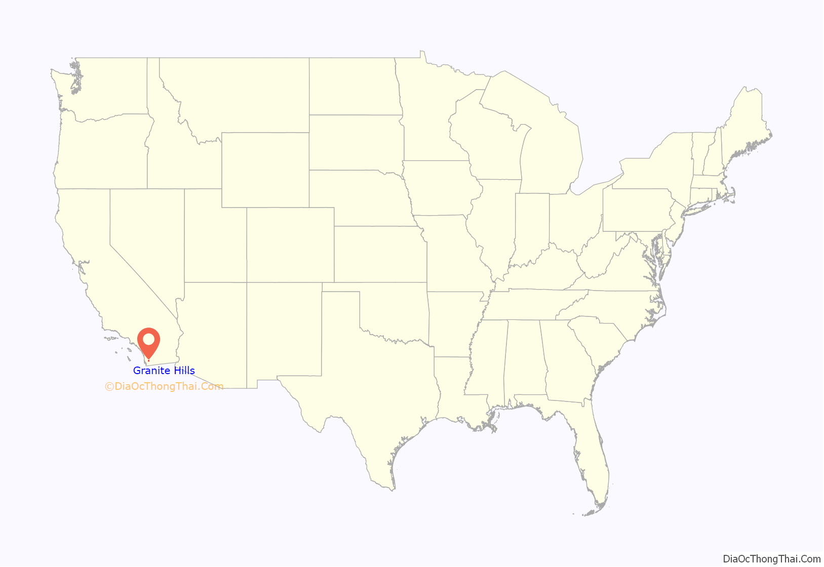
Granite Hills location map. Where is Granite Hills CDP?
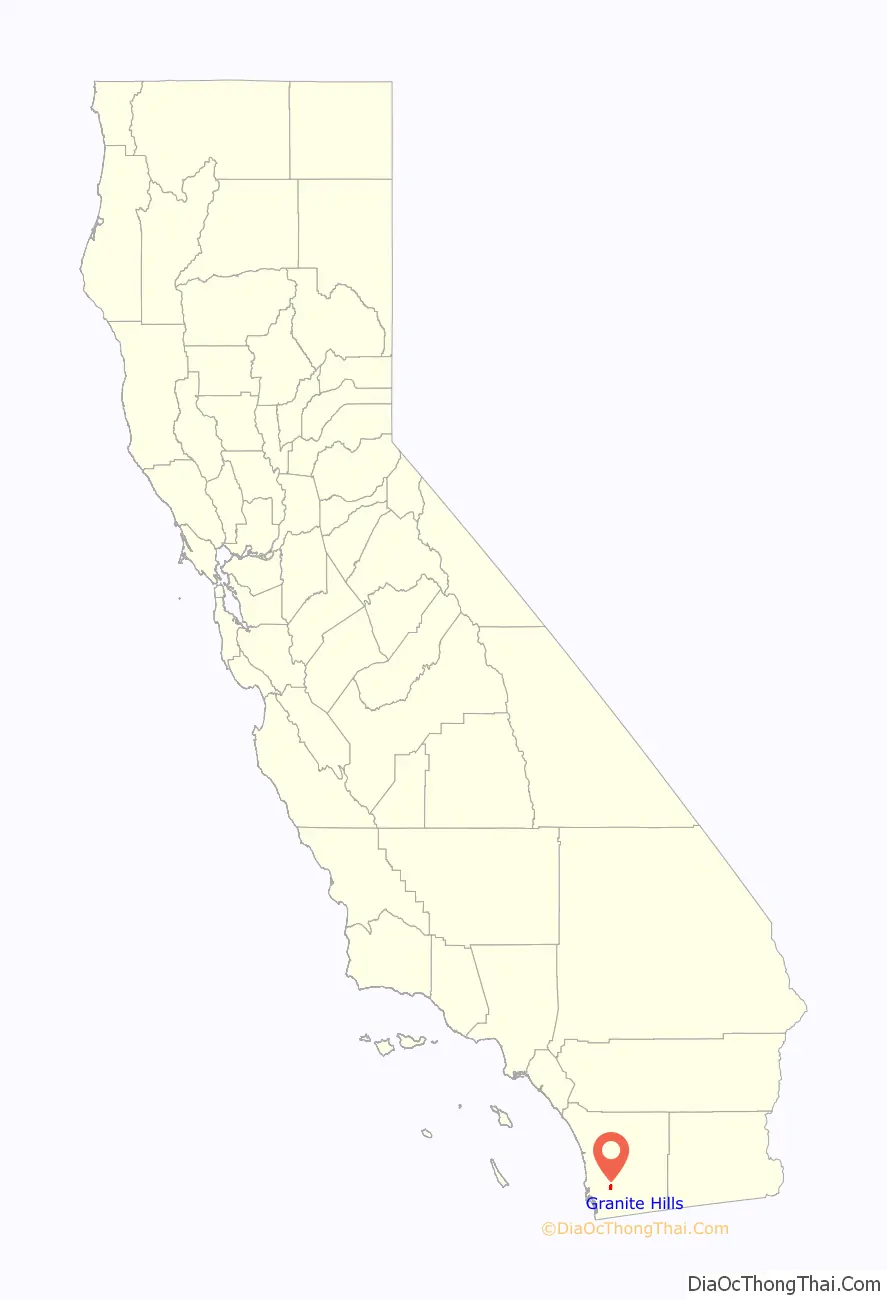
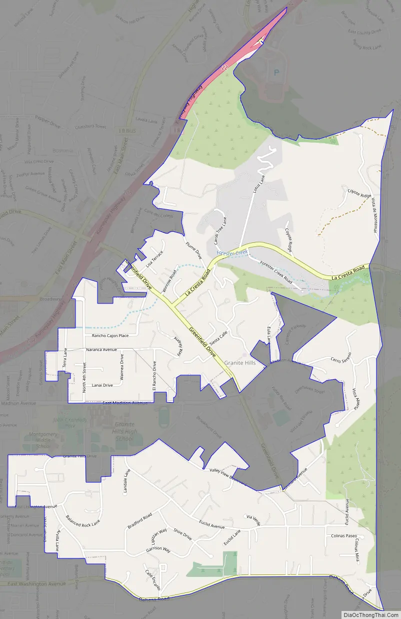
Granite Hills Road Map
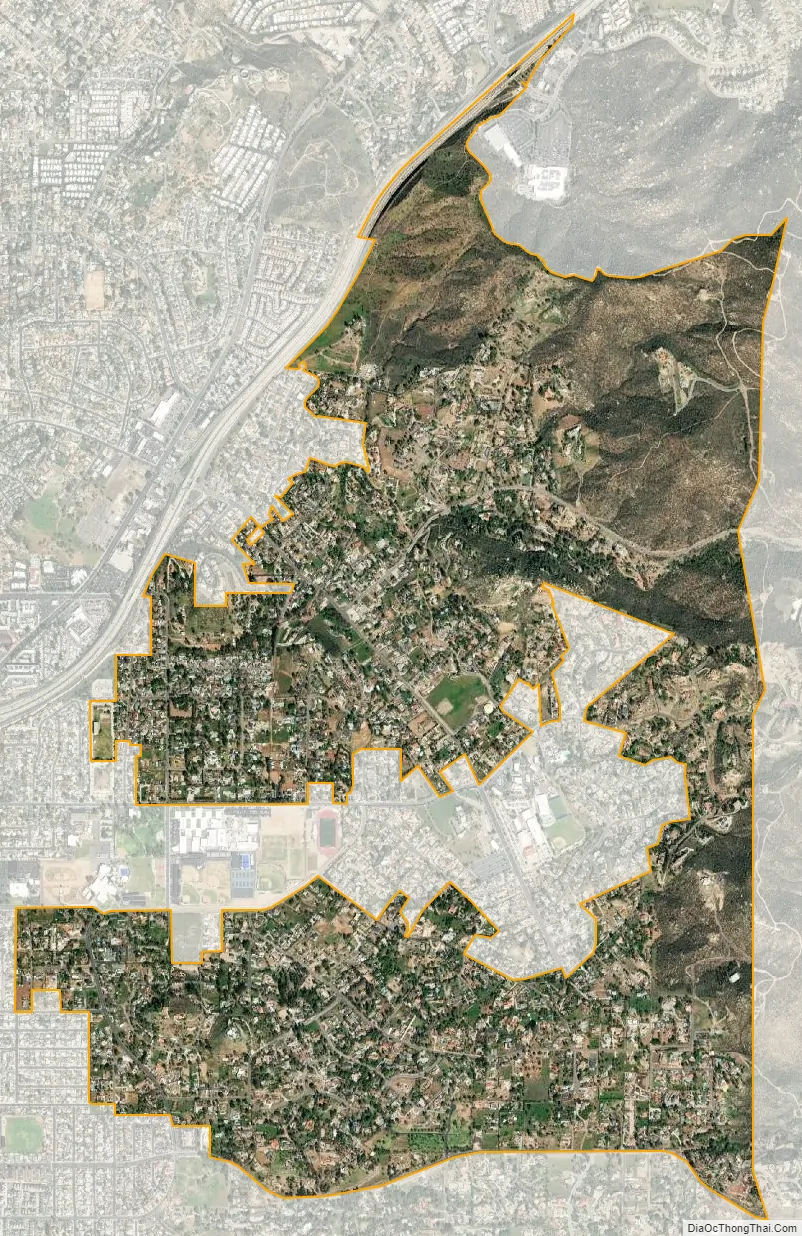
Granite Hills city Satellite Map
Geography
According to the USGS, Granite Hills is located at 32°48′11″N 116°54′17″W / 32.80306°N 116.90472°W / 32.80306; -116.90472 (32.8031070, -116.9047476), which is near intersection of Madison Avenue and Greenfield Drive. The part of Granite Hills within the city of El Cajon consists of a “gerrymandered” corridor, approximately 0.25 miles (0.40 km) wide on the south side of Madison Avenue, roughly through the center of the neighborhood. The rest of the neighborhood is on unincorporated land. According to the United States Census Bureau, the Granite Hills CDP is located at 32°48′15″N 116°54′38″W / 32.80417°N 116.91056°W / 32.80417; -116.91056 (32.804101, -116.910522). This is approximately 0.4 miles (0.64 km) west-northwest of where the USGS places Granite Hills. The CDP comprises most of unincorporated El Cajon east of the San Bernardino Meridian, north of Dehesa Road and has a total area of 2.8 square miles (7.3 km), all land. Mail sent to all parts of Granite Hills is addressed to El Cajon, California.
See also
Map of California State and its subdivision:- Alameda
- Alpine
- Amador
- Butte
- Calaveras
- Colusa
- Contra Costa
- Del Norte
- El Dorado
- Fresno
- Glenn
- Humboldt
- Imperial
- Inyo
- Kern
- Kings
- Lake
- Lassen
- Los Angeles
- Madera
- Marin
- Mariposa
- Mendocino
- Merced
- Modoc
- Mono
- Monterey
- Napa
- Nevada
- Orange
- Placer
- Plumas
- Riverside
- Sacramento
- San Benito
- San Bernardino
- San Diego
- San Francisco
- San Joaquin
- San Luis Obispo
- San Mateo
- Santa Barbara
- Santa Clara
- Santa Cruz
- Shasta
- Sierra
- Siskiyou
- Solano
- Sonoma
- Stanislaus
- Sutter
- Tehama
- Trinity
- Tulare
- Tuolumne
- Ventura
- Yolo
- Yuba
- Alabama
- Alaska
- Arizona
- Arkansas
- California
- Colorado
- Connecticut
- Delaware
- District of Columbia
- Florida
- Georgia
- Hawaii
- Idaho
- Illinois
- Indiana
- Iowa
- Kansas
- Kentucky
- Louisiana
- Maine
- Maryland
- Massachusetts
- Michigan
- Minnesota
- Mississippi
- Missouri
- Montana
- Nebraska
- Nevada
- New Hampshire
- New Jersey
- New Mexico
- New York
- North Carolina
- North Dakota
- Ohio
- Oklahoma
- Oregon
- Pennsylvania
- Rhode Island
- South Carolina
- South Dakota
- Tennessee
- Texas
- Utah
- Vermont
- Virginia
- Washington
- West Virginia
- Wisconsin
- Wyoming


