Harbison Canyon is a census-designated place (CDP) in San Diego County, California. Harbison Canyon had a population of 4,048 as of the 2020 census, up from 3,841 as of the 2010 census.
| Name: | Harbison Canyon CDP |
|---|---|
| LSAD Code: | 57 |
| LSAD Description: | CDP (suffix) |
| State: | California |
| County: | San Diego County |
| Elevation: | 906 ft (276 m) |
| Total Area: | 10.059 sq mi (26.052 km²) |
| Land Area: | 10.059 sq mi (26.052 km²) |
| Water Area: | 0 sq mi (0 km²) 0% |
| Total Population: | 4,048 |
| Population Density: | 400/sq mi (160/km²) |
| ZIP code: | 92019 |
| Area code: | 619 |
| FIPS code: | 0632044 |
Online Interactive Map
Click on ![]() to view map in "full screen" mode.
to view map in "full screen" mode.
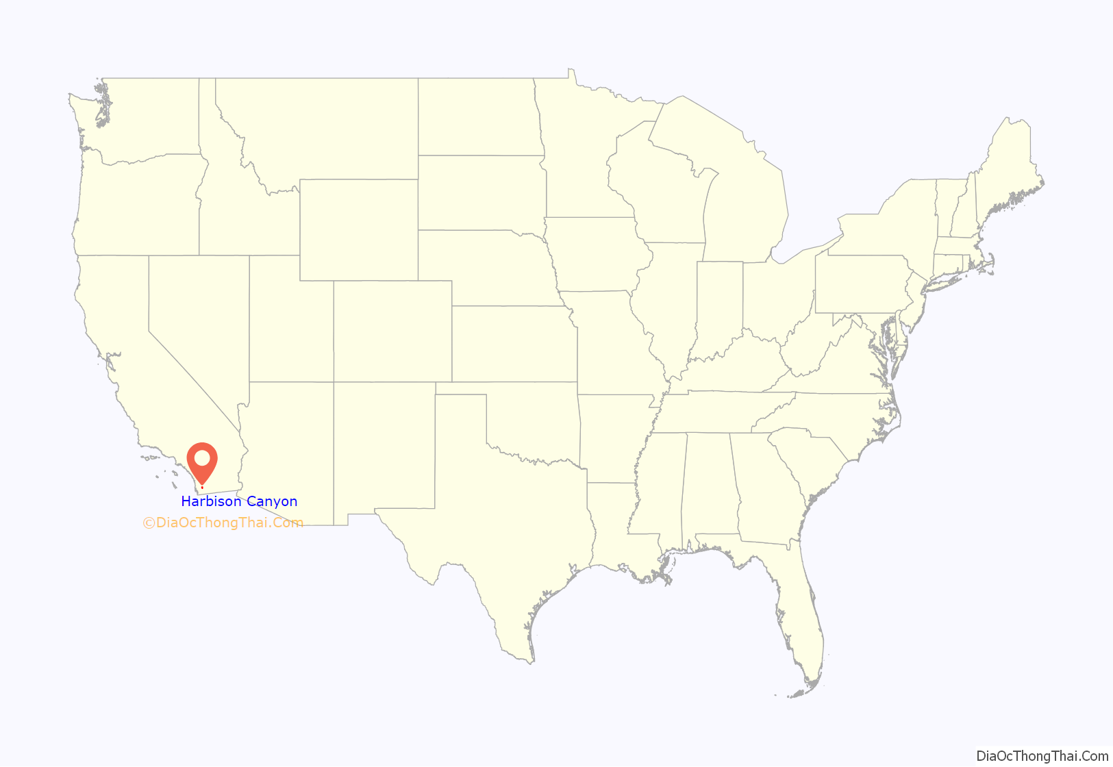
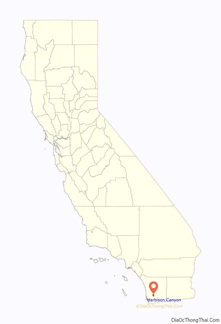
Harbison Canyon location map. Where is Harbison Canyon CDP?
History
John Stewart Harbison
John Stewart Harbison was born the third child of William and Margaret (Curry) Harbison, on a farm near Freedom, Beaver County, Pennsylvania, on September 29, 1826.
He became a beekeeper in the tradition of his father, and later migrated to the west coast of the United States. After spending some years in other California locations, he eventually arrived in San Diego aboard the ship Orizaba with one hundred and ten colonies of bees on November 28, 1869. In the spring of 1874 he moved with his wife and daughter to a homestead near the Sweetwater River twenty-three miles east of San Diego in a small valley now known as Harbison Canyon. Within seven years time, he was the largest producer of honey in the world, operating two thousand to three thousand hives. At that time, having several hundred hives was considered a large operation.
His success in capitalizing on the vast honey potential of San Diego County, along with his extensive campaign of selling bees to the residents of the county was the major force in making San Diego County the greatest honey-producing county in the State of California by 1874, which in turn made California the leading honey producing state of the Union. John Harbison was a major contributor to the theory of bee culture with his development of new tools and methods that characterized the remarkable advances made in nineteenth century apicultural science. Harbison and his brother William were both important 19th century American authors on bee keeping science. Furthermore, he opened up the great retail markets east of the Mississippi River needed to absorb the tremendous honey crops produced in California. Harbison, known as the “King of the Beekeepers” died on October 12, 1912, in San Diego at the age of eighty-six.
Fires
Harbison Canyon was twice devastated by wildfires, first by the Laguna Fire in 1970 then again by the Cedar Fire on October 26, 2003, the worst firestorm in California history. The town lost 370 homes out of 420 in the community. Homes were still being rebuilt as recently as 2007. The community was bestowed considerable attention by the news media, which led to a visit within weeks by Governor Gray Davis, Governor-elect Arnold Schwarzenegger, his wife Maria (Kennedy-Schriver) Schwarzenegger and President George W Bush. The president arrived by helicopter which landed on the grounds of the Shadow Hills Elementary School.
The community received help in rebuilding from many organizations, most notably from the New York Says Thank You Foundation which was created in response to the tremendous support given to New Yorkers from people all over the United States after the September 11 attacks. Since 2003, the Harbison Canyon Lions Club has participated in numerous post-disaster rebuilding projects around the U.S. sponsored by the NYSTY Foundation.
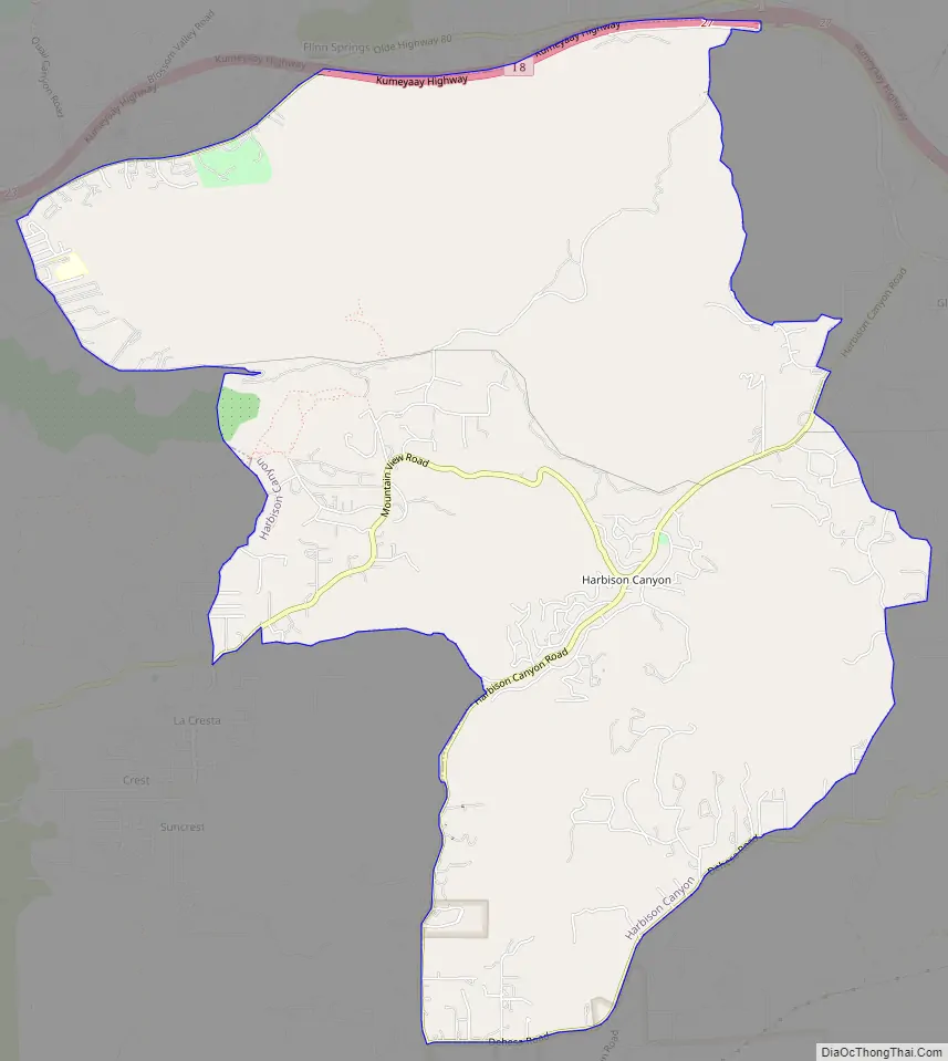
Harbison Canyon Road Map
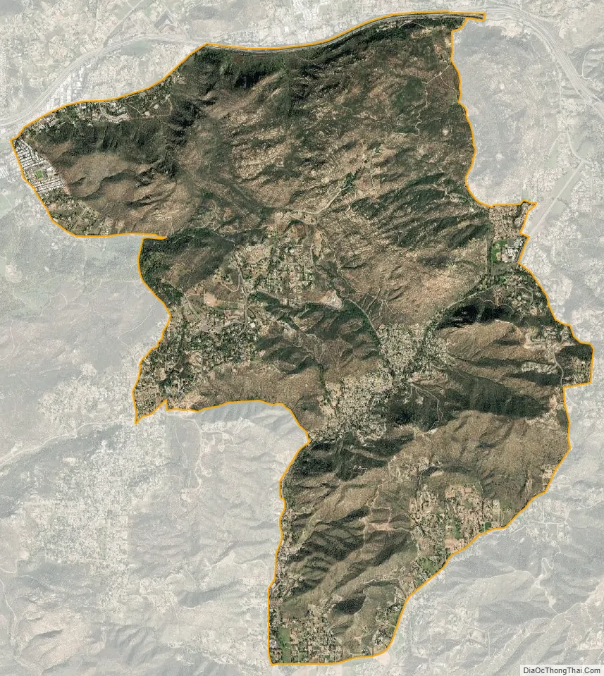
Harbison Canyon city Satellite Map
Geography
According to the United States Geological Survey (USGS) Harbison Canyon is located at 32°49′13″N 116°49′48″W / 32.82028°N 116.83000°W / 32.82028; -116.83000 (32.8203296, -116.8300236), which is near the intersection of Harbison Canyon Road and Frances Drive. This is where most maps place the community. It is located in a canyon between Crest and Alpine. Mail sent to Harbison Canyon is addressed to El Cajon.
According to the United States Census Bureau Harbison Canyon is located at 32°49′16″N 116°50′24″W / 32.82111°N 116.84000°W / 32.82111; -116.84000 (32.821101, -116.840051). This is approximately 3,100 feet west of the USGS location in undeveloped hills west of the community.
According to the United States Census Bureau, the Harbison Canyon census-designated place (CDP) has a total area of 10.1 square miles (26 km), all land.
See also
Map of California State and its subdivision:- Alameda
- Alpine
- Amador
- Butte
- Calaveras
- Colusa
- Contra Costa
- Del Norte
- El Dorado
- Fresno
- Glenn
- Humboldt
- Imperial
- Inyo
- Kern
- Kings
- Lake
- Lassen
- Los Angeles
- Madera
- Marin
- Mariposa
- Mendocino
- Merced
- Modoc
- Mono
- Monterey
- Napa
- Nevada
- Orange
- Placer
- Plumas
- Riverside
- Sacramento
- San Benito
- San Bernardino
- San Diego
- San Francisco
- San Joaquin
- San Luis Obispo
- San Mateo
- Santa Barbara
- Santa Clara
- Santa Cruz
- Shasta
- Sierra
- Siskiyou
- Solano
- Sonoma
- Stanislaus
- Sutter
- Tehama
- Trinity
- Tulare
- Tuolumne
- Ventura
- Yolo
- Yuba
- Alabama
- Alaska
- Arizona
- Arkansas
- California
- Colorado
- Connecticut
- Delaware
- District of Columbia
- Florida
- Georgia
- Hawaii
- Idaho
- Illinois
- Indiana
- Iowa
- Kansas
- Kentucky
- Louisiana
- Maine
- Maryland
- Massachusetts
- Michigan
- Minnesota
- Mississippi
- Missouri
- Montana
- Nebraska
- Nevada
- New Hampshire
- New Jersey
- New Mexico
- New York
- North Carolina
- North Dakota
- Ohio
- Oklahoma
- Oregon
- Pennsylvania
- Rhode Island
- South Carolina
- South Dakota
- Tennessee
- Texas
- Utah
- Vermont
- Virginia
- Washington
- West Virginia
- Wisconsin
- Wyoming


