Hartland is a census-designated place (CDP) in Tulare County, California. Hartland sits at an elevation of 4,475 feet (1,364 m). The 2010 United States census reported Hartland’s population was 30.
| Name: | Hartland CDP |
|---|---|
| LSAD Code: | 57 |
| LSAD Description: | CDP (suffix) |
| State: | California |
| County: | Tulare County |
| Elevation: | 4,475 ft (1,364 m) |
| Total Area: | 0.611 sq mi (1.582 km²) |
| Land Area: | 0.611 sq mi (1.582 km²) |
| Water Area: | 0 sq mi (0 km²) 0% |
| Total Population: | 30 |
| Population Density: | 49/sq mi (19/km²) |
| FIPS code: | 0632324 |
| GNISfeature ID: | 2585423 |
Online Interactive Map
Click on ![]() to view map in "full screen" mode.
to view map in "full screen" mode.
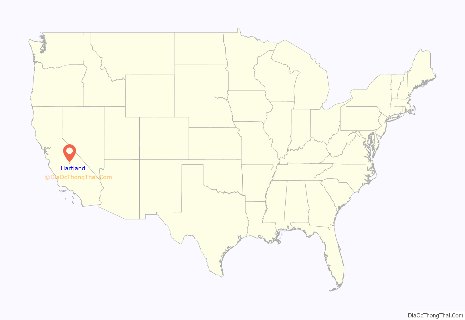
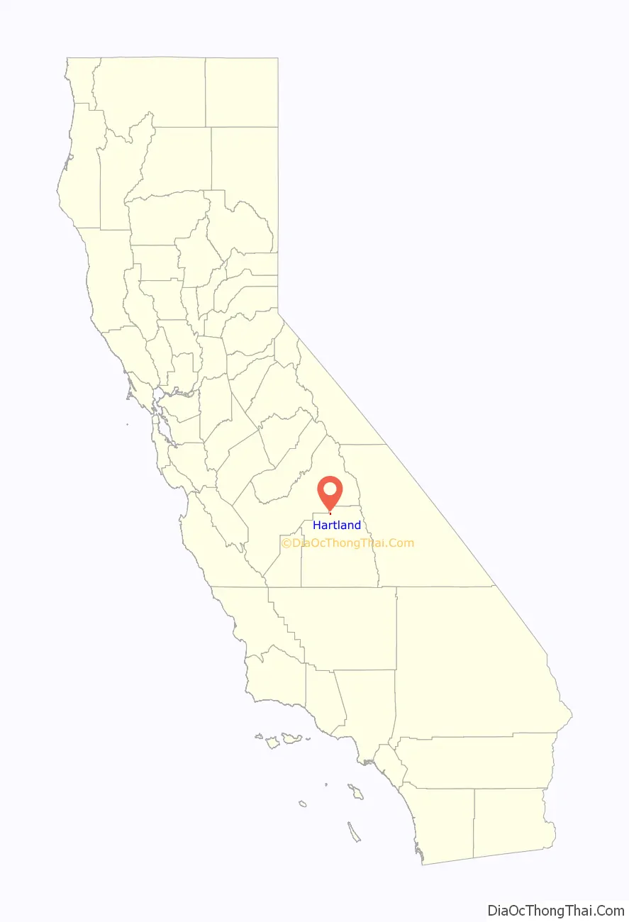
Hartland location map. Where is Hartland CDP?
History
Hartland was named for two of the first pioneer settlers of the area, William Michael Hart, and his wife, Sarah Matilda Land. William, known by “Michael” was the Great-Grandson of John Hart, Signer of the Declaration of Independence, whose children were scattered across many states after their father, a N.J. Senator in the American colonies signed the famous American document. John Hart’s New Jersey home and barns were burned, and his entire family at peril of imprisonment or torture by the British. One of John Hart’s many children was Daniel Hart who migrated to Randolph Co., West Virginia. Daniel’s son Hugh Hart then migrated further west to Danville, MO (named for Daniel Boone). Continuing on the family tradition of moving westward, Hugh’s son William Michael Hart traveled by covered wagon all the way to California sometime in the early 1850’s with his wife Sarah Matilda Land-Hart, of Missouri. All five of their daughters, and one son were born in the Angel’s Camp gold-mining area, where the Harts operated a small school for the Angel’s camp miners’ children. The 1870’s saw the family living down south in the Tulare Co. towns of Venice, Kaweah & Mineral King (at the edge of the King’s Canyon National Park), Orosi, Squaw Valley, and finally Eshom Valley in the 1880’s. The town of Hartland was named for the couple, as a composite of both their last names. “Michael” and Sarah Hart are buried in the tiny Eshom Valley cemetery, located less than 3 miles due east (as the crow flies), along with several of their family members.
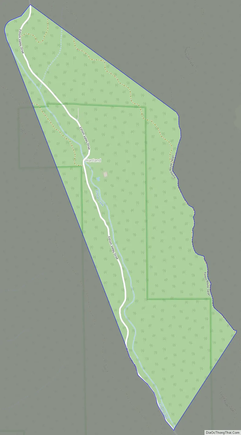
Hartland Road Map
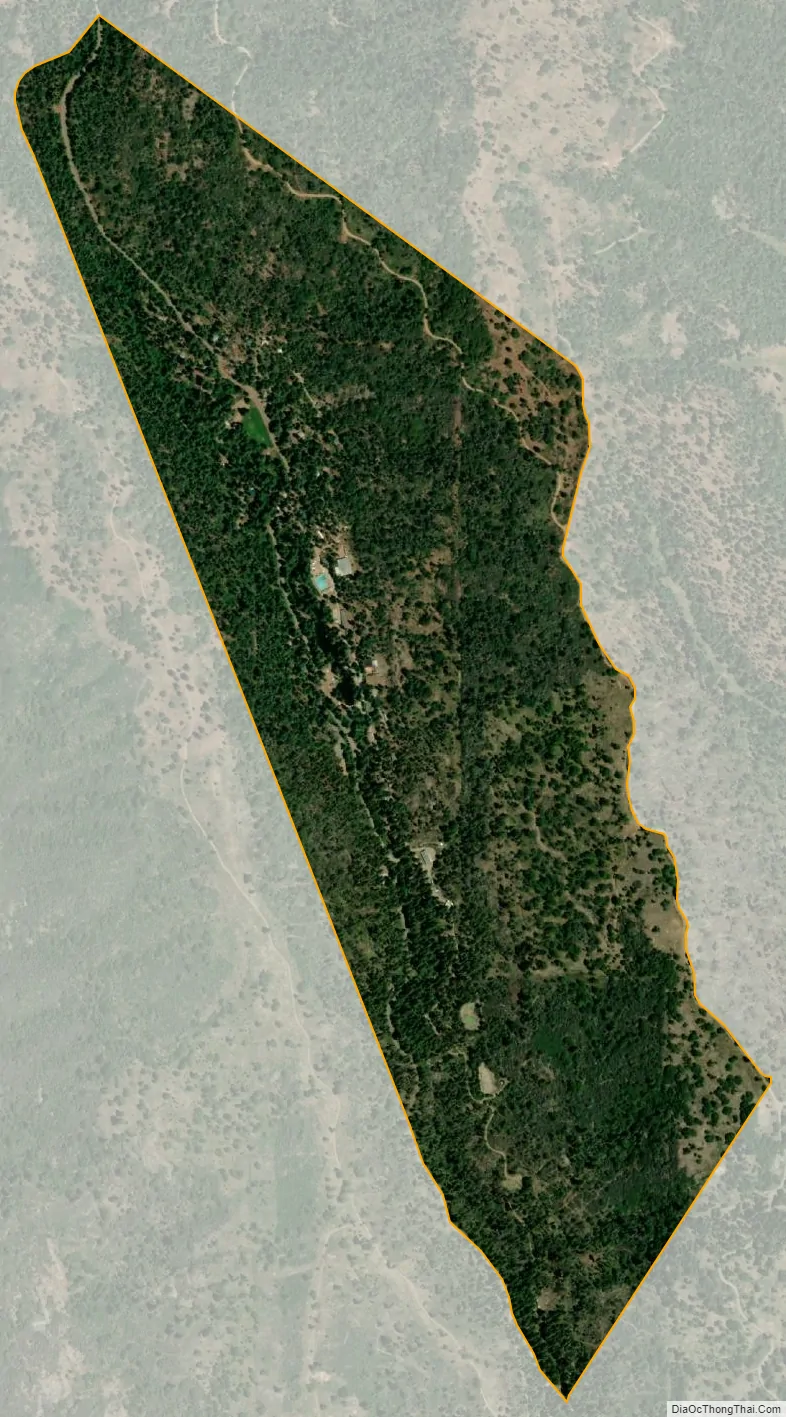
Hartland city Satellite Map
Geography
According to the United States Census Bureau, the CDP covers an area of 0.6 square miles (1.6 km), all of it land.
See also
Map of California State and its subdivision:- Alameda
- Alpine
- Amador
- Butte
- Calaveras
- Colusa
- Contra Costa
- Del Norte
- El Dorado
- Fresno
- Glenn
- Humboldt
- Imperial
- Inyo
- Kern
- Kings
- Lake
- Lassen
- Los Angeles
- Madera
- Marin
- Mariposa
- Mendocino
- Merced
- Modoc
- Mono
- Monterey
- Napa
- Nevada
- Orange
- Placer
- Plumas
- Riverside
- Sacramento
- San Benito
- San Bernardino
- San Diego
- San Francisco
- San Joaquin
- San Luis Obispo
- San Mateo
- Santa Barbara
- Santa Clara
- Santa Cruz
- Shasta
- Sierra
- Siskiyou
- Solano
- Sonoma
- Stanislaus
- Sutter
- Tehama
- Trinity
- Tulare
- Tuolumne
- Ventura
- Yolo
- Yuba
- Alabama
- Alaska
- Arizona
- Arkansas
- California
- Colorado
- Connecticut
- Delaware
- District of Columbia
- Florida
- Georgia
- Hawaii
- Idaho
- Illinois
- Indiana
- Iowa
- Kansas
- Kentucky
- Louisiana
- Maine
- Maryland
- Massachusetts
- Michigan
- Minnesota
- Mississippi
- Missouri
- Montana
- Nebraska
- Nevada
- New Hampshire
- New Jersey
- New Mexico
- New York
- North Carolina
- North Dakota
- Ohio
- Oklahoma
- Oregon
- Pennsylvania
- Rhode Island
- South Carolina
- South Dakota
- Tennessee
- Texas
- Utah
- Vermont
- Virginia
- Washington
- West Virginia
- Wisconsin
- Wyoming


