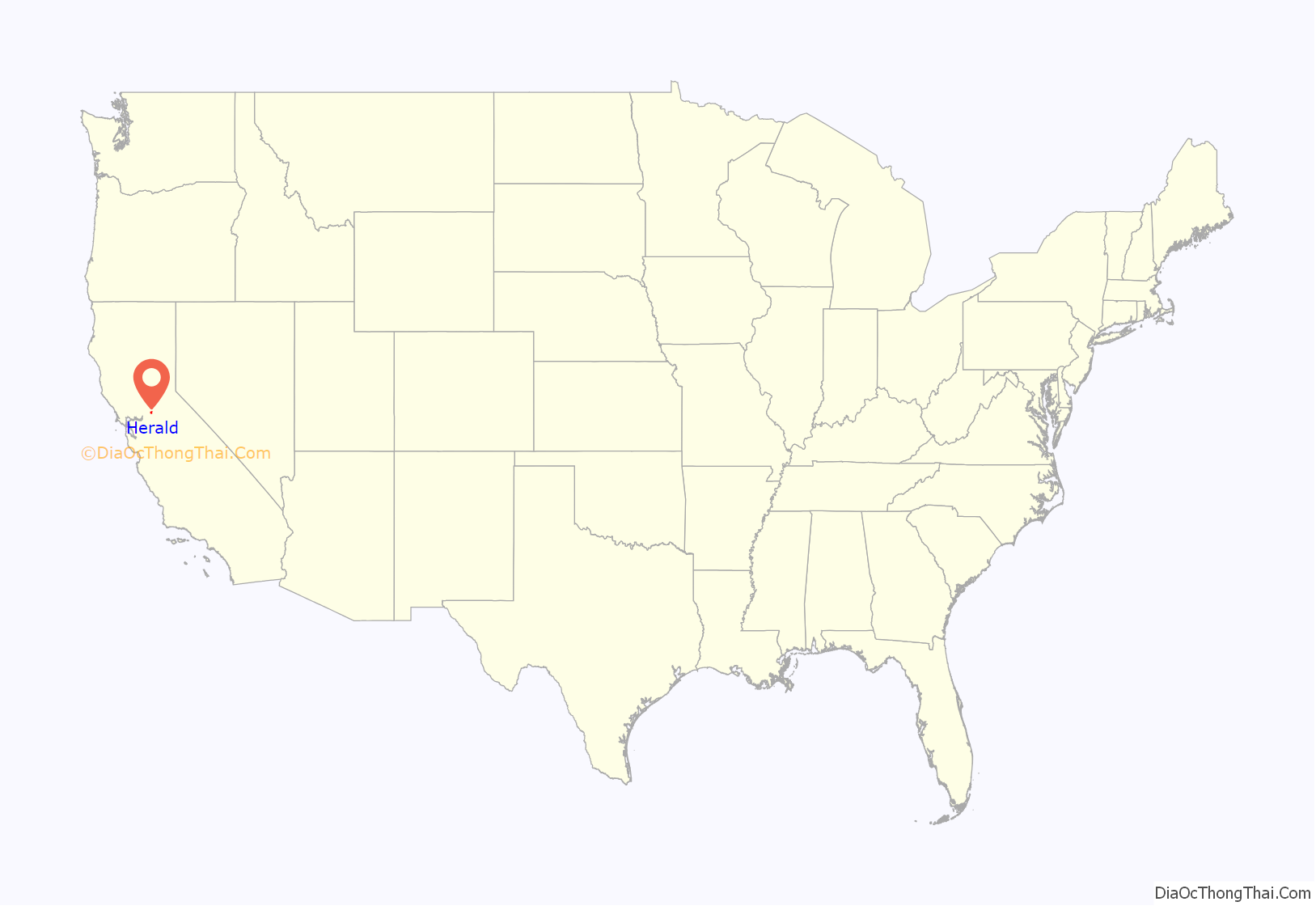
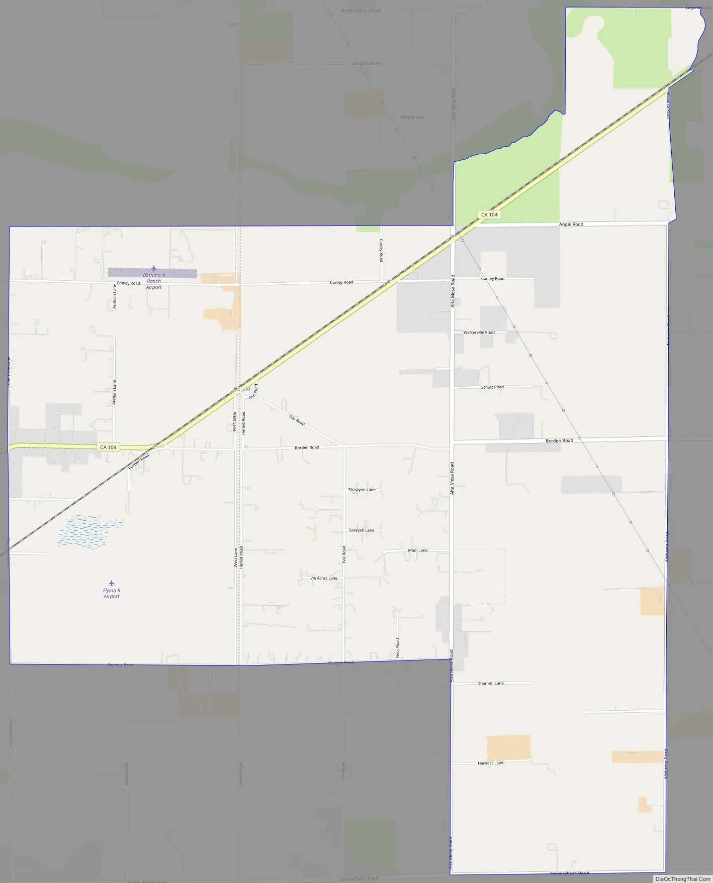
Herald is a census-designated place in Sacramento County, California. Herald sits at an elevation of 79 feet (24 m). It is located east of the city of Galt along State Route 104. The ZIP Code is 95638, and the community is inside area code 209. The 2010 United States census reported that Herald’s population was 1,184.
The now-decommissioned 918MW Rancho Seco Nuclear Generating Station was built in Herald; its site is now the location of the 1000MW gas-fired Cosumnes Power Plant and an 11 MW solar installation. The nuclear plant’s disused cooling towers remain standing, and are the largest buildings in California’s Central Valley. Nearby Rancho Seco Recreational Park features a lake originally created to serve as an emergency backup water supply for the plant.
| Name: | Herald CDP |
|---|---|
| LSAD Code: | 57 |
| LSAD Description: | CDP (suffix) |
| State: | California |
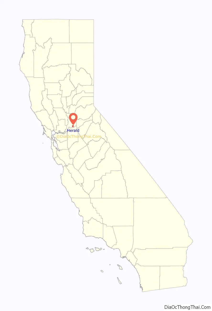
| County: | Sacramento County |
| Elevation: | 79 ft (24 m) |
| Total Area: | 7.901 sq mi (20.464 km²) |
| Land Area: | 7.879 sq mi (20.406 km²) |
| Water Area: | 0.022 sq mi (0.058 km²) 0.28% |
| Total Population: | 1,184 |
| Population Density: | 150/sq mi (58/km²) |
| ZIP code: | 95638 |
| Area code: | 209 |
| FIPS code: | 0633294 |
| GNISfeature ID: | 2583034 |
Online Interactive Map
Click on ![]() to view map in "full screen" mode.
to view map in "full screen" mode.
Herald location map. Where is Herald CDP?
Herald Road Map
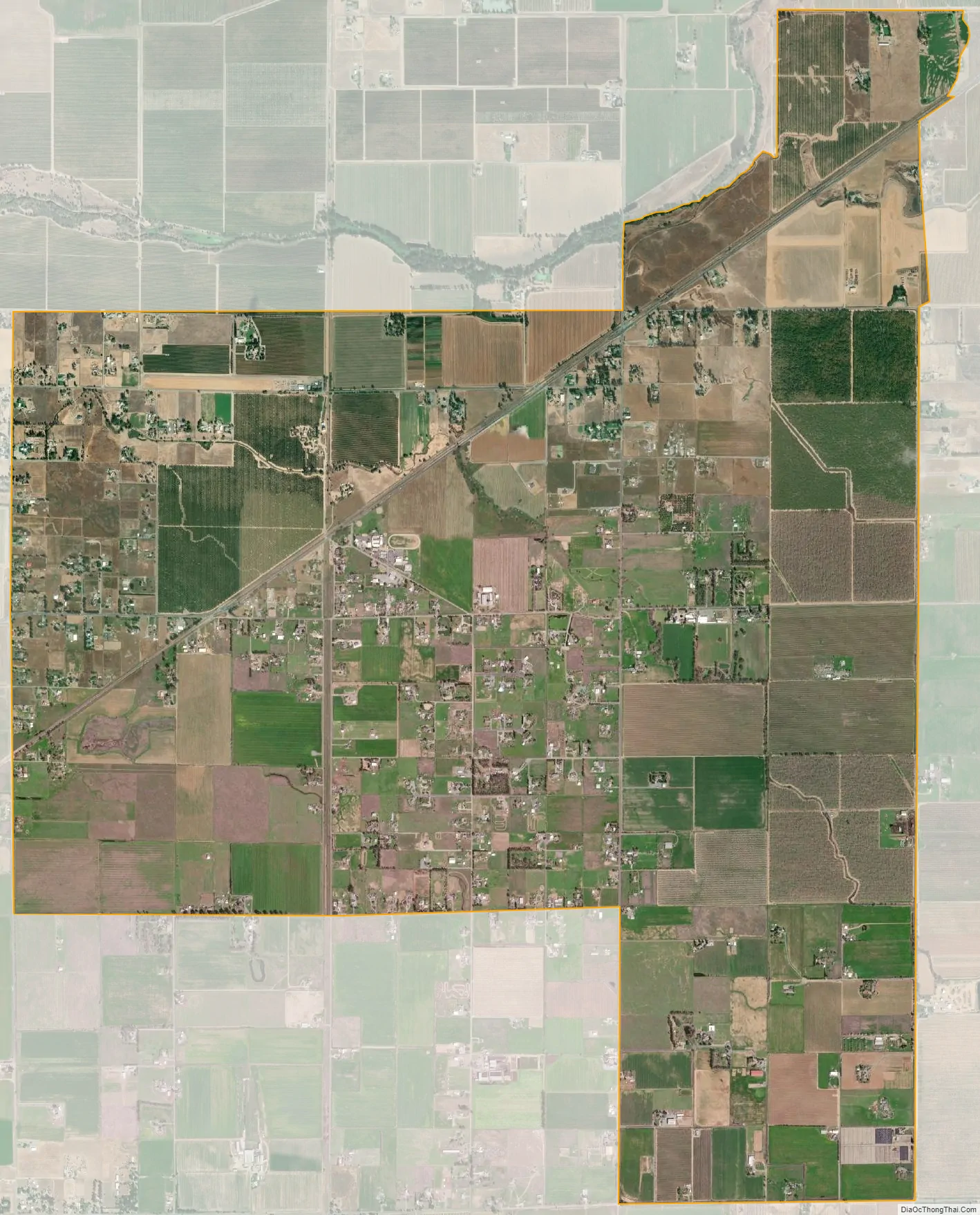
Herald city Satellite Map
Geography
According to the United States Census Bureau, the CDP covers an area of 7.9 square miles (20.5 km), 99.72% of it land and 0.28% of it water.
See also
Map of California State and its subdivision:- Alameda
- Alpine
- Amador
- Butte
- Calaveras
- Colusa
- Contra Costa
- Del Norte
- El Dorado
- Fresno
- Glenn
- Humboldt
- Imperial
- Inyo
- Kern
- Kings
- Lake
- Lassen
- Los Angeles
- Madera
- Marin
- Mariposa
- Mendocino
- Merced
- Modoc
- Mono
- Monterey
- Napa
- Nevada
- Orange
- Placer
- Plumas
- Riverside
- Sacramento
- San Benito
- San Bernardino
- San Diego
- San Francisco
- San Joaquin
- San Luis Obispo
- San Mateo
- Santa Barbara
- Santa Clara
- Santa Cruz
- Shasta
- Sierra
- Siskiyou
- Solano
- Sonoma
- Stanislaus
- Sutter
- Tehama
- Trinity
- Tulare
- Tuolumne
- Ventura
- Yolo
- Yuba
- Alabama
- Alaska
- Arizona
- Arkansas
- California
- Colorado
- Connecticut
- Delaware
- District of Columbia
- Florida
- Georgia
- Hawaii
- Idaho
- Illinois
- Indiana
- Iowa
- Kansas
- Kentucky
- Louisiana
- Maine
- Maryland
- Massachusetts
- Michigan
- Minnesota
- Mississippi
- Missouri
- Montana
- Nebraska
- Nevada
- New Hampshire
- New Jersey
- New Mexico
- New York
- North Carolina
- North Dakota
- Ohio
- Oklahoma
- Oregon
- Pennsylvania
- Rhode Island
- South Carolina
- South Dakota
- Tennessee
- Texas
- Utah
- Vermont
- Virginia
- Washington
- West Virginia
- Wisconsin
- Wyoming


