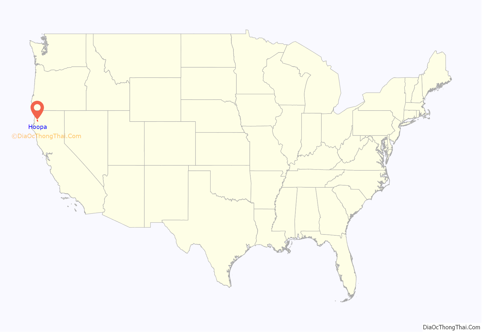
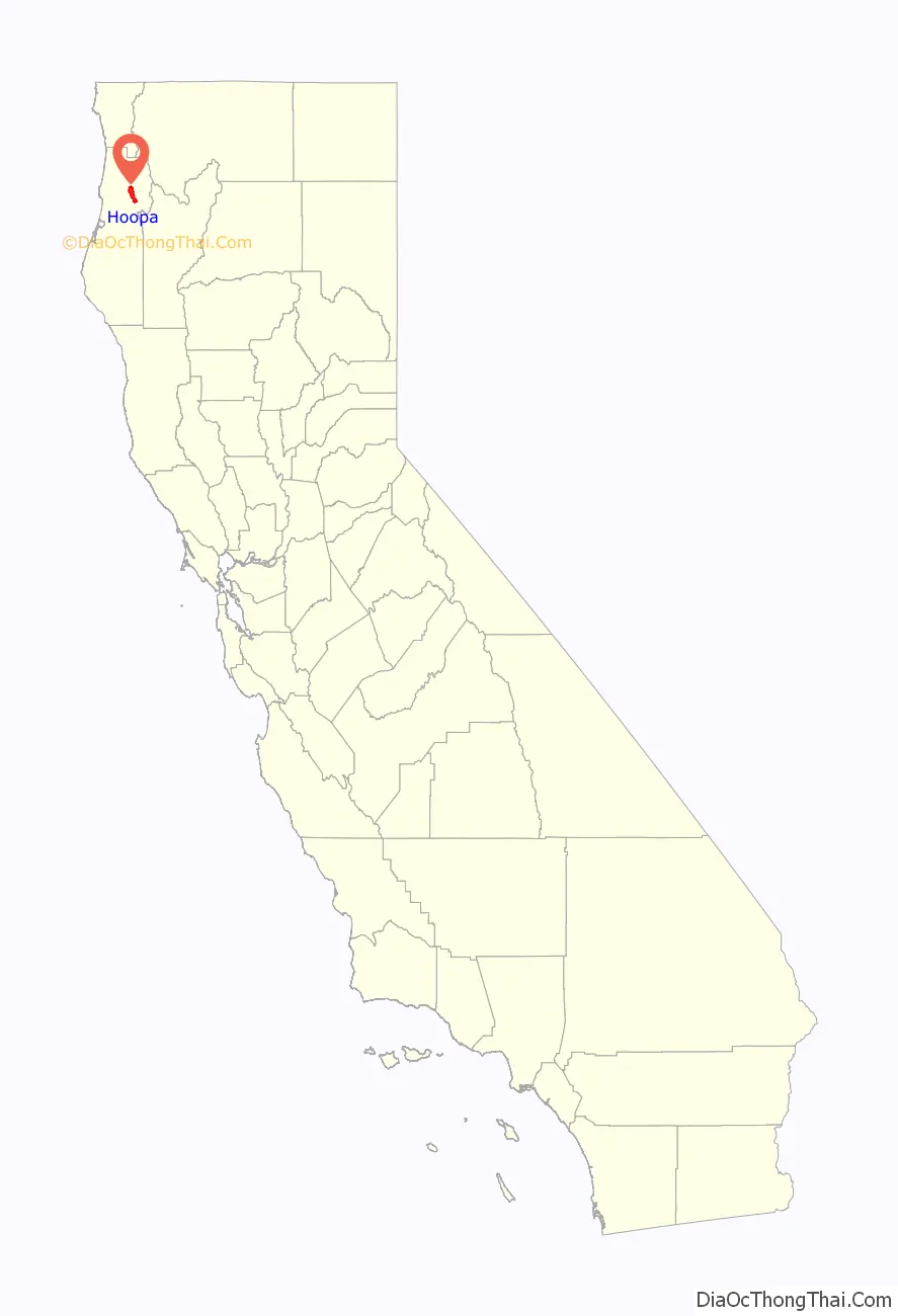
Hoopa (formerly Hupa, Ho-pah, Hoo-pah, Hupo, and Up-pa) is an unincorporated community and census-designated place (CDP) in Humboldt County, California. It is located 10 miles (16 km) south of Weitchpec, at an elevation of 328 feet (100 m). The ZIP Code is 95546.
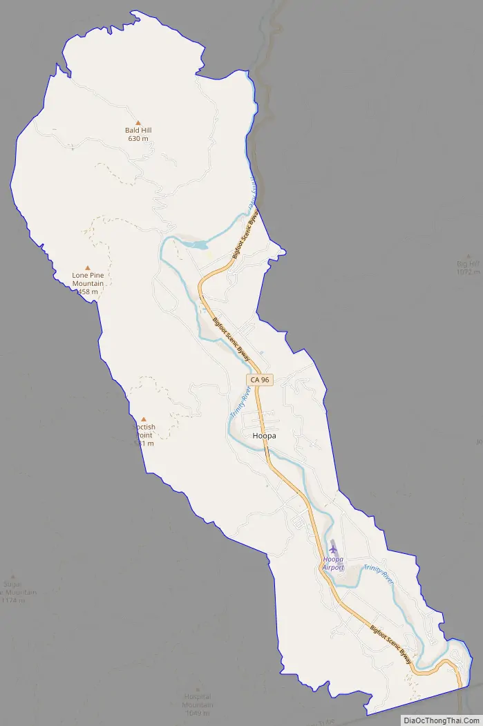
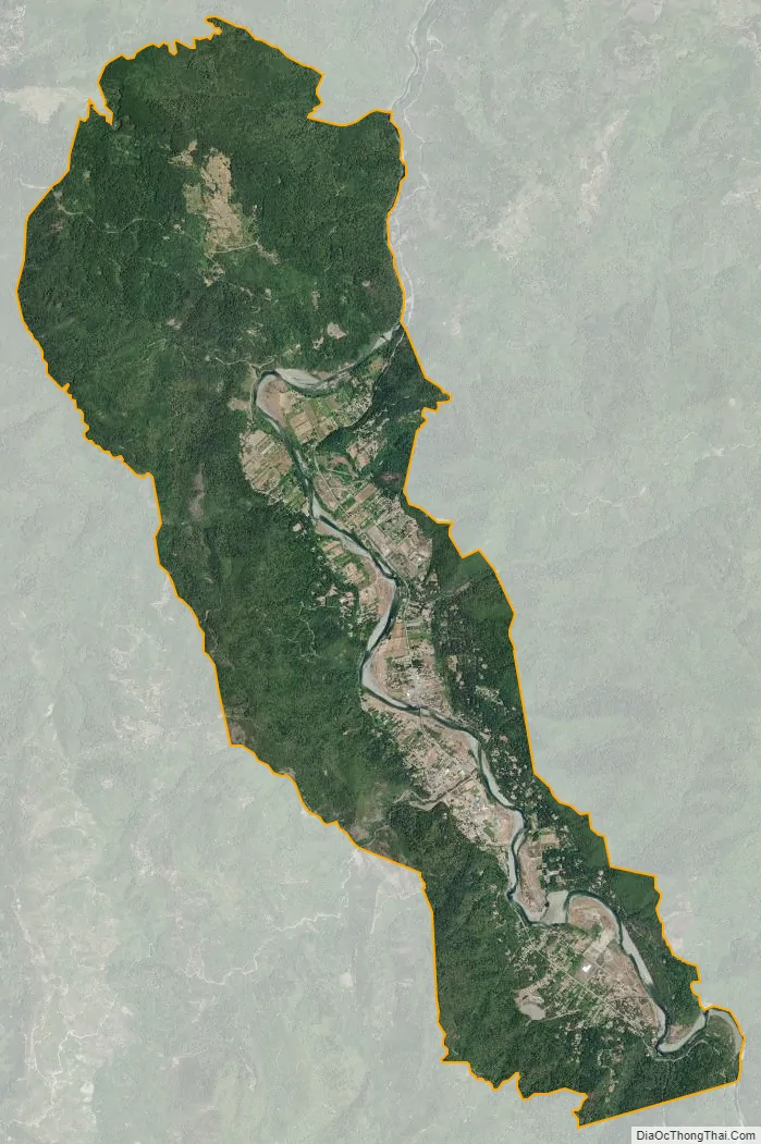
Hoopa is a rural town located entirely on the federally-designated reservation of the Hupa and serves as the administrative capital of the Hoopa Valley Indian Reservation. Hoopa is on the Trinity River. Hoopa is in area code 530.
The Hoopa Valley post office opened in 1861; the name was changed to Hoopa in 1895, to Hupa in 1900, and back to Hoopa in 1902.
| Name: | Hoopa CDP |
|---|---|
| LSAD Code: | 57 |
| LSAD Description: | CDP (suffix) |
| State: | California |
| County: | Humboldt County |
| Elevation: | 328 ft (100 m) |
| Total Area: | 3,167 |
| ZIP code: | 95546 |
| Area code: | 530 |
| FIPS code: | 0634540 |
| GNISfeature ID: | 2585654 |
Online Interactive Map
Click on ![]() to view map in "full screen" mode.
to view map in "full screen" mode.
Hoopa location map. Where is Hoopa CDP?
Hoopa Road Map
Hoopa city Satellite Map
See also
Map of California State and its subdivision:- Alameda
- Alpine
- Amador
- Butte
- Calaveras
- Colusa
- Contra Costa
- Del Norte
- El Dorado
- Fresno
- Glenn
- Humboldt
- Imperial
- Inyo
- Kern
- Kings
- Lake
- Lassen
- Los Angeles
- Madera
- Marin
- Mariposa
- Mendocino
- Merced
- Modoc
- Mono
- Monterey
- Napa
- Nevada
- Orange
- Placer
- Plumas
- Riverside
- Sacramento
- San Benito
- San Bernardino
- San Diego
- San Francisco
- San Joaquin
- San Luis Obispo
- San Mateo
- Santa Barbara
- Santa Clara
- Santa Cruz
- Shasta
- Sierra
- Siskiyou
- Solano
- Sonoma
- Stanislaus
- Sutter
- Tehama
- Trinity
- Tulare
- Tuolumne
- Ventura
- Yolo
- Yuba
- Alabama
- Alaska
- Arizona
- Arkansas
- California
- Colorado
- Connecticut
- Delaware
- District of Columbia
- Florida
- Georgia
- Hawaii
- Idaho
- Illinois
- Indiana
- Iowa
- Kansas
- Kentucky
- Louisiana
- Maine
- Maryland
- Massachusetts
- Michigan
- Minnesota
- Mississippi
- Missouri
- Montana
- Nebraska
- Nevada
- New Hampshire
- New Jersey
- New Mexico
- New York
- North Carolina
- North Dakota
- Ohio
- Oklahoma
- Oregon
- Pennsylvania
- Rhode Island
- South Carolina
- South Dakota
- Tennessee
- Texas
- Utah
- Vermont
- Virginia
- Washington
- West Virginia
- Wisconsin
- Wyoming


