Hyampom (Wintun: Xaayin-pom) is a census-designated place (CDP) in Trinity County, California, US.
Hyampom is at an elevation of 1,503 feet (458 m) in the Trinity Mountains. Its population is 241 as of the 2020 census, remaining the same from the 2010 census.
| Name: | Hyampom CDP |
|---|---|
| LSAD Code: | 57 |
| LSAD Description: | CDP (suffix) |
| State: | California |
| County: | Trinity County |
| Elevation: | 1,503 ft (458 m) |
| Total Area: | 20.273 sq mi (52.507 km²) |
| Land Area: | 20.273 sq mi (52.507 km²) |
| Water Area: | 0 sq mi (0 km²) 0% |
| Total Population: | 241 |
| Population Density: | 12/sq mi (4.6/km²) |
| ZIP code: | 96046 |
| Area code: | 530 |
| FIPS code: | 0636098 |
| GNISfeature ID: | 2583038 |
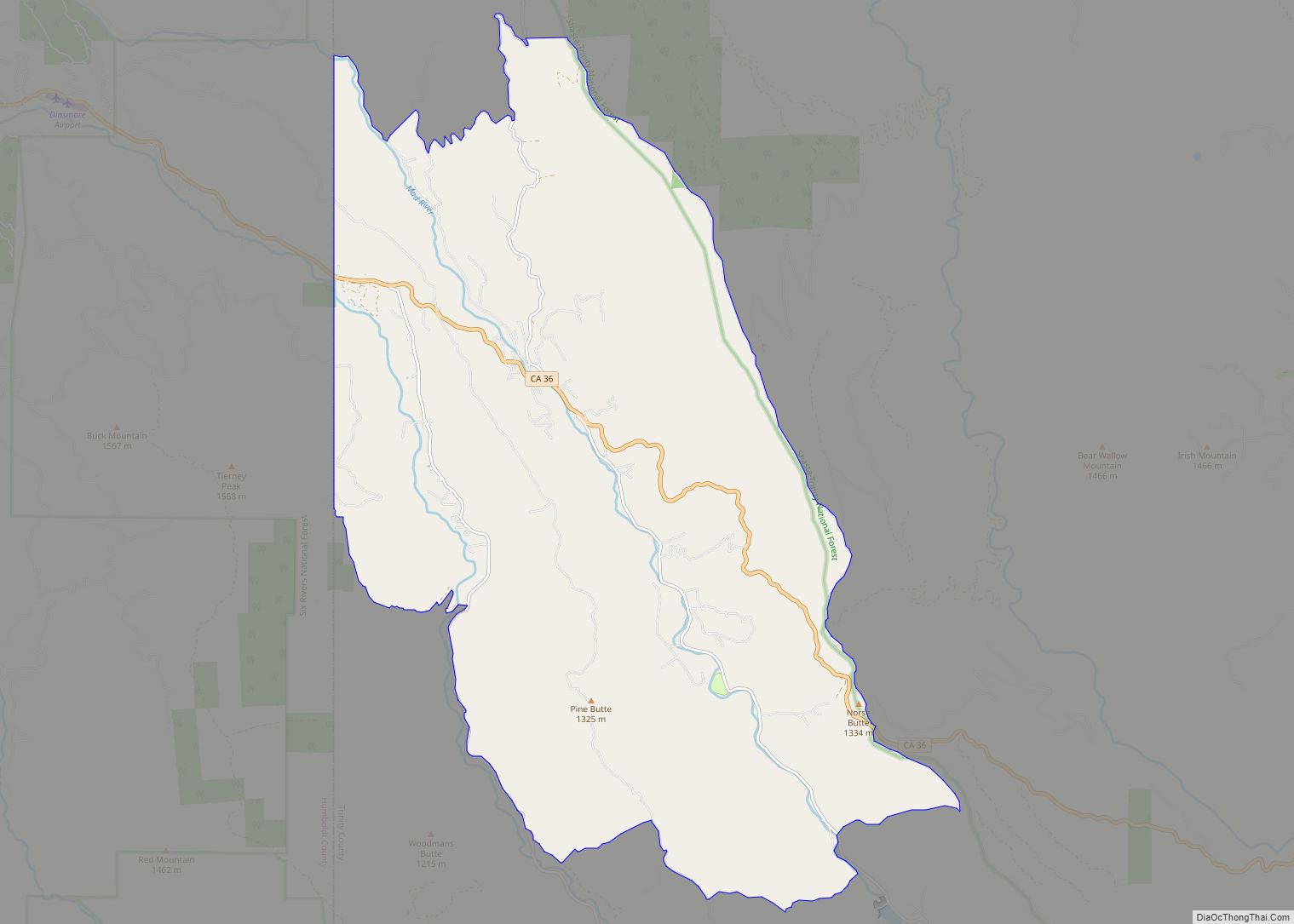
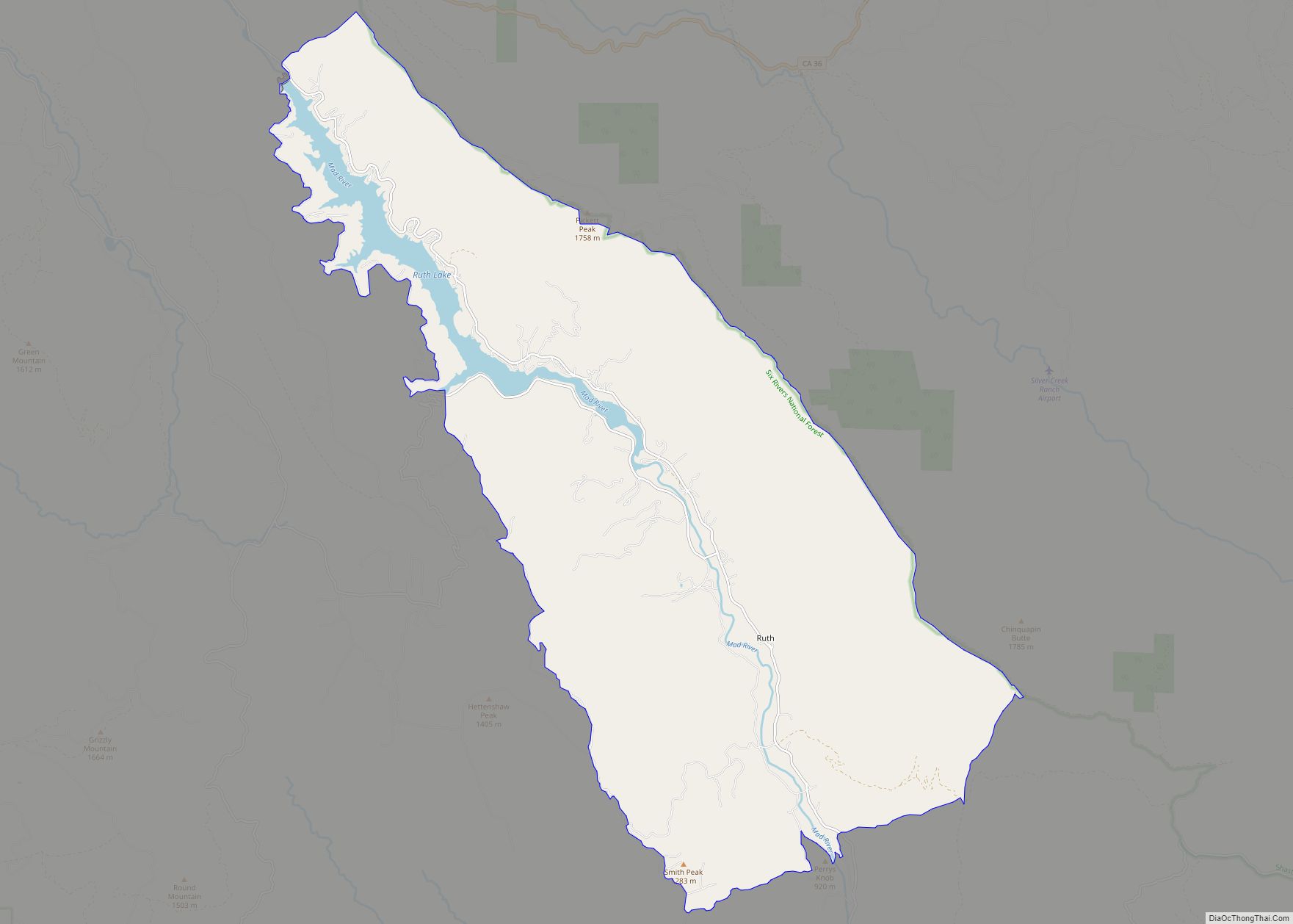
Online Interactive Map
Click on ![]() to view map in "full screen" mode.
to view map in "full screen" mode.
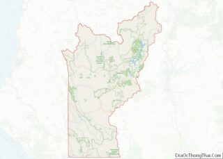
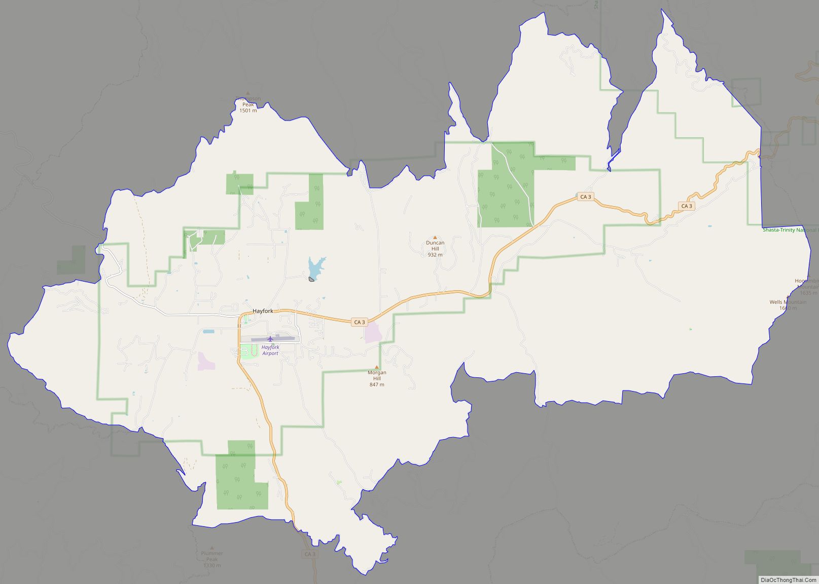
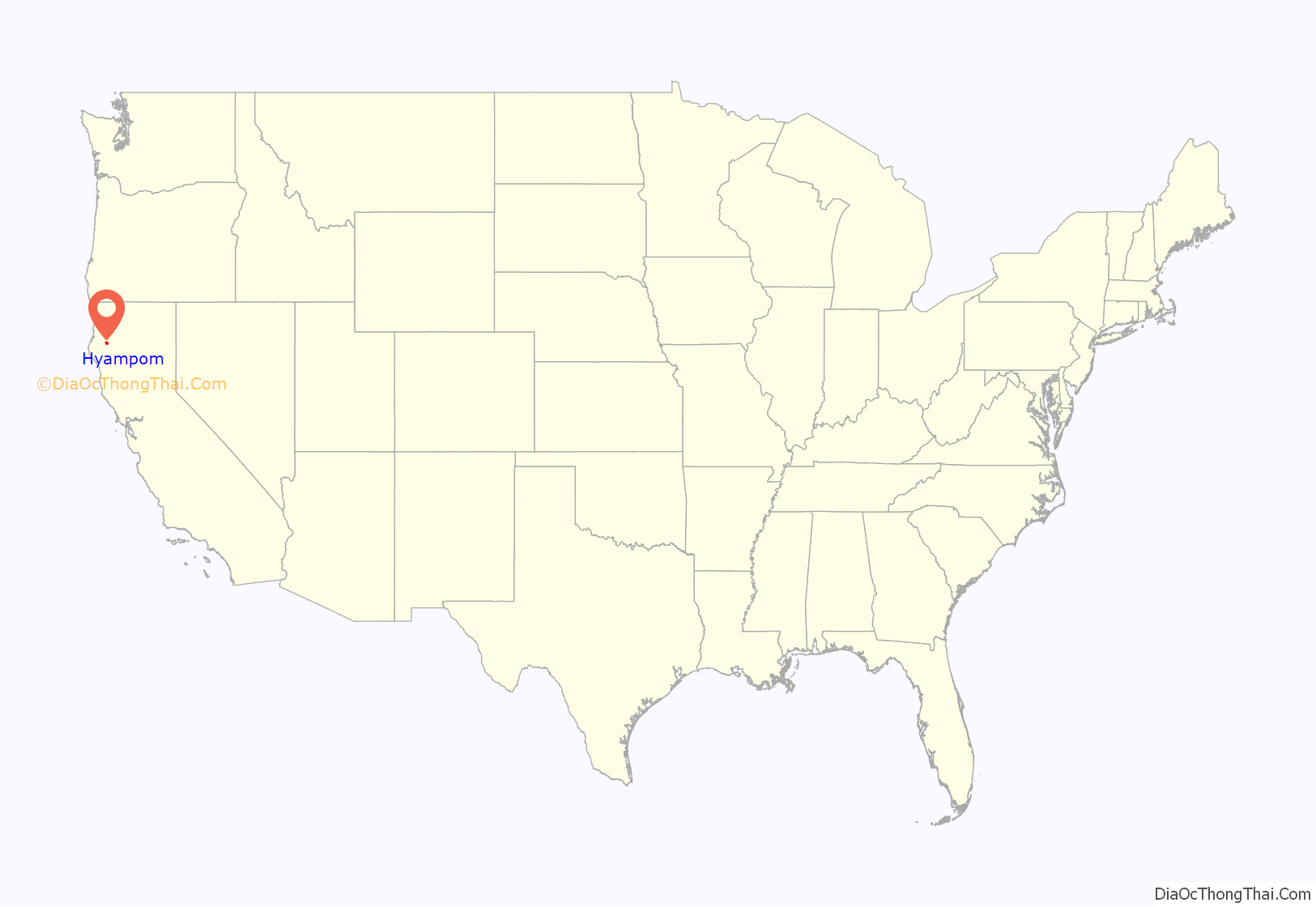
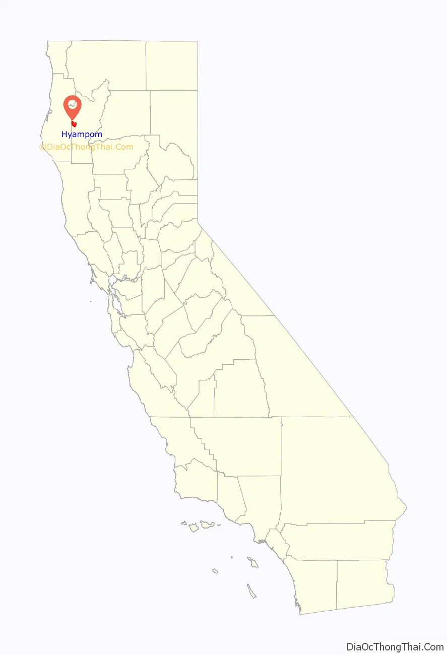
Hyampom location map. Where is Hyampom CDP?
History
The name “Hyampom” is said to have derived from a Wintu language term xaayin-pom, meaning “slippery place.” Hyampom was home to the Whilkut, Chimariko, and Northern Wintun Native American tribes. The explorer Jedediah Strong Smith visited Hyampom in April 1828. The first non-native settler in the area was Hank Young who moved to Hyampom on January 12, 1855.
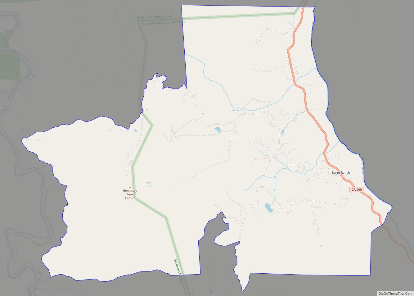
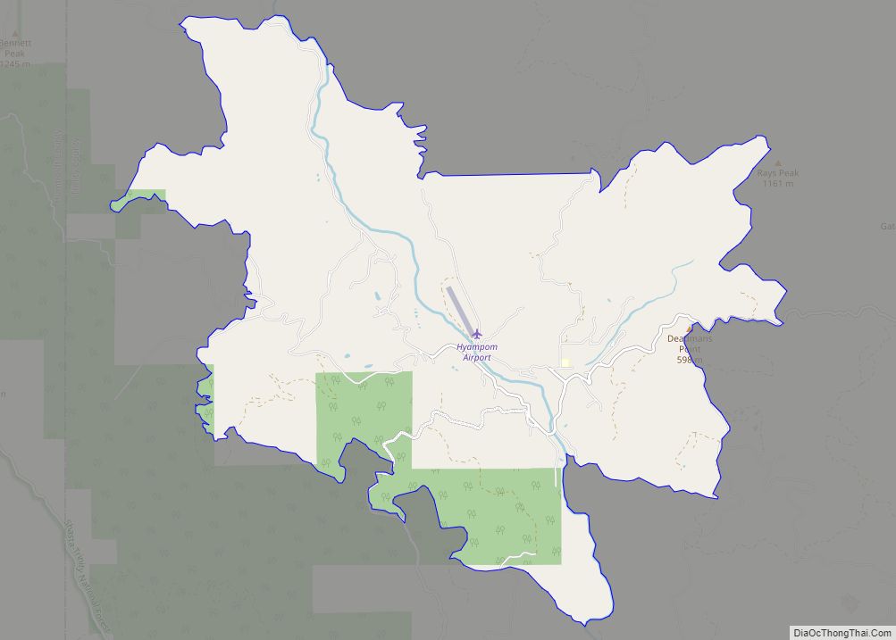
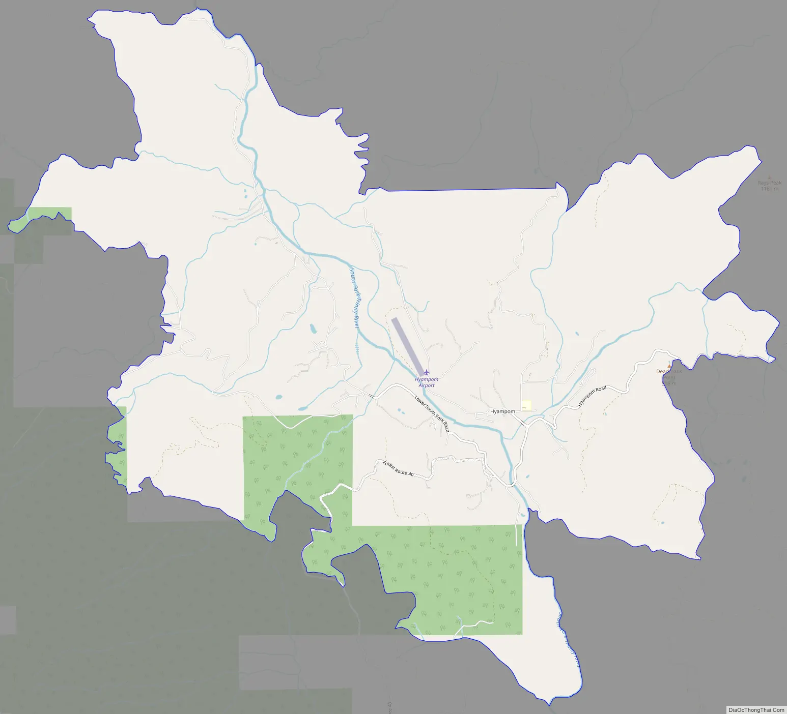
Hyampom Road Map
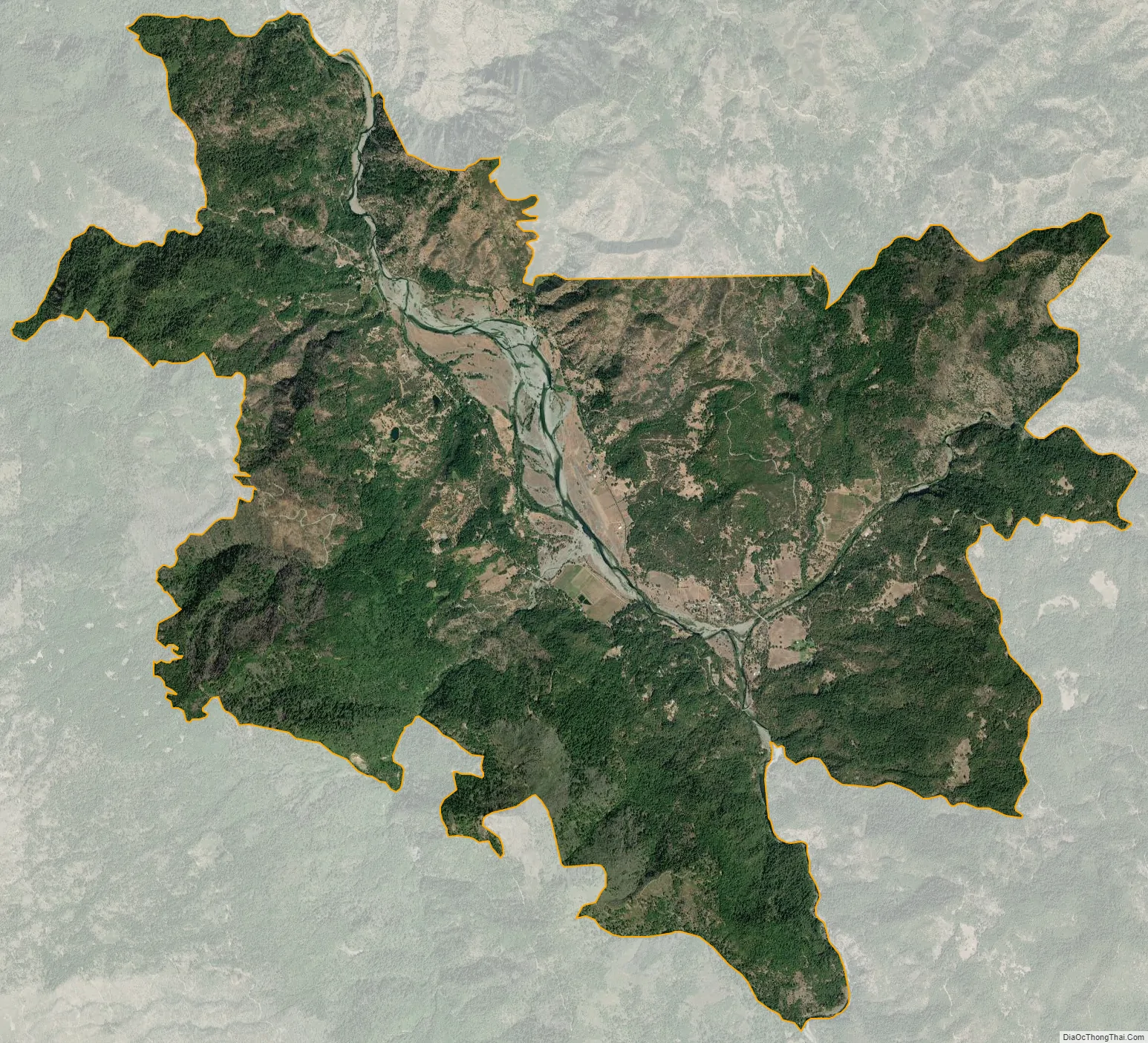
Hyampom city Satellite Map
Geography
There are many small beaches and swimming holes along the wild and scenic river. [1] The small valley in the Trinity mountains has a small landing strip, the South Fork Trinity River and Hayfork Creek. [2]
According to the United States Census Bureau, the CDP covers an area of 20.3 square miles (52.5 km), all of it land.
Climate
This region experiences warm and dry summers, with no average monthly temperatures above 71.6 °F. According to the Köppen Climate Classification system, Hyampom has a warm-summer Mediterranean climate, abbreviated “Csb” on climate maps. Despite the warm-summer classification, daily highs reach above 90 degrees Fahrenheit on almost all days in summer, but the marine influenced night temperatures are almost always below 60 degrees and most often around 50. There is snow in the winter, but the elevation is too low for significant snowfall. The nearest large town, Hayfork, which is 700 feet above Hyampom at 2200 feet, gets approximately 20 to 25 inches of snow per year, and the nearest comparable weather station, at Big Flat on the Trinity River, gets 6.7 inches per year. Precipitation totals around 40 to 45 inches a year.
See also
Map of California State and its subdivision:- Alameda
- Alpine
- Amador
- Butte
- Calaveras
- Colusa
- Contra Costa
- Del Norte
- El Dorado
- Fresno
- Glenn
- Humboldt
- Imperial
- Inyo
- Kern
- Kings
- Lake
- Lassen
- Los Angeles
- Madera
- Marin
- Mariposa
- Mendocino
- Merced
- Modoc
- Mono
- Monterey
- Napa
- Nevada
- Orange
- Placer
- Plumas
- Riverside
- Sacramento
- San Benito
- San Bernardino
- San Diego
- San Francisco
- San Joaquin
- San Luis Obispo
- San Mateo
- Santa Barbara
- Santa Clara
- Santa Cruz
- Shasta
- Sierra
- Siskiyou
- Solano
- Sonoma
- Stanislaus
- Sutter
- Tehama
- Trinity
- Tulare
- Tuolumne
- Ventura
- Yolo
- Yuba
- Alabama
- Alaska
- Arizona
- Arkansas
- California
- Colorado
- Connecticut
- Delaware
- District of Columbia
- Florida
- Georgia
- Hawaii
- Idaho
- Illinois
- Indiana
- Iowa
- Kansas
- Kentucky
- Louisiana
- Maine
- Maryland
- Massachusetts
- Michigan
- Minnesota
- Mississippi
- Missouri
- Montana
- Nebraska
- Nevada
- New Hampshire
- New Jersey
- New Mexico
- New York
- North Carolina
- North Dakota
- Ohio
- Oklahoma
- Oregon
- Pennsylvania
- Rhode Island
- South Carolina
- South Dakota
- Tennessee
- Texas
- Utah
- Vermont
- Virginia
- Washington
- West Virginia
- Wisconsin
- Wyoming