Imperial is a city in Imperial County, California, 4 miles (6.4 km) north of El Centro.
As of the 2010 census, the city had a population of 14,758. It is part of the El Centro metropolitan area. In 2016, Imperial was the fourth fastest-growing city in the state, gaining 4.1 percent more residents from January 1, 2015, to January 1, 2016. It compares to Imperial County’s growth of 1.3 percent and Brawley’s growth of 1.2 percent.
| Name: | Imperial city |
|---|---|
| LSAD Code: | 25 |
| LSAD Description: | city (suffix) |
| State: | California |
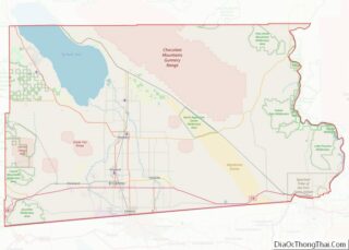
| County: | Imperial County |
| Incorporated: | July 12, 1904 |
| Elevation: | −59 ft (−18 m) |
| Land Area: | 6.29 sq mi (16.29 km²) |
| Water Area: | 0.00 sq mi (0.00 km²) 0% |
| Population Density: | 2,880.76/sq mi (1,112.18/km²) |
| ZIP code: | 92251 |
| Area code: | 442/760 |
| FIPS code: | 0636280 |
| Website: | www.cityofimperial.org |
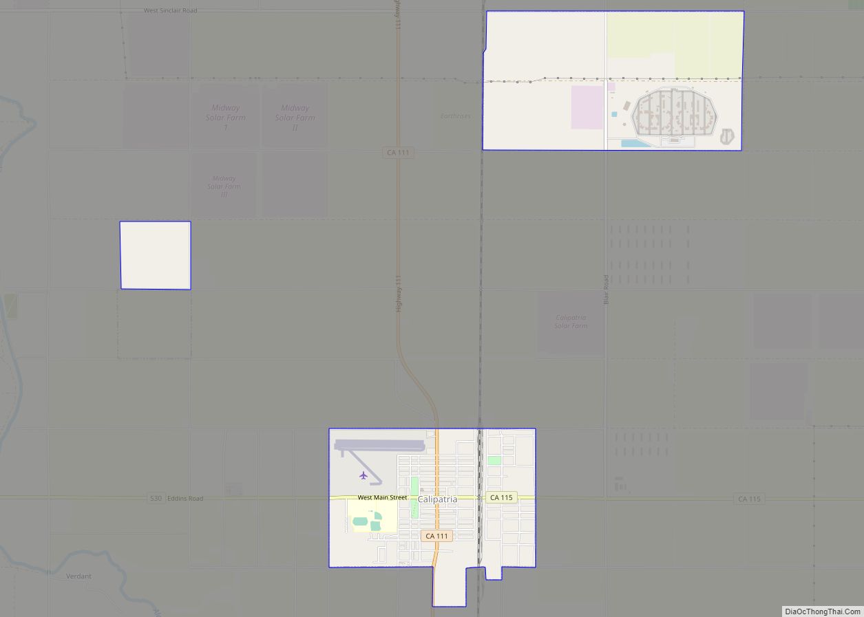
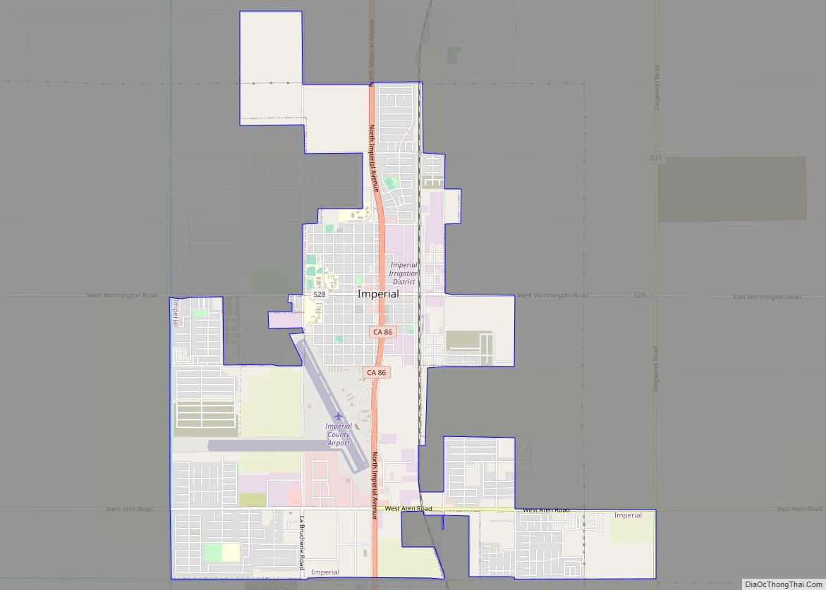
Online Interactive Map
Click on ![]() to view map in "full screen" mode.
to view map in "full screen" mode.
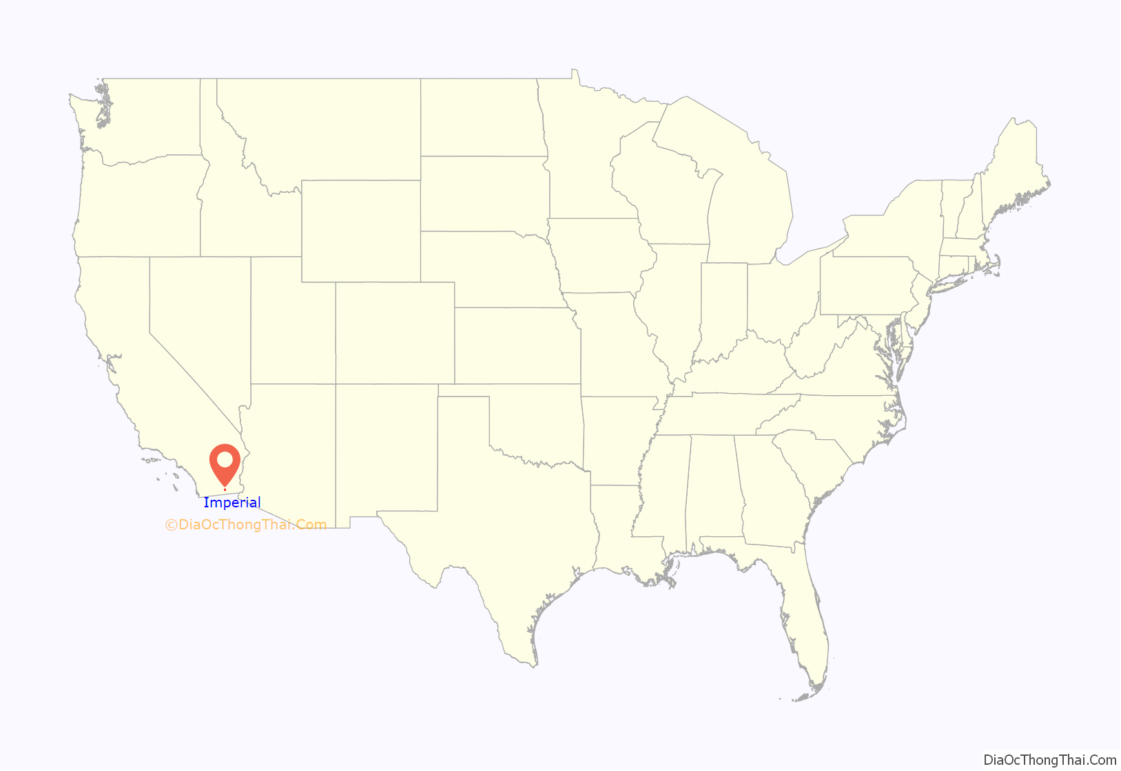
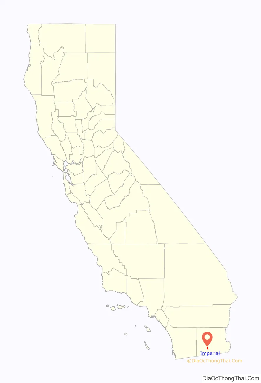
Imperial location map. Where is Imperial city?
History
Imperial was created by the Imperial Land Company and was named by George Chaffey. Imperial’s first post office opened in 1901. Imperial incorporated in 1904. The first mayor of Imperial was Allison Peck.
The town-site of Imperial was plotted in 1902 for home and commercial businesses. Its first buildings included a printing press, drug store, grocery store, brick building, and church. The city can also boast of having the first school in the valley and the first Chamber of Commerce.
The City of Imperial was incorporated July 12, 1904 thus being the first city in the valley to incorporate. The city was originally thought to become the county seat, but lost out to the City of El Centro in 1907.
Imperial through the years became the location for the home of the Imperial Irrigation District, the California Mid-Winter Fair and the Imperial County airport. Also several businesses were established in the city. Imperial was devastated by earthquakes in 1916 and 1940. An earthquake in 1979 destroyed many of the old buildings in the downtown business area, including City Hall. Re-building of the business district was slow for many years.
June 2014 a McDonnell Douglas AV-8B Harrier II from Marine Corps Air Station Yuma crashed in a residential area. The pilot ejected safely, and no residents were injured.
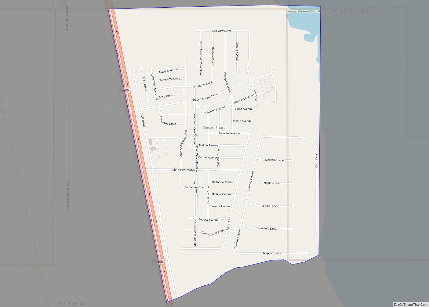
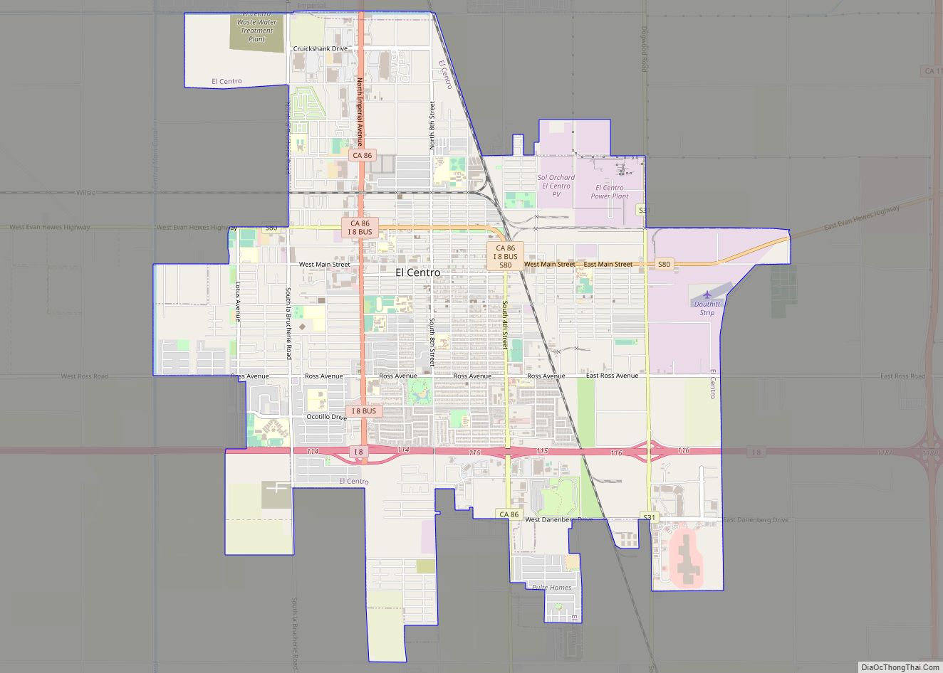
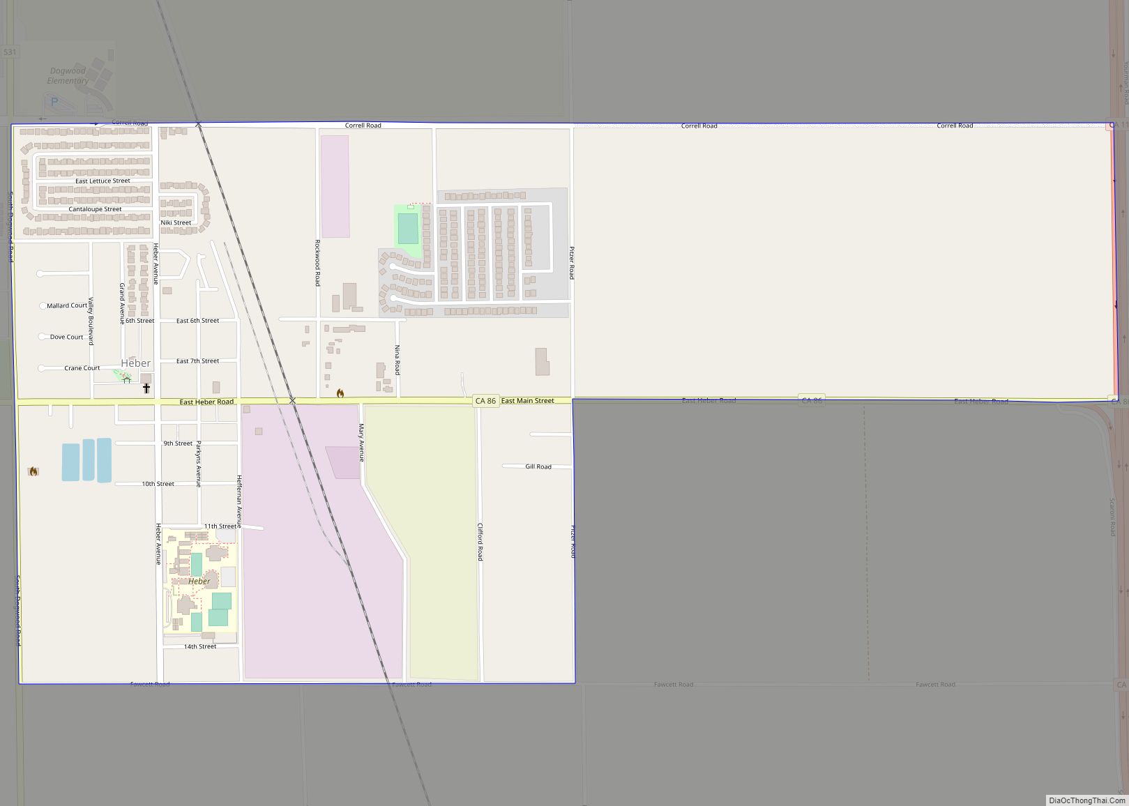
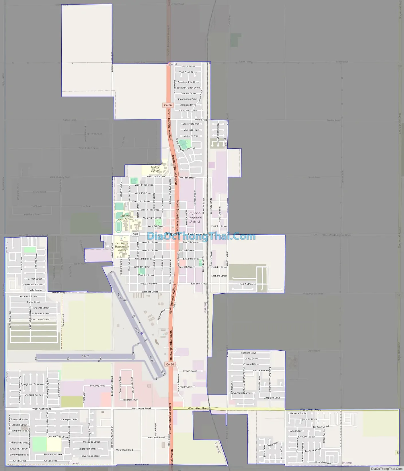
Imperial Road Map
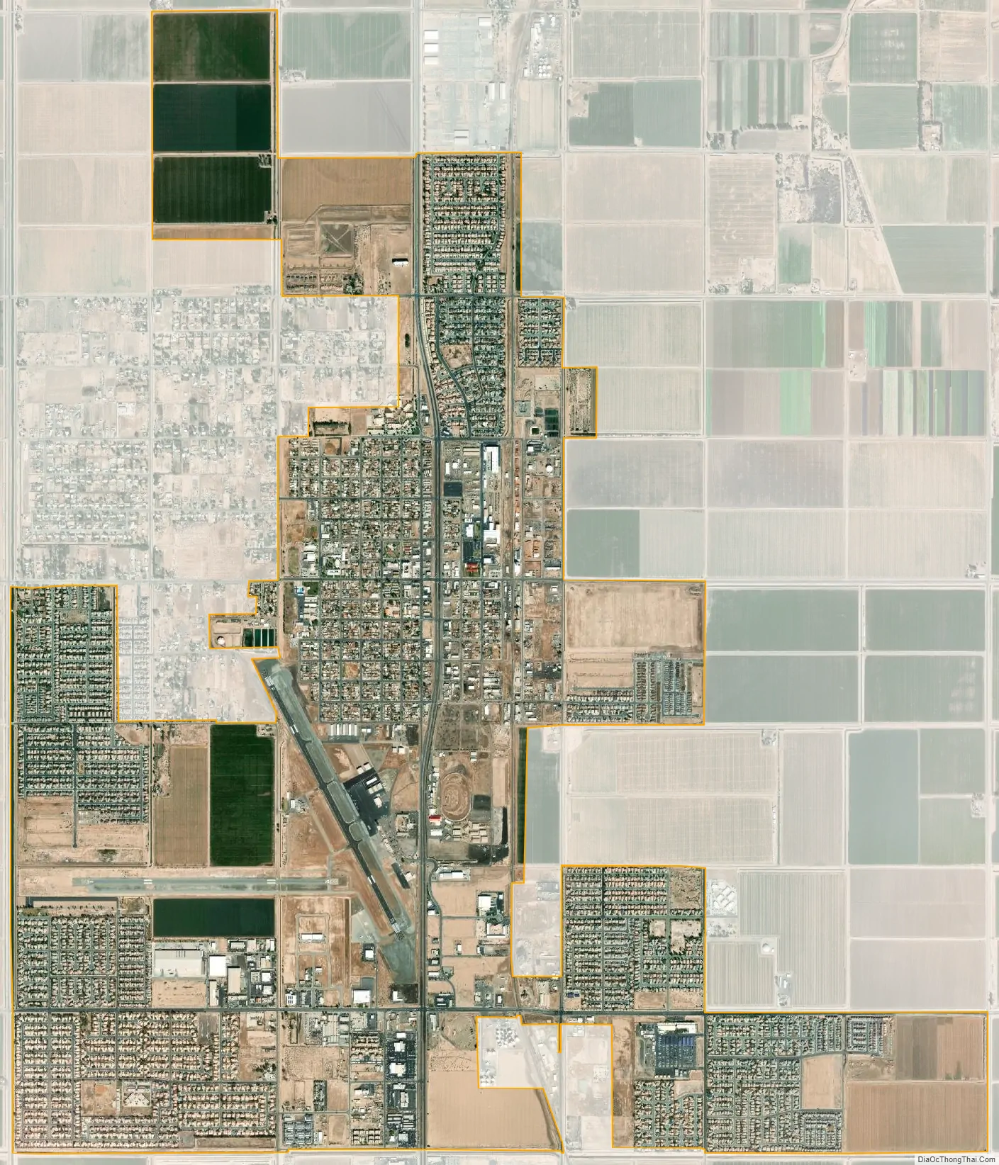
Imperial city Satellite Map
Geography
According to the United States Census Bureau, the city has a total area of 5.9 square miles (15 km), all land. Imperial is located in the Imperial Valley (considered locally as synonymous with Imperial County). The city is 59.5 feet (18.14 m) below sea level. The Imperial Valley is in the Colorado Desert, an extension of the larger Sonoran Desert.
The agriculture industry’s demand for water is supplied by canals diverting water from the nearby Colorado River. The Salton Sea was created after a 1905 flood from the Colorado River.
In this region, the geology is dominated by the transition of the tectonic plate boundary from rift to transverse fault. The southernmost strands of the San Andreas Fault connect the northernmost extensions of the East Pacific Rise. Consequently, the region is subject to earthquakes, and the crust is being stretched, resulting in a sinking of the terrain over time.
Climate
Imperial has a hot desert climate, featuring long, extremely hot summers and mild winters. Imperial averages just about 3 inches of rain annually, with December being the wettest month. The North American Monsoon typically increases the humidity from July through September. At times, the climate can resemble that of tropical areas in the Caribbean. This leads to daily thunderstorms that can bring hail, downpours, lightning, and dust storms more commonly known as Haboob. During the eastern Pacific hurricane season, hurricanes occasionally track up the Baja California Peninsula and bring remnants of Tropical Storms through the desert that can result in flash flooding and heavy widespread thunderstorms. This can lead to significantly higher than normal precipitation, at times bringing heavy rain in short periods of time. The precipitation in the winter months is predominantly rain showers from the occasional winter storms. At times these storms bring cold temperatures to Imperial and surrounding cities, and mountain snowfall to the nearby mountains. Snow is almost totally unknown in the city, except for trace amount on December 12, 1932, and a very brief fall of sleet mixed with hail during a shower in December 1967. On average there are 3.7 days per year that drop below freezing. In the coldest month, December, the normal high temperature is 67.5 degrees with a low of 42.3. In the warmest month, August, the normal high temperature is 104.5 degrees with a low of 78.4.
See also
Map of California State and its subdivision:- Alameda
- Alpine
- Amador
- Butte
- Calaveras
- Colusa
- Contra Costa
- Del Norte
- El Dorado
- Fresno
- Glenn
- Humboldt
- Imperial
- Inyo
- Kern
- Kings
- Lake
- Lassen
- Los Angeles
- Madera
- Marin
- Mariposa
- Mendocino
- Merced
- Modoc
- Mono
- Monterey
- Napa
- Nevada
- Orange
- Placer
- Plumas
- Riverside
- Sacramento
- San Benito
- San Bernardino
- San Diego
- San Francisco
- San Joaquin
- San Luis Obispo
- San Mateo
- Santa Barbara
- Santa Clara
- Santa Cruz
- Shasta
- Sierra
- Siskiyou
- Solano
- Sonoma
- Stanislaus
- Sutter
- Tehama
- Trinity
- Tulare
- Tuolumne
- Ventura
- Yolo
- Yuba
- Alabama
- Alaska
- Arizona
- Arkansas
- California
- Colorado
- Connecticut
- Delaware
- District of Columbia
- Florida
- Georgia
- Hawaii
- Idaho
- Illinois
- Indiana
- Iowa
- Kansas
- Kentucky
- Louisiana
- Maine
- Maryland
- Massachusetts
- Michigan
- Minnesota
- Mississippi
- Missouri
- Montana
- Nebraska
- Nevada
- New Hampshire
- New Jersey
- New Mexico
- New York
- North Carolina
- North Dakota
- Ohio
- Oklahoma
- Oregon
- Pennsylvania
- Rhode Island
- South Carolina
- South Dakota
- Tennessee
- Texas
- Utah
- Vermont
- Virginia
- Washington
- West Virginia
- Wisconsin
- Wyoming