Imperial Beach is a residential beach city in San Diego County, California, with a population of 26,137 at the 2020 United States census, down from 26,324 at the 2010 census. The city is the southernmost city in California and the West Coast of the United States. It is in the South Bay area of San Diego County, 14.1 miles (22.7 km) south of downtown San Diego and 5 miles (8 km) northwest of downtown Tijuana, Mexico.
| Name: | Imperial Beach city |
|---|---|
| LSAD Code: | 25 |
| LSAD Description: | city (suffix) |
| State: | California |
| County: | San Diego County |
| Founded: | June 1, 1887 |
| Incorporated: | July 18, 1956 |
| Elevation: | 20 ft (6 m) |
| Land Area: | 4.30 sq mi (11.14 km²) |
| Water Area: | 0.12 sq mi (0.30 km²) 7.22% |
| Population Density: | 5,900/sq mi (2,300/km²) |
| ZIP code: | 91932 |
| Area code: | 619 |
| FIPS code: | 0636294 |
| Website: | www.imperialbeachca.gov |
Online Interactive Map
Click on ![]() to view map in "full screen" mode.
to view map in "full screen" mode.
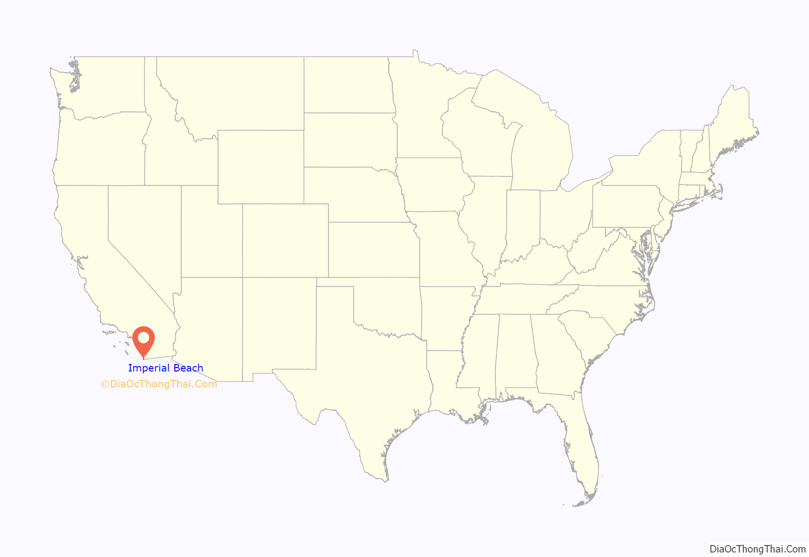
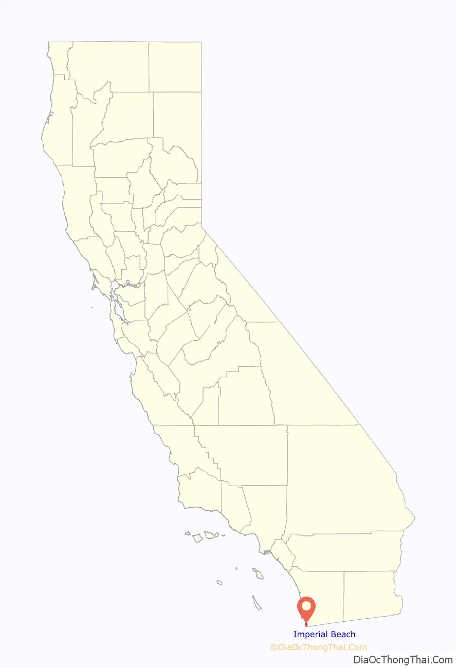
Imperial Beach location map. Where is Imperial Beach city?
History
Imperial Beach sits on the traditional territory of the Kumeyaay people, who had established the village of Alyshuwii. Founded in June 1887, the city takes its name from Imperial County, California, a desert climate 100 miles (161 km) east. Farmers and land owners from the Imperial Valley came to the area in the late 1880s seeking cooler weather during summer months. In March 1887, over 2,000 laborers descended upon nearby Coronado, California to construct the Hotel del Coronado, the largest resort in the world at the time. A large number of the workers stayed in Imperial Beach and some would later make it their permanent homestead. The city would incorporate in 1956, operating its own Mayor-council government providing city fire department service and policing by the formation of its own police department but eventually, years later, through the contracting of services through the San Diego County Sheriff’s Office.
Imperial Beach has undergone a significant makeover in the last ten years to become more visitor-friendly and commercially viable. In 2004, the City of Imperial Beach began implementing a community redevelopment plan to improve the commercial corridor along Palm Avenue and Seacoast Drive. However, aside from a few smaller hotels, Imperial Beach remains a highly residential city with little hotel or motel accommodation for visitors. Future plans for the city allow for construction of additional hotels along the beach areas of Seacoast Drive. On September, 13, 2010, after many years of planning, demolition officially began on the old Seacoast Inn located off Seacoast Drive. Construction of the new 22 million dollar hotel, now renamed Pier South Resort, a 78-room, four-story, upscale Mediterranean-style resort with restaurant, spa and conference facilities, was completed in December, 2013.
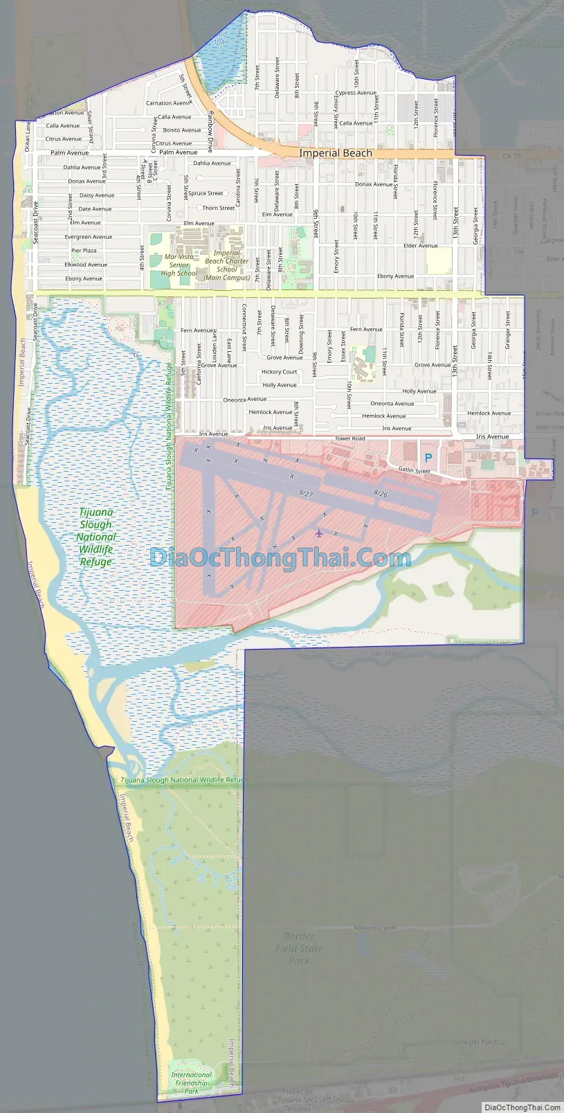
Imperial Beach Road Map
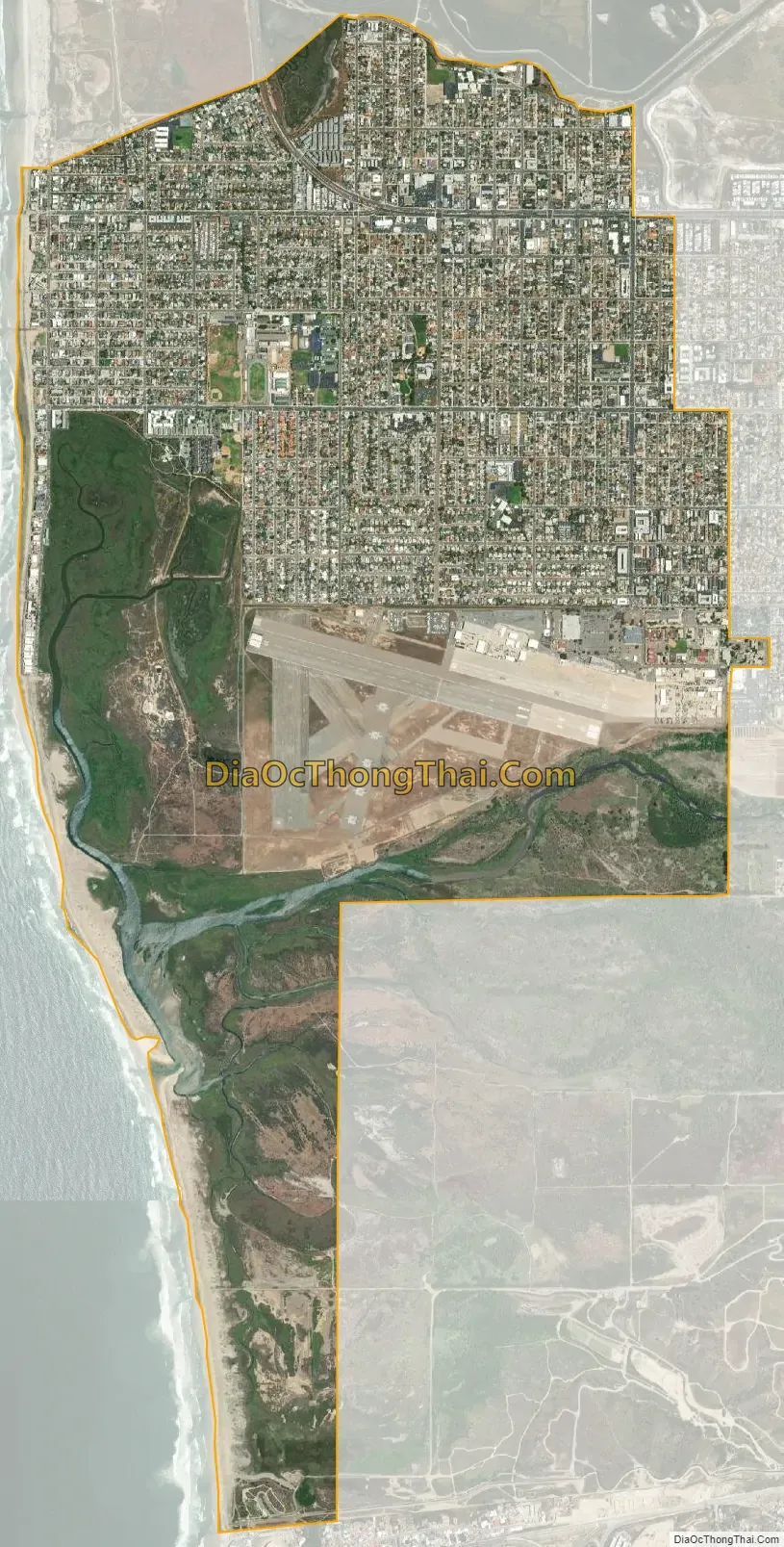
Imperial Beach city Satellite Map
Geography
Imperial Beach is located at 32°34′42″N 117°7′2″W / 32.57833°N 117.11722°W / 32.57833; -117.11722 (32.578255, -117.117111) making it the most southwesterly city in the continental United States. According to the United States Census Bureau, the city has a total area of 4.5 square miles (12 km). 4.2 square miles (11 km) of it is land and 0.3 square miles (0.78 km) of it (7.22%) is water. The city occupies the extreme southwest corner of the continental United States: bordered by Playas de Tijuana, Tijuana, Mexico to the south, Coronado, California and the San Diego Bay to the north, San Diego to the east, and the Pacific Ocean to the west.
Imperial Beach is located in San Diego County, the fifth most-populous county in the United States and part of the San Diego Metropolitan Area, the 17th largest metropolitan area in the United States with over 3 million people. It is also part of the San Diego – Tijuana metropolitan area, the largest bi-national metropolitan area shared between the United States and Mexico with over 5 million people.
See also
Map of California State and its subdivision:- Alameda
- Alpine
- Amador
- Butte
- Calaveras
- Colusa
- Contra Costa
- Del Norte
- El Dorado
- Fresno
- Glenn
- Humboldt
- Imperial
- Inyo
- Kern
- Kings
- Lake
- Lassen
- Los Angeles
- Madera
- Marin
- Mariposa
- Mendocino
- Merced
- Modoc
- Mono
- Monterey
- Napa
- Nevada
- Orange
- Placer
- Plumas
- Riverside
- Sacramento
- San Benito
- San Bernardino
- San Diego
- San Francisco
- San Joaquin
- San Luis Obispo
- San Mateo
- Santa Barbara
- Santa Clara
- Santa Cruz
- Shasta
- Sierra
- Siskiyou
- Solano
- Sonoma
- Stanislaus
- Sutter
- Tehama
- Trinity
- Tulare
- Tuolumne
- Ventura
- Yolo
- Yuba
- Alabama
- Alaska
- Arizona
- Arkansas
- California
- Colorado
- Connecticut
- Delaware
- District of Columbia
- Florida
- Georgia
- Hawaii
- Idaho
- Illinois
- Indiana
- Iowa
- Kansas
- Kentucky
- Louisiana
- Maine
- Maryland
- Massachusetts
- Michigan
- Minnesota
- Mississippi
- Missouri
- Montana
- Nebraska
- Nevada
- New Hampshire
- New Jersey
- New Mexico
- New York
- North Carolina
- North Dakota
- Ohio
- Oklahoma
- Oregon
- Pennsylvania
- Rhode Island
- South Carolina
- South Dakota
- Tennessee
- Texas
- Utah
- Vermont
- Virginia
- Washington
- West Virginia
- Wisconsin
- Wyoming


