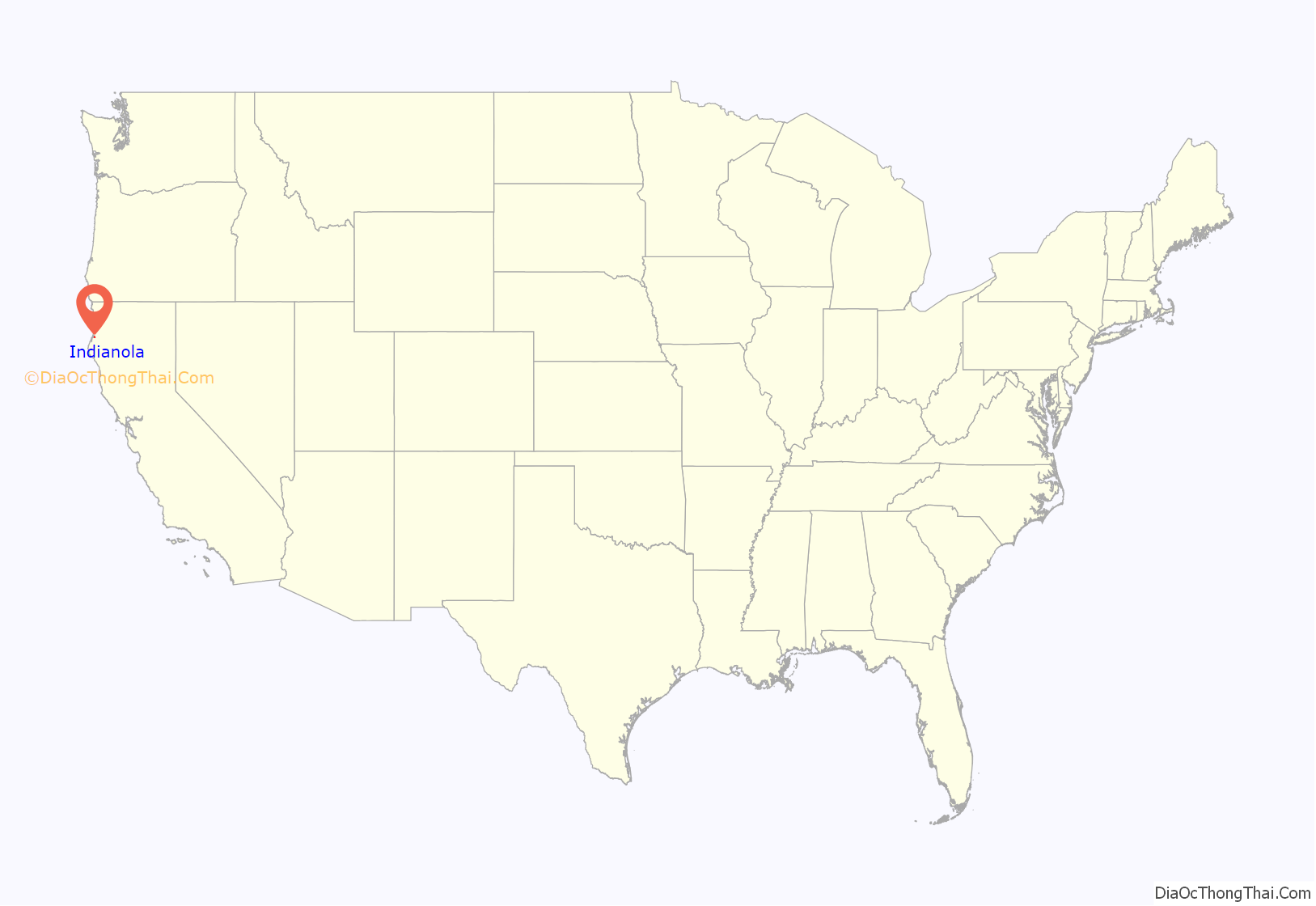
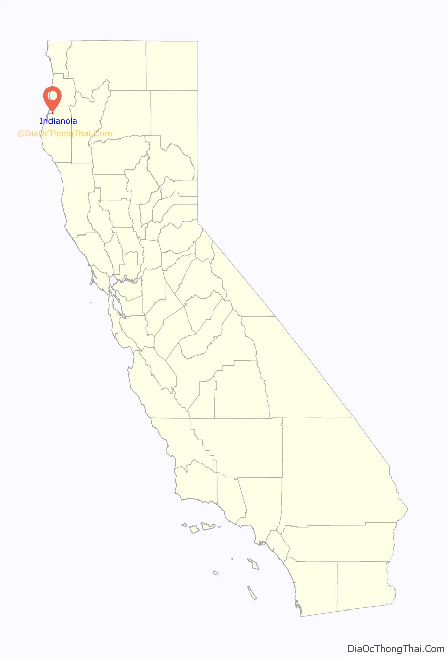
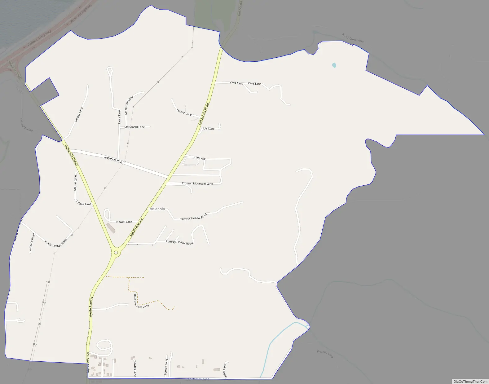
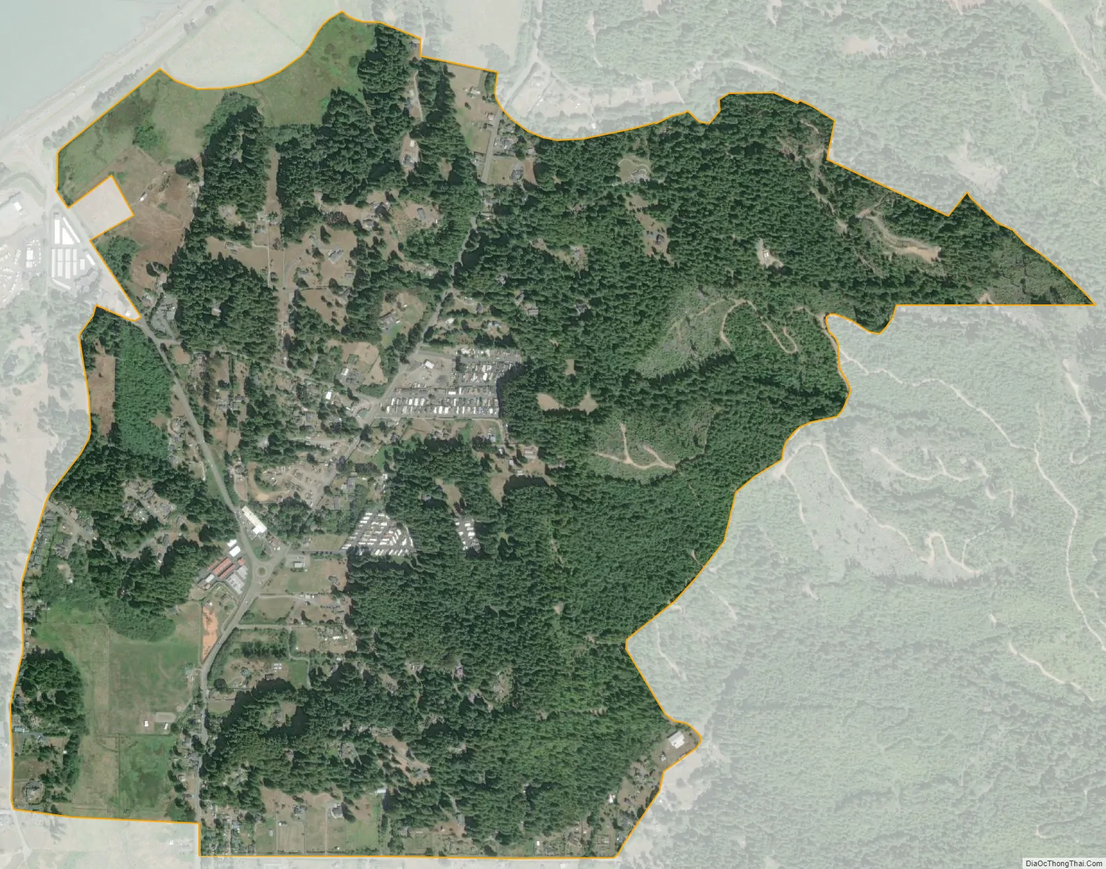
Indianola is a census-designated place in Humboldt County, California. It is located 4 miles (6.4 km) south of Arcata, at an elevation of 46 feet (14 m). The place appears on the USGS Arcata South map. Addresses in this neighborhood are part of unincorporated Eureka, California, located entirely within the 95503 ZIP code. The population was 823 at the 2010 census.
An Indian settlement was located under the bluff which was a supply center which sold bay fish, clams, and crabs.
A post office operated at Indianola from 1900 to 1915.
| Name: | Indianola CDP |
|---|---|
| LSAD Code: | 57 |
| LSAD Description: | CDP (suffix) |
| State: | California |
| County: | Humboldt County |
| Elevation: | 46 ft (14 m) |
| Total Area: | 1.416 sq mi (3.668 km²) |
| Land Area: | 1.416 sq mi (3.668 km²) |
| Water Area: | 0 sq mi (0 km²) 0% |
| Total Population: | 791 |
| Population Density: | 560/sq mi (220/km²) |
| ZIP code: | 95503 |
| Area code: | 707 |
| FIPS code: | 0636420 |
Online Interactive Map
Click on ![]() to view map in "full screen" mode.
to view map in "full screen" mode.
Indianola location map. Where is Indianola CDP?
Indianola Road Map
Indianola city Satellite Map
See also
Map of California State and its subdivision:- Alameda
- Alpine
- Amador
- Butte
- Calaveras
- Colusa
- Contra Costa
- Del Norte
- El Dorado
- Fresno
- Glenn
- Humboldt
- Imperial
- Inyo
- Kern
- Kings
- Lake
- Lassen
- Los Angeles
- Madera
- Marin
- Mariposa
- Mendocino
- Merced
- Modoc
- Mono
- Monterey
- Napa
- Nevada
- Orange
- Placer
- Plumas
- Riverside
- Sacramento
- San Benito
- San Bernardino
- San Diego
- San Francisco
- San Joaquin
- San Luis Obispo
- San Mateo
- Santa Barbara
- Santa Clara
- Santa Cruz
- Shasta
- Sierra
- Siskiyou
- Solano
- Sonoma
- Stanislaus
- Sutter
- Tehama
- Trinity
- Tulare
- Tuolumne
- Ventura
- Yolo
- Yuba
- Alabama
- Alaska
- Arizona
- Arkansas
- California
- Colorado
- Connecticut
- Delaware
- District of Columbia
- Florida
- Georgia
- Hawaii
- Idaho
- Illinois
- Indiana
- Iowa
- Kansas
- Kentucky
- Louisiana
- Maine
- Maryland
- Massachusetts
- Michigan
- Minnesota
- Mississippi
- Missouri
- Montana
- Nebraska
- Nevada
- New Hampshire
- New Jersey
- New Mexico
- New York
- North Carolina
- North Dakota
- Ohio
- Oklahoma
- Oregon
- Pennsylvania
- Rhode Island
- South Carolina
- South Dakota
- Tennessee
- Texas
- Utah
- Vermont
- Virginia
- Washington
- West Virginia
- Wisconsin
- Wyoming


