Kernville is a census-designated place (CDP) in the southern Sierra Nevada, in Kern County, California, United States. Kernville is located 42 miles (68 km) northeast of Bakersfield, at an elevation of 2,667 feet (813 m). The population was 1,549 at the 2020 United States census, up from 1,395 at the 2010 census, but below the 2000 census total of 1,736.
| Name: | Kernville CDP |
|---|---|
| LSAD Code: | 57 |
| LSAD Description: | CDP (suffix) |
| State: | California |
| County: | Kern County |
| Elevation: | 2,667 ft (813 m) |
| Total Area: | 12.676 sq mi (32.831 km²) |
| Land Area: | 12.368 sq mi (32.033 km²) |
| Water Area: | 0.308 sq mi (0.798 km²) 2.43% |
| Total Population: | 1,549 |
| Population Density: | 120/sq mi (47/km²) |
| ZIP code: | 93238 |
| FIPS code: | 0638310 |
| GNISfeature ID: | 1660834 |
Online Interactive Map
Click on ![]() to view map in "full screen" mode.
to view map in "full screen" mode.
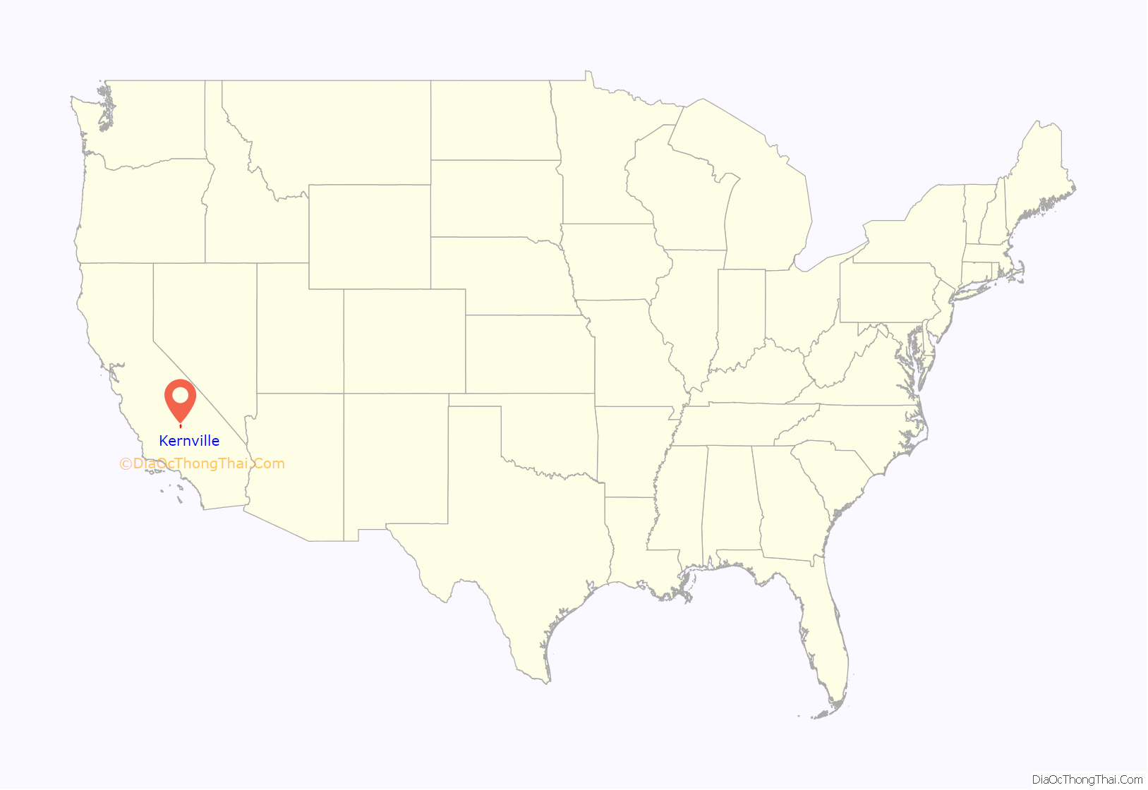
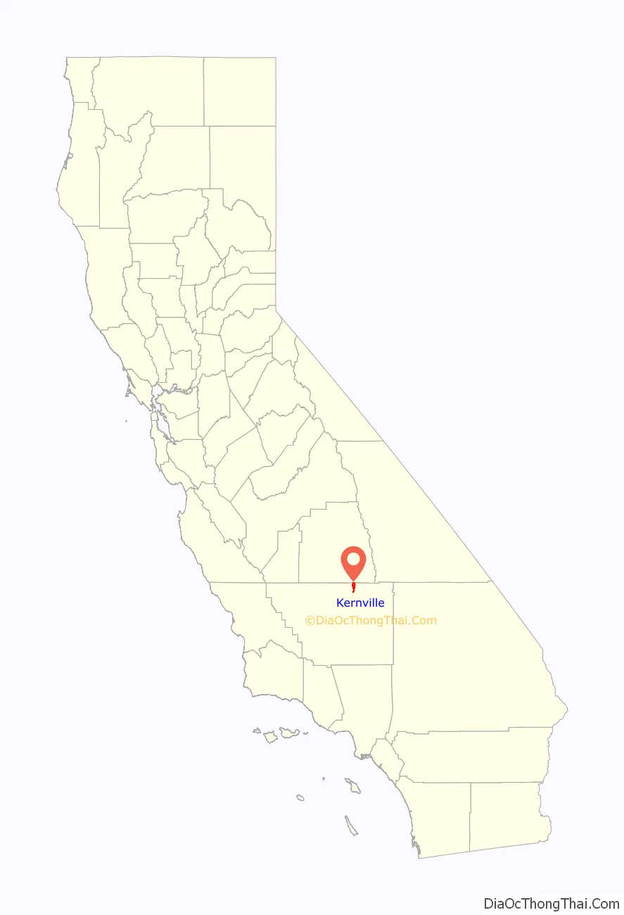
Kernville location map. Where is Kernville CDP?
History
The Kern River was named after artist and topographer Edward Kern, who accompanied John C. Fremont on his 1845 expedition. They camped at what was a fork of two rivers, now the middle of Lake Isabella. An 1858 gold rush led to the formation of a town briefly called Rogersville, then Williamsburg, which was in 1863 renamed Whiskey Flat after a bar opened. In 1864, the town was renamed Kernville.
After decades of planning, the Isabella Dam project began in 1948. As a result, Kernville was relocated upstream to its present location at the tip of the northeast fork of the man-made lake, along with certain historic buildings. Downtown visibly retains Kernville’s gold rush and Old West roots, attracting tourists along with the area’s natural scenery and outdoor activities. The town’s original location is slightly east of Wofford Heights. Foundations and other remnants can still be seen when the lake is low. The famous Mountain Inn, built mainly to house movie stars and crew before the 1948 move, is now (partially) at the new Kernville, renamed the River View Lodge.
Whiskey Flat Days is the annual celebration of the area’s Wild West roots. A parade, historical re-enactments, pioneer-style camps, a carnival, street vendors and rodeo are just part of the festivities put on every President’s Day weekend and attended by thousands of visitors.
Even with its annual summer influx of tourists, Kernville remains one of the most quaint, conservative relics of early California. Many local families trace their lineage to original 19th century homesteaders. The post office, established at the original site in 1868, was moved to the new site in 1951.
The original townsite is now registered as California Historical Landmark #132.
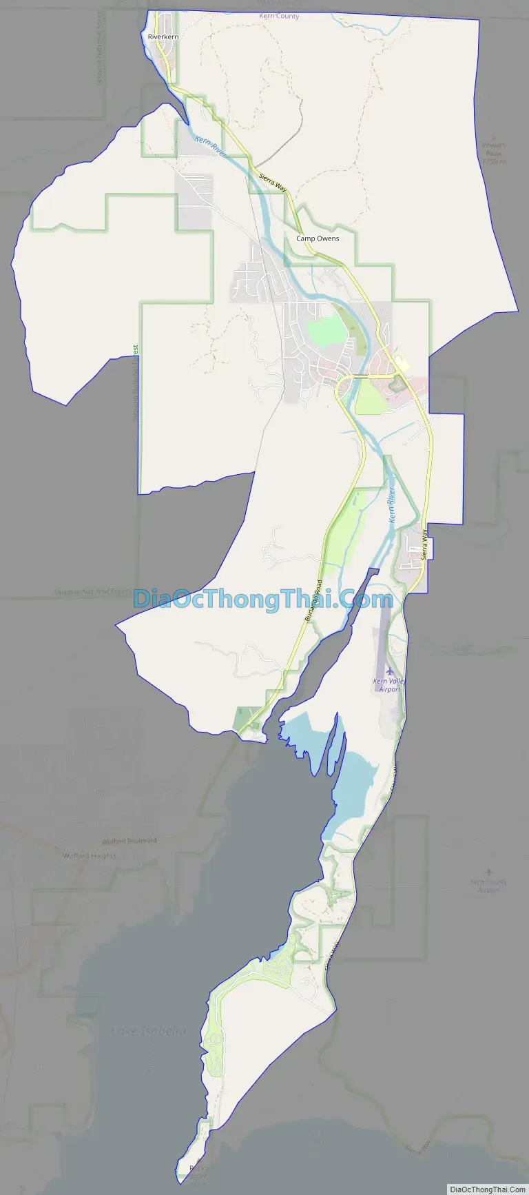
Kernville Road Map
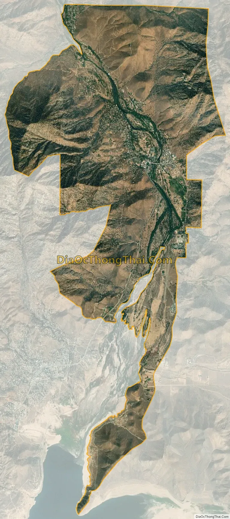
Kernville city Satellite Map
Geography
Climate
Climate type occurs primarily on the periphery of the true deserts in low-latitude semiarid steppe regions.
See also
Map of California State and its subdivision:- Alameda
- Alpine
- Amador
- Butte
- Calaveras
- Colusa
- Contra Costa
- Del Norte
- El Dorado
- Fresno
- Glenn
- Humboldt
- Imperial
- Inyo
- Kern
- Kings
- Lake
- Lassen
- Los Angeles
- Madera
- Marin
- Mariposa
- Mendocino
- Merced
- Modoc
- Mono
- Monterey
- Napa
- Nevada
- Orange
- Placer
- Plumas
- Riverside
- Sacramento
- San Benito
- San Bernardino
- San Diego
- San Francisco
- San Joaquin
- San Luis Obispo
- San Mateo
- Santa Barbara
- Santa Clara
- Santa Cruz
- Shasta
- Sierra
- Siskiyou
- Solano
- Sonoma
- Stanislaus
- Sutter
- Tehama
- Trinity
- Tulare
- Tuolumne
- Ventura
- Yolo
- Yuba
- Alabama
- Alaska
- Arizona
- Arkansas
- California
- Colorado
- Connecticut
- Delaware
- District of Columbia
- Florida
- Georgia
- Hawaii
- Idaho
- Illinois
- Indiana
- Iowa
- Kansas
- Kentucky
- Louisiana
- Maine
- Maryland
- Massachusetts
- Michigan
- Minnesota
- Mississippi
- Missouri
- Montana
- Nebraska
- Nevada
- New Hampshire
- New Jersey
- New Mexico
- New York
- North Carolina
- North Dakota
- Ohio
- Oklahoma
- Oregon
- Pennsylvania
- Rhode Island
- South Carolina
- South Dakota
- Tennessee
- Texas
- Utah
- Vermont
- Virginia
- Washington
- West Virginia
- Wisconsin
- Wyoming


