La Mesa (Spanish: La Mesa, lit. ’The Table’) is a city in San Diego County, located nine miles (14 kilometers) east of Downtown San Diego in Southern California. The population was 61,121 at the 2020 census, up from 57,065 at the 2010 census. Its civic motto is “the Jewel of the Hills.”
| Name: | La Mesa city |
|---|---|
| LSAD Code: | 25 |
| LSAD Description: | city (suffix) |
| State: | California |
| County: | San Diego County |
| Incorporated: | February 16, 1912 |
| Elevation: | 528 ft (161 m) |
| Total Area: | 9.10 sq mi (23.57 km²) |
| Land Area: | 9.10 sq mi (23.56 km²) |
| Water Area: | 0.01 sq mi (0.01 km²) 0.44% |
| Total Population: | 61,121 |
| Population Density: | 6,514.46/sq mi (2,515.34/km²) |
| ZIP code: | 91941–91944 |
| Area code: | 619 |
| FIPS code: | 0640004 |
| Website: | cityoflamesa.us |
Online Interactive Map
Click on ![]() to view map in "full screen" mode.
to view map in "full screen" mode.
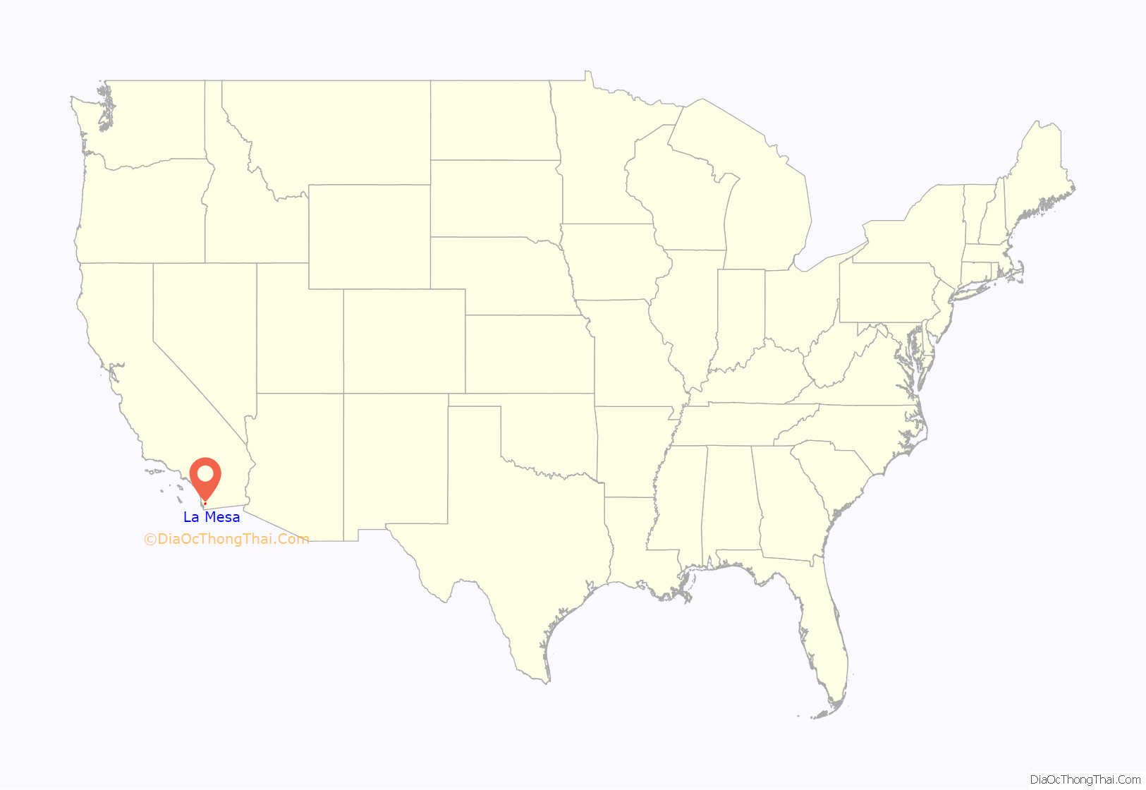
La Mesa location map. Where is La Mesa city?
History
La Mesa in Spanish means “the table”, or alternately “the plateau”, relating to its geography. La Mesa was part of a larger tract, Mission San Diego de Alcalá, and was used by Spanish missionaries.
La Mesa was founded in 1869 and The City of La Mesa was incorporated on February 16, 1912. It does not have a city charter but operates under the laws of the state of California.
Its official flower is the bougainvillea.
In 2020, La Mesa was the site of civil unrest in the wake of the murder of George Floyd in Minneapolis, Minnesota. Two days after Floyd’s murder, an unarmed black man was grabbed and shoved by a white La Mesa Police officer and arrested at the Grossmont Trolley Station. The video of the incident went viral and led to more than 1000 protesters converging on the city. An African-American grandmother was shot in the face with a bean bag round from police. The officer in the trolley station incident was charged with falsifying a police report in connection with the reason for the arrest but acquitted in December 2021.
La Mesa Road Map
La Mesa city Satellite Map
Geography
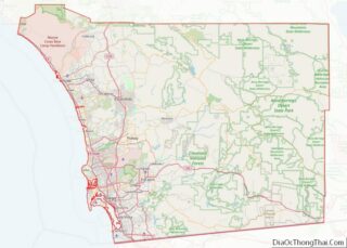
La Mesa is bordered by the city of San Diego on the west and north, Spring Valley and Lemon Grove on the south, and El Cajon on the east. It includes the neighborhood of Grossmont.
According to the United States Census Bureau, the city has a total area of 9.1 square miles (24 km). 9.1 square miles (24 km) of it is land and 0.04 square miles (0.10 km) of it (0.44%) is water.
Climate
La Mesa is approximately 10 mi (16 km) east of the Pacific Ocean. Because of this, La Mesa typically experiences more extreme temperatures than San Diego, most of which lies closer to the Pacific Ocean. La Mesa has a Semi-arid Steppe climate. La Mesa typically has hot, dry summers and warm winters with most of the annual precipitation falling between November and March. The city has dry weather with around 13 inches (330 millimeters) of annual precipitation. Summer temperatures are generally hot, with average highs of 78 °F-92 °F (26 °C–33 °C) and lows of 56 °F–68 °F (13 °C–20 °C). Winter temperatures are warm, with average high temperatures of 66 °F–77 °F (19 °C–25 °C) and lows of 46 °F–58 °F (8 °C–14 °C).
The climate in the San Diego area, like much of California, often varies significantly over short geographical distances, resulting in micro-climates. In San Diego’s case, this is mainly due to the city’s topography (the Bay, and the numerous hills, mountains, and canyons). Frequently, particularly during the “May gray/June gloom” period, a thick “marine layer” cloud cover will keep the air cool and damp within a few miles of the coast, but will yield to bright cloudless sunshine approximately 5–10 miles (8–16 km) inland. This happens every year in May and June. Even in the absence of June gloom, inland areas tend to experience higher temperatures than areas closer to the coast.
See also
Map of California State and its subdivision:- Alameda
- Alpine
- Amador
- Butte
- Calaveras
- Colusa
- Contra Costa
- Del Norte
- El Dorado
- Fresno
- Glenn
- Humboldt
- Imperial
- Inyo
- Kern
- Kings
- Lake
- Lassen
- Los Angeles
- Madera
- Marin
- Mariposa
- Mendocino
- Merced
- Modoc
- Mono
- Monterey
- Napa
- Nevada
- Orange
- Placer
- Plumas
- Riverside
- Sacramento
- San Benito
- San Bernardino
- San Diego
- San Francisco
- San Joaquin
- San Luis Obispo
- San Mateo
- Santa Barbara
- Santa Clara
- Santa Cruz
- Shasta
- Sierra
- Siskiyou
- Solano
- Sonoma
- Stanislaus
- Sutter
- Tehama
- Trinity
- Tulare
- Tuolumne
- Ventura
- Yolo
- Yuba
- Alabama
- Alaska
- Arizona
- Arkansas
- California
- Colorado
- Connecticut
- Delaware
- District of Columbia
- Florida
- Georgia
- Hawaii
- Idaho
- Illinois
- Indiana
- Iowa
- Kansas
- Kentucky
- Louisiana
- Maine
- Maryland
- Massachusetts
- Michigan
- Minnesota
- Mississippi
- Missouri
- Montana
- Nebraska
- Nevada
- New Hampshire
- New Jersey
- New Mexico
- New York
- North Carolina
- North Dakota
- Ohio
- Oklahoma
- Oregon
- Pennsylvania
- Rhode Island
- South Carolina
- South Dakota
- Tennessee
- Texas
- Utah
- Vermont
- Virginia
- Washington
- West Virginia
- Wisconsin
- Wyoming
