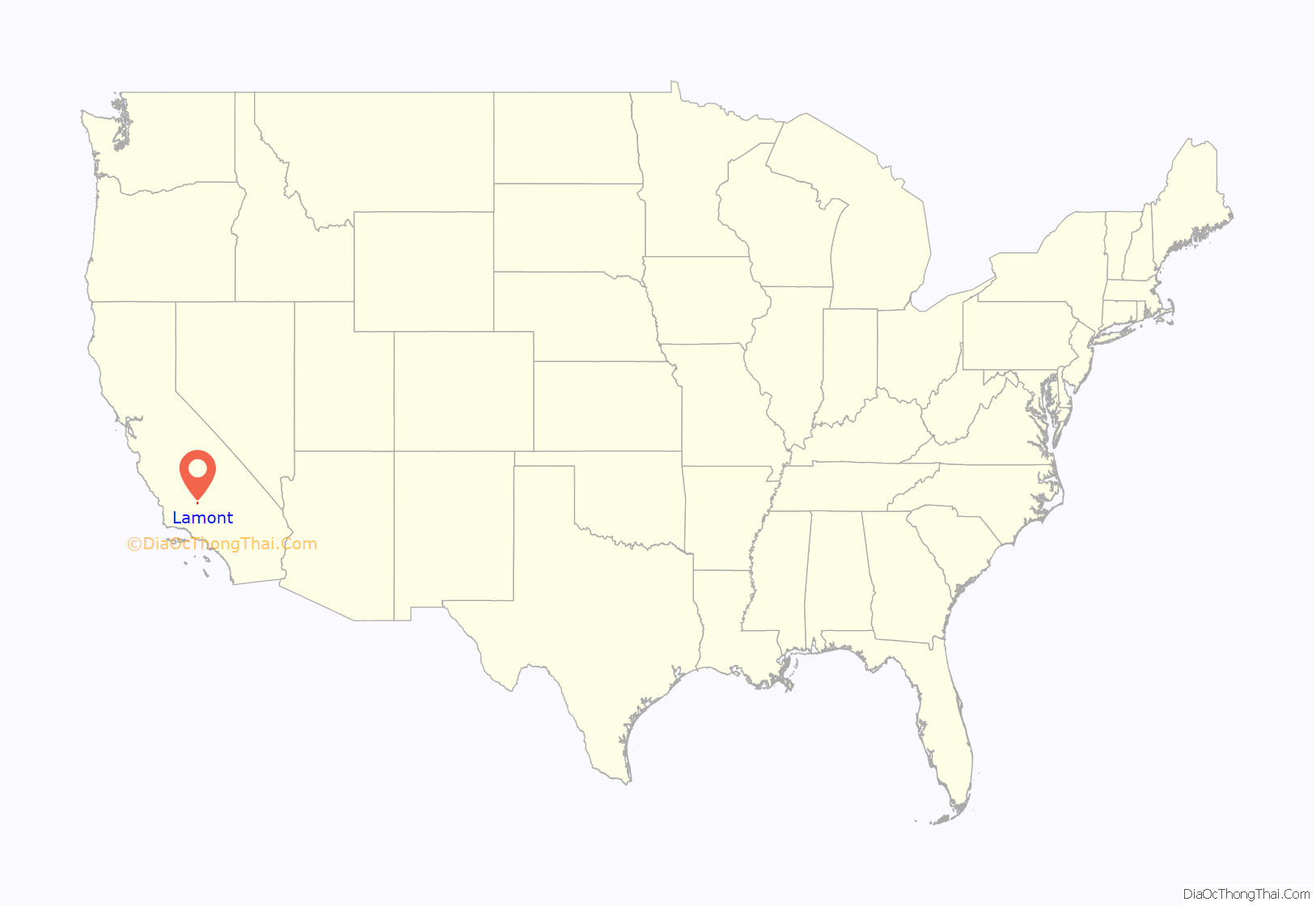
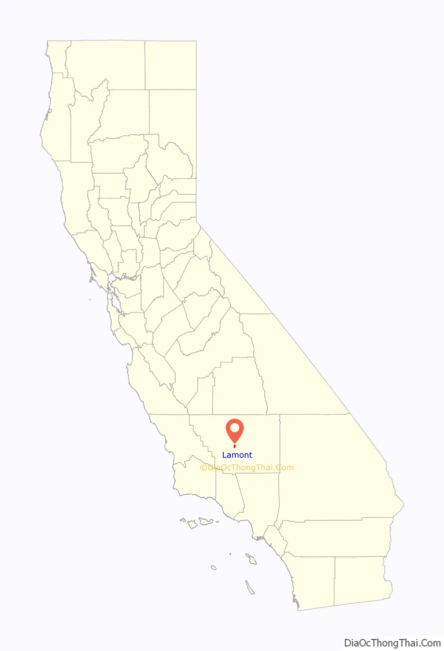
Lamont is a census-designated place (CDP) in Kern County, California, United States. Lamont is located 9 miles (14 km) south-southeast of downtown Bakersfield, at an elevation of 404 feet (123 m). The population was 15,120 at the 2010 census, up from 13,296 at the 2000 census.
| Name: | Lamont CDP |
|---|---|
| LSAD Code: | 57 |
| LSAD Description: | CDP (suffix) |
| State: | California |
| County: | Kern County |
| Elevation: | 404 ft (123 m) |
| Total Area: | 4.626 sq mi (11.980 km²) |
| Land Area: | 4.590 sq mi (11.888 km²) |
| Water Area: | 0.036 sq mi (0.092 km²) 0.77% |
| Total Population: | 15,120 |
| Population Density: | 3,300/sq mi (1,300/km²) |
| ZIP code: | 93241 |
| Area code: | 661 |
| FIPS code: | 0640088 |
| GNISfeature ID: | 1660886 |
Online Interactive Map
Click on ![]() to view map in "full screen" mode.
to view map in "full screen" mode.
Lamont location map. Where is Lamont CDP?
History
Lamont was founded in 1923. The first post office opened in 1947. During the 1930s–1950s, large numbers of farm workers migrated to the Lamont area from the east seeking relief from the Great Depression and the Dust Bowl.
The first public library in Lamont was opened in June 1912. It was located in the Weedpatch home of Phoebe Wells. Growth was rapid in the Lamont region, with the influx of workers in the oil industry, and in 1935, the library was moved to a new building. In 1952, the Kern County Board of Supervisors purchased a lot to construct a building that would house the library and a public health center. The facility was opened in January 1953. The branch remained in that building until January 1974, when it was relocated to a newer and larger location. Five years later, the branch was moved yet again to the former Lamont Community Building. To meet the ever-growing needs projected for the population in 1990, construction for a new building was made possible through funds provided by the California State Library under the Library Services and Construction Act, Title II, Community Development Block Grant funds from the United States Department of Housing and Urban Development. The old building was demolished, the new building was built, and opened to the public in early spring of 1998.
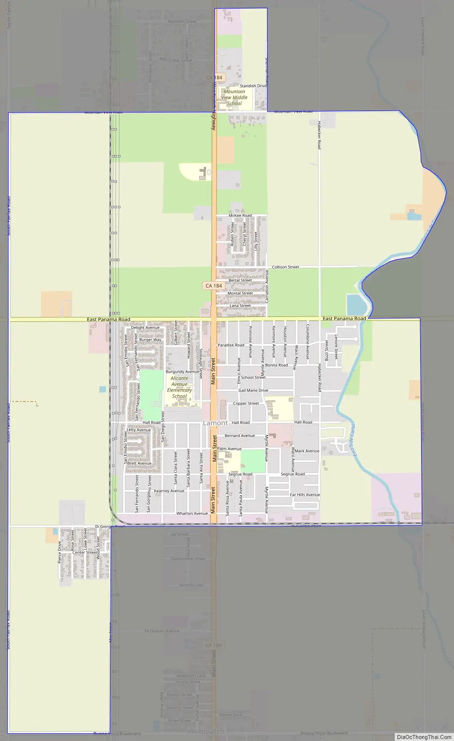
Lamont Road Map
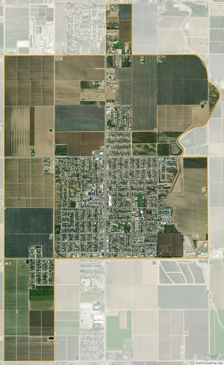
Lamont city Satellite Map
Geography
Lamont is located in south-central California about 11 mi (18 km) from Bakersfield and about 89 mi (143 km) from Los Angeles.
According to the United States Census Bureau, the CDP has a total area of 4.6 sq mi (12 km), of which 4.6 sq mi (12 km) are land and 0.04 sq mi (0.10 km) of it (0.65%) is covered by water.
See also
Map of California State and its subdivision:- Alameda
- Alpine
- Amador
- Butte
- Calaveras
- Colusa
- Contra Costa
- Del Norte
- El Dorado
- Fresno
- Glenn
- Humboldt
- Imperial
- Inyo
- Kern
- Kings
- Lake
- Lassen
- Los Angeles
- Madera
- Marin
- Mariposa
- Mendocino
- Merced
- Modoc
- Mono
- Monterey
- Napa
- Nevada
- Orange
- Placer
- Plumas
- Riverside
- Sacramento
- San Benito
- San Bernardino
- San Diego
- San Francisco
- San Joaquin
- San Luis Obispo
- San Mateo
- Santa Barbara
- Santa Clara
- Santa Cruz
- Shasta
- Sierra
- Siskiyou
- Solano
- Sonoma
- Stanislaus
- Sutter
- Tehama
- Trinity
- Tulare
- Tuolumne
- Ventura
- Yolo
- Yuba
- Alabama
- Alaska
- Arizona
- Arkansas
- California
- Colorado
- Connecticut
- Delaware
- District of Columbia
- Florida
- Georgia
- Hawaii
- Idaho
- Illinois
- Indiana
- Iowa
- Kansas
- Kentucky
- Louisiana
- Maine
- Maryland
- Massachusetts
- Michigan
- Minnesota
- Mississippi
- Missouri
- Montana
- Nebraska
- Nevada
- New Hampshire
- New Jersey
- New Mexico
- New York
- North Carolina
- North Dakota
- Ohio
- Oklahoma
- Oregon
- Pennsylvania
- Rhode Island
- South Carolina
- South Dakota
- Tennessee
- Texas
- Utah
- Vermont
- Virginia
- Washington
- West Virginia
- Wisconsin
- Wyoming


