Larkspur is a city in Marin County, California, United States. Larkspur is located 3 miles (4.8 km) south of San Rafael, at an elevation of 43 feet (13 m). As of the 2020 Census, the city’s population was 13,064. Larkspur’s Police Department is shared with that of the neighboring Corte Madera and town of San Anselmo as the Central Marin Police Authority. Intersecting Larkspur’s downtown is Madrone Canyon, a residential area amidst a redwood grove.
| Name: | Larkspur city |
|---|---|
| LSAD Code: | 25 |
| LSAD Description: | city (suffix) |
| State: | California |
| County: | Marin County |
| Incorporated: | March 1, 1908 |
| Elevation: | 43 ft (13 m) |
| Total Area: | 3.24 sq mi (8.40 km²) |
| Land Area: | 3.02 sq mi (7.84 km²) |
| Water Area: | 0.22 sq mi (0.57 km²) 6.66% |
| Total Population: | 13,064 |
| Population Density: | 4,000/sq mi (1,600/km²) |
| ZIP code: | 94939 |
| FIPS code: | 0640438 |
| Website: | www.ci.larkspur.ca.us |
Online Interactive Map
Click on ![]() to view map in "full screen" mode.
to view map in "full screen" mode.
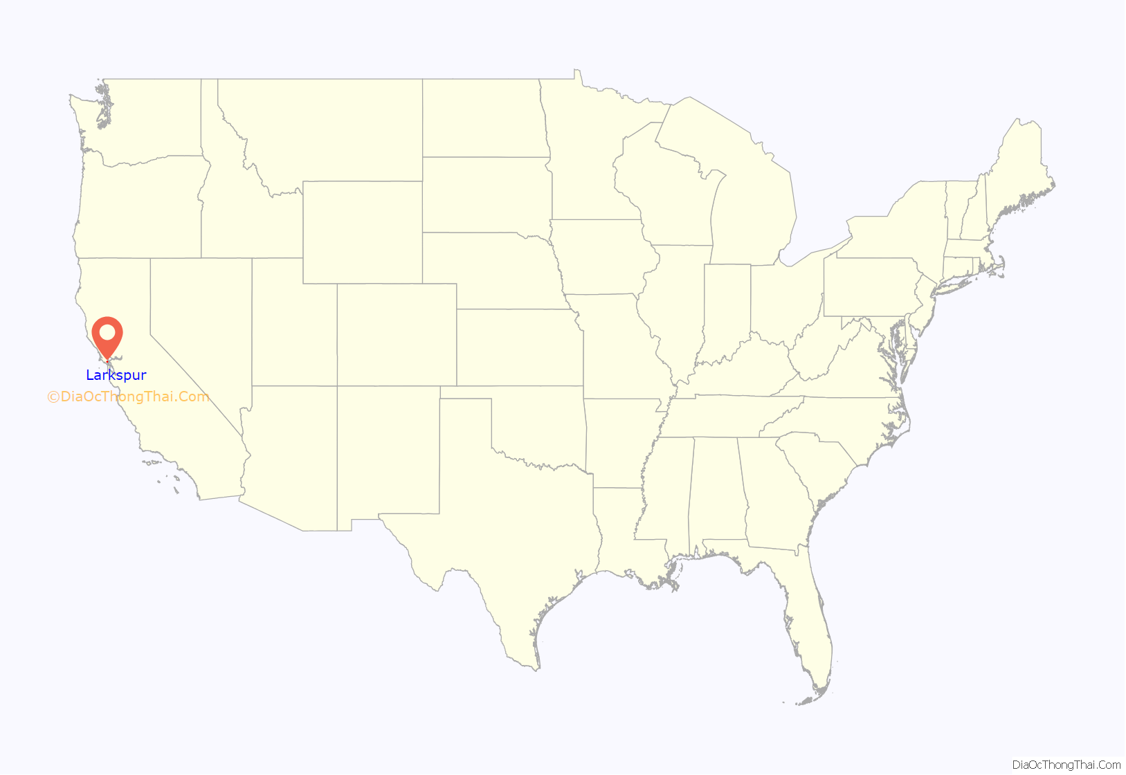
Larkspur location map. Where is Larkspur city?
History
Charles W. Wright laid out the town in 1887. The first post office opened in 1891. Larkspur incorporated in 1908. Larkspur’s Downtown Historic District, known also as Old Downtown Larkspur, is a historic district that was listed on the National Register of Historic Places in 1982. The restored Art Deco Lark Theater is part of this downtown district.
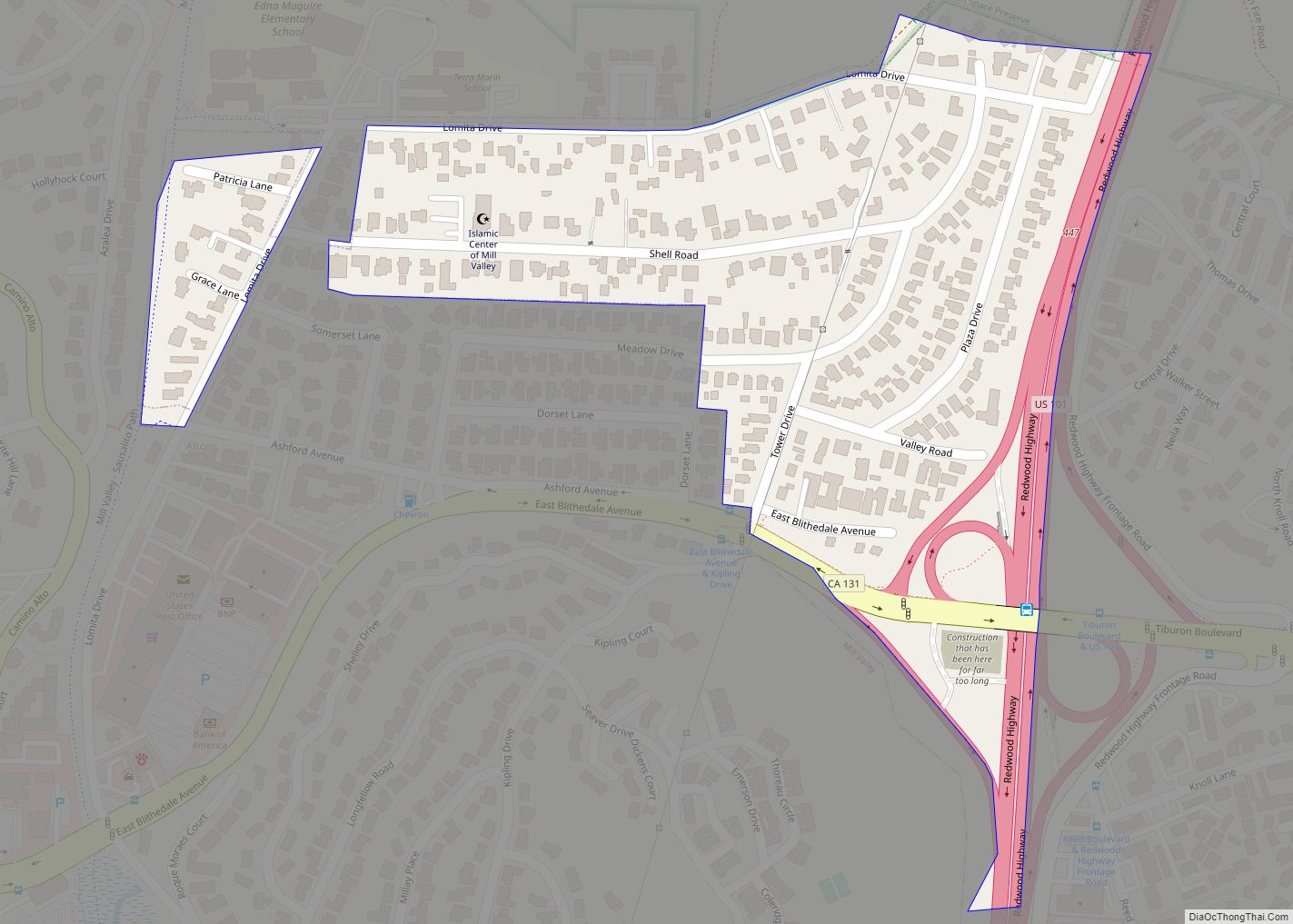
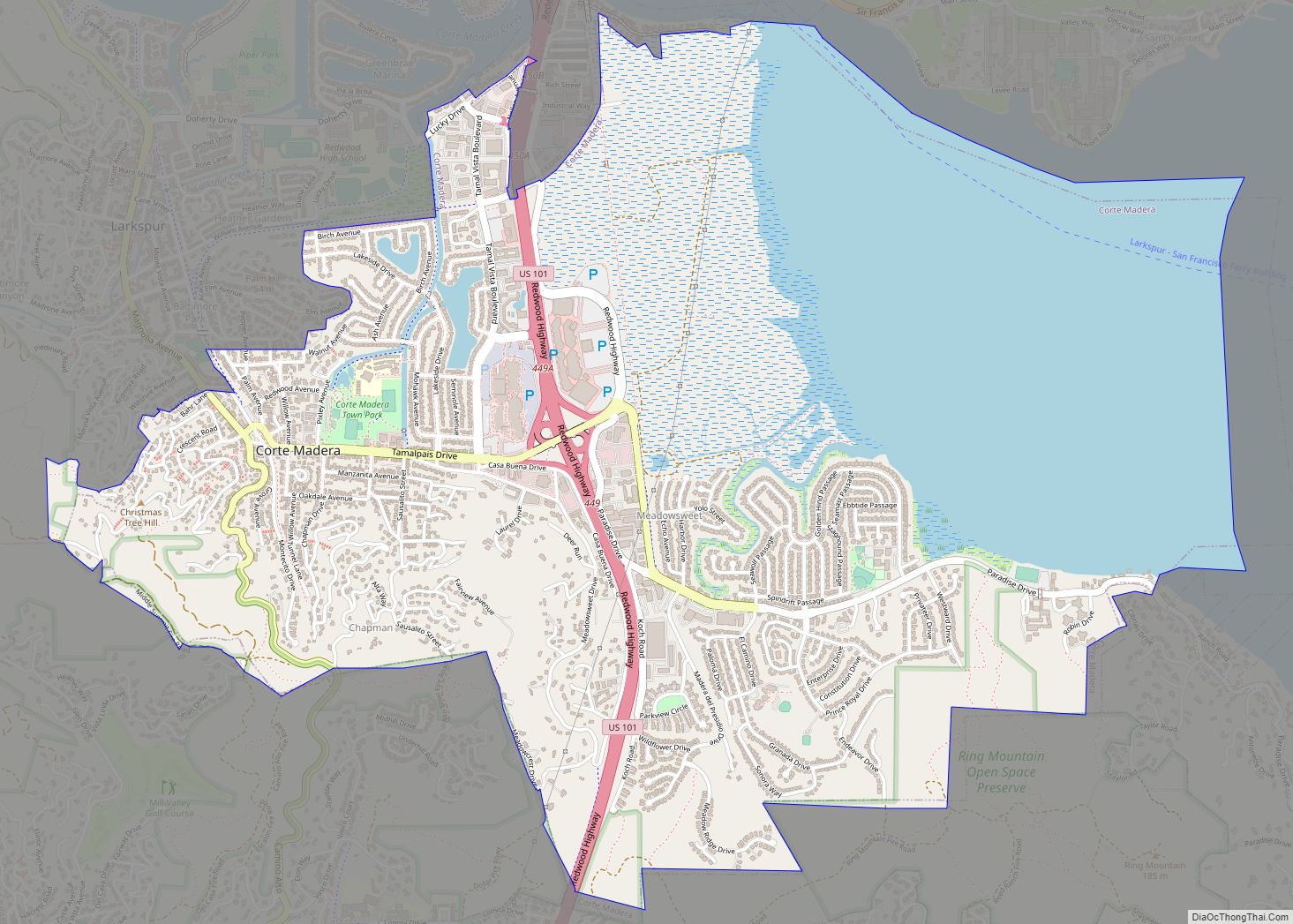
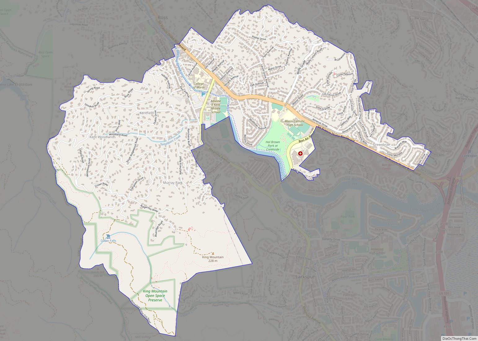
Larkspur Road Map
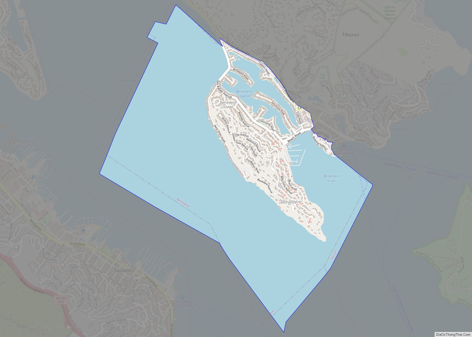
Larkspur city Satellite Map
Geography
According to the United States Census Bureau, the city has a total area of 3.24 sq mi (8.4 km), of which 3.03 sq mi (7.8 km) is land and 0.22 sq mi (0.6 km) (6.66%) is water.
See also
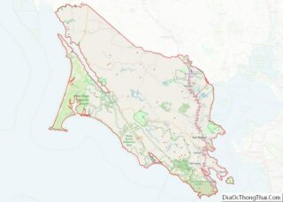
Map of California State and its subdivision:- Alameda
- Alpine
- Amador
- Butte
- Calaveras
- Colusa
- Contra Costa
- Del Norte
- El Dorado
- Fresno
- Glenn
- Humboldt
- Imperial
- Inyo
- Kern
- Kings
- Lake
- Lassen
- Los Angeles
- Madera
- Marin
- Mariposa
- Mendocino
- Merced
- Modoc
- Mono
- Monterey
- Napa
- Nevada
- Orange
- Placer
- Plumas
- Riverside
- Sacramento
- San Benito
- San Bernardino
- San Diego
- San Francisco
- San Joaquin
- San Luis Obispo
- San Mateo
- Santa Barbara
- Santa Clara
- Santa Cruz
- Shasta
- Sierra
- Siskiyou
- Solano
- Sonoma
- Stanislaus
- Sutter
- Tehama
- Trinity
- Tulare
- Tuolumne
- Ventura
- Yolo
- Yuba
- Alabama
- Alaska
- Arizona
- Arkansas
- California
- Colorado
- Connecticut
- Delaware
- District of Columbia
- Florida
- Georgia
- Hawaii
- Idaho
- Illinois
- Indiana
- Iowa
- Kansas
- Kentucky
- Louisiana
- Maine
- Maryland
- Massachusetts
- Michigan
- Minnesota
- Mississippi
- Missouri
- Montana
- Nebraska
- Nevada
- New Hampshire
- New Jersey
- New Mexico
- New York
- North Carolina
- North Dakota
- Ohio
- Oklahoma
- Oregon
- Pennsylvania
- Rhode Island
- South Carolina
- South Dakota
- Tennessee
- Texas
- Utah
- Vermont
- Virginia
- Washington
- West Virginia
- Wisconsin
- Wyoming
