Leggett (formerly Leggett Valley) is a census-designated place in Mendocino County, California, United States. It is located on the South Fork of the Eel River, 21 miles (34 km) by road northwest of Laytonville, at an elevation of 984 ft (300 m). It is home to some of the largest trees in the world. The nearby Smithe Redwoods State Natural Reserve and Standish-Hickey State Recreation Area are noted for their forests of coastal redwoods. The population of Leggett was 77 at the 2020 census, down from 122 at the 2010 census.
The community is served by California’s State Route 1, whose northern terminus with U.S. Route 101 is just outside the center of town.
The town of Leggett includes a single gas station, United States Post Office, 1-12 school, a small grocery store, restaurant, full-service mechanic (ask a local), fire station and the Drive-Thru Tree.
The Leggett post office was dedicated in 1969.
| Name: | Leggett CDP |
|---|---|
| LSAD Code: | 57 |
| LSAD Description: | CDP (suffix) |
| State: | California |
| County: | Mendocino County |
| Elevation: | 984 ft (300 m) |
| Total Area: | 2.704 sq mi (7.00 km²) |
| Land Area: | 2.704 sq mi (7.00 km²) |
| Water Area: | 0 sq mi (0 km²) 0% |
| Total Population: | 77 |
| Population Density: | 28/sq mi (11/km²) |
| ZIP code: | 95585 |
| Area code: | 707 |
| FIPS code: | 0641026 |
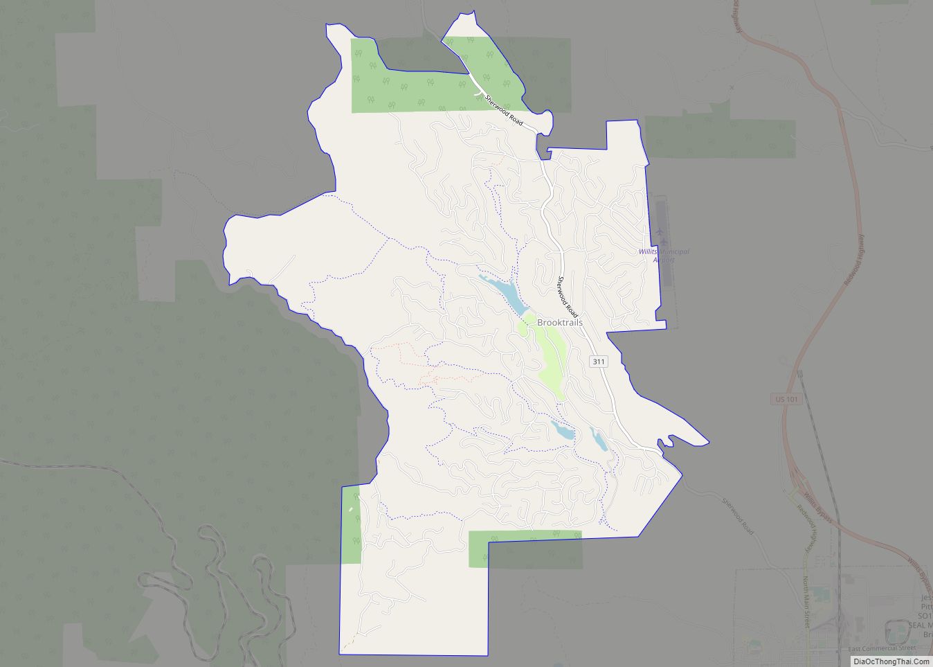
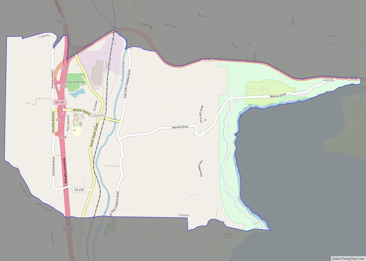
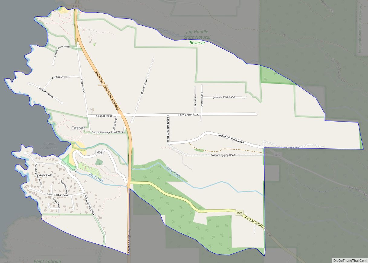
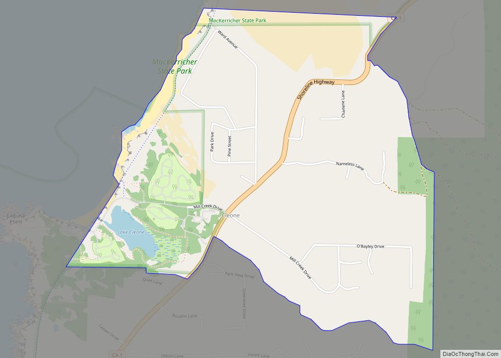
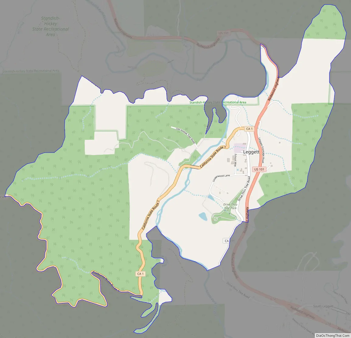
Online Interactive Map
Click on ![]() to view map in "full screen" mode.
to view map in "full screen" mode.
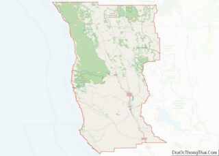
Leggett location map. Where is Leggett CDP?
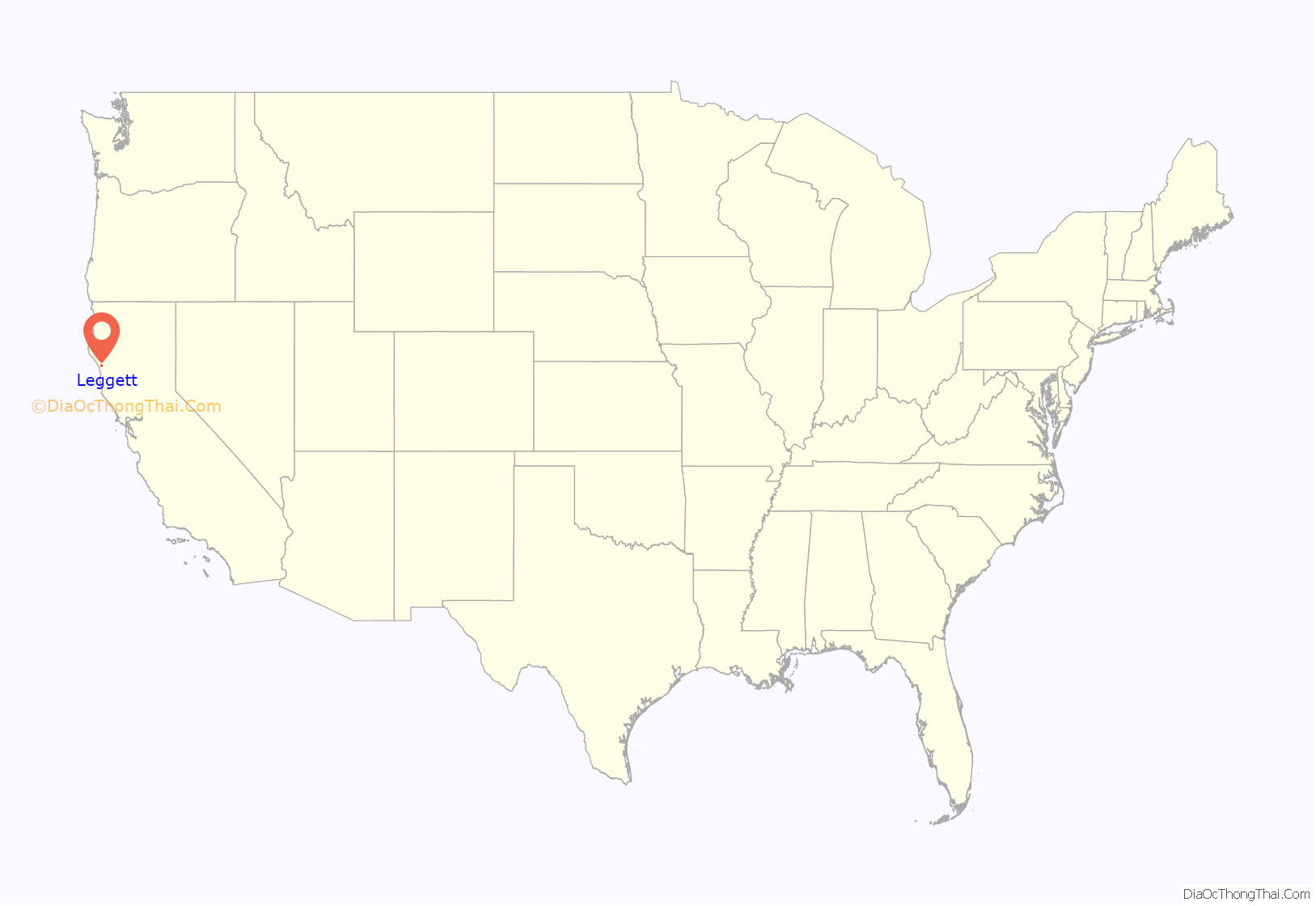
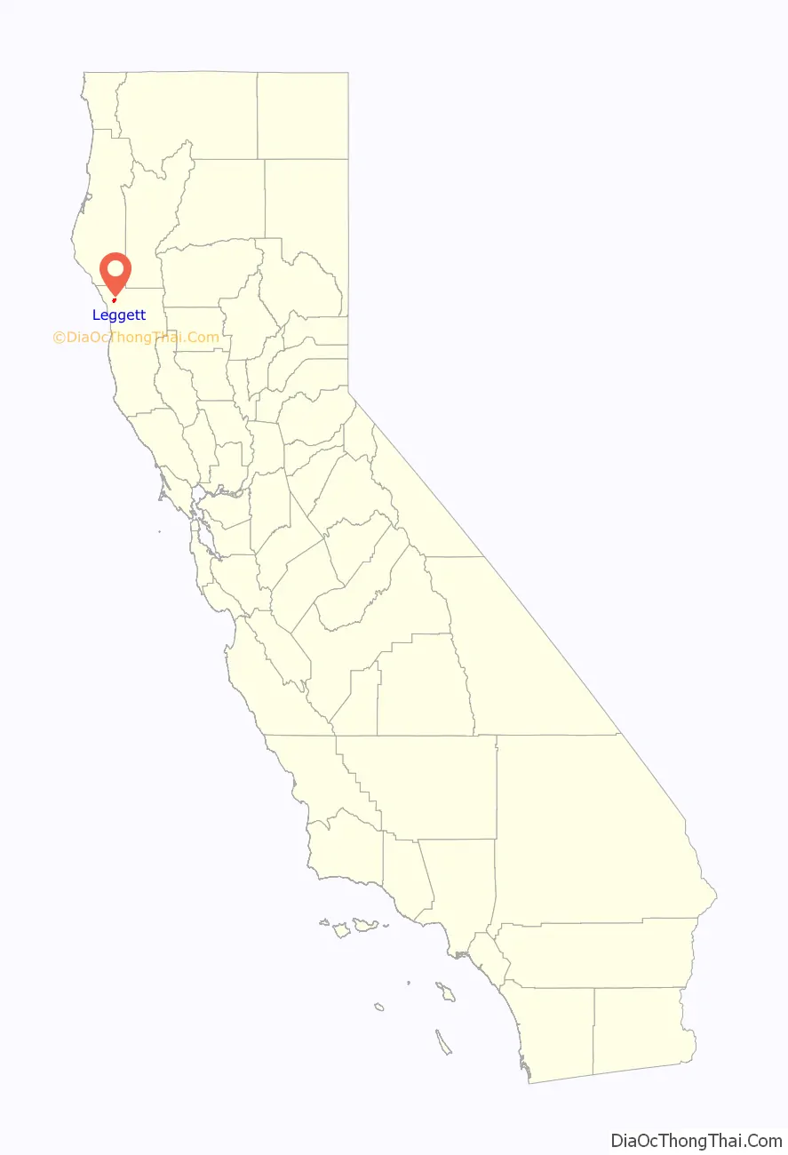
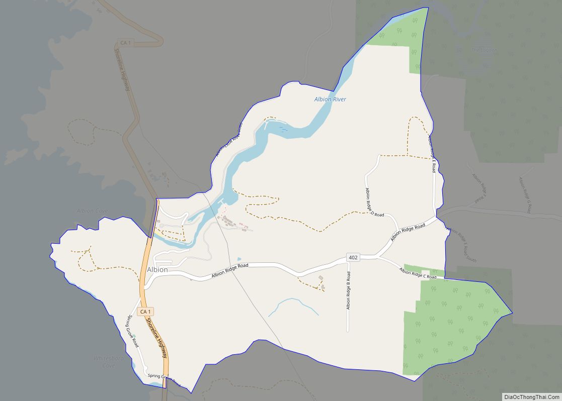
Leggett Road Map
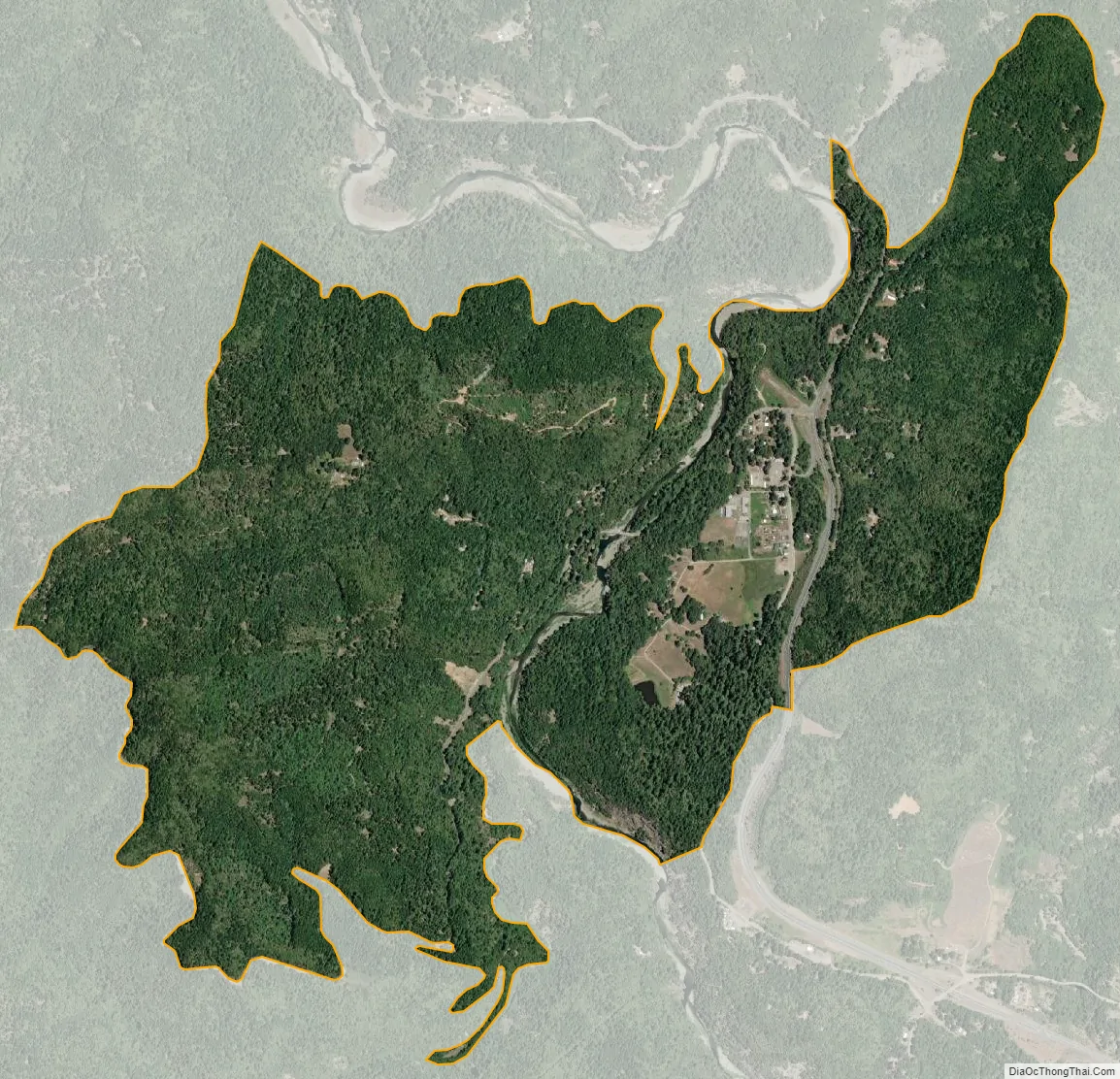
Leggett city Satellite Map
Geography
Leggett is in northwestern Mendocino County, in the valley of the South Fork Eel River. U.S. Route 101 leads north from Leggett 22 miles (35 km) to Garberville and 90 miles (140 km) to Eureka, while to the south it leads 67 miles (108 km) to Ukiah, the Mendocino county seat. California State Route 1 has its northern terminus at US 101 in Leggett and leads southwest 27 miles (43 km) to Westport on the Pacific Ocean.
According to the United States Census Bureau, the Leggett CDP covers an area of 2.7 square miles (7.0 km), all of it land.
South Leggett is an unincorporated community along U.S. Route 101, 1 mile (1.6 km) south-southeast of Leggett, at an elevation of 1,112 feet (339 m).
See also
Map of California State and its subdivision:- Alameda
- Alpine
- Amador
- Butte
- Calaveras
- Colusa
- Contra Costa
- Del Norte
- El Dorado
- Fresno
- Glenn
- Humboldt
- Imperial
- Inyo
- Kern
- Kings
- Lake
- Lassen
- Los Angeles
- Madera
- Marin
- Mariposa
- Mendocino
- Merced
- Modoc
- Mono
- Monterey
- Napa
- Nevada
- Orange
- Placer
- Plumas
- Riverside
- Sacramento
- San Benito
- San Bernardino
- San Diego
- San Francisco
- San Joaquin
- San Luis Obispo
- San Mateo
- Santa Barbara
- Santa Clara
- Santa Cruz
- Shasta
- Sierra
- Siskiyou
- Solano
- Sonoma
- Stanislaus
- Sutter
- Tehama
- Trinity
- Tulare
- Tuolumne
- Ventura
- Yolo
- Yuba
- Alabama
- Alaska
- Arizona
- Arkansas
- California
- Colorado
- Connecticut
- Delaware
- District of Columbia
- Florida
- Georgia
- Hawaii
- Idaho
- Illinois
- Indiana
- Iowa
- Kansas
- Kentucky
- Louisiana
- Maine
- Maryland
- Massachusetts
- Michigan
- Minnesota
- Mississippi
- Missouri
- Montana
- Nebraska
- Nevada
- New Hampshire
- New Jersey
- New Mexico
- New York
- North Carolina
- North Dakota
- Ohio
- Oklahoma
- Oregon
- Pennsylvania
- Rhode Island
- South Carolina
- South Dakota
- Tennessee
- Texas
- Utah
- Vermont
- Virginia
- Washington
- West Virginia
- Wisconsin
- Wyoming