Lemon Cove is a census-designated place (CDP) in the San Joaquin Valley in Tulare County, California, United States. The population was 308 at the 2010 census, up from 298 at the 2000 census.
| Name: | Lemon Cove CDP |
|---|---|
| LSAD Code: | 57 |
| LSAD Description: | CDP (suffix) |
| State: | California |
| County: | Tulare County |
| Elevation: | 502 ft (153 m) |
| Total Area: | 0.834 sq mi (2.159 km²) |
| Land Area: | 0.834 sq mi (2.159 km²) |
| Water Area: | 0 sq mi (0 km²) 0% |
| Total Population: | 308 |
| Population Density: | 370/sq mi (140/km²) |
| ZIP code: | 93244 |
| Area code: | 559 |
| FIPS code: | 0641110 |
Online Interactive Map
Click on ![]() to view map in "full screen" mode.
to view map in "full screen" mode.
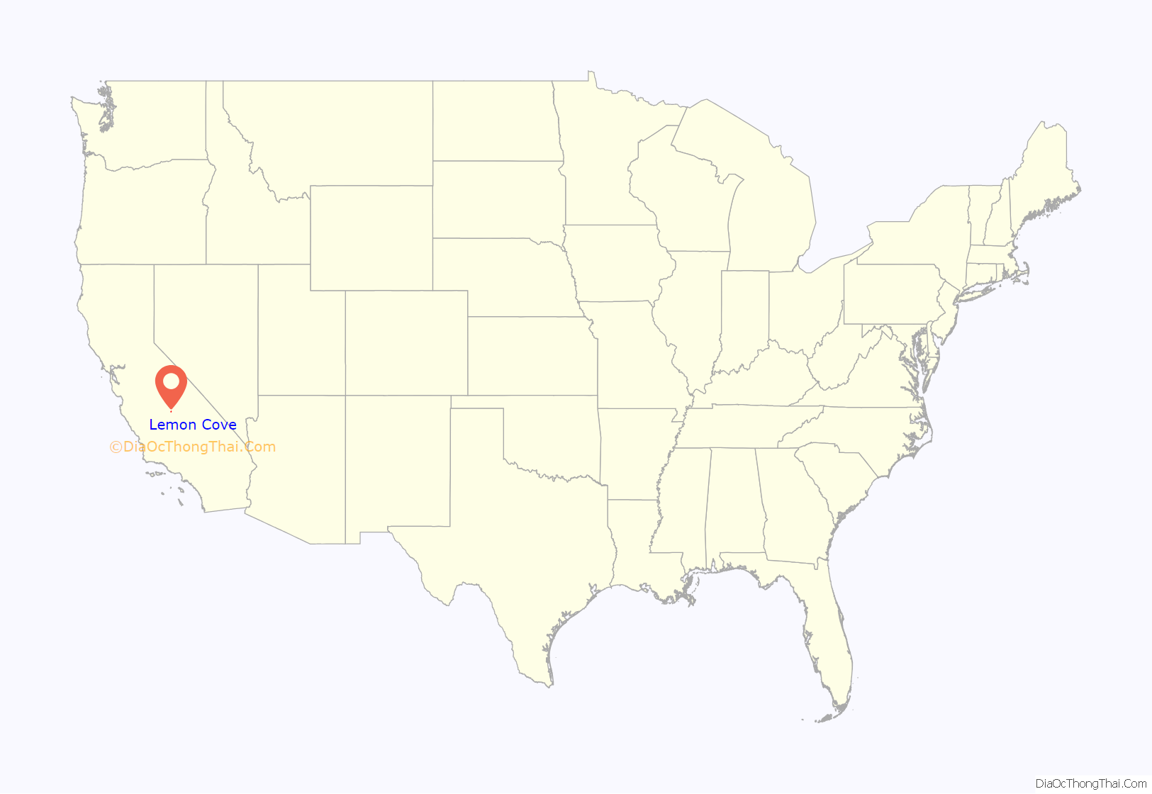
Lemon Cove location map. Where is Lemon Cove CDP?
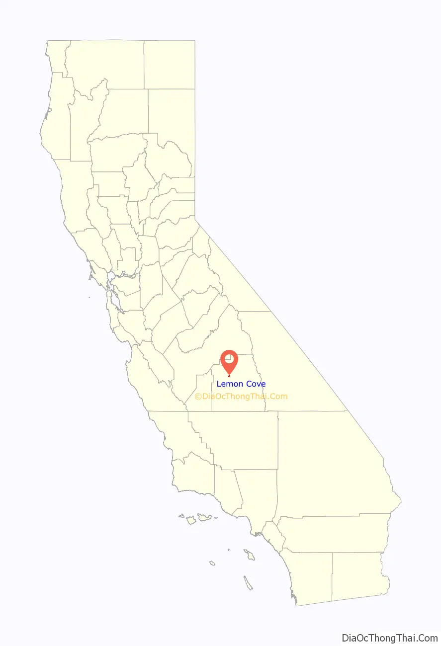
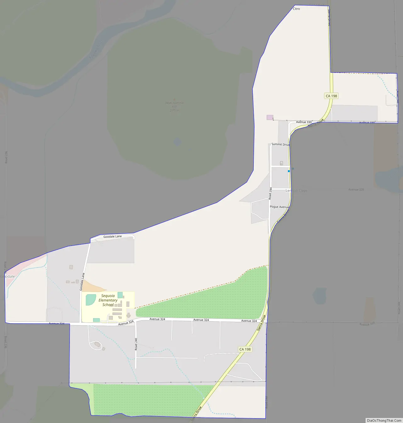
Lemon Cove Road Map
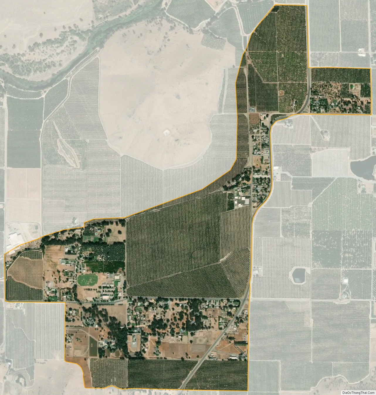
Lemon Cove city Satellite Map
Geography
Lemon Cove is located at 36°22′53″N 119°1′33″W / 36.38139°N 119.02583°W / 36.38139; -119.02583 (36.381425, -119.025917) near the confluence of Lime Kiln Creek and the Kaweah River.
There are numerous flora and fauna species in the vicinity of Lemon Cove. The local Lime Kiln Creek watershed contains many wildflowers of numerous taxa; included in these are the yellow mariposa lily, Calochortus luteus.
According to the United States Census Bureau, the CDP has a total area of 0.8 square miles (2.1 km), all of it land.
See also
Map of California State and its subdivision:- Alameda
- Alpine
- Amador
- Butte
- Calaveras
- Colusa
- Contra Costa
- Del Norte
- El Dorado
- Fresno
- Glenn
- Humboldt
- Imperial
- Inyo
- Kern
- Kings
- Lake
- Lassen
- Los Angeles
- Madera
- Marin
- Mariposa
- Mendocino
- Merced
- Modoc
- Mono
- Monterey
- Napa
- Nevada
- Orange
- Placer
- Plumas
- Riverside
- Sacramento
- San Benito
- San Bernardino
- San Diego
- San Francisco
- San Joaquin
- San Luis Obispo
- San Mateo
- Santa Barbara
- Santa Clara
- Santa Cruz
- Shasta
- Sierra
- Siskiyou
- Solano
- Sonoma
- Stanislaus
- Sutter
- Tehama
- Trinity
- Tulare
- Tuolumne
- Ventura
- Yolo
- Yuba
- Alabama
- Alaska
- Arizona
- Arkansas
- California
- Colorado
- Connecticut
- Delaware
- District of Columbia
- Florida
- Georgia
- Hawaii
- Idaho
- Illinois
- Indiana
- Iowa
- Kansas
- Kentucky
- Louisiana
- Maine
- Maryland
- Massachusetts
- Michigan
- Minnesota
- Mississippi
- Missouri
- Montana
- Nebraska
- Nevada
- New Hampshire
- New Jersey
- New Mexico
- New York
- North Carolina
- North Dakota
- Ohio
- Oklahoma
- Oregon
- Pennsylvania
- Rhode Island
- South Carolina
- South Dakota
- Tennessee
- Texas
- Utah
- Vermont
- Virginia
- Washington
- West Virginia
- Wisconsin
- Wyoming


