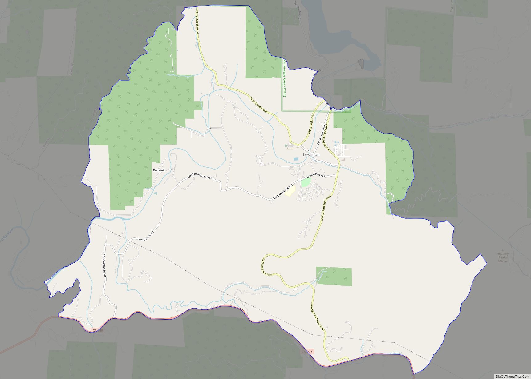
Lewiston is a census-designated place (CDP) in Trinity County, California, United States. Its population is 1,222 as of the 2020 census, up from 1,193 from the 2010 census.
| Name: | Lewiston CDP |
|---|---|
| LSAD Code: | 57 |
| LSAD Description: | CDP (suffix) |
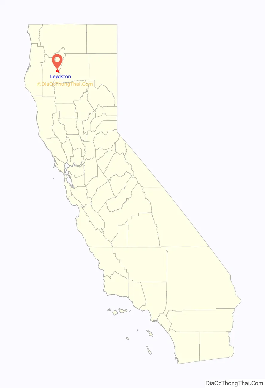
| State: | California |
| County: | Trinity County |
| Elevation: | 1,814 ft (553 m) |
| Total Area: | 20.009 sq mi (51.824 km²) |
| Land Area: | 20.009 sq mi (51.824 km²) |
| Water Area: | 0 sq mi (0 km²) 0% |
| Total Population: | 1,222 |
| Population Density: | 61/sq mi (24/km²) |
| ZIP code: | 96052 |
| Area code: | 530 |
| FIPS code: | 0641278 |
| GNISfeature ID: | 0277538 |
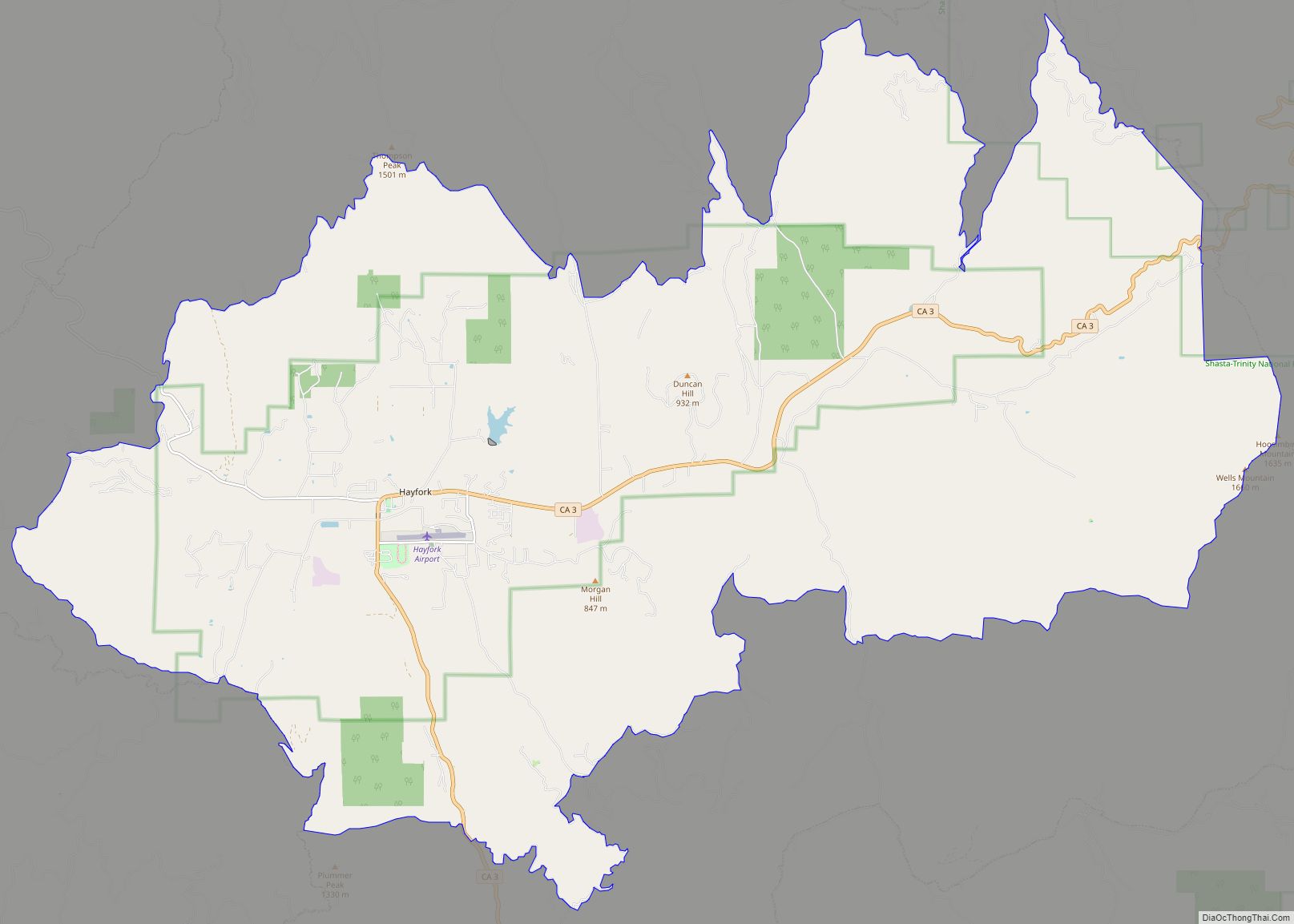
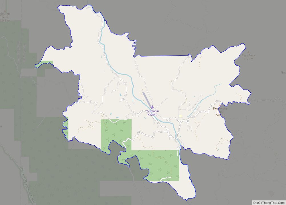
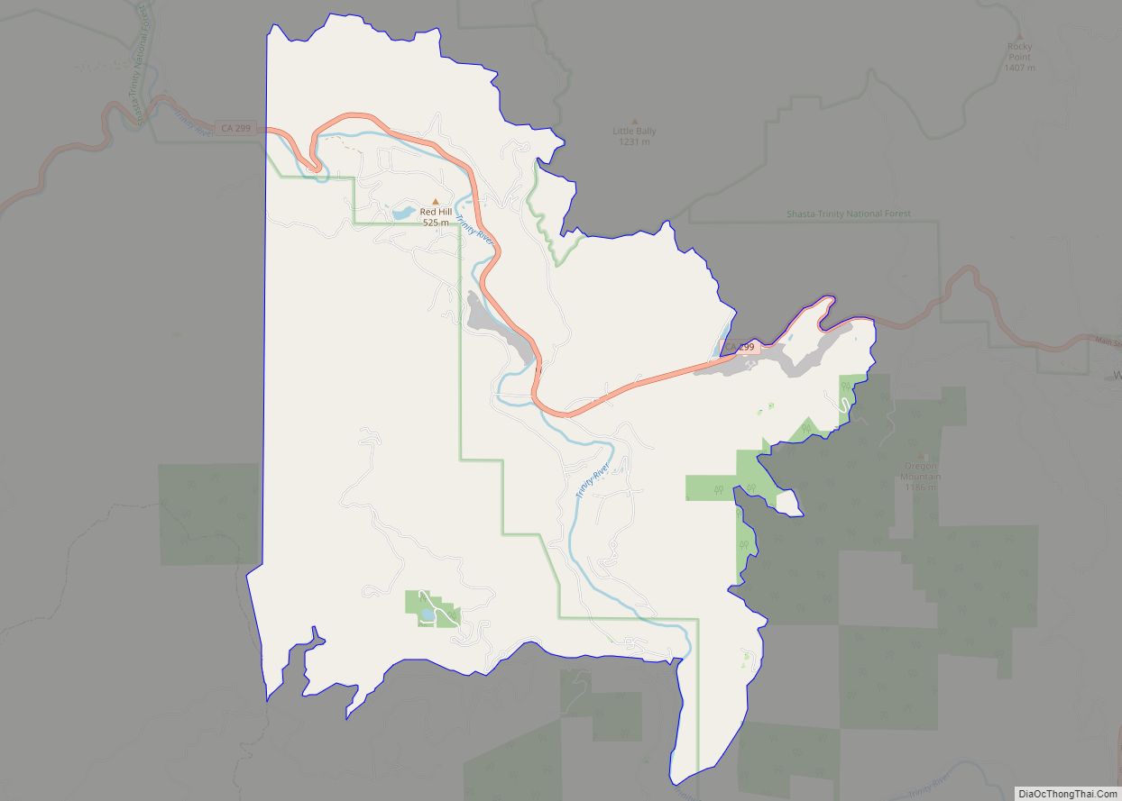
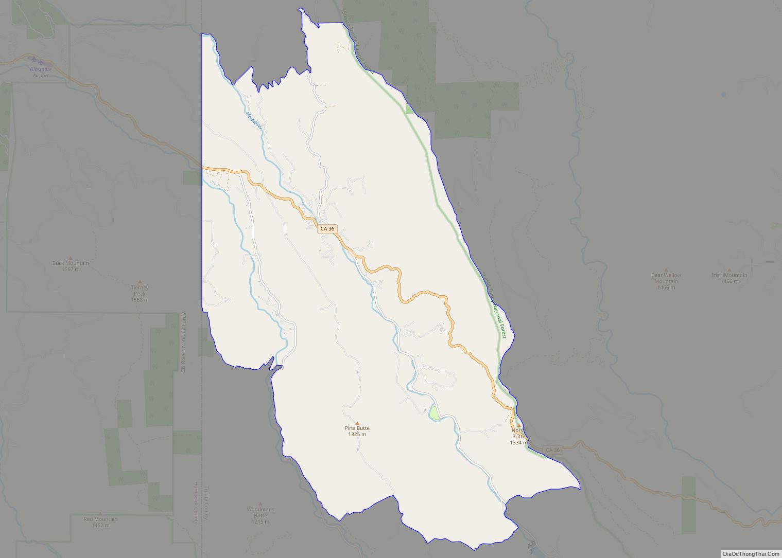
Online Interactive Map
Click on ![]() to view map in "full screen" mode.
to view map in "full screen" mode.
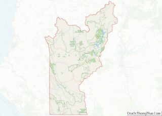
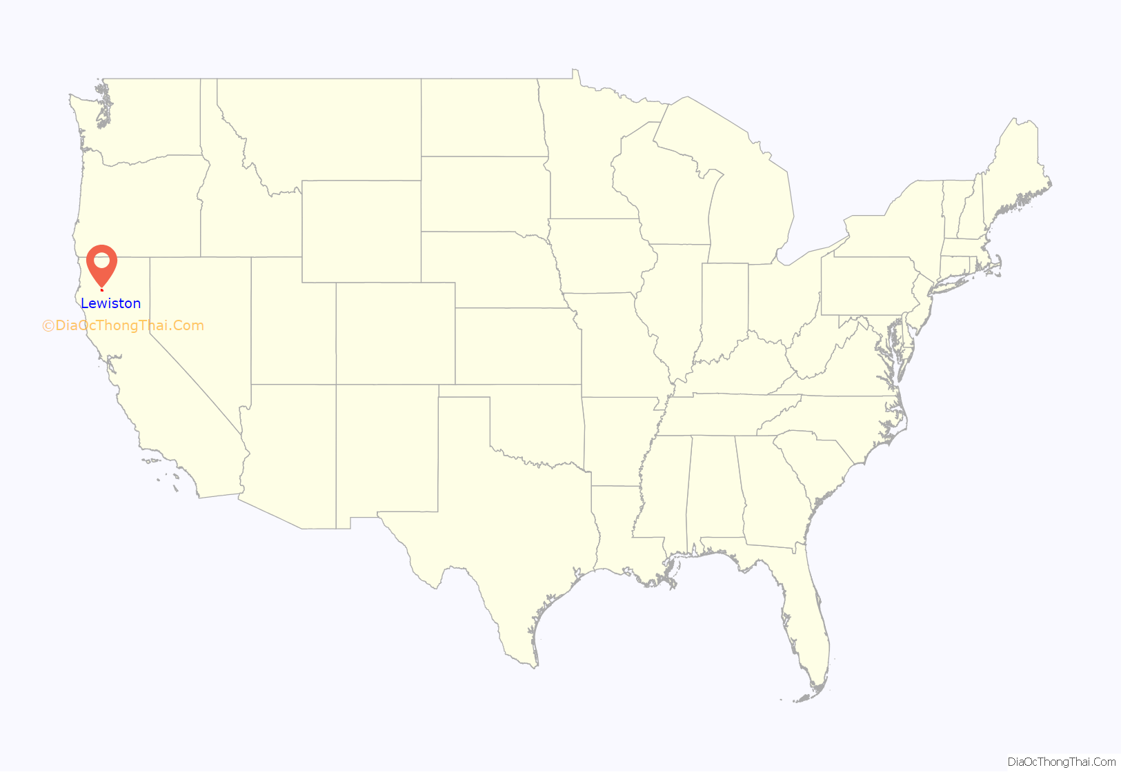
Lewiston location map. Where is Lewiston CDP?
History
A post office called Lewiston has been in operation since 1854. The community was named after Benjamin Franklin Lewis, adopted son of town founder Tom Palmer, who with Lewis ran a gold mining operation on the Trinity River in the early days of the Gold Rush.
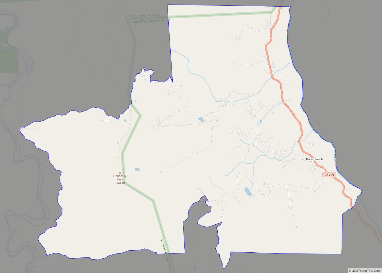
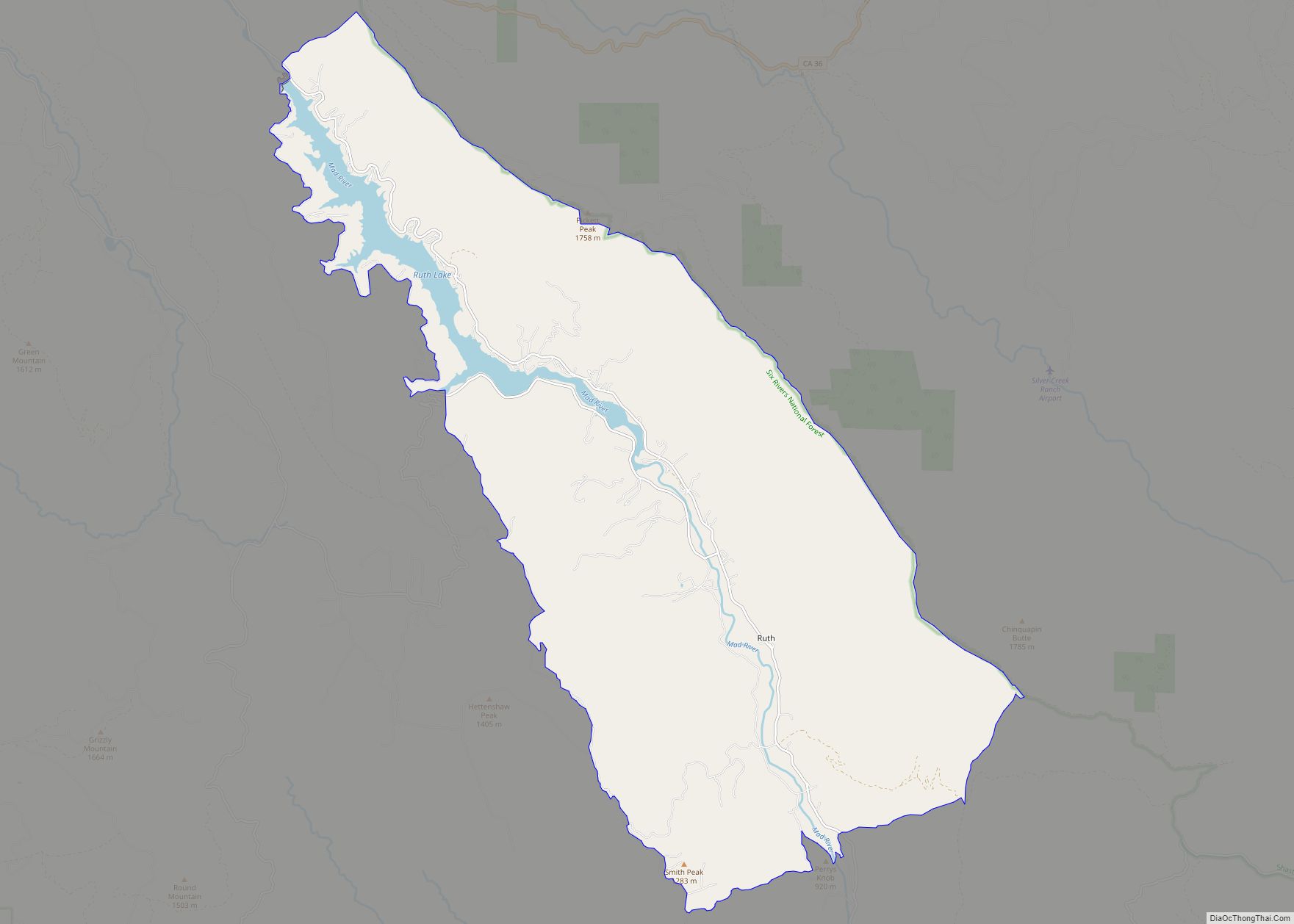
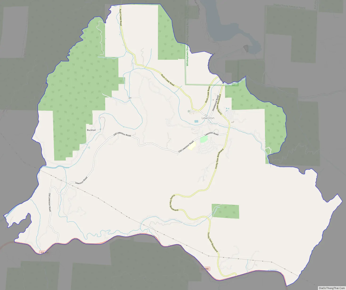
Lewiston Road Map
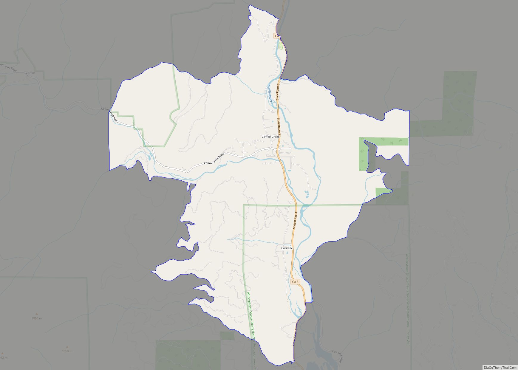
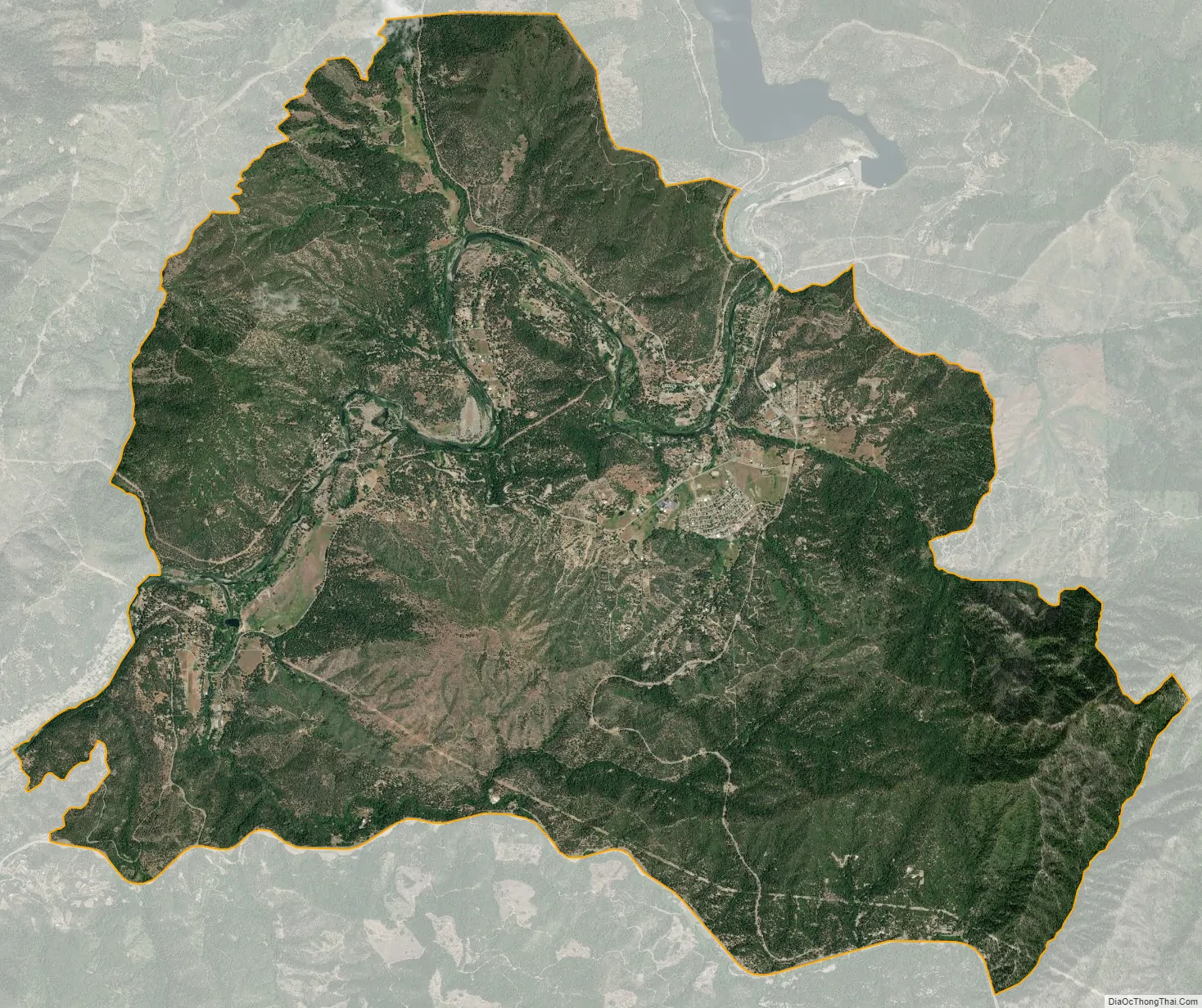
Lewiston city Satellite Map
Geography
Lewiston is located at 40°41′57″N 122°48′38″W / 40.69917°N 122.81056°W / 40.69917; -122.81056 (40.699213, -122.810684).
According to the United States Census Bureau, the CDP has a total area of 51.8 square kilometers (20.0 sq mi), all land.
Climate
According to the Köppen Climate Classification system, Lewiston has a hot-summer Mediterranean climate, abbreviated “Csa” on climate maps. It experiences hot summers and cool winters with great diurnal temperature variation.
See also
Map of California State and its subdivision:- Alameda
- Alpine
- Amador
- Butte
- Calaveras
- Colusa
- Contra Costa
- Del Norte
- El Dorado
- Fresno
- Glenn
- Humboldt
- Imperial
- Inyo
- Kern
- Kings
- Lake
- Lassen
- Los Angeles
- Madera
- Marin
- Mariposa
- Mendocino
- Merced
- Modoc
- Mono
- Monterey
- Napa
- Nevada
- Orange
- Placer
- Plumas
- Riverside
- Sacramento
- San Benito
- San Bernardino
- San Diego
- San Francisco
- San Joaquin
- San Luis Obispo
- San Mateo
- Santa Barbara
- Santa Clara
- Santa Cruz
- Shasta
- Sierra
- Siskiyou
- Solano
- Sonoma
- Stanislaus
- Sutter
- Tehama
- Trinity
- Tulare
- Tuolumne
- Ventura
- Yolo
- Yuba
- Alabama
- Alaska
- Arizona
- Arkansas
- California
- Colorado
- Connecticut
- Delaware
- District of Columbia
- Florida
- Georgia
- Hawaii
- Idaho
- Illinois
- Indiana
- Iowa
- Kansas
- Kentucky
- Louisiana
- Maine
- Maryland
- Massachusetts
- Michigan
- Minnesota
- Mississippi
- Missouri
- Montana
- Nebraska
- Nevada
- New Hampshire
- New Jersey
- New Mexico
- New York
- North Carolina
- North Dakota
- Ohio
- Oklahoma
- Oregon
- Pennsylvania
- Rhode Island
- South Carolina
- South Dakota
- Tennessee
- Texas
- Utah
- Vermont
- Virginia
- Washington
- West Virginia
- Wisconsin
- Wyoming