Linda (Spanish for “Pretty”) is a census-designated place (CDP) in Yuba County, California, United States. The population was 17,773 at the 2010 census, up from 13,474 at the 2000 census. Linda is located 2 miles (3.2 km) north-northwest of Olivehurst.
| Name: | Linda CDP |
|---|---|
| LSAD Code: | 57 |
| LSAD Description: | CDP (suffix) |
| State: | California |
| County: | Yuba County |
| Elevation: | 69 ft (21 m) |
| Total Area: | 8.546 sq mi (22.134 km²) |
| Land Area: | 8.546 sq mi (22.134 km²) |
| Water Area: | 0 sq mi (0 km²) 0% |
| Total Population: | 17,773 |
| Population Density: | 2,100/sq mi (800/km²) |
| ZIP code: | 95901 |
| Area code: | 530 |
| FIPS code: | 0641572 |
| GNISfeature ID: | 1658963 |
Online Interactive Map
Click on ![]() to view map in "full screen" mode.
to view map in "full screen" mode.
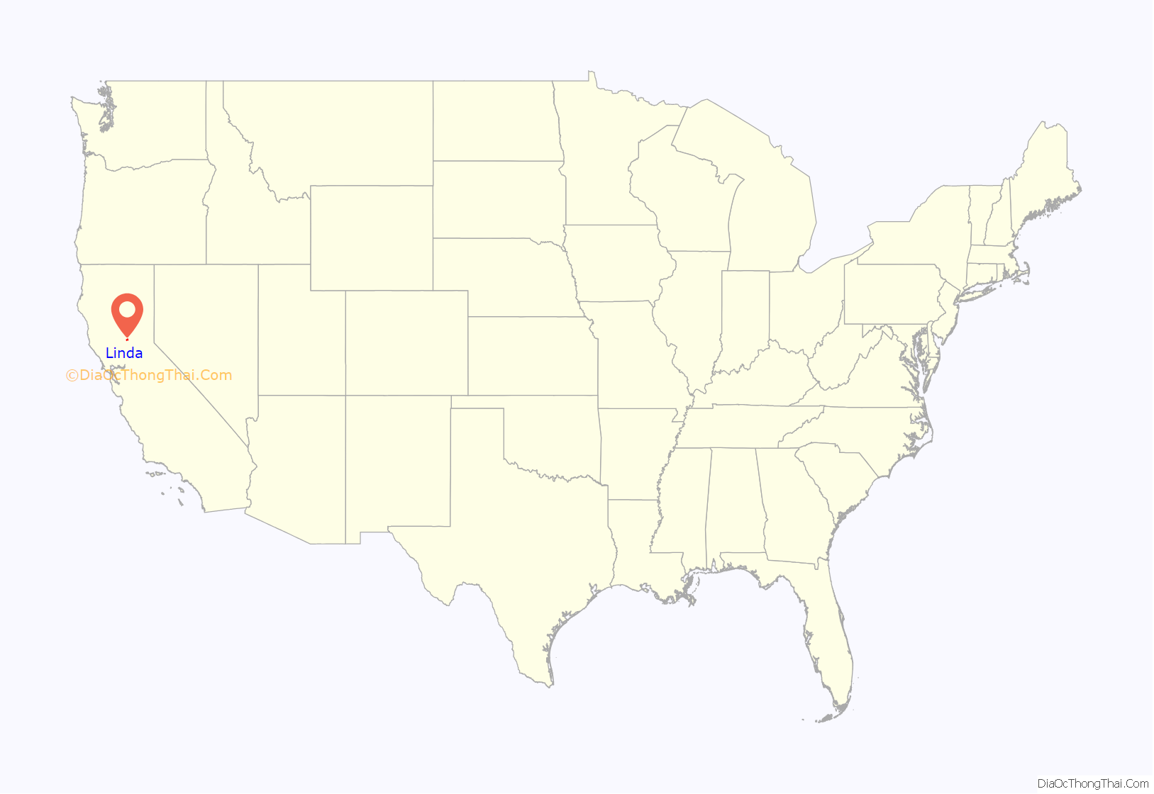
Linda location map. Where is Linda CDP?
History
The townsite was originally laid out in 1850 and originally called Olivehurst by John Rose at the furthest navigable point on the Yuba River, on the south bank above Marysville. The town at that site lasted only two years before moving to its present location. The original site is buried under tailings from hydraulic mining.
Speckert Lumber and Diamond International operated a sawmill in Linda from 1937 to 1984.
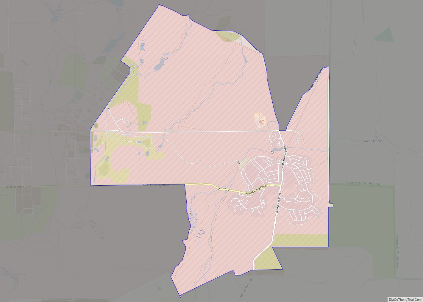
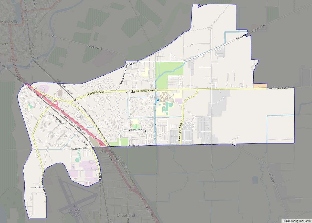
Linda Road Map
Linda city Satellite Map
Geography
Linda is located at 39°07′40″N 121°33′03″W / 39.12778°N 121.55083°W / 39.12778; -121.55083.
According to the United States Census Bureau, the CDP has a total area of 8.5 square miles (22 km), all of it land.
Climate
According to the Köppen Climate Classification system, Linda has a warm-summer Mediterranean climate, abbreviated “Csa” on climate maps.
See also
Map of California State and its subdivision:- Alameda
- Alpine
- Amador
- Butte
- Calaveras
- Colusa
- Contra Costa
- Del Norte
- El Dorado
- Fresno
- Glenn
- Humboldt
- Imperial
- Inyo
- Kern
- Kings
- Lake
- Lassen
- Los Angeles
- Madera
- Marin
- Mariposa
- Mendocino
- Merced
- Modoc
- Mono
- Monterey
- Napa
- Nevada
- Orange
- Placer
- Plumas
- Riverside
- Sacramento
- San Benito
- San Bernardino
- San Diego
- San Francisco
- San Joaquin
- San Luis Obispo
- San Mateo
- Santa Barbara
- Santa Clara
- Santa Cruz
- Shasta
- Sierra
- Siskiyou
- Solano
- Sonoma
- Stanislaus
- Sutter
- Tehama
- Trinity
- Tulare
- Tuolumne
- Ventura
- Yolo
- Yuba
- Alabama
- Alaska
- Arizona
- Arkansas
- California
- Colorado
- Connecticut
- Delaware
- District of Columbia
- Florida
- Georgia
- Hawaii
- Idaho
- Illinois
- Indiana
- Iowa
- Kansas
- Kentucky
- Louisiana
- Maine
- Maryland
- Massachusetts
- Michigan
- Minnesota
- Mississippi
- Missouri
- Montana
- Nebraska
- Nevada
- New Hampshire
- New Jersey
- New Mexico
- New York
- North Carolina
- North Dakota
- Ohio
- Oklahoma
- Oregon
- Pennsylvania
- Rhode Island
- South Carolina
- South Dakota
- Tennessee
- Texas
- Utah
- Vermont
- Virginia
- Washington
- West Virginia
- Wisconsin
- Wyoming
