Lockwood is an unincorporated community and census-designated place (CDP) in Monterey County, California, United States. As of the 2020 census it had a population of 368.
It is a small community consisting of farms, ranches, and vineyards, in a broad valley encompassed by the coastal mountains. The ZIP Code is 93932, and the community is inside area code 831.
| Name: | Lockwood CDP |
|---|---|
| LSAD Code: | 57 |
| LSAD Description: | CDP (suffix) |
| State: | California |
| County: | Monterey County |
| Elevation: | 971 ft (296 m) |
| Total Area: | 10.907 sq mi (28.250 km²) |
| Land Area: | 10.873 sq mi (28.162 km²) |
| Water Area: | 0.034 sq mi (0.088 km²) 0.31% |
| Total Population: | 368 |
| Population Density: | 34/sq mi (13/km²) |
| ZIP code: | 93932 |
| Area code: | 831 |
| FIPS code: | 0642146 |
Online Interactive Map
Click on ![]() to view map in "full screen" mode.
to view map in "full screen" mode.
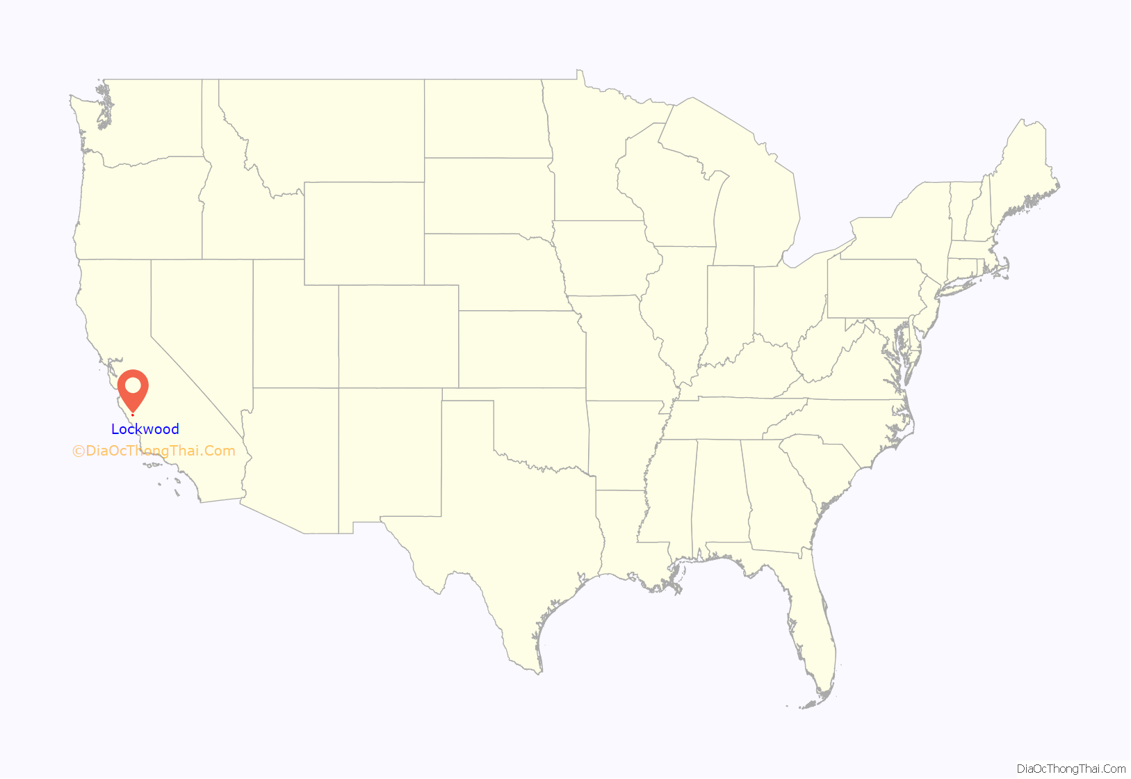
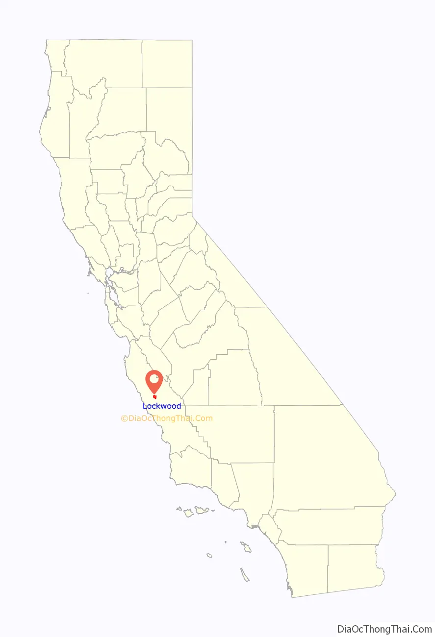
Lockwood location map. Where is Lockwood CDP?
History
The first post office opened in 1888. The name honors Belva Lockwood, candidate for President of the United States in 1884 and 1888 on the Equal Rights Party ticket.
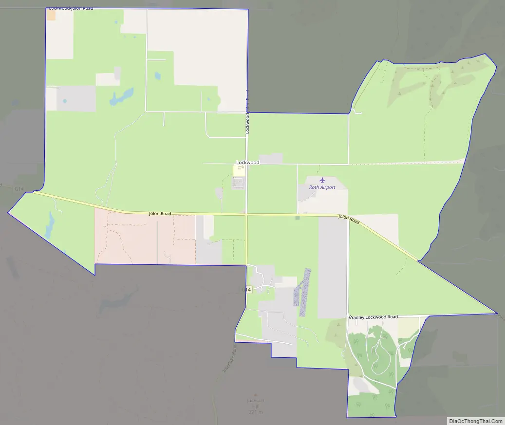
Lockwood Road Map
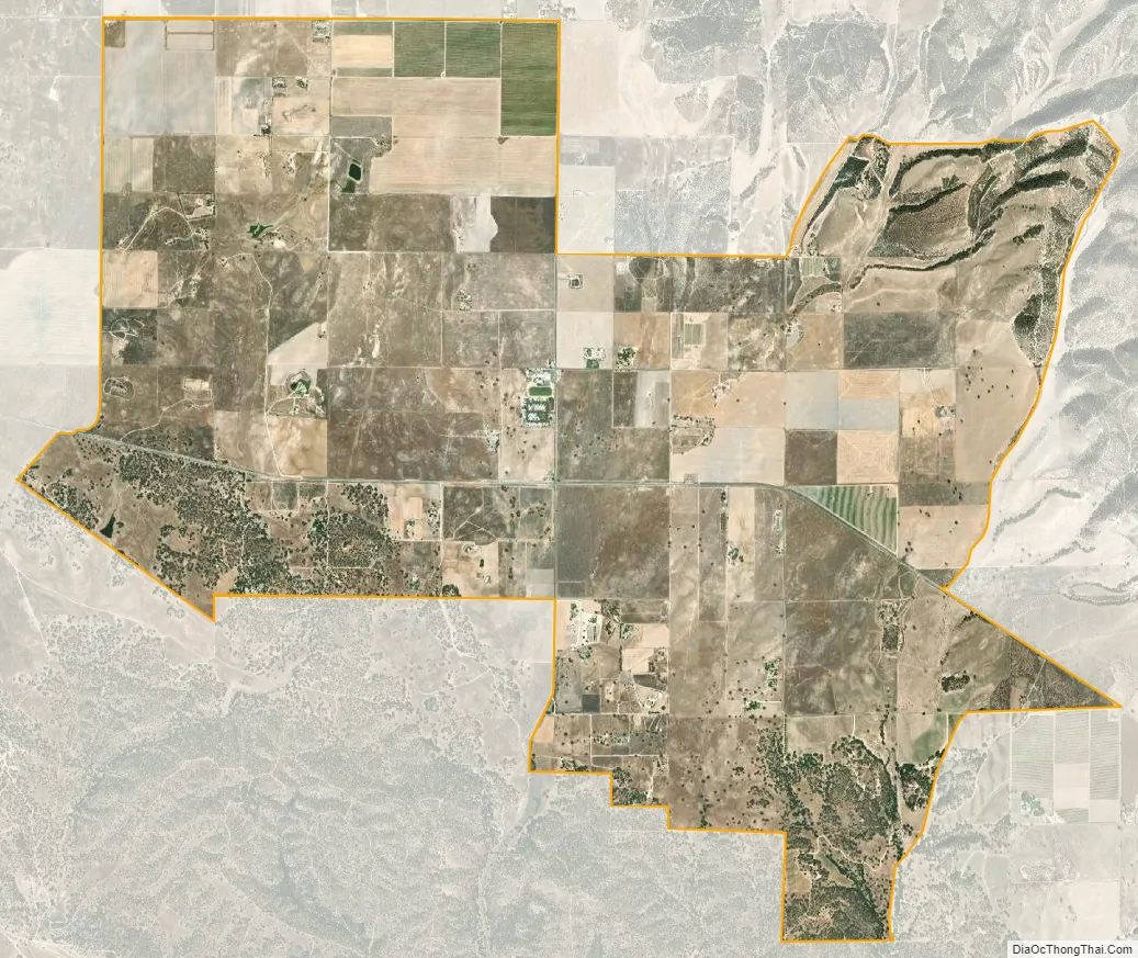
Lockwood city Satellite Map
Geography
Lockwood is in southern Monterey County, 6 miles (10 km) east-southeast of Jolon, 1.8 miles (2.9 km) north of the mouth of Tule Canyon, 3.0 miles (4.8 km) north of the San Antonio River, and 9.3 miles (15.0 km) north of Bryson, at an elevation of 971 feet (296 m). It is 9 miles (14 km) northwest of Lake San Antonio, a destination for boaters and wakeboarders, and 10 miles (16 km) southeast of Fort Hunter Liggett.
According to the United States Census Bureau, the CDP covers an area of 10.9 square miles (28 km), 99.69% of it land, and 0.31% of it water.
There is a post office in Lockwood, a community center, Fayter’s Equine/Repair Service, and two stores, the Pleyto Store and the Lockwood Store.Lockwood also encompasses the San Antonio Valley Vineyards, including several more vineyards and few olive grows. There is extensive grazing land and cattle ranching in the area, and some families have been here ever since the town was founded, ranching and farming for generations.
Climate
This region experiences hot and dry summers, with average monthly temperatures above 90 °F (32 °C). According to the Köppen Climate Classification system, Lockwood has a warm-summer Mediterranean climate, abbreviated “Csb” on climate maps.
See also
Map of California State and its subdivision:- Alameda
- Alpine
- Amador
- Butte
- Calaveras
- Colusa
- Contra Costa
- Del Norte
- El Dorado
- Fresno
- Glenn
- Humboldt
- Imperial
- Inyo
- Kern
- Kings
- Lake
- Lassen
- Los Angeles
- Madera
- Marin
- Mariposa
- Mendocino
- Merced
- Modoc
- Mono
- Monterey
- Napa
- Nevada
- Orange
- Placer
- Plumas
- Riverside
- Sacramento
- San Benito
- San Bernardino
- San Diego
- San Francisco
- San Joaquin
- San Luis Obispo
- San Mateo
- Santa Barbara
- Santa Clara
- Santa Cruz
- Shasta
- Sierra
- Siskiyou
- Solano
- Sonoma
- Stanislaus
- Sutter
- Tehama
- Trinity
- Tulare
- Tuolumne
- Ventura
- Yolo
- Yuba
- Alabama
- Alaska
- Arizona
- Arkansas
- California
- Colorado
- Connecticut
- Delaware
- District of Columbia
- Florida
- Georgia
- Hawaii
- Idaho
- Illinois
- Indiana
- Iowa
- Kansas
- Kentucky
- Louisiana
- Maine
- Maryland
- Massachusetts
- Michigan
- Minnesota
- Mississippi
- Missouri
- Montana
- Nebraska
- Nevada
- New Hampshire
- New Jersey
- New Mexico
- New York
- North Carolina
- North Dakota
- Ohio
- Oklahoma
- Oregon
- Pennsylvania
- Rhode Island
- South Carolina
- South Dakota
- Tennessee
- Texas
- Utah
- Vermont
- Virginia
- Washington
- West Virginia
- Wisconsin
- Wyoming


