Long Barn is a census-designated place (CDP) in Tuolumne County, California. Long Barn sits at an elevation of 5,043 feet (1,537 m). The 2010 United States census reported Long Barn’s population was 155.
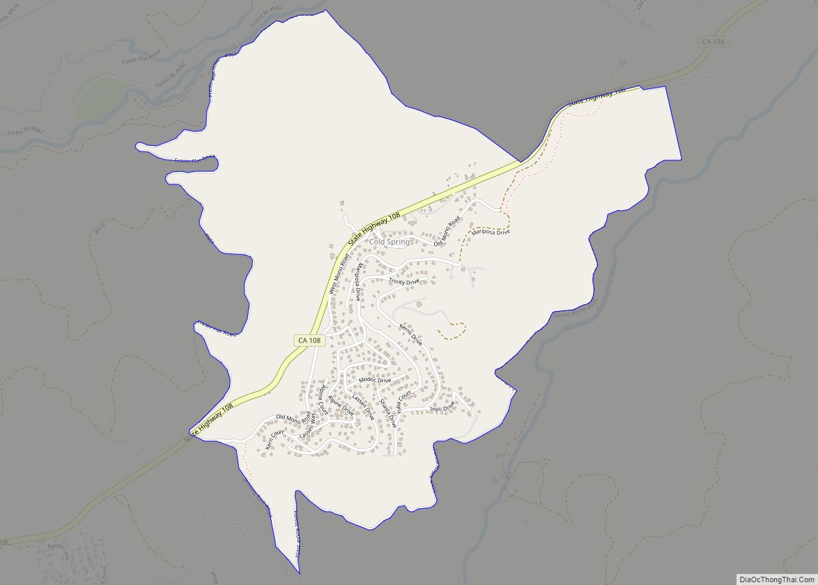
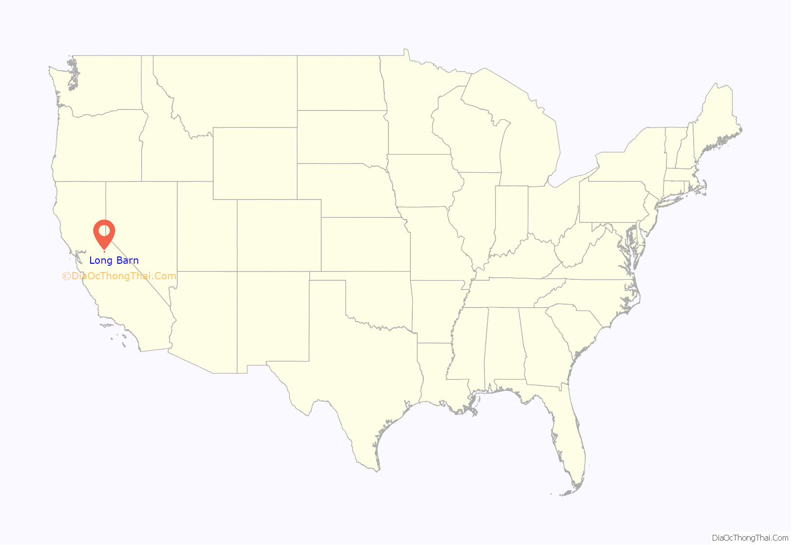
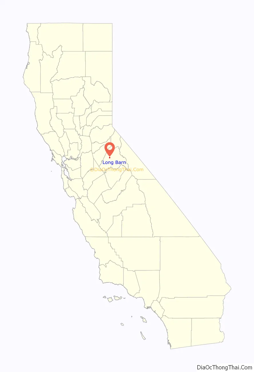
Long Barn is located roughly 4 miles northeast of Mi-Wuk Village off State Route 108.
| Name: | Long Barn CDP |
|---|---|
| LSAD Code: | 57 |
| LSAD Description: | CDP (suffix) |
| State: | California |
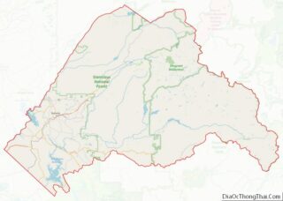
| County: | Tuolumne County |
| Elevation: | 5,043 ft (1,537 m) |
| Total Area: | 2.878 sq mi (7.455 km²) |
| Land Area: | 2.877 sq mi (7.451 km²) |
| Water Area: | 0.001 sq mi (0.004 km²) 0.05% |
| Total Population: | 155 |
| Population Density: | 54/sq mi (21/km²) |
| FIPS code: | 0642622 |
| GNISfeature ID: | 2583061 |
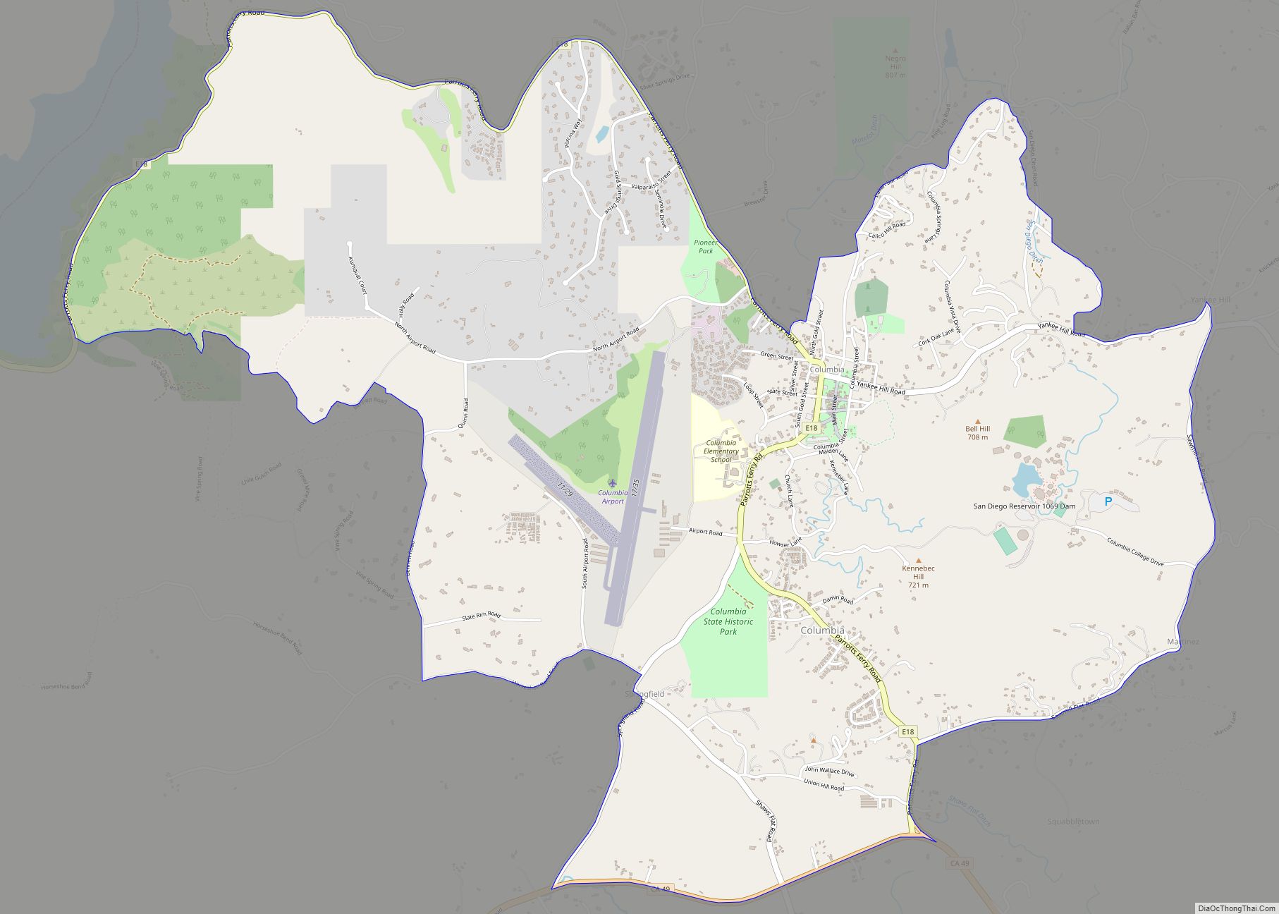
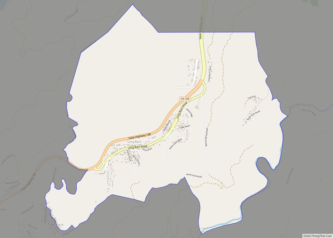
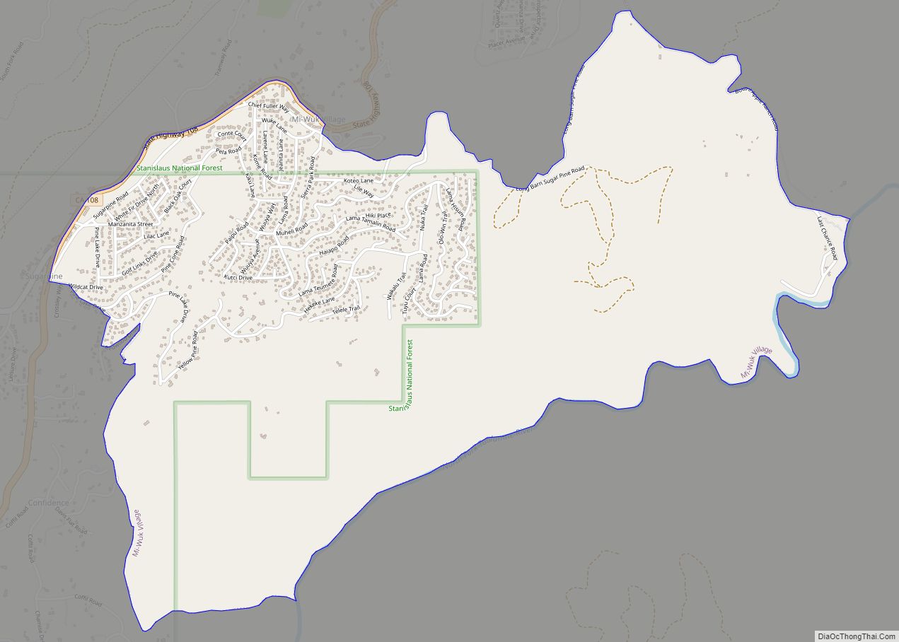
Online Interactive Map
Click on ![]() to view map in "full screen" mode.
to view map in "full screen" mode.
Long Barn location map. Where is Long Barn CDP?
History
Long Barn was a wagon stop along the Sonora Pass during the 1800s gold rush era. Pioneers traveling west would stop at “The Long Barn” where they could refresh supplies, food and rest. There is an apple orchard that was planted next to the Long Barn so that travelers could have fresh food; the apple orchard is still there. The Long Barn was torn down in the early 1970s.
The Long Barn Lodge was built in the 1920s, which included a restaurant, rooms, bar and entertainment for vacationers in the mountains. Heralded as the Four Seasons Resort along the area called Sonora Pass Vacationland, the lodge grew to include a pool, horseback riding, ice skating, hiking and more.
The historic Long Barn Lodge, the old lodge, restaurant, game room and bar burned down in 2002, and due to lack of insurance was not rebuilt. The Long Barn Lodge is still open today, with motel rooms, cabins, ice skating, swimming pool and events.
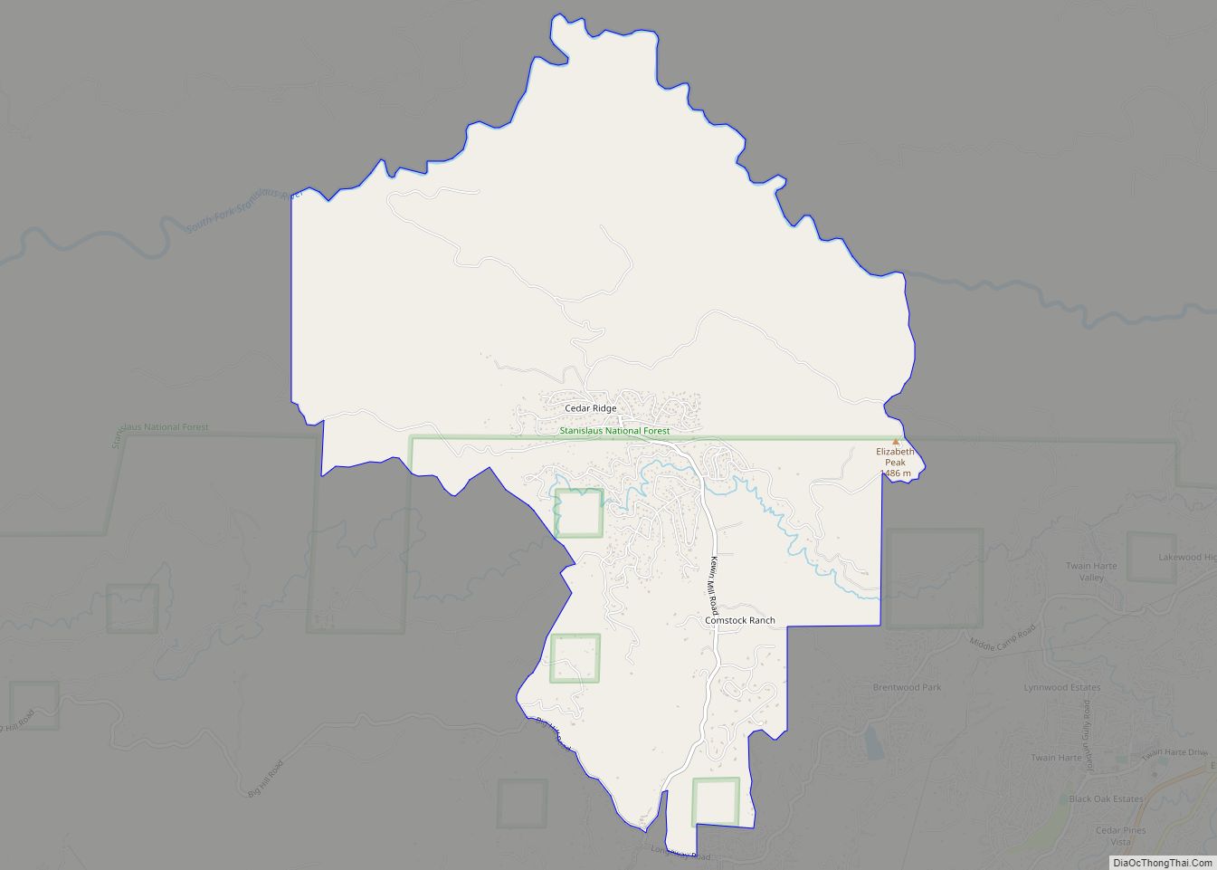
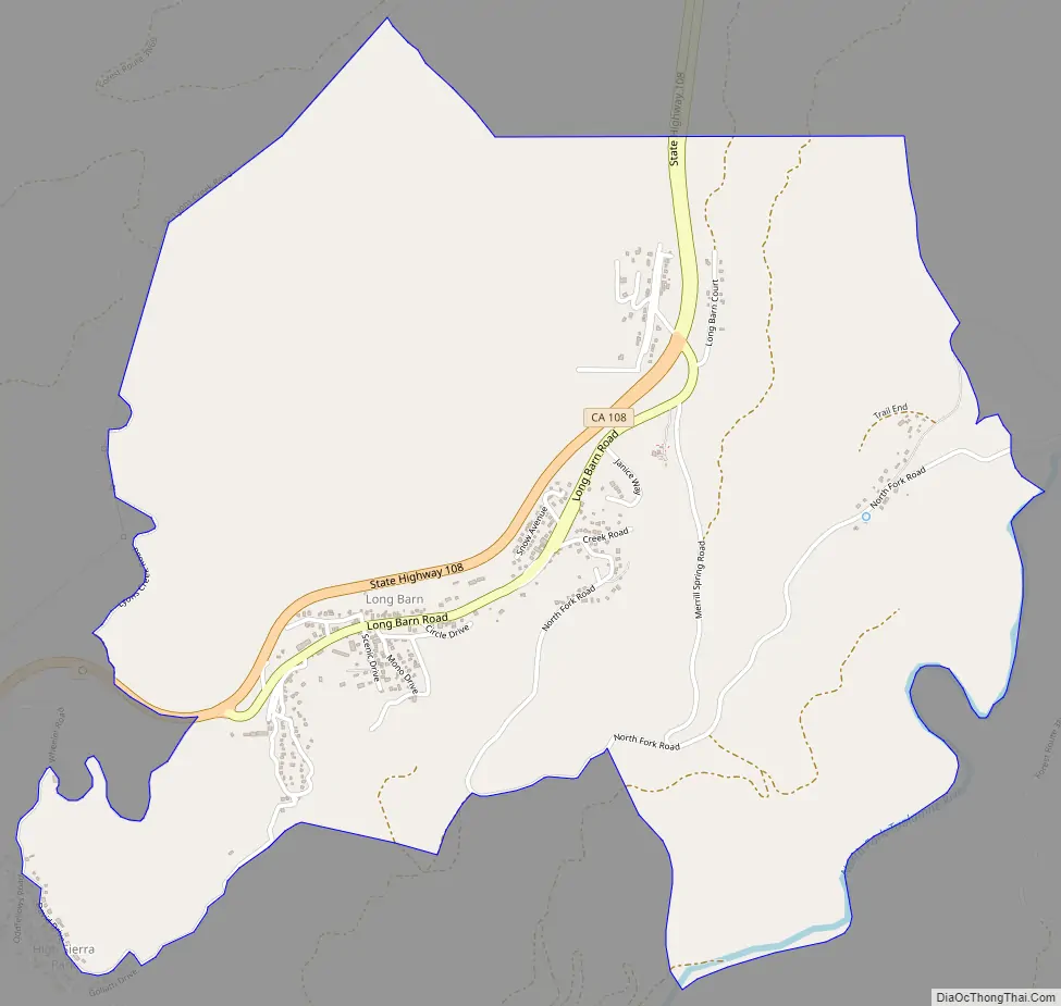
Long Barn Road Map
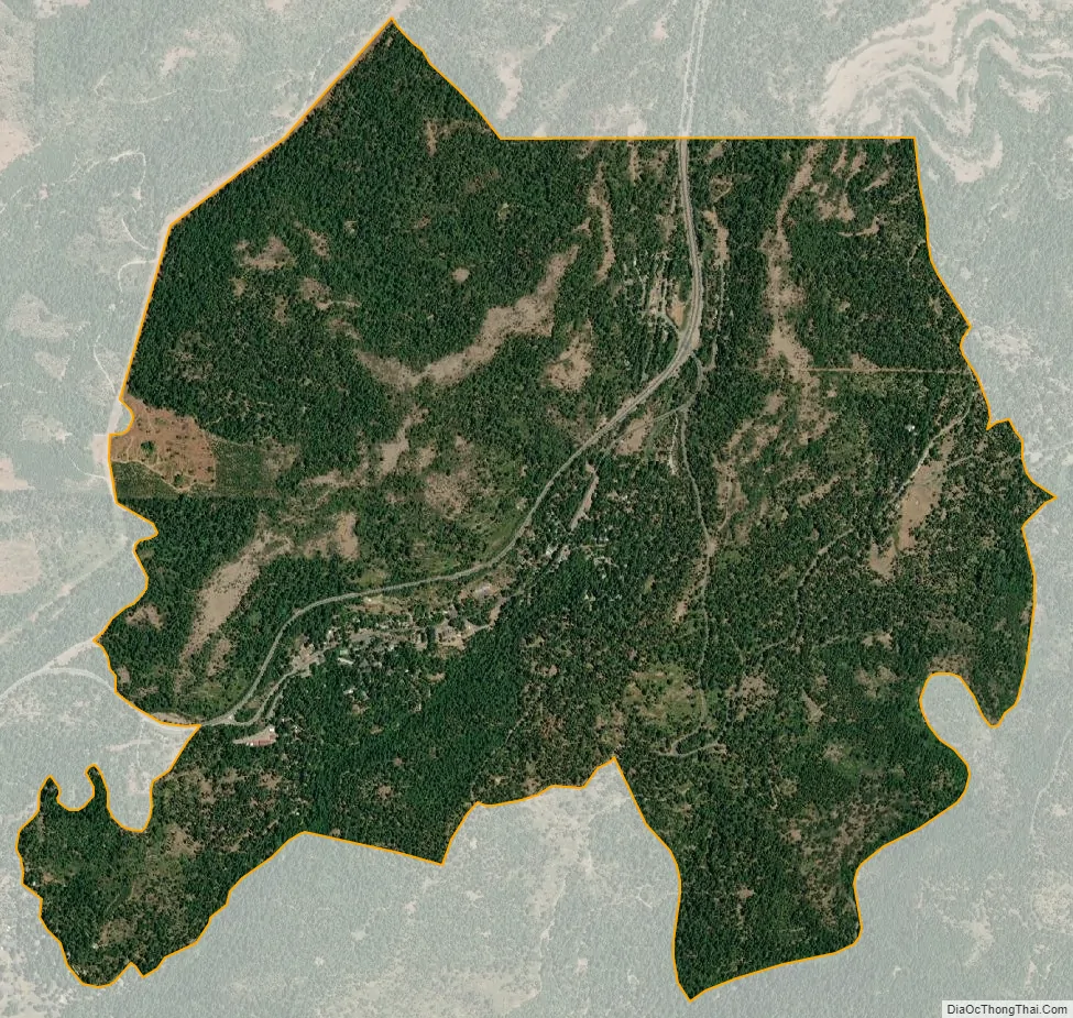
Long Barn city Satellite Map
Geography
According to the United States Census Bureau, the CDP covers an area of 2.9 square miles (7.5 km), 99.95% of it land and 0.05% of it water.
Climate
The Köppen Climate System classifies Long Barn as having a Warm-summer Mediterranean climate, abbreviated as “Csb”.
See also
Map of California State and its subdivision:- Alameda
- Alpine
- Amador
- Butte
- Calaveras
- Colusa
- Contra Costa
- Del Norte
- El Dorado
- Fresno
- Glenn
- Humboldt
- Imperial
- Inyo
- Kern
- Kings
- Lake
- Lassen
- Los Angeles
- Madera
- Marin
- Mariposa
- Mendocino
- Merced
- Modoc
- Mono
- Monterey
- Napa
- Nevada
- Orange
- Placer
- Plumas
- Riverside
- Sacramento
- San Benito
- San Bernardino
- San Diego
- San Francisco
- San Joaquin
- San Luis Obispo
- San Mateo
- Santa Barbara
- Santa Clara
- Santa Cruz
- Shasta
- Sierra
- Siskiyou
- Solano
- Sonoma
- Stanislaus
- Sutter
- Tehama
- Trinity
- Tulare
- Tuolumne
- Ventura
- Yolo
- Yuba
- Alabama
- Alaska
- Arizona
- Arkansas
- California
- Colorado
- Connecticut
- Delaware
- District of Columbia
- Florida
- Georgia
- Hawaii
- Idaho
- Illinois
- Indiana
- Iowa
- Kansas
- Kentucky
- Louisiana
- Maine
- Maryland
- Massachusetts
- Michigan
- Minnesota
- Mississippi
- Missouri
- Montana
- Nebraska
- Nevada
- New Hampshire
- New Jersey
- New Mexico
- New York
- North Carolina
- North Dakota
- Ohio
- Oklahoma
- Oregon
- Pennsylvania
- Rhode Island
- South Carolina
- South Dakota
- Tennessee
- Texas
- Utah
- Vermont
- Virginia
- Washington
- West Virginia
- Wisconsin
- Wyoming