Columbia is a census-designated place (CDP) located in the Sierra Nevada foothills in Tuolumne County, California, United States. It was founded as a boomtown in 1850 when gold was found during the California Gold Rush, and was known as the “Gem of the Southern Mines.”
The town’s historic central district is within the Columbia State Historic Park, which preserves the 19th century mining town legacy. The U.S. historic district is a National Historic Landmark District and is on the National Register of Historic Places.
| Name: | Columbia CDP |
|---|---|
| LSAD Code: | 57 |
| LSAD Description: | CDP (suffix) |
| State: | California |
| County: | Tuolumne County |
| Elevation: | 2,139 ft (652 m) |
| Total Area: | 5.98 sq mi (15.49 km²) |
| Land Area: | 5.96 sq mi (15.44 km²) |
| Water Area: | 0.02 sq mi (0.05 km²) 0.31% |
| Total Population: | 2,577 |
| Population Density: | 432.31/sq mi (166.90/km²) |
| ZIP code: | 95310 |
| Area code: | 209 |
| FIPS code: | 0614904 |
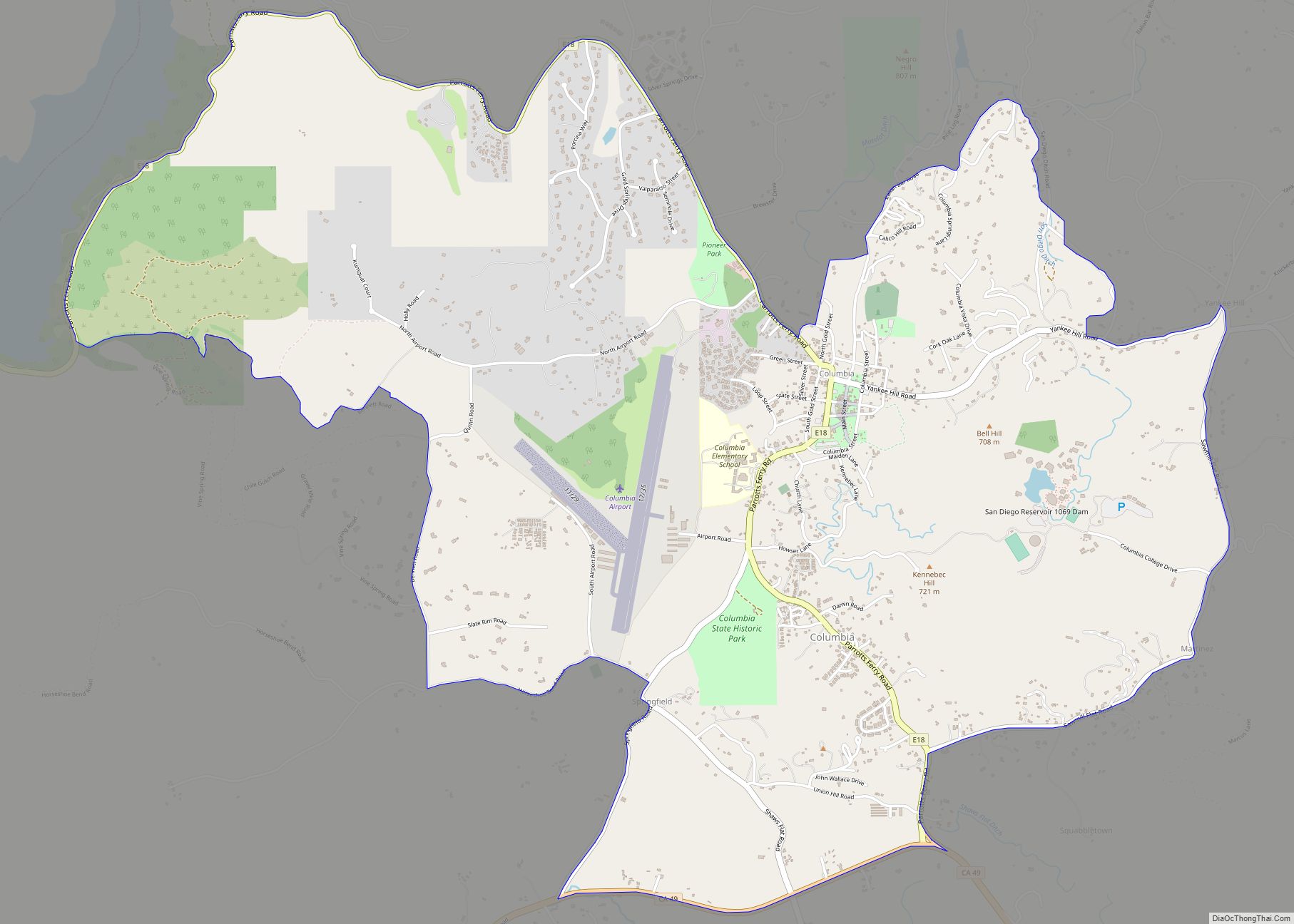
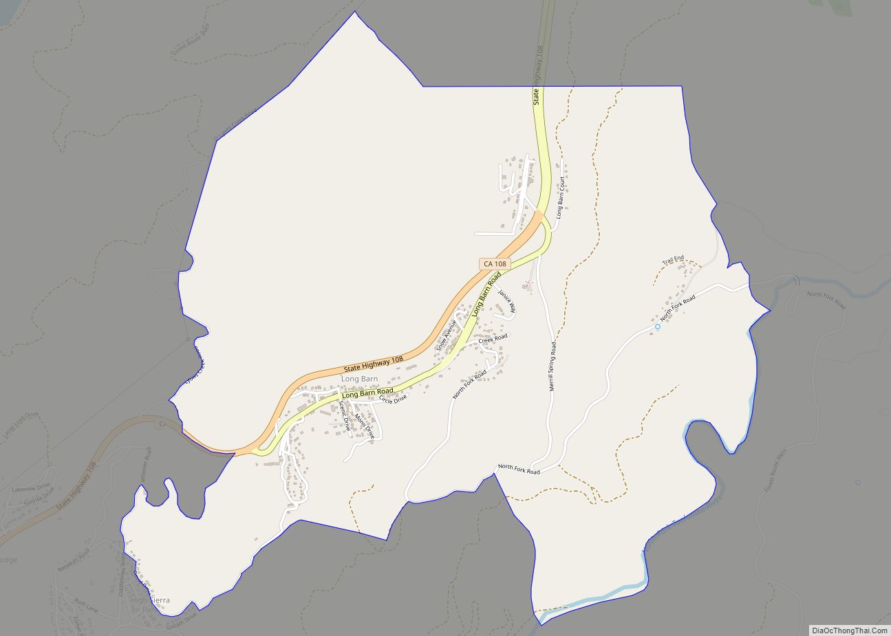
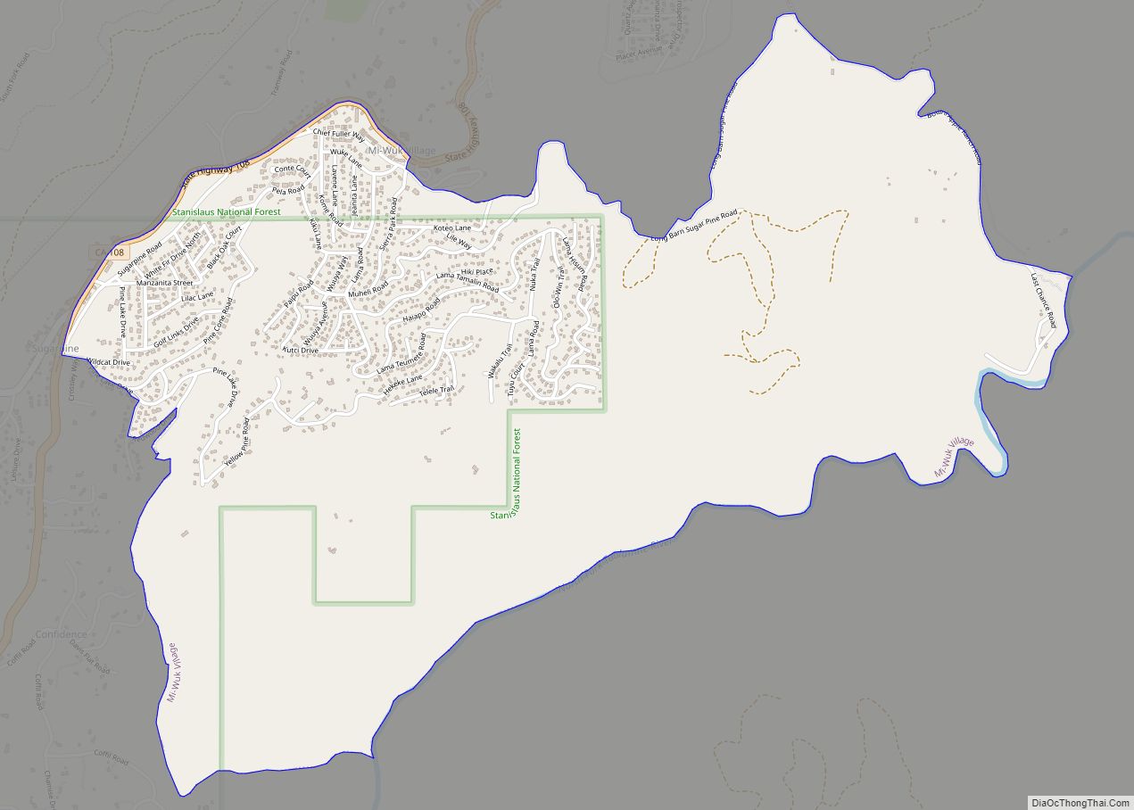
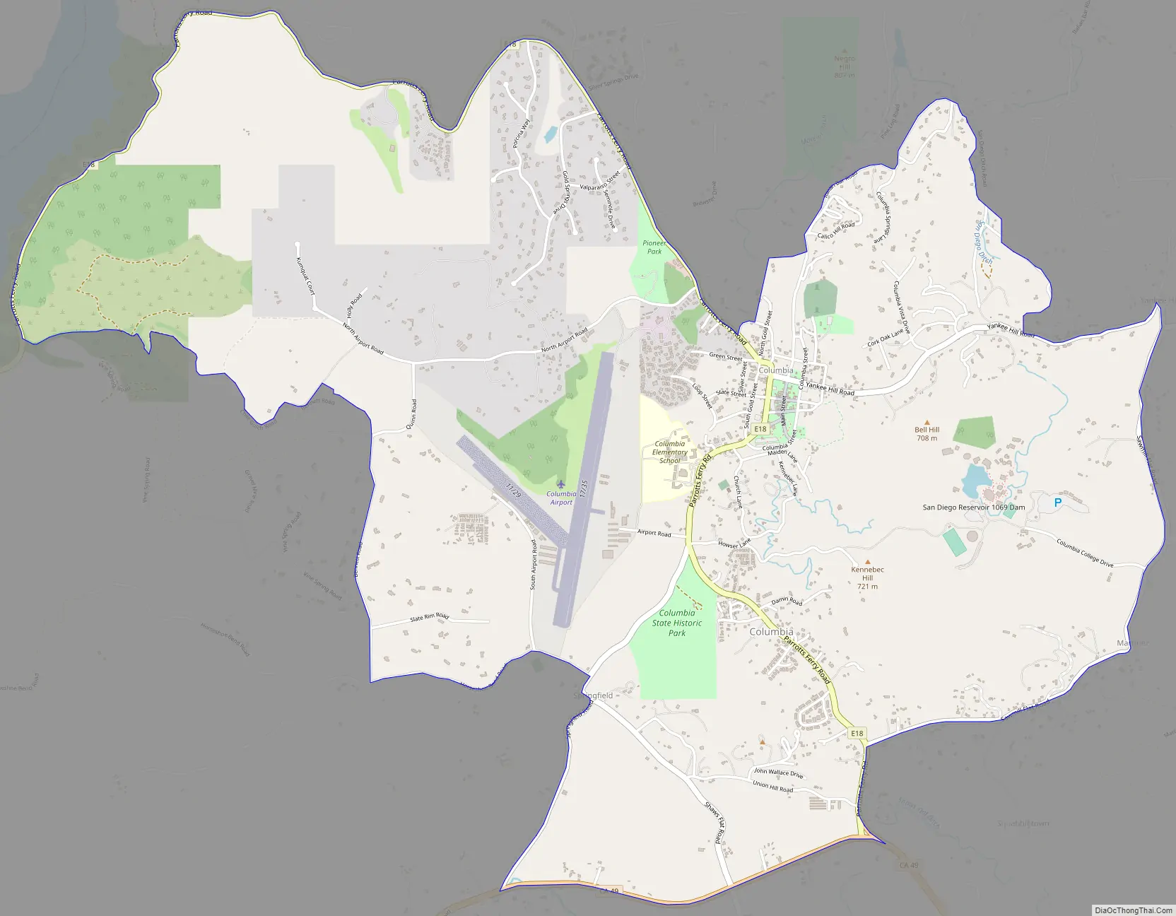
Online Interactive Map
Click on ![]() to view map in "full screen" mode.
to view map in "full screen" mode.
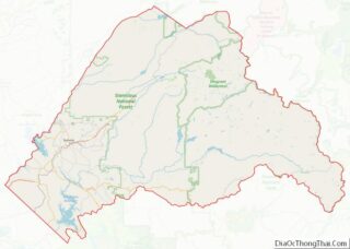
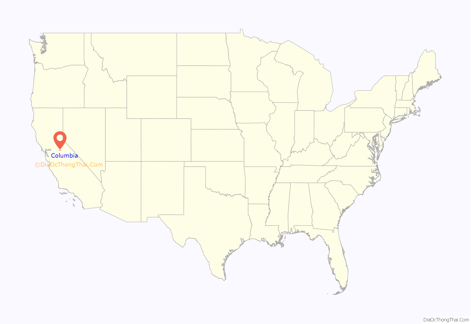
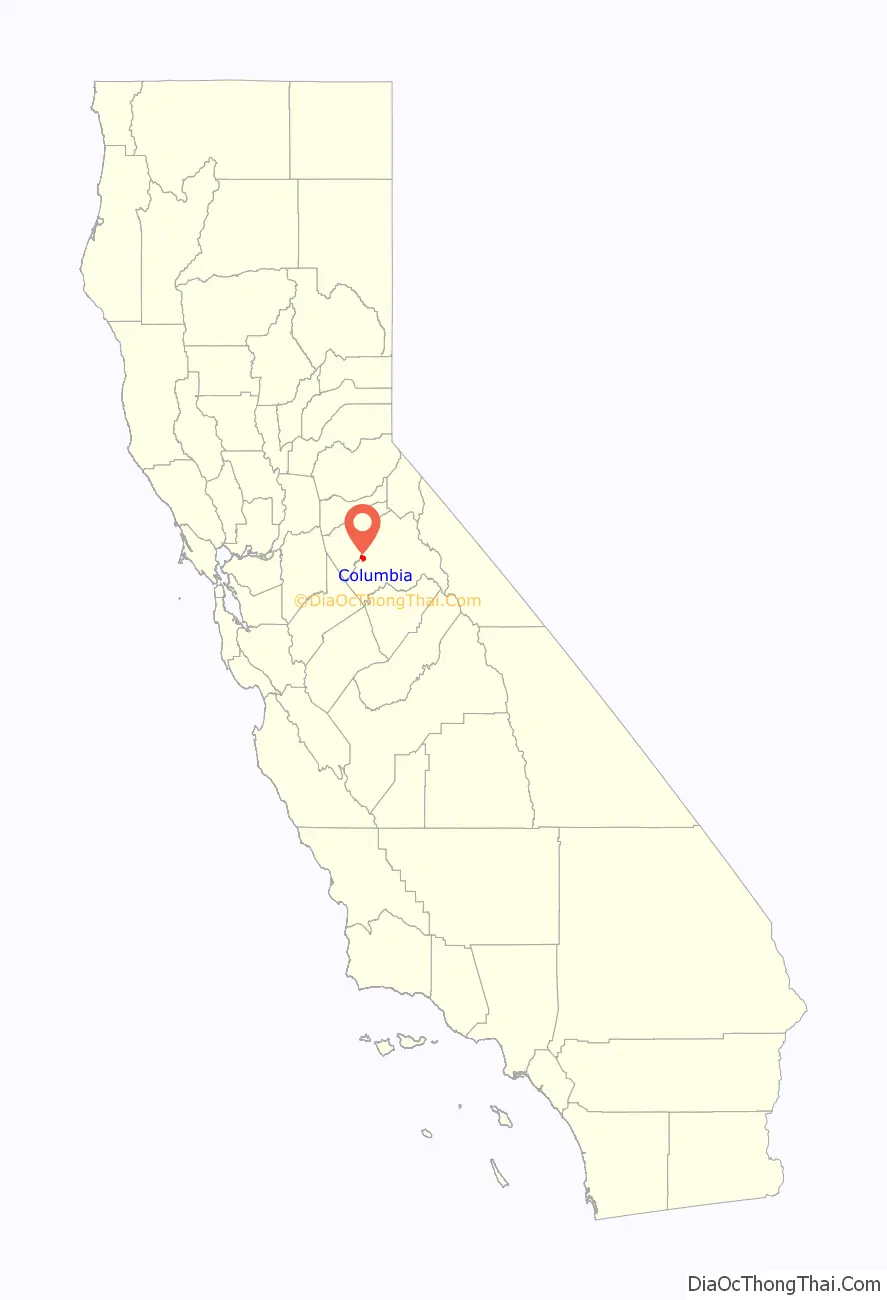
Columbia location map. Where is Columbia CDP?
History
The original indigenous people in the Columbia region were the Miwok.
Rev. John Steele wrote about his time in the gold rush era and about the “Mi-wuk” of Columbia in his memoirs In Camp and Cabin.
Within weeks of finding gold in the vicinity of Columbia, thousands of people arrived and the population climbed to 5,000. By 1852, there were 8 hotels, 4 banks, 17 general stores, 2 bookstores, 1 newspaper, 3 churches, and over 40 drinking/gambling establishments. Between 1850 and the early 1900s, $87 million in gold was removed from the surrounding hills.
In 1851, the local community brass band, a popular institution, greeted the arrival of the first “white woman” in town. Columbia had five cemeteries, including a Boot Hill, where burials were made without markers.
In 1854, Columbia’s first major fire destroyed a majority of the city. The wealthier merchants began rebuilding their business using brick with iron construction materials, the remainder of town was rebuilt of wood and canvas. In 1857, another fire burned down nearly everything else, except three brick buildings. The Columbia one-room school house was built in 1860, renovated in 1872, and finally closed in 1937. It was purchased by the state of California for $1 in 1947, and incorporated into the historic district park.
According to the 1954 episode “11,000 Miners Can’t Be Wrong” of the western anthology series Death Valley Days, Columbia lost out in an 1854 bid to become the permanent California state capitol: When Jim Hardwicke, a respected settler, informs the sheriff that he had killed a man in self-defense, Hardwicke is forced to stand trial. Because of jury tampering by a corrupt district attorney, Hardwicke was found guilty. His lawyer, Ed Barrett and his fiancée develop a bizarre scheme to free his client from the hangman’s noose; Barrett steals from a safe in the local bank a petition with 11,000 signatures of persons who at the instigation of the same district attorney want Columbia to be the capital, rewrites the first page to call for a pardon for Hardwicke and appeals to the governor, who is impressed that so many signed. The governor orders Hardwicke’s release, but Sacramento became the capital. However, the series’ episodes tended to be “based on fact” rather than historically accurate.
By 1860, the gold mined in Columbia was diminishing rapidly. The only land left to mine was in the city itself. Miners dug under buildings and tore down houses to get at the gold beneath the city. Copper deposits were found in the area, with the nearby town of Copperopolis experiencing a boom. The bricks from the destroyed buildings in Columbia were sold for new construction in Copperopolis.
In 1862, just days after the Battle of Puebla in Mexico, Columbia was the site of the first official Cinco de Mayo celebrations. According to a paper published by the UCLA Center for the Study of Latino Health and Culture about the origin of the observance of Cinco de Mayo in the United States, the modern American focus on that day first started in Columbia in response to the resistance to French rule in Mexico. “Far up in the gold country town of Columbia, California, Mexican miners were so overjoyed at the news that they spontaneously fired off rifle shots and fireworks, sang patriotic songs and made impromptu speeches.”
Columbia, in its heyday, was California’s fifth-largest city, boasting a population of about 25,000 people although only about 2,000 people now live in this region. Unlike many gold rush boomtowns, Columbia never became a ghost town. In 1934 under a state sponsored New Deal program of archaeological research, the SERA (State Emergency Relief Administration) hired 65 research workers at U.C. Berkeley’s Bancroft Library and 56 additional workers in the field to gather the necessary information to provide for the restoration of the old town. In 1945, California created Columbia State Historic Park from the remains of the historical buildings of the city.
Visitor attractions
Columbia’s main street in the historic district, part of the Columbia State Historic Park, is closed to automobile traffic, but horses, carriages, bicycles and pedestrians are welcomed. Known for the huge rock gardens left over from the hydro mining efforts in the 1800s, the area is very popular with families for picnicking and leisurely walks. The antique buildings are leased to era-themed businesses such as gold-panning, candle-dipping, iron-mongering, and crafts. There are several eating establishments, including the Fallon House Ice Cream Parlor and the Candy Store. A chicken coop with beautiful Dominique hens lends a sweet background sound to Main Street. A horse-drawn wagon ride for a fee is the main attraction. There are numerous events throughout the year; some of the notable occasions are the Fourth of July parade and Pioneer Days. Occasionally local crafters set up booths along Main Street. Costumed State Park employees and shopkeepers lend to the era-theme of the park. Picnic tables are situated throughout the downtown. There is a short hiking trail from the School House, which is located a couple of blocks from the town. The school is open with static exhibits. Two campgrounds nearby accommodate tenting and motorhomes, as well as a small general store for supplies. Two well-stocked thrift stores are within walking distance; one, Nancy’s Hope Thrift Store, is located near the airport and supports local families.
Other points of interest in the area include Columbia Community College, a two-year, community college; and the Columbia Airport (FAA designator: O22), which has one 4,670-foot (1,420 m) runway and is busy with firefighting aircraft during summer.
The annual Columbia Fire Muster here is often the earliest of California’s summer musters.
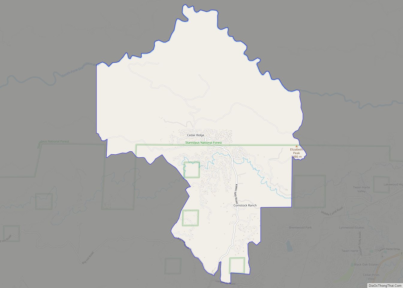
Columbia Road Map
Columbia city Satellite Map

Geography
Columbia is located along State Route 49 just north of Sonora, at an altitude of 2,139 feet (652 m).
According to the United States Census Bureau, the CDP has a total area of 6.0 square miles (16 km). Only 0.31% of the total area is covered by water.
Climate
This region experiences hot and dry summers, with no average monthly temperatures above 90.1 °F (32.3 °C). According to the Köppen Climate Classification system, Columbia has a warm-summer Mediterranean climate, abbreviated “Csb” on climate maps.
See also
Map of California State and its subdivision:- Alameda
- Alpine
- Amador
- Butte
- Calaveras
- Colusa
- Contra Costa
- Del Norte
- El Dorado
- Fresno
- Glenn
- Humboldt
- Imperial
- Inyo
- Kern
- Kings
- Lake
- Lassen
- Los Angeles
- Madera
- Marin
- Mariposa
- Mendocino
- Merced
- Modoc
- Mono
- Monterey
- Napa
- Nevada
- Orange
- Placer
- Plumas
- Riverside
- Sacramento
- San Benito
- San Bernardino
- San Diego
- San Francisco
- San Joaquin
- San Luis Obispo
- San Mateo
- Santa Barbara
- Santa Clara
- Santa Cruz
- Shasta
- Sierra
- Siskiyou
- Solano
- Sonoma
- Stanislaus
- Sutter
- Tehama
- Trinity
- Tulare
- Tuolumne
- Ventura
- Yolo
- Yuba
- Alabama
- Alaska
- Arizona
- Arkansas
- California
- Colorado
- Connecticut
- Delaware
- District of Columbia
- Florida
- Georgia
- Hawaii
- Idaho
- Illinois
- Indiana
- Iowa
- Kansas
- Kentucky
- Louisiana
- Maine
- Maryland
- Massachusetts
- Michigan
- Minnesota
- Mississippi
- Missouri
- Montana
- Nebraska
- Nevada
- New Hampshire
- New Jersey
- New Mexico
- New York
- North Carolina
- North Dakota
- Ohio
- Oklahoma
- Oregon
- Pennsylvania
- Rhode Island
- South Carolina
- South Dakota
- Tennessee
- Texas
- Utah
- Vermont
- Virginia
- Washington
- West Virginia
- Wisconsin
- Wyoming