Lost Hills (formerly, Lost Hill) is a census-designated place (CDP) in Kern County, California, United States. Lost Hills is located 42 miles (68 km) west-northwest of Bakersfield, at an elevation of 305 feet (93 m). The population was 2,412 at the 2010 census, up from 1,938 at the 2000 census. About 75% of the population is engaged in agricultural positions.
A rest stop by Interstate 5 including restaurants, gasoline stations, and motels is located about one-mile (1.6 km) from the town.
| Name: | Lost Hills CDP |
|---|---|
| LSAD Code: | 57 |
| LSAD Description: | CDP (suffix) |
| State: | California |
| County: | Kern County |
| Elevation: | 305 ft (93 m) |
| Total Area: | 5.564 sq mi (14.409 km²) |
| Land Area: | 5.552 sq mi (14.379 km²) |
| Water Area: | 0.012 sq mi (0.031 km²) 0.21% |
| Total Population: | 2,412 |
| Population Density: | 430/sq mi (170/km²) |
| ZIP code: | 93249 |
| Area code: | 661 |
| FIPS code: | 0644280 |
| GNISfeature ID: | 1660956 |
Online Interactive Map
Click on ![]() to view map in "full screen" mode.
to view map in "full screen" mode.
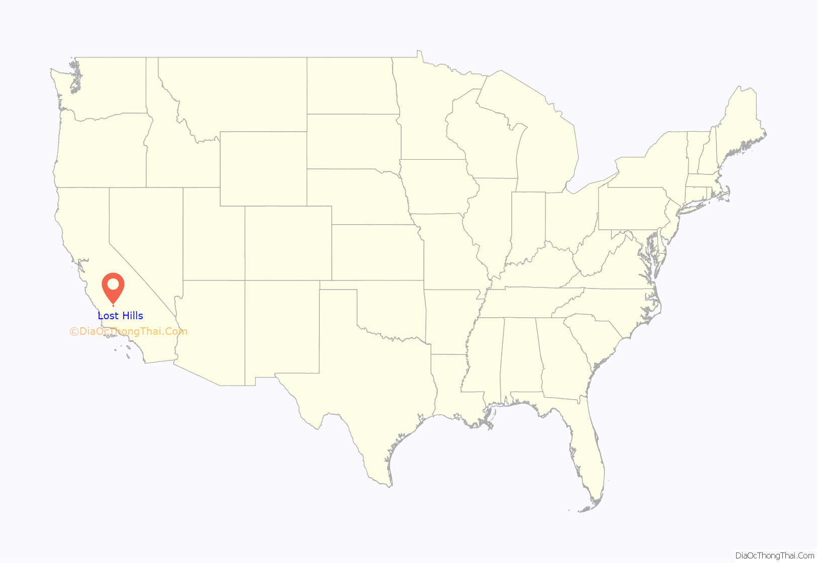
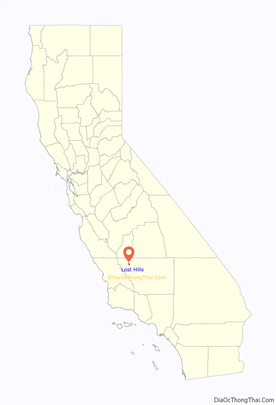
Lost Hills location map. Where is Lost Hills CDP?
History
The Lost Hills post office opened in 1911, closed in 1912, re-opened in 1913 (having transferred from Cuttens), and moved in 1937. At one time, the post office was a small rented room, in Edmondson’s cafe and bar. Later it was a small mobile-home size building.
Paramount Farms built a new park and housing development in Lost Hills in the early 2000s.
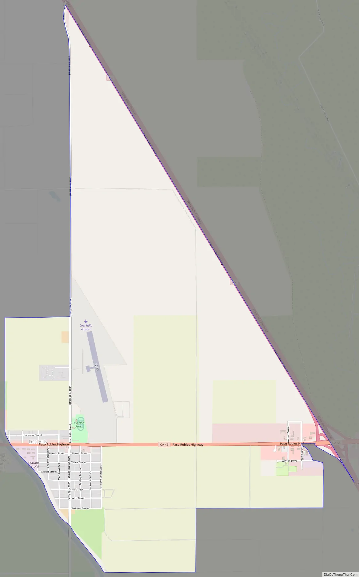
Lost Hills Road Map
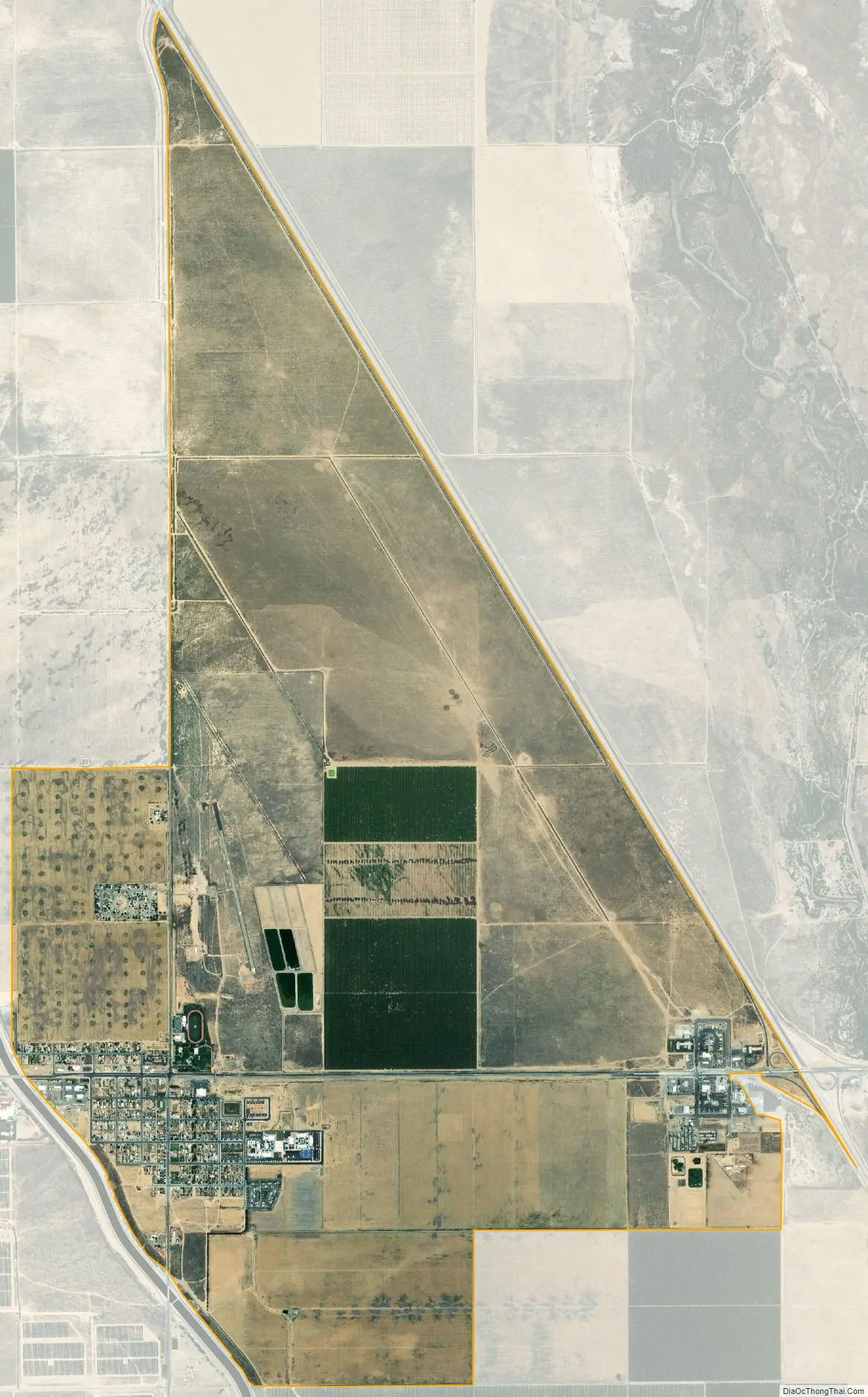
Lost Hills city Satellite Map
Geography
Lost Hills is located at 35°36′59″N 119°41′39″W / 35.61639°N 119.69417°W / 35.61639; -119.69417. It stands on the east bank of the California Aqueduct. Interstate 5 is located near, but not adjacent, to Lost Hills. The town is at the intersection of State Route 46 and Lost Hills Road. The enormous Lost Hills Oil Field, which is sixth largest by remaining reserves in California, is west and northwest of town, extending about ten miles (16 km) along the range of the low Lost Hills Range, for which the town was named.
According to the United States Census Bureau, Lost Hills has a total area of 5.6 square miles (15 km), of which over 99% is land and 0.21% is water.
Climate
According to the Köppen Climate Classification system, Lost Hills has a semi-arid climate, abbreviated “BSk” on climate maps.
See also
Map of California State and its subdivision:- Alameda
- Alpine
- Amador
- Butte
- Calaveras
- Colusa
- Contra Costa
- Del Norte
- El Dorado
- Fresno
- Glenn
- Humboldt
- Imperial
- Inyo
- Kern
- Kings
- Lake
- Lassen
- Los Angeles
- Madera
- Marin
- Mariposa
- Mendocino
- Merced
- Modoc
- Mono
- Monterey
- Napa
- Nevada
- Orange
- Placer
- Plumas
- Riverside
- Sacramento
- San Benito
- San Bernardino
- San Diego
- San Francisco
- San Joaquin
- San Luis Obispo
- San Mateo
- Santa Barbara
- Santa Clara
- Santa Cruz
- Shasta
- Sierra
- Siskiyou
- Solano
- Sonoma
- Stanislaus
- Sutter
- Tehama
- Trinity
- Tulare
- Tuolumne
- Ventura
- Yolo
- Yuba
- Alabama
- Alaska
- Arizona
- Arkansas
- California
- Colorado
- Connecticut
- Delaware
- District of Columbia
- Florida
- Georgia
- Hawaii
- Idaho
- Illinois
- Indiana
- Iowa
- Kansas
- Kentucky
- Louisiana
- Maine
- Maryland
- Massachusetts
- Michigan
- Minnesota
- Mississippi
- Missouri
- Montana
- Nebraska
- Nevada
- New Hampshire
- New Jersey
- New Mexico
- New York
- North Carolina
- North Dakota
- Ohio
- Oklahoma
- Oregon
- Pennsylvania
- Rhode Island
- South Carolina
- South Dakota
- Tennessee
- Texas
- Utah
- Vermont
- Virginia
- Washington
- West Virginia
- Wisconsin
- Wyoming


