Maricopa is a city in Kern County, California. Maricopa is located 6.5 miles (10 km) south-southeast of Taft, at an elevation of 883 feet (269 m). The population was 1,154 at the 2010 census, up from 1,111 at the 2000 census. The Carrizo Plain is located to the northwest, and the enormous Midway-Sunset Oil Field, the third largest oil field in the United States, is adjacent on the north and east.
| Name: | Maricopa city |
|---|---|
| LSAD Code: | 25 |
| LSAD Description: | city (suffix) |
| State: | California |
| County: | Kern County |
| Incorporated: | July 25, 1911 |
| Elevation: | 883 ft (269 m) |
| Total Area: | 1.50 sq mi (3.89 km²) |
| Land Area: | 1.50 sq mi (3.89 km²) |
| Water Area: | 0.00 sq mi (0.00 km²) 0% |
| Total Population: | 1,154 |
| Population Density: | 793.61/sq mi (306.46/km²) |
| ZIP code: | 93252 |
| Area code: | 661 |
| FIPS code: | 0645736 |
| Website: | www.cityofmaricopa.org |
Online Interactive Map
Click on ![]() to view map in "full screen" mode.
to view map in "full screen" mode.
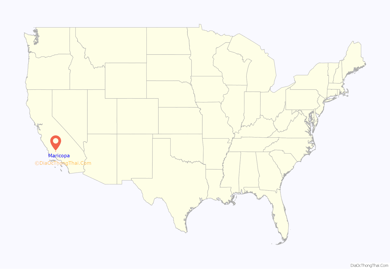
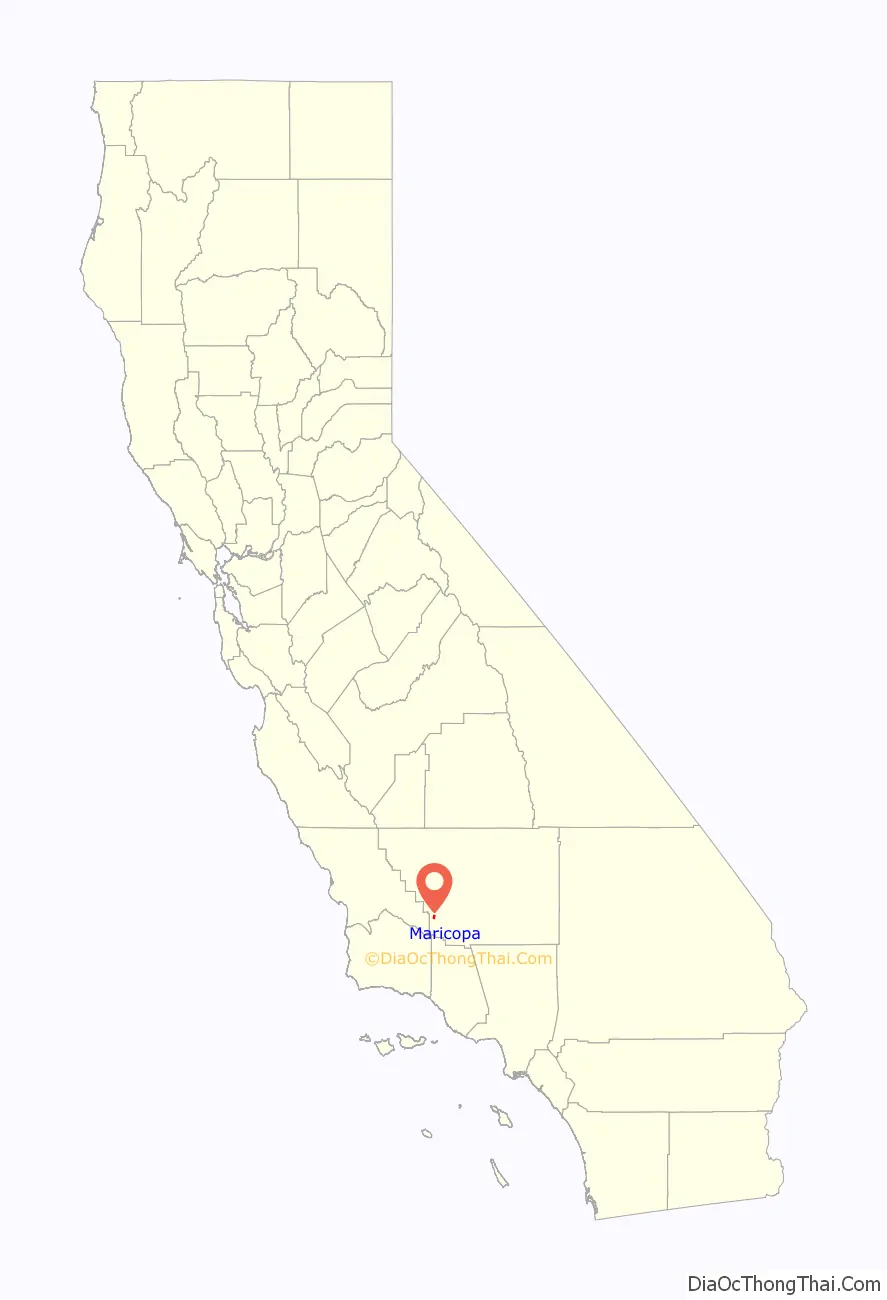
Maricopa location map. Where is Maricopa city?
History
The first post office opened in 1901, and Maricopa incorporated in 1911. The city was named after the Maricopa Indians.
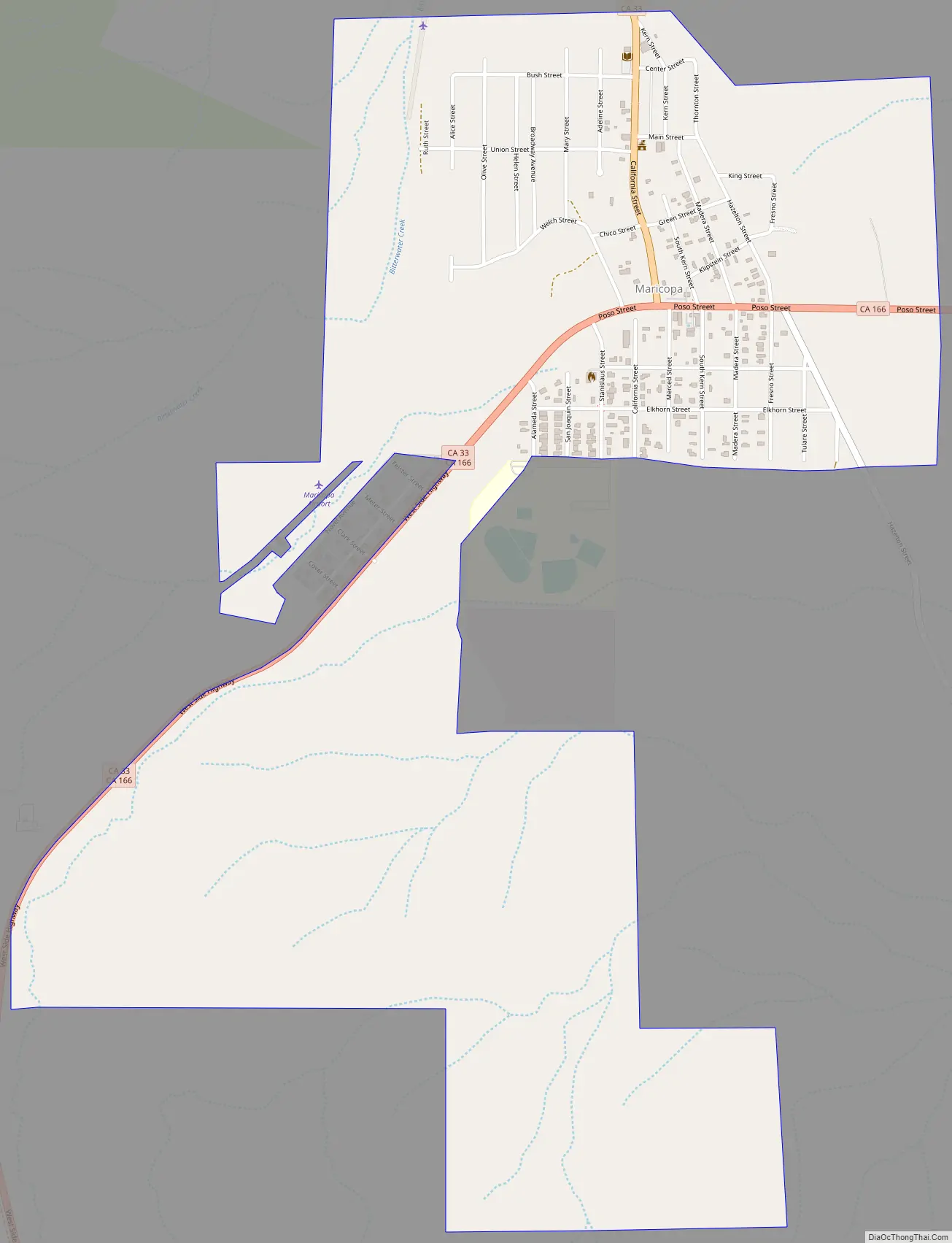
Maricopa Road Map
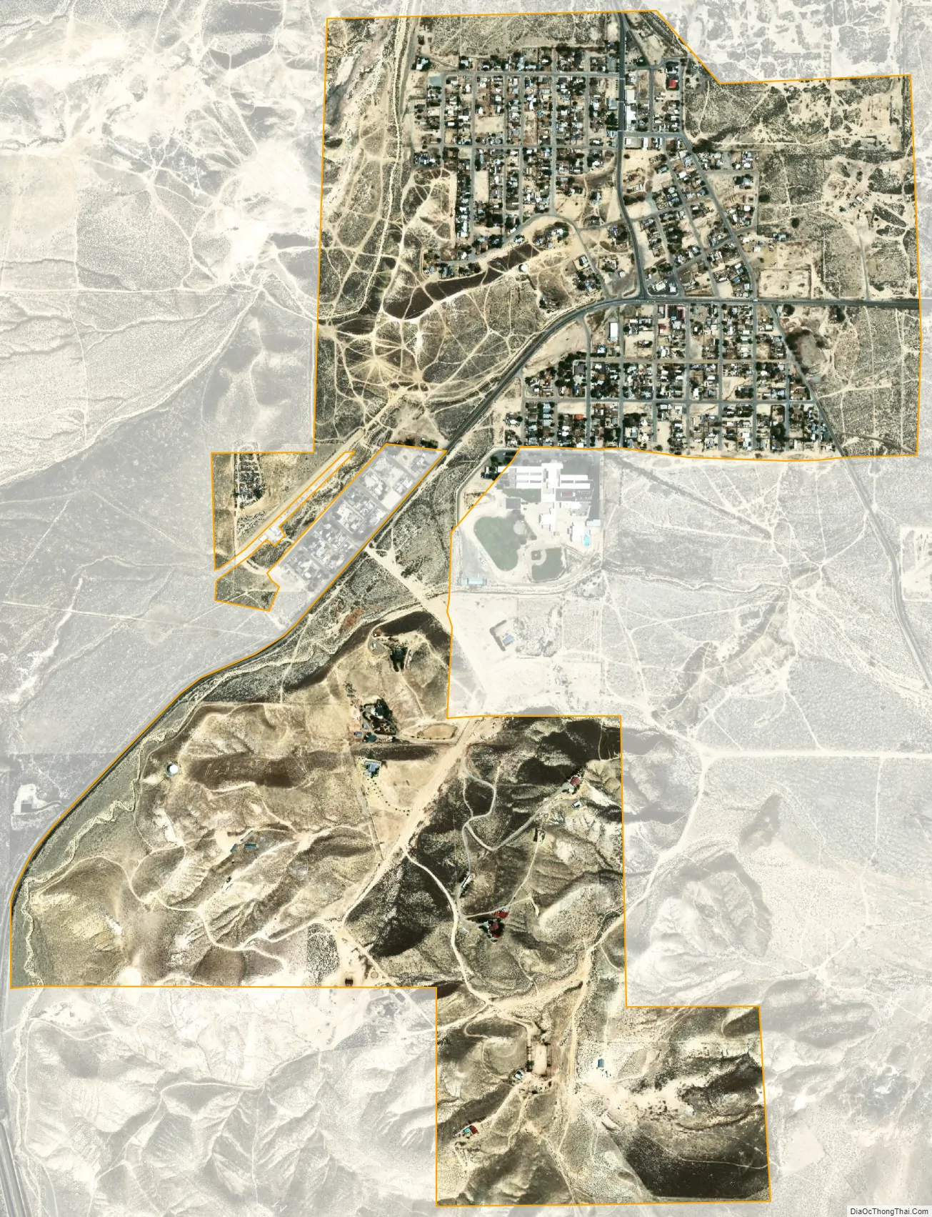
Maricopa city Satellite Map
Geography
According to the United States Census Bureau, the city has a total area of 1.5 square miles (3.9 km), all of it land. Maricopa is in the extreme southwestern corner of the San Joaquin Valley, on the first rise of land into the foothills of the Coast Ranges, with the Temblor Range, following the San Andreas Fault, trending northwest of town, and the San Emigdio Mountains to the southeast. The climate of the area is hot and semi-arid, with summertime temperatures routinely exceeding 100 °F (38 °C). Freezes occur in the winter, with the mean period without freezes being about 275 days. About six inches of rain falls annually in Maricopa.
See also
Map of California State and its subdivision:- Alameda
- Alpine
- Amador
- Butte
- Calaveras
- Colusa
- Contra Costa
- Del Norte
- El Dorado
- Fresno
- Glenn
- Humboldt
- Imperial
- Inyo
- Kern
- Kings
- Lake
- Lassen
- Los Angeles
- Madera
- Marin
- Mariposa
- Mendocino
- Merced
- Modoc
- Mono
- Monterey
- Napa
- Nevada
- Orange
- Placer
- Plumas
- Riverside
- Sacramento
- San Benito
- San Bernardino
- San Diego
- San Francisco
- San Joaquin
- San Luis Obispo
- San Mateo
- Santa Barbara
- Santa Clara
- Santa Cruz
- Shasta
- Sierra
- Siskiyou
- Solano
- Sonoma
- Stanislaus
- Sutter
- Tehama
- Trinity
- Tulare
- Tuolumne
- Ventura
- Yolo
- Yuba
- Alabama
- Alaska
- Arizona
- Arkansas
- California
- Colorado
- Connecticut
- Delaware
- District of Columbia
- Florida
- Georgia
- Hawaii
- Idaho
- Illinois
- Indiana
- Iowa
- Kansas
- Kentucky
- Louisiana
- Maine
- Maryland
- Massachusetts
- Michigan
- Minnesota
- Mississippi
- Missouri
- Montana
- Nebraska
- Nevada
- New Hampshire
- New Jersey
- New Mexico
- New York
- North Carolina
- North Dakota
- Ohio
- Oklahoma
- Oregon
- Pennsylvania
- Rhode Island
- South Carolina
- South Dakota
- Tennessee
- Texas
- Utah
- Vermont
- Virginia
- Washington
- West Virginia
- Wisconsin
- Wyoming


