Martell (formerly Oneida) is a census-designated place in Amador County, California, United States. It is located 1.5 miles (2.4 km) northwest of Jackson, at an elevation of 1486 feet (453 m). The population was 282 at the 2010 census.
Martell is located west of Jackson and east of Ione, by which it is connected by the Amador Central Railroad. Martell is where several major retail outlets for Amador County are located, including Wal-Mart, Safeway and Lowe’s. McDonald’s, Burger King, Starbucks, Baskin-Robbins, Jack in the Box and Subway are restaurant chains in town. The community is in ZIP code 95654 and area code 209.
| Name: | Martell CDP |
|---|---|
| LSAD Code: | 57 |
| LSAD Description: | CDP (suffix) |
| State: | California |
| County: | Amador County |
| Elevation: | 1,486 ft (453 m) |
| Total Area: | 2.337 sq mi (6.054 km²) |
| Land Area: | 2.336 sq mi (6.051 km²) |
| Water Area: | 0.001 sq mi (0.003 km²) 0.04% |
| Total Population: | 282 |
| Population Density: | 120/sq mi (47/km²) |
| ZIP code: | 95654 |
| Area code: | 209 |
| FIPS code: | 0646100 |
| GNISfeature ID: | 228158 |
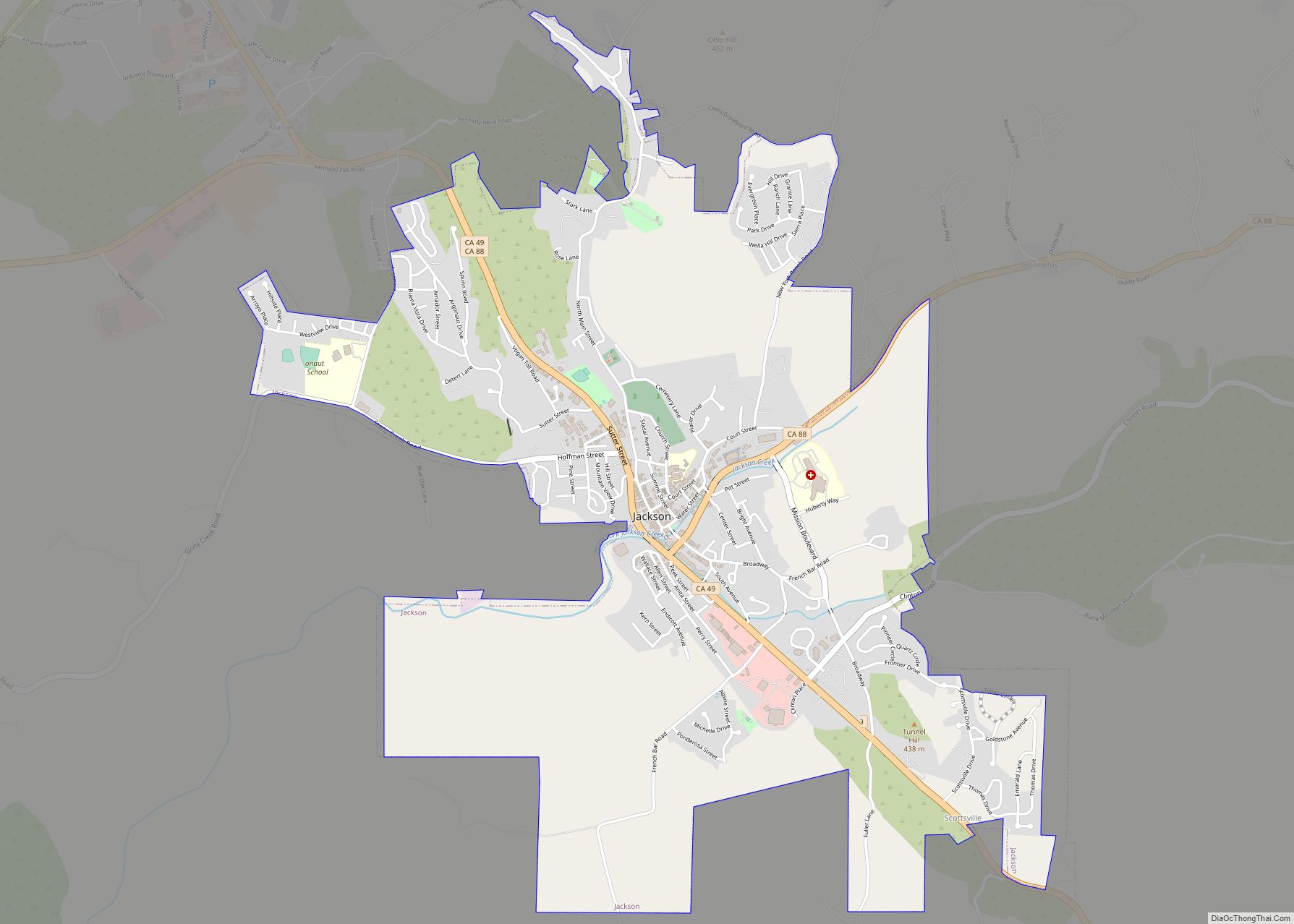
Online Interactive Map
Click on ![]() to view map in "full screen" mode.
to view map in "full screen" mode.
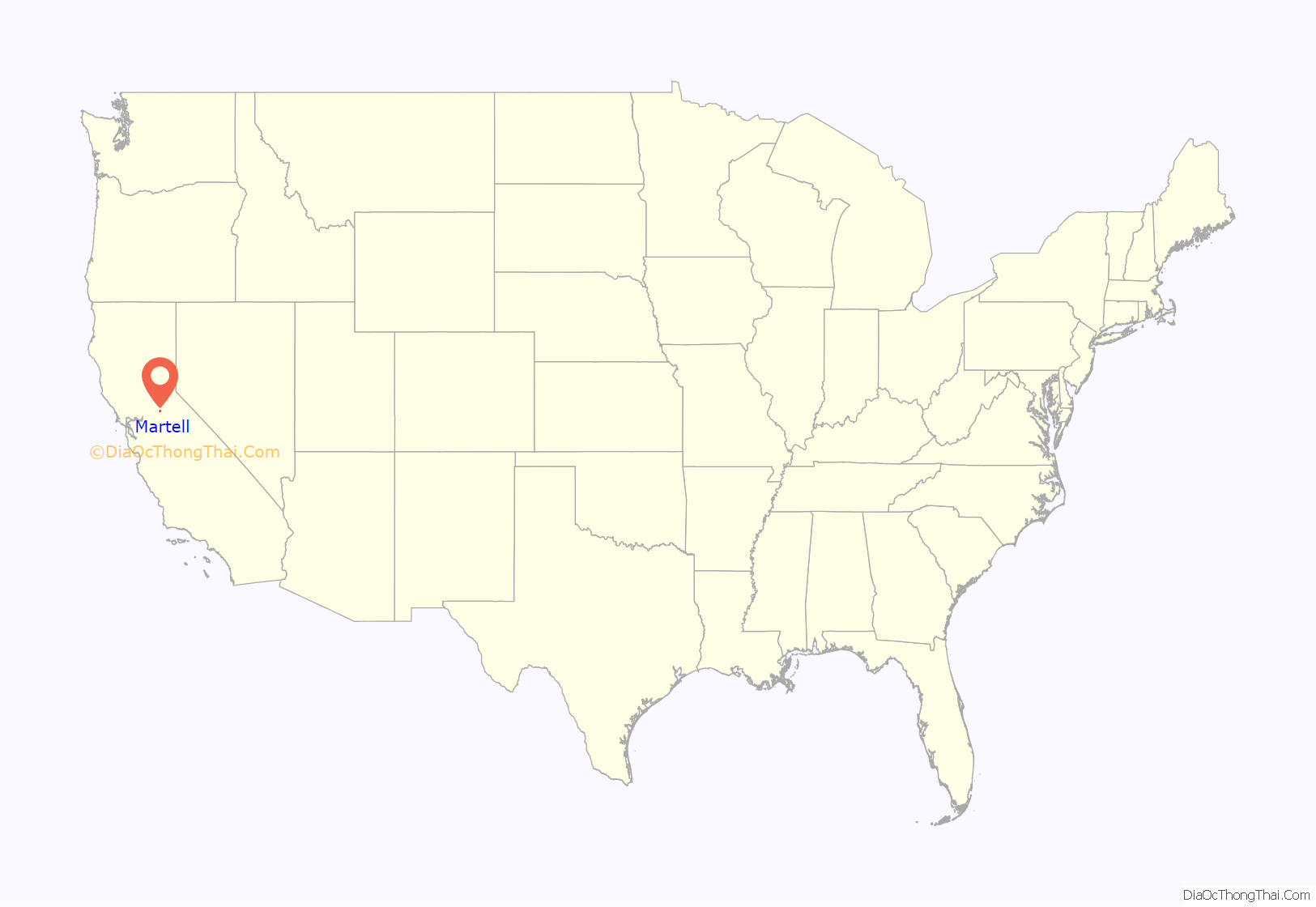
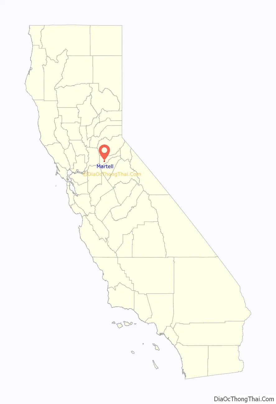
Martell location map. Where is Martell CDP?
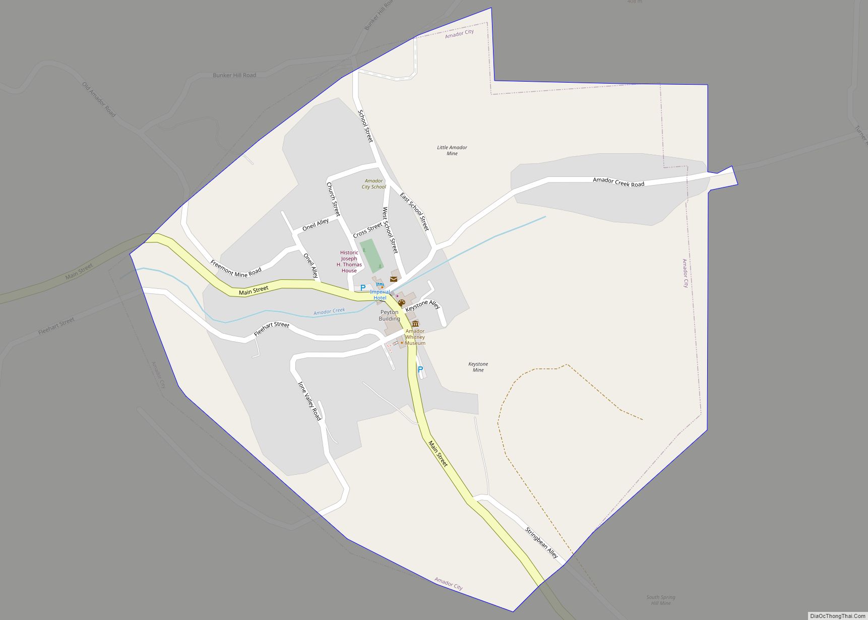
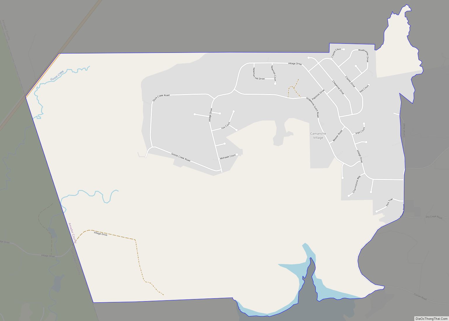
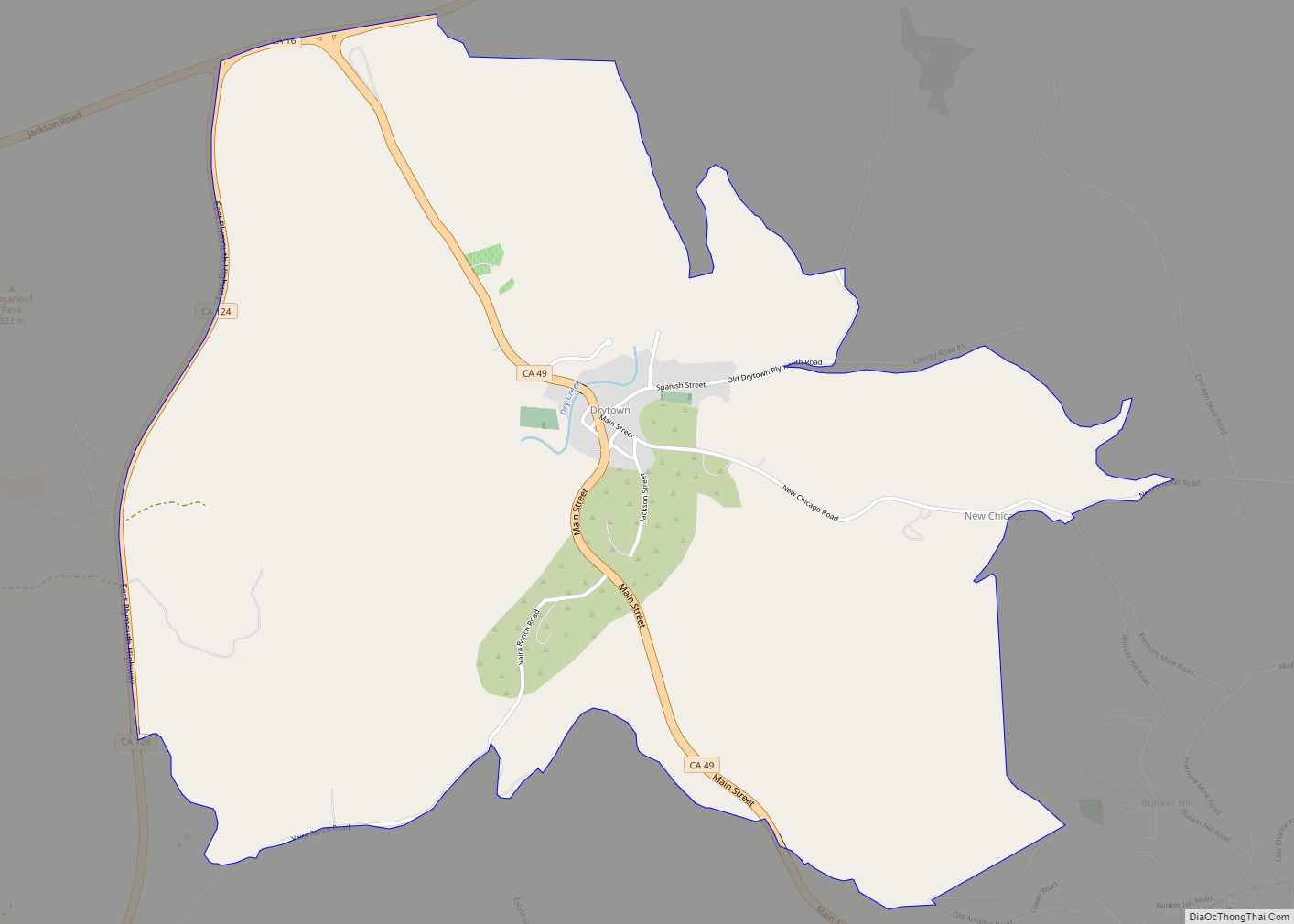
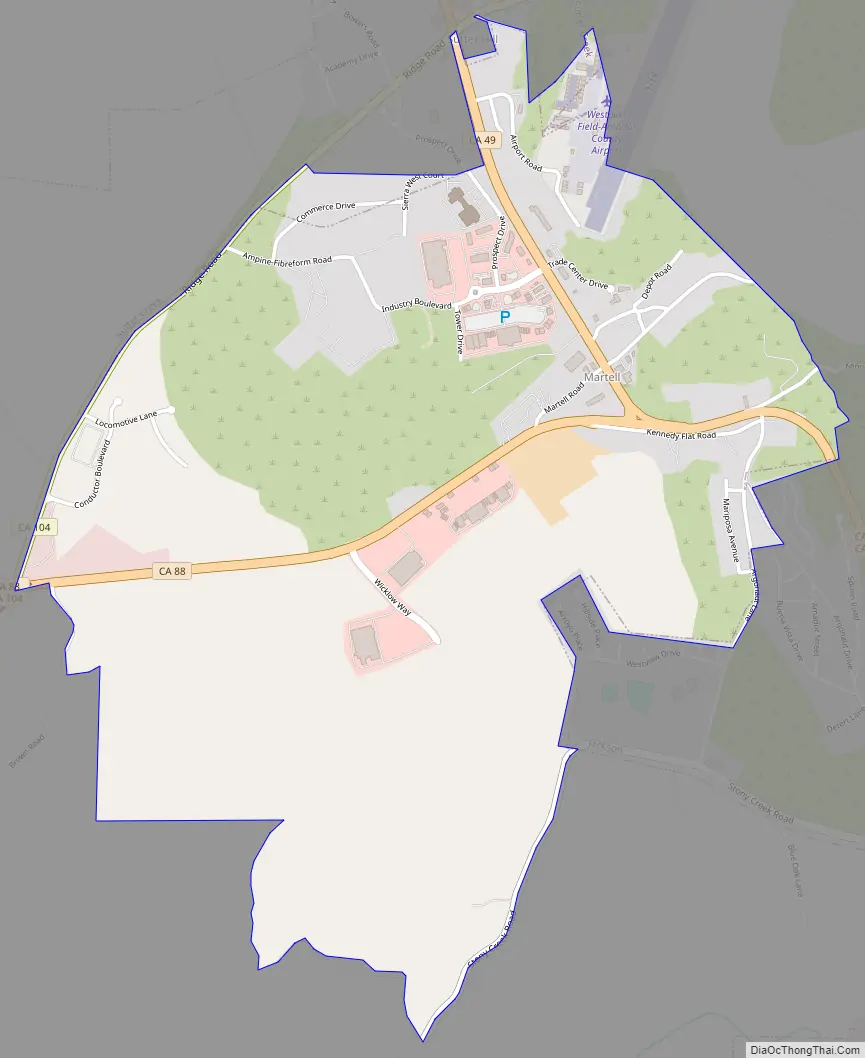
Martell Road Map
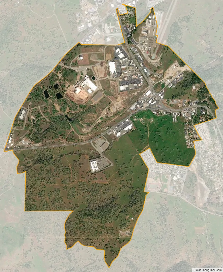
Martell city Satellite Map
See also
Map of California State and its subdivision:- Alameda
- Alpine
- Amador
- Butte
- Calaveras
- Colusa
- Contra Costa
- Del Norte
- El Dorado
- Fresno
- Glenn
- Humboldt
- Imperial
- Inyo
- Kern
- Kings
- Lake
- Lassen
- Los Angeles
- Madera
- Marin
- Mariposa
- Mendocino
- Merced
- Modoc
- Mono
- Monterey
- Napa
- Nevada
- Orange
- Placer
- Plumas
- Riverside
- Sacramento
- San Benito
- San Bernardino
- San Diego
- San Francisco
- San Joaquin
- San Luis Obispo
- San Mateo
- Santa Barbara
- Santa Clara
- Santa Cruz
- Shasta
- Sierra
- Siskiyou
- Solano
- Sonoma
- Stanislaus
- Sutter
- Tehama
- Trinity
- Tulare
- Tuolumne
- Ventura
- Yolo
- Yuba
- Alabama
- Alaska
- Arizona
- Arkansas
- California
- Colorado
- Connecticut
- Delaware
- District of Columbia
- Florida
- Georgia
- Hawaii
- Idaho
- Illinois
- Indiana
- Iowa
- Kansas
- Kentucky
- Louisiana
- Maine
- Maryland
- Massachusetts
- Michigan
- Minnesota
- Mississippi
- Missouri
- Montana
- Nebraska
- Nevada
- New Hampshire
- New Jersey
- New Mexico
- New York
- North Carolina
- North Dakota
- Ohio
- Oklahoma
- Oregon
- Pennsylvania
- Rhode Island
- South Carolina
- South Dakota
- Tennessee
- Texas
- Utah
- Vermont
- Virginia
- Washington
- West Virginia
- Wisconsin
- Wyoming