Mather (/ˈmeɪ.θər/ MAY-ther) is a census-designated place in Sacramento County, California. Mather sits at an elevation of 108 feet (33 m). The 2010 United States census reported Mather’s population was 4,451. It is the site of the former Mather Air Force Base, closed by the federal government in 1993.
| Name: | Mather CDP |
|---|---|
| LSAD Code: | 57 |
| LSAD Description: | CDP (suffix) |
| State: | California |
| County: | Sacramento County |
| Elevation: | 108 ft (33 m) |
| Total Area: | 10.026 sq mi (25.967 km²) |
| Land Area: | 10.001 sq mi (25.902 km²) |
| Water Area: | 0.025 sq mi (0.065 km²) 0.25% |
| Total Population: | 4,698 |
| Population Density: | 470/sq mi (180/km²) |
| FIPS code: | 0646226 |
| GNISfeature ID: | 2583073 |
Online Interactive Map
Click on ![]() to view map in "full screen" mode.
to view map in "full screen" mode.
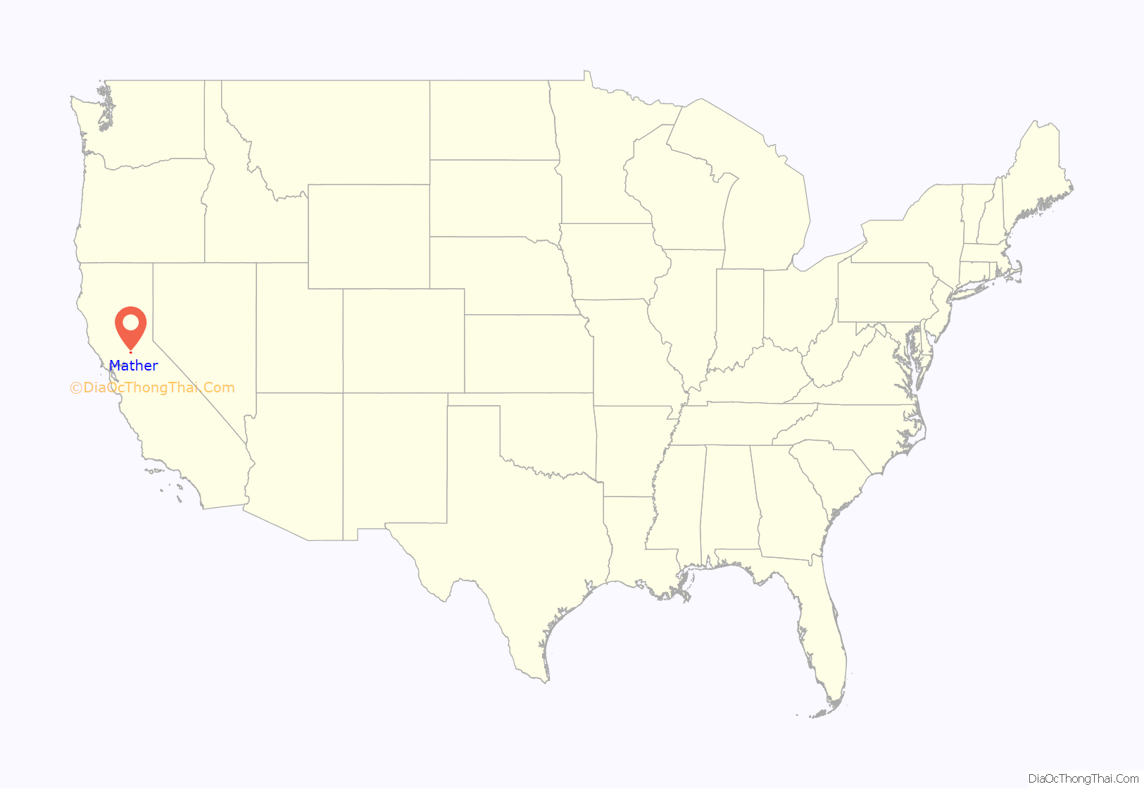
Mather location map. Where is Mather CDP?
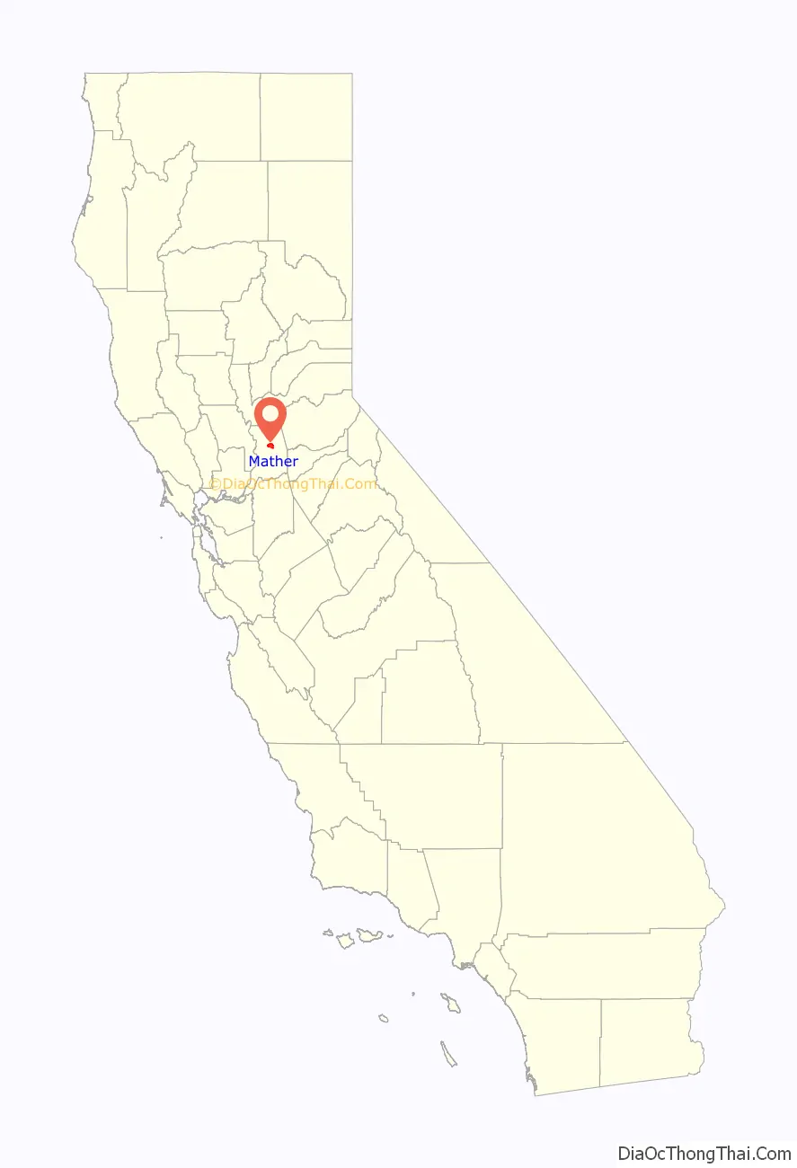
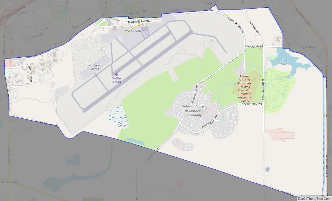
Mather Road Map
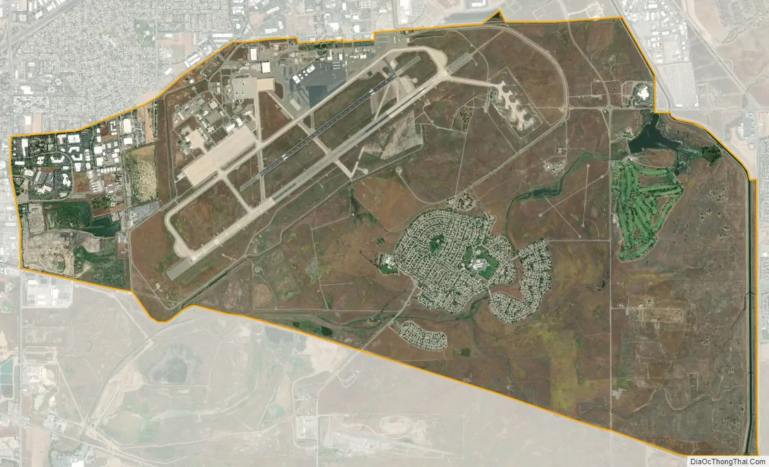
Mather city Satellite Map
Geography
According to the United States Census Bureau, the CDP covers an area of 10.0 square miles (26.0 km), 99.75% of it land and 0.25% of it water.
Climate
The climate of Mather is Mediterranean, characterized by hot, dry summers, at times exceeding 100 °F or 37.8 °C, and mild, rainy winters, with lows at night falling below freezing at times.
See also
Map of California State and its subdivision:- Alameda
- Alpine
- Amador
- Butte
- Calaveras
- Colusa
- Contra Costa
- Del Norte
- El Dorado
- Fresno
- Glenn
- Humboldt
- Imperial
- Inyo
- Kern
- Kings
- Lake
- Lassen
- Los Angeles
- Madera
- Marin
- Mariposa
- Mendocino
- Merced
- Modoc
- Mono
- Monterey
- Napa
- Nevada
- Orange
- Placer
- Plumas
- Riverside
- Sacramento
- San Benito
- San Bernardino
- San Diego
- San Francisco
- San Joaquin
- San Luis Obispo
- San Mateo
- Santa Barbara
- Santa Clara
- Santa Cruz
- Shasta
- Sierra
- Siskiyou
- Solano
- Sonoma
- Stanislaus
- Sutter
- Tehama
- Trinity
- Tulare
- Tuolumne
- Ventura
- Yolo
- Yuba
- Alabama
- Alaska
- Arizona
- Arkansas
- California
- Colorado
- Connecticut
- Delaware
- District of Columbia
- Florida
- Georgia
- Hawaii
- Idaho
- Illinois
- Indiana
- Iowa
- Kansas
- Kentucky
- Louisiana
- Maine
- Maryland
- Massachusetts
- Michigan
- Minnesota
- Mississippi
- Missouri
- Montana
- Nebraska
- Nevada
- New Hampshire
- New Jersey
- New Mexico
- New York
- North Carolina
- North Dakota
- Ohio
- Oklahoma
- Oregon
- Pennsylvania
- Rhode Island
- South Carolina
- South Dakota
- Tennessee
- Texas
- Utah
- Vermont
- Virginia
- Washington
- West Virginia
- Wisconsin
- Wyoming


