McClellan Park is a census-designated place (CDP) in Sacramento County, California. McClellan Park sits at an elevation of 69 feet (21 m). The 2010 United States Census reported that McClellan Park’s population was 743. It is the site of the former McClellan Air Force Base, closed by the federal government in 2003. McClellan Air Force Base (currently McClellan Park) was named in honor of test pilot Hezekiah McClellan. According to the United States Census Bureau, the CDP covers an area of 4.1 square miles (10.5 km), all of it land. Its closest neighbor is North Highlands.
| Name: | McClellan Park CDP |
|---|---|
| LSAD Code: | 57 |
| LSAD Description: | CDP (suffix) |
| State: | California |
| County: | Sacramento County |
| Elevation: | 69 ft (21 m) |
| Total Area: | 4.050 sq mi (10.490 km²) |
| Land Area: | 4.050 sq mi (10.490 km²) |
| Water Area: | 0 sq mi (0 km²) 0% |
| Total Population: | 926 |
| ZIP code: | 95652 |
| Area code: | 279 & 916 |
| FIPS code: | 0644760 |
| GNISfeature ID: | 2583067 |
Online Interactive Map
Click on ![]() to view map in "full screen" mode.
to view map in "full screen" mode.
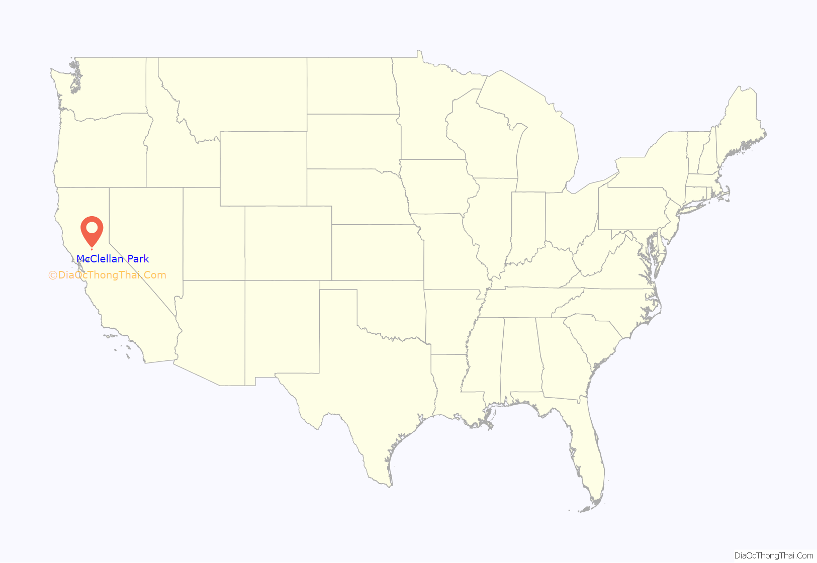
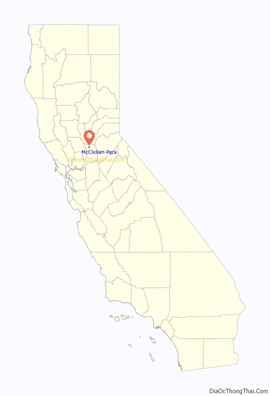
McClellan Park location map. Where is McClellan Park CDP?
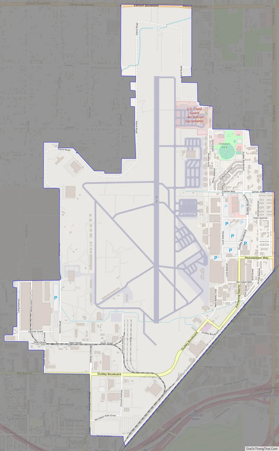
McClellan Park Road Map
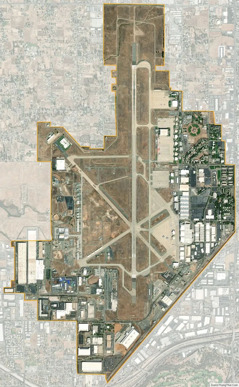
McClellan Park city Satellite Map
See also
Map of California State and its subdivision:- Alameda
- Alpine
- Amador
- Butte
- Calaveras
- Colusa
- Contra Costa
- Del Norte
- El Dorado
- Fresno
- Glenn
- Humboldt
- Imperial
- Inyo
- Kern
- Kings
- Lake
- Lassen
- Los Angeles
- Madera
- Marin
- Mariposa
- Mendocino
- Merced
- Modoc
- Mono
- Monterey
- Napa
- Nevada
- Orange
- Placer
- Plumas
- Riverside
- Sacramento
- San Benito
- San Bernardino
- San Diego
- San Francisco
- San Joaquin
- San Luis Obispo
- San Mateo
- Santa Barbara
- Santa Clara
- Santa Cruz
- Shasta
- Sierra
- Siskiyou
- Solano
- Sonoma
- Stanislaus
- Sutter
- Tehama
- Trinity
- Tulare
- Tuolumne
- Ventura
- Yolo
- Yuba
- Alabama
- Alaska
- Arizona
- Arkansas
- California
- Colorado
- Connecticut
- Delaware
- District of Columbia
- Florida
- Georgia
- Hawaii
- Idaho
- Illinois
- Indiana
- Iowa
- Kansas
- Kentucky
- Louisiana
- Maine
- Maryland
- Massachusetts
- Michigan
- Minnesota
- Mississippi
- Missouri
- Montana
- Nebraska
- Nevada
- New Hampshire
- New Jersey
- New Mexico
- New York
- North Carolina
- North Dakota
- Ohio
- Oklahoma
- Oregon
- Pennsylvania
- Rhode Island
- South Carolina
- South Dakota
- Tennessee
- Texas
- Utah
- Vermont
- Virginia
- Washington
- West Virginia
- Wisconsin
- Wyoming


