McKittrick is an unincorporated community in Kern County, California, United States. McKittrick is 14 miles (23 km) northwest of Taft, at an elevation of 1,056 feet (322 m). The population was 115 at the 2010 census, down from 160 at the 2000 census.For statistical purposes, the United States Census Bureau has defined McKittrick as a census-designated place (CDP).
| Name: | McKittrick CDP |
|---|---|
| LSAD Code: | 57 |
| LSAD Description: | CDP (suffix) |
| State: | California |
| County: | Kern County |
| Elevation: | 1,056 ft (322 m) |
| Total Area: | 2.617 sq mi (6.778 km²) |
| Land Area: | 2.617 sq mi (6.778 km²) |
| Water Area: | 0 sq mi (0 km²) 0% |
| Total Population: | 115 |
| Population Density: | 44/sq mi (17/km²) |
| ZIP code: | 93251 |
| Area code: | 661 |
| FIPS code: | 0644924 |
| GNISfeature ID: | 0245709 |
Online Interactive Map
Click on ![]() to view map in "full screen" mode.
to view map in "full screen" mode.
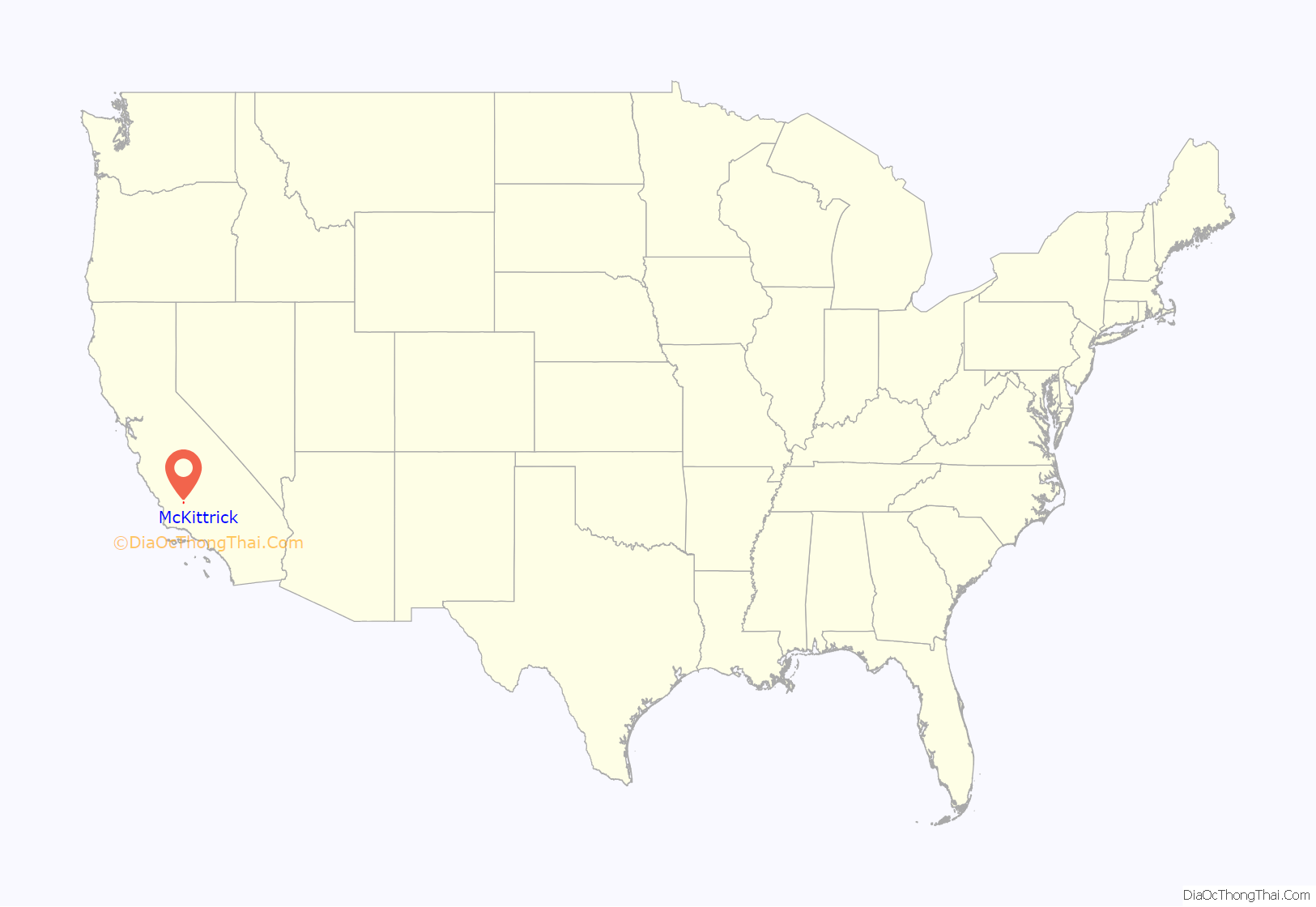
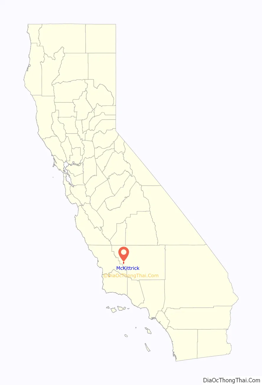
McKittrick location map. Where is McKittrick CDP?
History
The first post office at McKittrick opened in 1910. The name honors Capt. William McKittrick, local landowner and rancher. McKittrick incorporated in 1911.
Berry Petroleum Company began sending out a property purchase offer letters of intent to homeowners in 2022 citing a new setback law that holds companies responsible for ensuring pollution from their operations does not negatively impact the health of nearby communities.
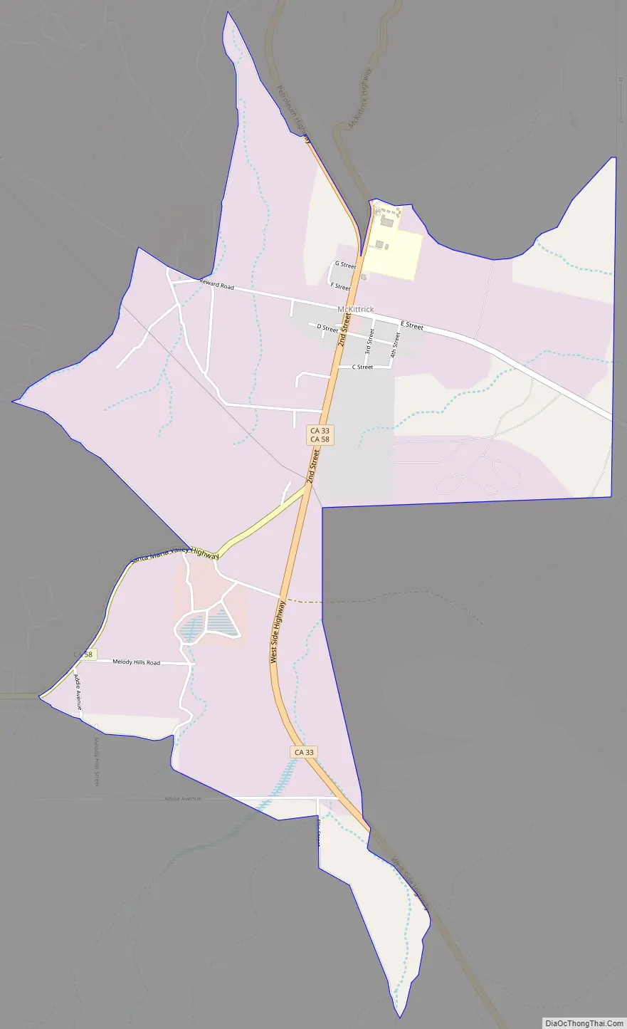
McKittrick Road Map
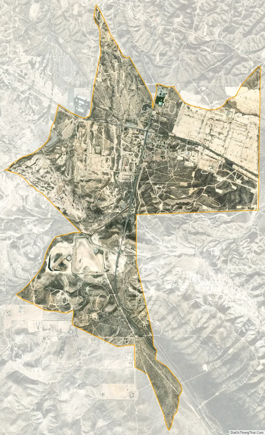
McKittrick city Satellite Map
Geography
McKittrick is located at the junction of State Routes 33 and 58.
According to the United States Census Bureau, the CDP has a total area of 2.6 square miles (6.7 km), all of it land.
The town is in the center of a large oil-producing region in western Kern County. Along State Route 33 to the south of the town is the Midway-Sunset Oil Field, the second-largest oil field in the contiguous United States; within the town itself, as well as to the west is the McKittrick Field; to the northwest is the huge Cymric Field; and along Highway 33 beyond Cymric is the large South Belridge Oil Field, run by Aera Energy LLC. East of McKittrick is Occidental Petroleum’s Elk Hills Field, formerly the U.S. Naval Petroleum Reserve.
The McKittrick Tar Pits, which are similar to the more famous La Brea Tar Pits in Los Angeles, contain an assemblage of bones of ice age mammals. They are a series of surface seeps from the underlying McKittrick Oil Field.
See also
Map of California State and its subdivision:- Alameda
- Alpine
- Amador
- Butte
- Calaveras
- Colusa
- Contra Costa
- Del Norte
- El Dorado
- Fresno
- Glenn
- Humboldt
- Imperial
- Inyo
- Kern
- Kings
- Lake
- Lassen
- Los Angeles
- Madera
- Marin
- Mariposa
- Mendocino
- Merced
- Modoc
- Mono
- Monterey
- Napa
- Nevada
- Orange
- Placer
- Plumas
- Riverside
- Sacramento
- San Benito
- San Bernardino
- San Diego
- San Francisco
- San Joaquin
- San Luis Obispo
- San Mateo
- Santa Barbara
- Santa Clara
- Santa Cruz
- Shasta
- Sierra
- Siskiyou
- Solano
- Sonoma
- Stanislaus
- Sutter
- Tehama
- Trinity
- Tulare
- Tuolumne
- Ventura
- Yolo
- Yuba
- Alabama
- Alaska
- Arizona
- Arkansas
- California
- Colorado
- Connecticut
- Delaware
- District of Columbia
- Florida
- Georgia
- Hawaii
- Idaho
- Illinois
- Indiana
- Iowa
- Kansas
- Kentucky
- Louisiana
- Maine
- Maryland
- Massachusetts
- Michigan
- Minnesota
- Mississippi
- Missouri
- Montana
- Nebraska
- Nevada
- New Hampshire
- New Jersey
- New Mexico
- New York
- North Carolina
- North Dakota
- Ohio
- Oklahoma
- Oregon
- Pennsylvania
- Rhode Island
- South Carolina
- South Dakota
- Tennessee
- Texas
- Utah
- Vermont
- Virginia
- Washington
- West Virginia
- Wisconsin
- Wyoming


