Mettler, or Mettler Station, is a heavily Hispanic, low-income unincorporated area and census-designated place in Kern County, California. The population was 90 at the 2020 census, down from 136 at the 2010 census. It is the place where motion picture actor James Dean received a traffic ticket on the last day of his life.
| Name: | Mettler CDP |
|---|---|
| LSAD Code: | 57 |
| LSAD Description: | CDP (suffix) |
| State: | California |
| County: | Kern County |
| Elevation: | 541 ft (165 m) |
| Total Area: | 0.233 sq mi (0.603 km²) |
| Land Area: | 0.233 sq mi (0.603 km²) |
| Water Area: | 0 sq mi (0 km²) 0% |
| Total Population: | 90 |
| Population Density: | 390/sq mi (150/km²) |
| ZIP code: | 93381 |
| Area code: | 661 |
| FIPS code: | 0647164 |
| GNISfeature ID: | 0245837 |
Online Interactive Map
Click on ![]() to view map in "full screen" mode.
to view map in "full screen" mode.
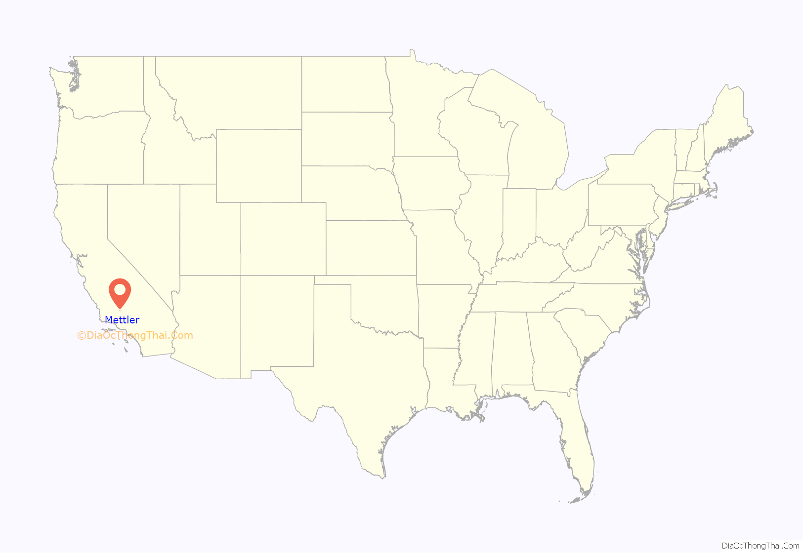
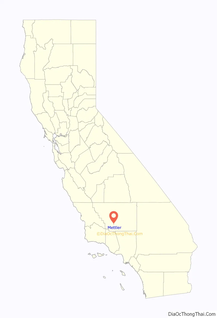
Mettler location map. Where is Mettler CDP?
History
Founding
According to the publication California’s Geographic Names, Mettler was founded in 1941, but an obituary of Clifford Alvin Mettler in The Bakersfield Californian reported that the settlement was founded by him, his father, William H. Mettler, and his brother (unnamed) in the “late 1940s” in the Wheeler Ridge area, which settlement “later became known as Mettler Station.”
James Dean
On September 30, 1955, motion picture actor James Dean was driving north on Highway U.S. 99 when he was stopped by California Highway Patrol officer O.V. Hunter and given a ticket for speeding. The officer wrote Mettler Station as the location of the infraction.
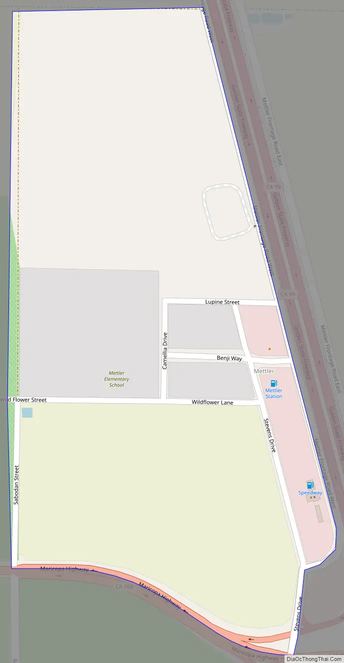
Mettler Road Map
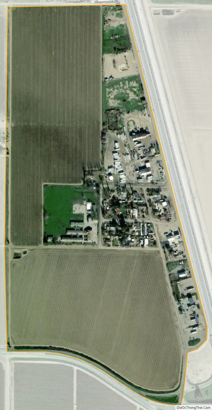
Mettler city Satellite Map
Geography
Mettler is 25 miles (40 km) south of Bakersfield.[1] The locality has an area of 0.2 square miles (0.52 km) and an elevation of 541 feet (165 m).
See also
Map of California State and its subdivision:- Alameda
- Alpine
- Amador
- Butte
- Calaveras
- Colusa
- Contra Costa
- Del Norte
- El Dorado
- Fresno
- Glenn
- Humboldt
- Imperial
- Inyo
- Kern
- Kings
- Lake
- Lassen
- Los Angeles
- Madera
- Marin
- Mariposa
- Mendocino
- Merced
- Modoc
- Mono
- Monterey
- Napa
- Nevada
- Orange
- Placer
- Plumas
- Riverside
- Sacramento
- San Benito
- San Bernardino
- San Diego
- San Francisco
- San Joaquin
- San Luis Obispo
- San Mateo
- Santa Barbara
- Santa Clara
- Santa Cruz
- Shasta
- Sierra
- Siskiyou
- Solano
- Sonoma
- Stanislaus
- Sutter
- Tehama
- Trinity
- Tulare
- Tuolumne
- Ventura
- Yolo
- Yuba
- Alabama
- Alaska
- Arizona
- Arkansas
- California
- Colorado
- Connecticut
- Delaware
- District of Columbia
- Florida
- Georgia
- Hawaii
- Idaho
- Illinois
- Indiana
- Iowa
- Kansas
- Kentucky
- Louisiana
- Maine
- Maryland
- Massachusetts
- Michigan
- Minnesota
- Mississippi
- Missouri
- Montana
- Nebraska
- Nevada
- New Hampshire
- New Jersey
- New Mexico
- New York
- North Carolina
- North Dakota
- Ohio
- Oklahoma
- Oregon
- Pennsylvania
- Rhode Island
- South Carolina
- South Dakota
- Tennessee
- Texas
- Utah
- Vermont
- Virginia
- Washington
- West Virginia
- Wisconsin
- Wyoming


