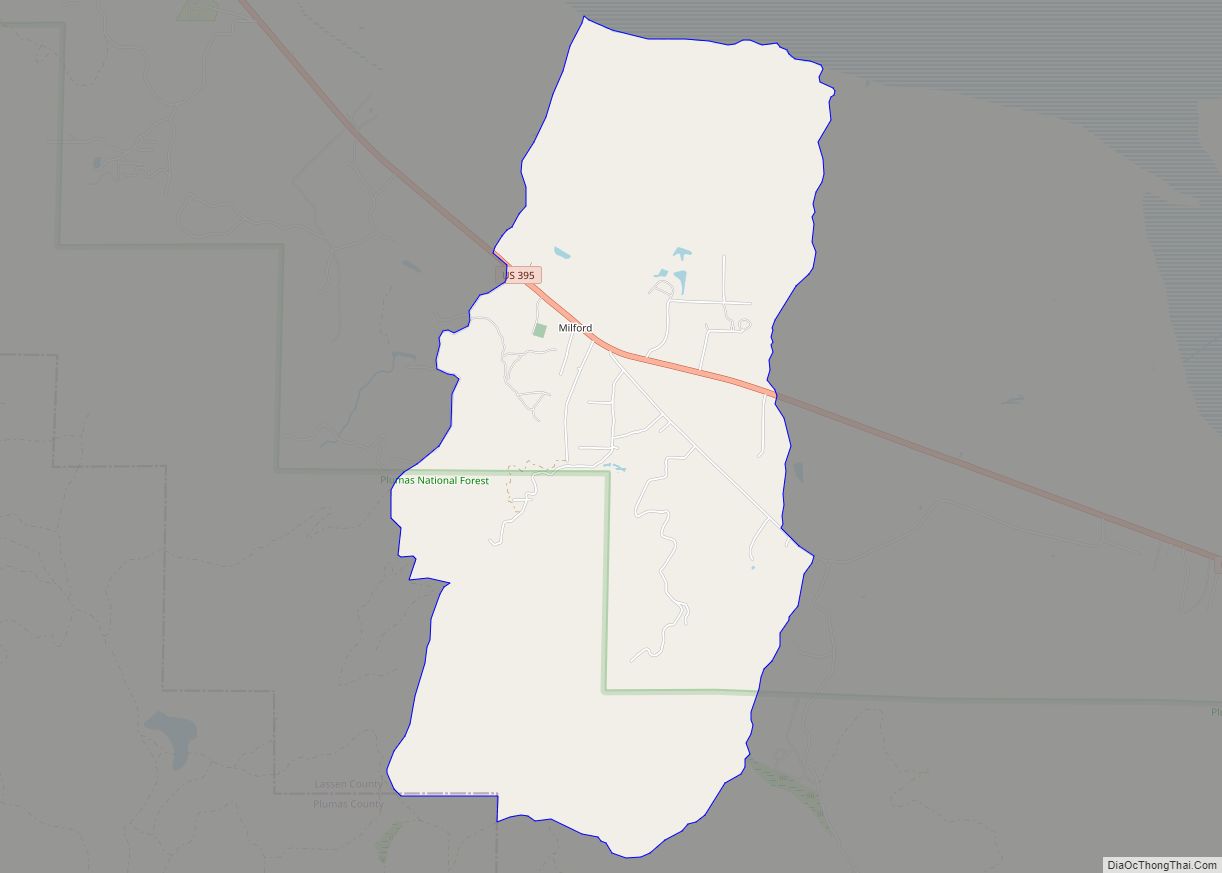
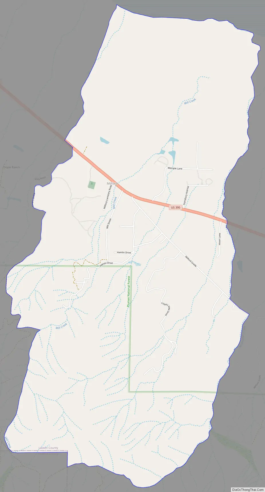
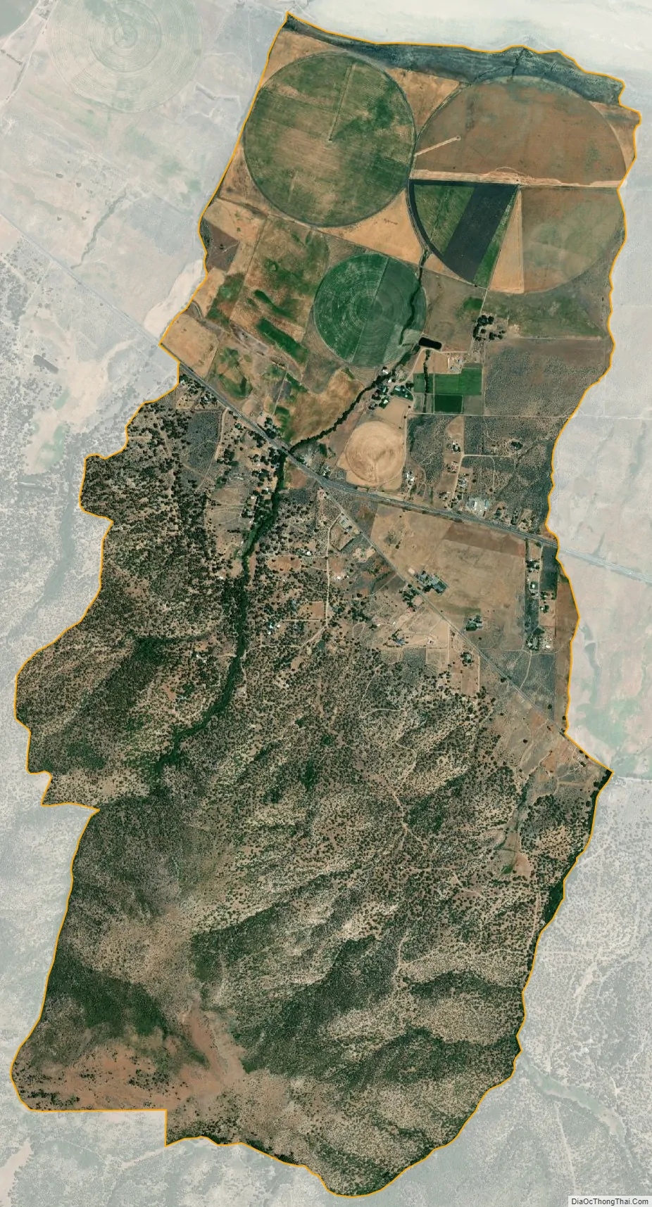
Milford is a census-designated place in Lassen County, California. It is located on Mill Creek 15 miles (24 km) south of Litchfield, at an elevation of 4222 feet (1287 m). Its population is 147 as of the 2020 census, down from 167 from the 2010 census.
The settlement began when Judson Dakin and J.C. Wemple opened a mill at the site in 1861. The first post office at Milford opened in 1864 and closed for a period during 1879.
On August 22, 2021, the Dixie fire approached Milford but fire crews were able to protect the structures.
| Name: | Milford CDP |
|---|---|
| LSAD Code: | 57 |
| LSAD Description: | CDP (suffix) |
| State: | California |
| County: | Lassen County |
| Elevation: | 4,222 ft (1,287 m) |
| Total Area: | 5.298 sq mi (13.720 km²) |
| Land Area: | 5.292 sq mi (13.706 km²) |
| Water Area: | 0.006 sq mi (0.015 km²) 0.11% |
| Total Population: | 147 |
| Population Density: | 28/sq mi (11/km²) |
| FIPS code: | 0647472 |
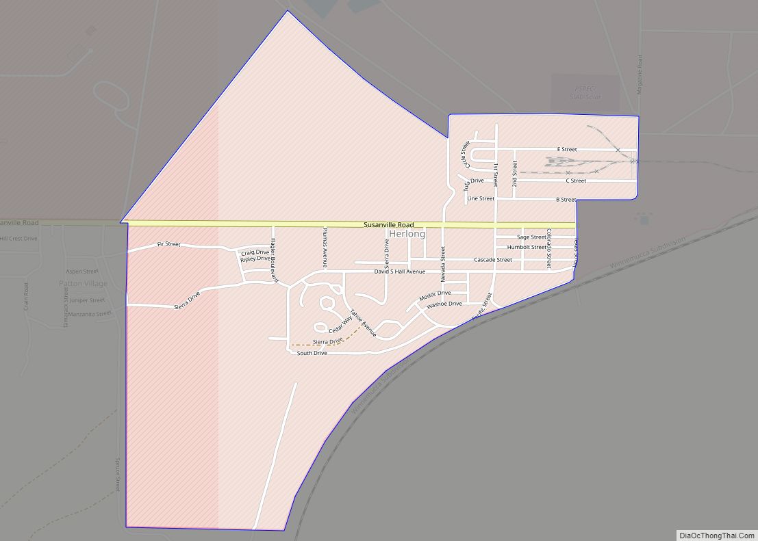
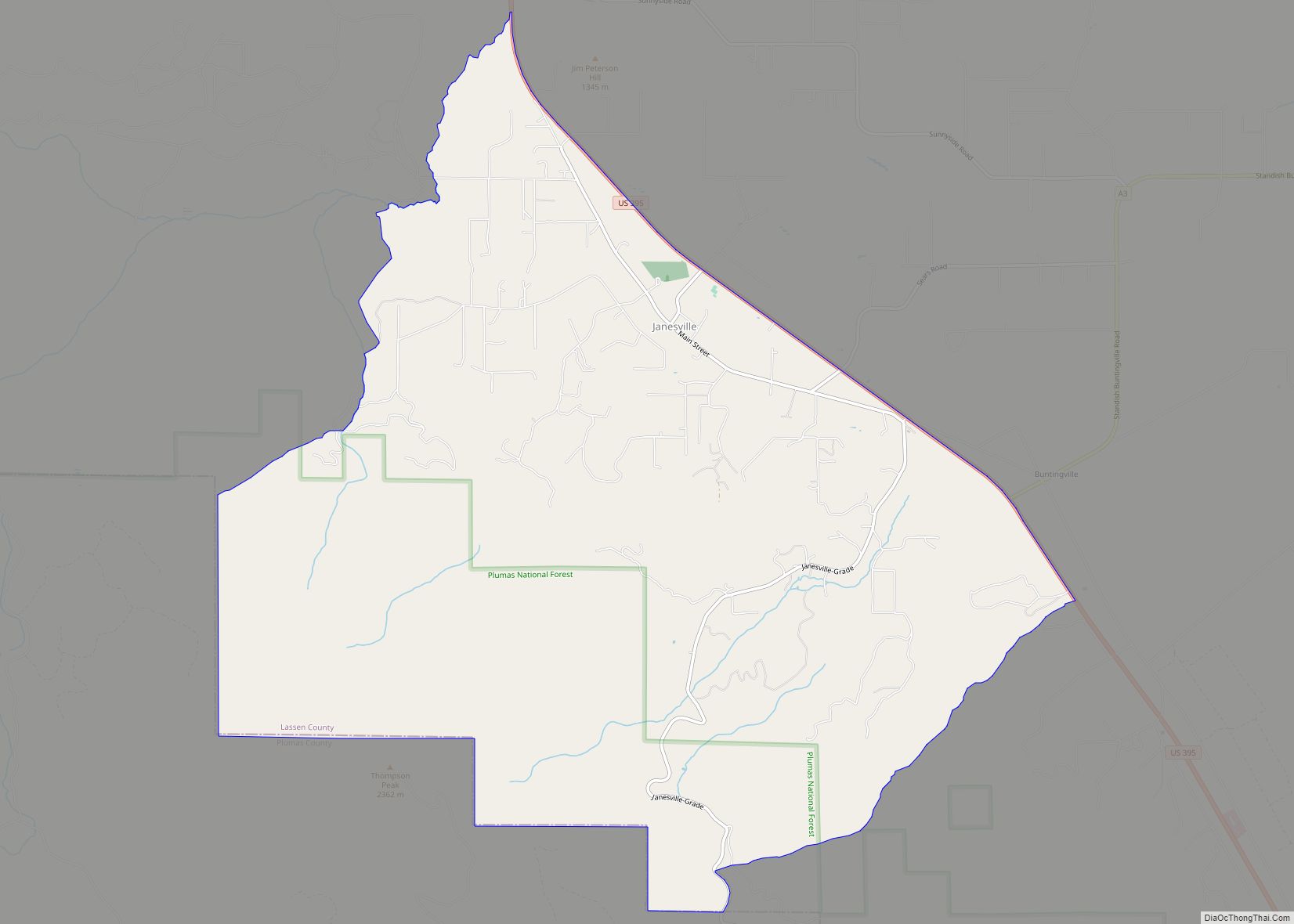
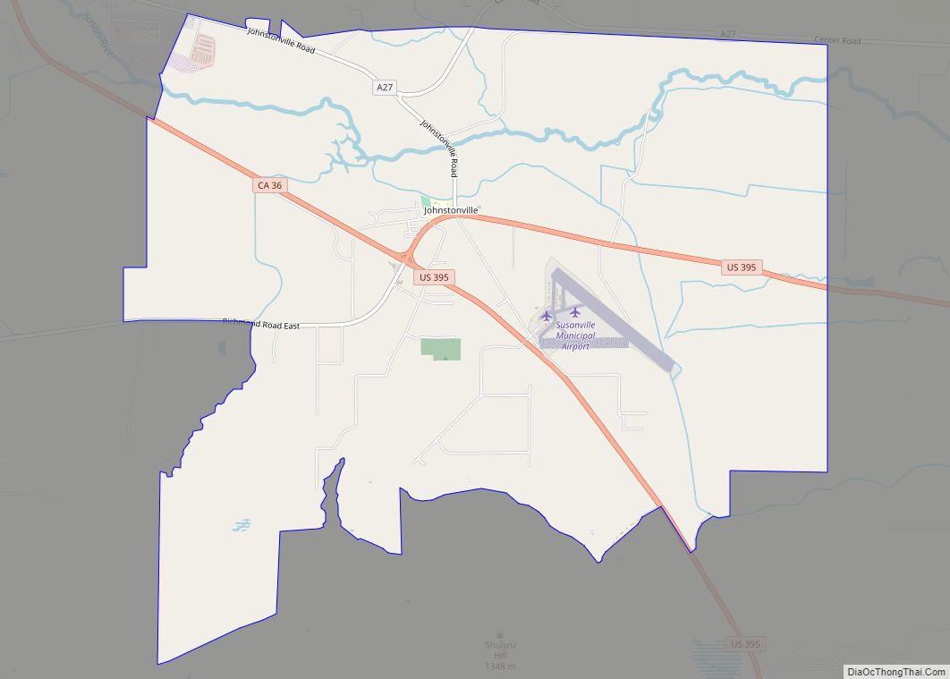
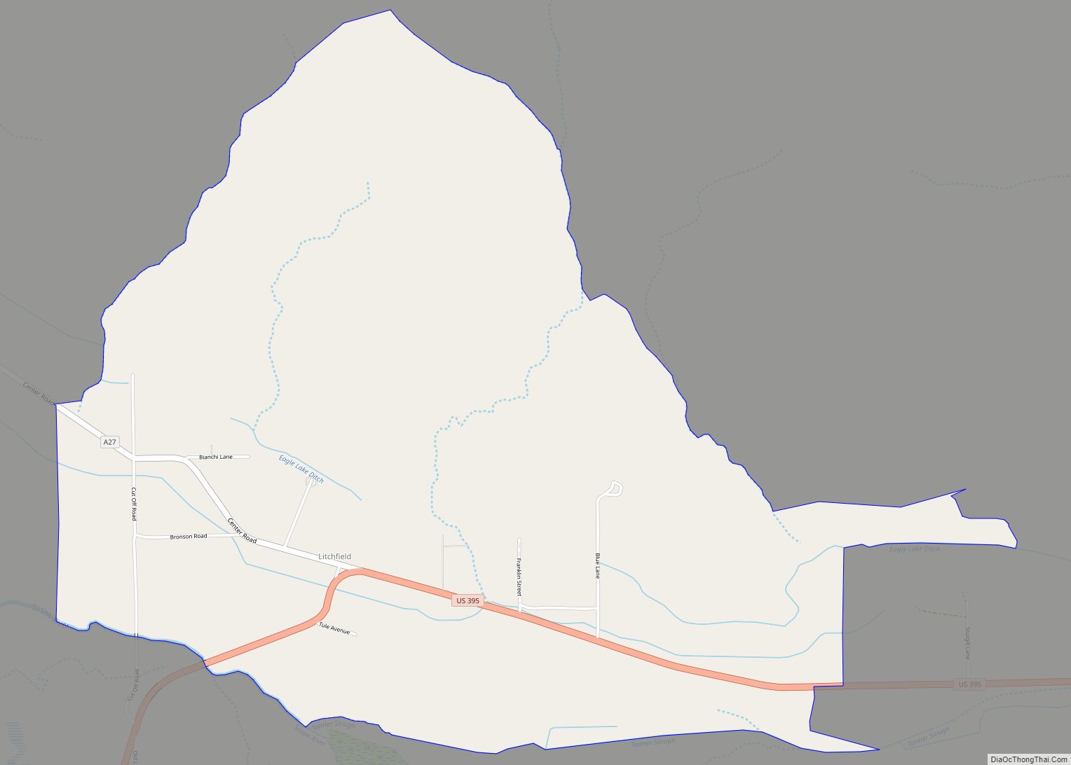
Online Interactive Map
Click on ![]() to view map in "full screen" mode.
to view map in "full screen" mode.
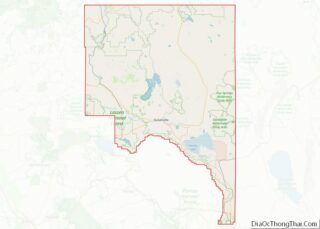
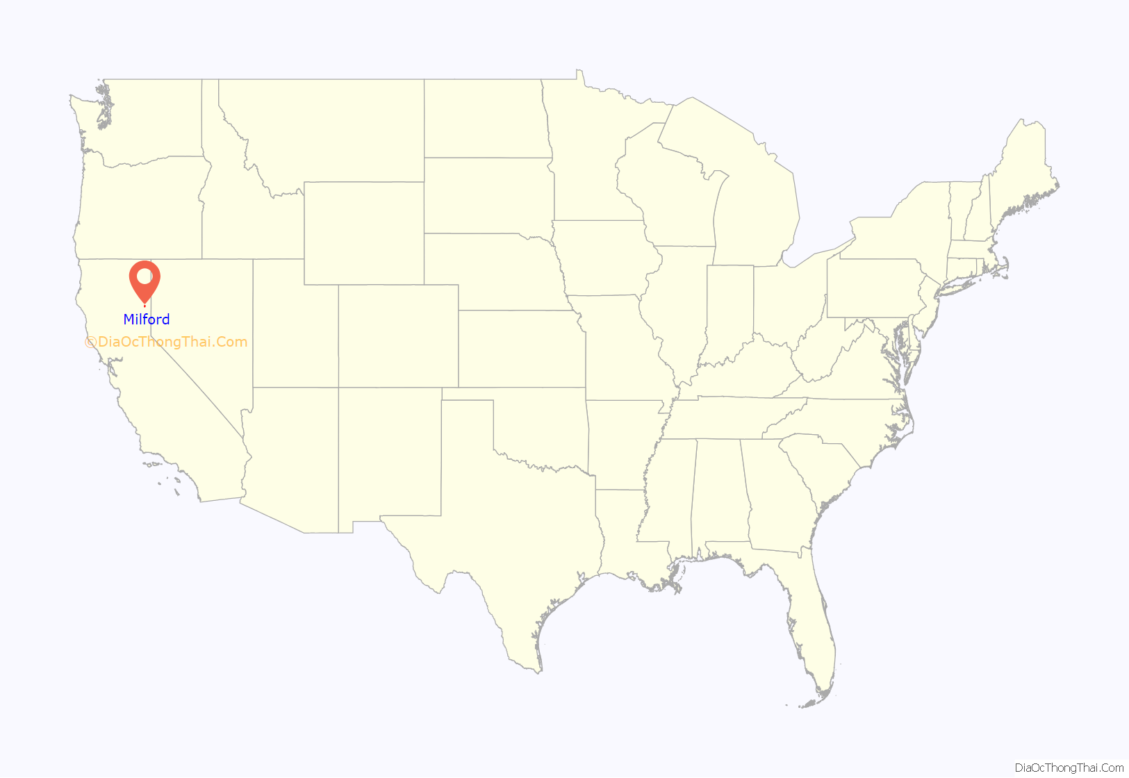
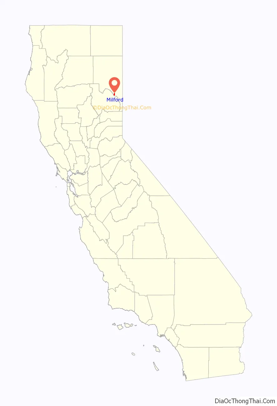
Milford location map. Where is Milford CDP?
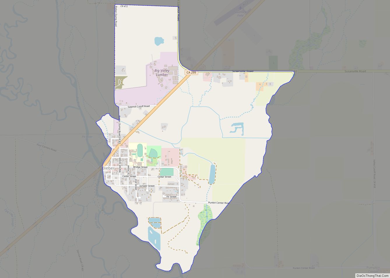
Milford Road Map
Milford city Satellite Map
Geography
According to the United States Census Bureau, the CDP has a total area of 5.3 square miles (13.7 km), of which over 99% is land.
See also
Map of California State and its subdivision:- Alameda
- Alpine
- Amador
- Butte
- Calaveras
- Colusa
- Contra Costa
- Del Norte
- El Dorado
- Fresno
- Glenn
- Humboldt
- Imperial
- Inyo
- Kern
- Kings
- Lake
- Lassen
- Los Angeles
- Madera
- Marin
- Mariposa
- Mendocino
- Merced
- Modoc
- Mono
- Monterey
- Napa
- Nevada
- Orange
- Placer
- Plumas
- Riverside
- Sacramento
- San Benito
- San Bernardino
- San Diego
- San Francisco
- San Joaquin
- San Luis Obispo
- San Mateo
- Santa Barbara
- Santa Clara
- Santa Cruz
- Shasta
- Sierra
- Siskiyou
- Solano
- Sonoma
- Stanislaus
- Sutter
- Tehama
- Trinity
- Tulare
- Tuolumne
- Ventura
- Yolo
- Yuba
- Alabama
- Alaska
- Arizona
- Arkansas
- California
- Colorado
- Connecticut
- Delaware
- District of Columbia
- Florida
- Georgia
- Hawaii
- Idaho
- Illinois
- Indiana
- Iowa
- Kansas
- Kentucky
- Louisiana
- Maine
- Maryland
- Massachusetts
- Michigan
- Minnesota
- Mississippi
- Missouri
- Montana
- Nebraska
- Nevada
- New Hampshire
- New Jersey
- New Mexico
- New York
- North Carolina
- North Dakota
- Ohio
- Oklahoma
- Oregon
- Pennsylvania
- Rhode Island
- South Carolina
- South Dakota
- Tennessee
- Texas
- Utah
- Vermont
- Virginia
- Washington
- West Virginia
- Wisconsin
- Wyoming