Minkler is a census-designated place in eastern Fresno County, California. The place is located on Highway 180, 2.25 miles (3.6 km) east-southeast of Centerville and 7.6 miles north of Reedley at an elevation of 397 feet (121 m). It has a population of 1,003 people. The town is named for Charles O. Minkler, a local farmer. The current mayor of Minkler is Wyatt Barnett.
Minkler made headlines in February 2010 for a police shootout that took the lives of Fresno County Sheriff’s Deputy Joel Whalenmair and Reedley Police Department officer Javier Bejar, as well as the shooter, Rick Liles.
| Name: | Minkler CDP |
|---|---|
| LSAD Code: | 57 |
| LSAD Description: | CDP (suffix) |
| State: | California |
| County: | Fresno County |
| Elevation: | 397 ft (121 m) |
| Total Area: | 5.864 sq mi (15.187 km²) |
| Land Area: | 5.864 sq mi (15.187 km²) |
| Water Area: | 0 sq mi (0 km²) 0% |
| Total Population: | 1,003 |
| Population Density: | 170/sq mi (66/km²) |
| FIPS code: | 0647822 |
Online Interactive Map
Click on ![]() to view map in "full screen" mode.
to view map in "full screen" mode.
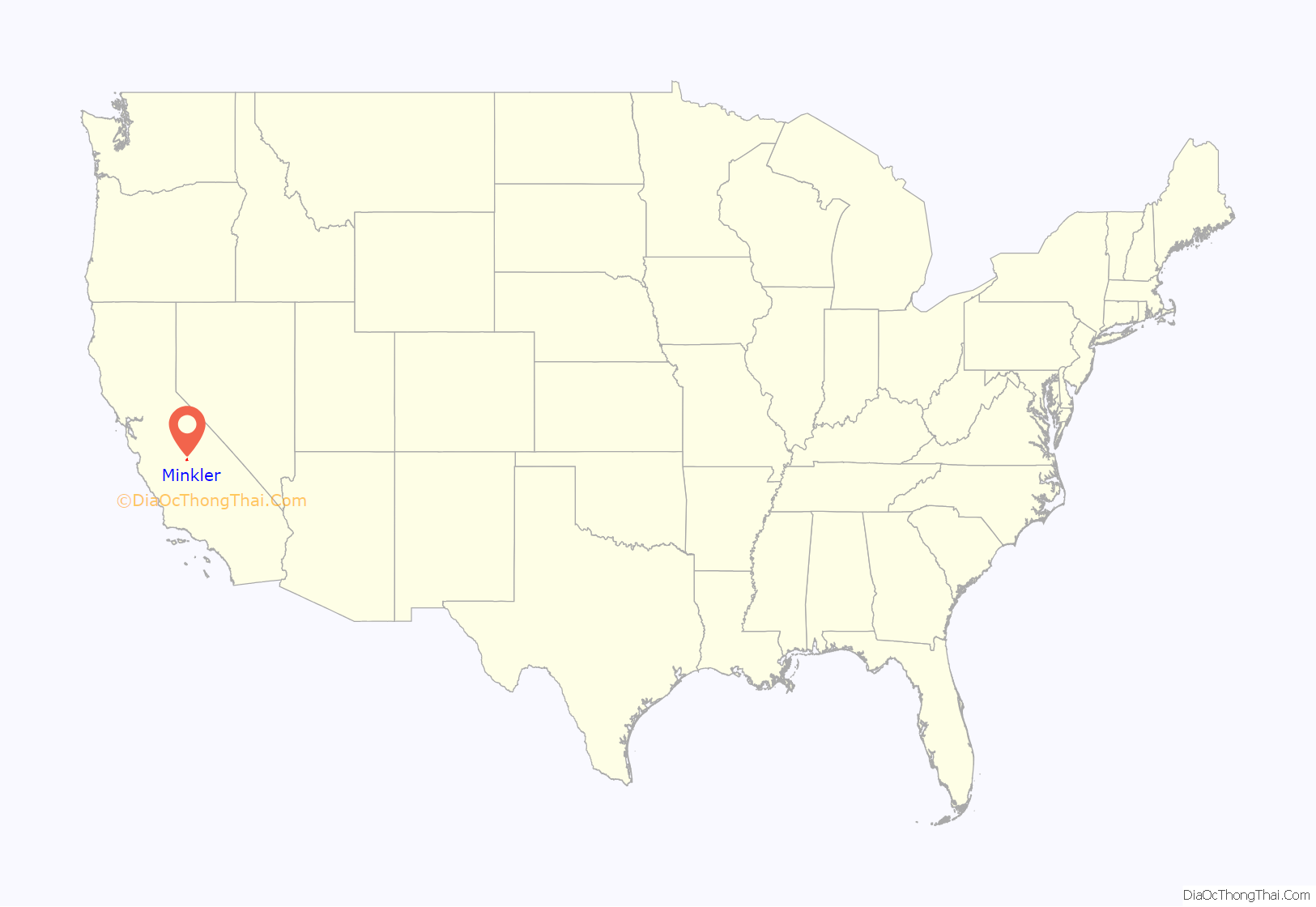
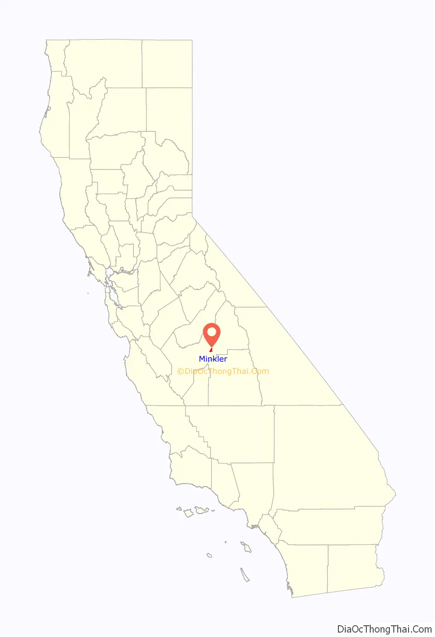
Minkler location map. Where is Minkler CDP?
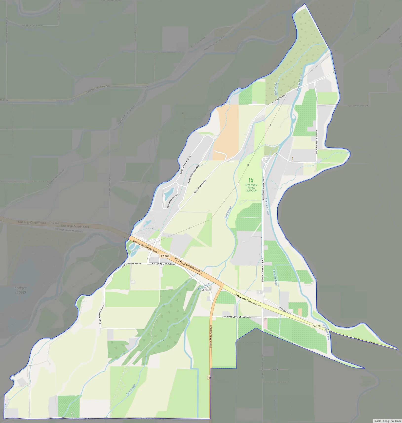
Minkler Road Map
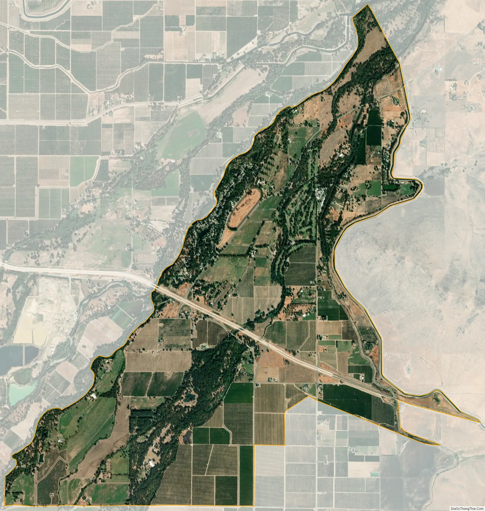
Minkler city Satellite Map
See also
Map of California State and its subdivision:- Alameda
- Alpine
- Amador
- Butte
- Calaveras
- Colusa
- Contra Costa
- Del Norte
- El Dorado
- Fresno
- Glenn
- Humboldt
- Imperial
- Inyo
- Kern
- Kings
- Lake
- Lassen
- Los Angeles
- Madera
- Marin
- Mariposa
- Mendocino
- Merced
- Modoc
- Mono
- Monterey
- Napa
- Nevada
- Orange
- Placer
- Plumas
- Riverside
- Sacramento
- San Benito
- San Bernardino
- San Diego
- San Francisco
- San Joaquin
- San Luis Obispo
- San Mateo
- Santa Barbara
- Santa Clara
- Santa Cruz
- Shasta
- Sierra
- Siskiyou
- Solano
- Sonoma
- Stanislaus
- Sutter
- Tehama
- Trinity
- Tulare
- Tuolumne
- Ventura
- Yolo
- Yuba
- Alabama
- Alaska
- Arizona
- Arkansas
- California
- Colorado
- Connecticut
- Delaware
- District of Columbia
- Florida
- Georgia
- Hawaii
- Idaho
- Illinois
- Indiana
- Iowa
- Kansas
- Kentucky
- Louisiana
- Maine
- Maryland
- Massachusetts
- Michigan
- Minnesota
- Mississippi
- Missouri
- Montana
- Nebraska
- Nevada
- New Hampshire
- New Jersey
- New Mexico
- New York
- North Carolina
- North Dakota
- Ohio
- Oklahoma
- Oregon
- Pennsylvania
- Rhode Island
- South Carolina
- South Dakota
- Tennessee
- Texas
- Utah
- Vermont
- Virginia
- Washington
- West Virginia
- Wisconsin
- Wyoming


