Miranda (formerly Jacobsen’s) is a census-designated place in Humboldt County, California. It is located 2.5 miles (4 km) northwest of Phillipsville, at an elevation of 351 feet (107 m). The ZIP Code is 95553. The population was 520 at the 2010 census.
The name Miranda was originally applied to the area’s post office on August 26, 1905. One account states that it is not known whether the name giver had in mind a girl or the well-known Spanish place name and family name. Miranda was known as Jacobsen’s Valley until the post office was established. Another account states that Etta Coombs chose the name “Miranda” for the post office she started. Miranda is located on the Avenue of the Giants between Myers Flat to the north and Phillipsville to the south.
South Fork High School is the only regular high school of Southern Humboldt Unified School District, and currently boasts around 150 students from all of southern Humboldt County. The school’s name refers to the South Fork of the Eel River. Osprey Learning Center, an alternative continuation high school, is located across the football field from SFHS in facilities that formerly housed Miranda Junior High School. Today, Miranda Junior High School now stands where the former tennis court was, as construction was completed in 2014.
The ZIP Code is 95553. The community is inside area code 707. Elevation is said to be 351 feet at the town sign, though the terrain is generally not flat and encompasses elevations ranging from sea level to over 2,000 feet (610 m). Miranda is in the Pacific Standard Time zone and observes daylight saving time.
| Name: | Miranda CDP |
|---|---|
| LSAD Code: | 57 |
| LSAD Description: | CDP (suffix) |
| State: | California |
| County: | Humboldt County |
| Elevation: | 351 ft (107 m) |
| Total Area: | 1.499 sq mi (3.884 km²) |
| Land Area: | 1.491 sq mi (3.863 km²) |
| Water Area: | 0.008 sq mi (0.021 km²) 0.54% |
| Total Population: | 441 |
| Population Density: | 290/sq mi (110/km²) |
| FIPS code: | 0648060 |
Online Interactive Map
Click on ![]() to view map in "full screen" mode.
to view map in "full screen" mode.
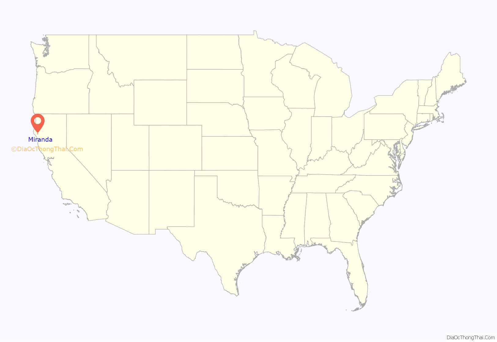
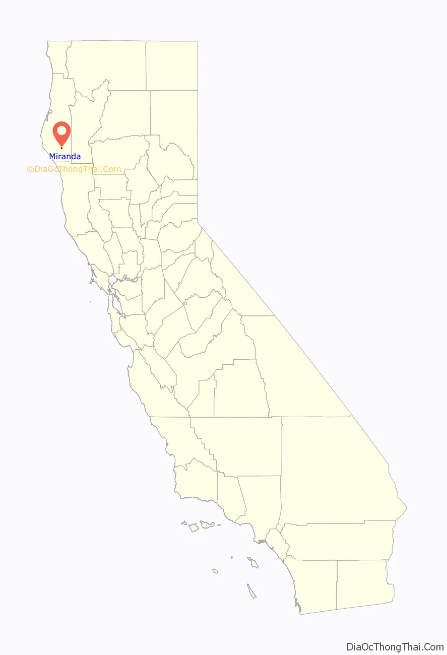
Miranda location map. Where is Miranda CDP?
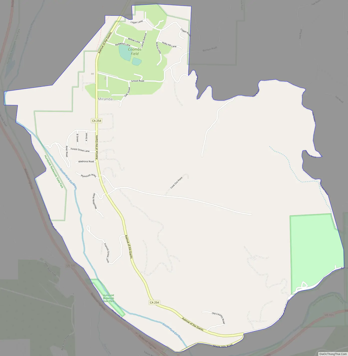
Miranda Road Map
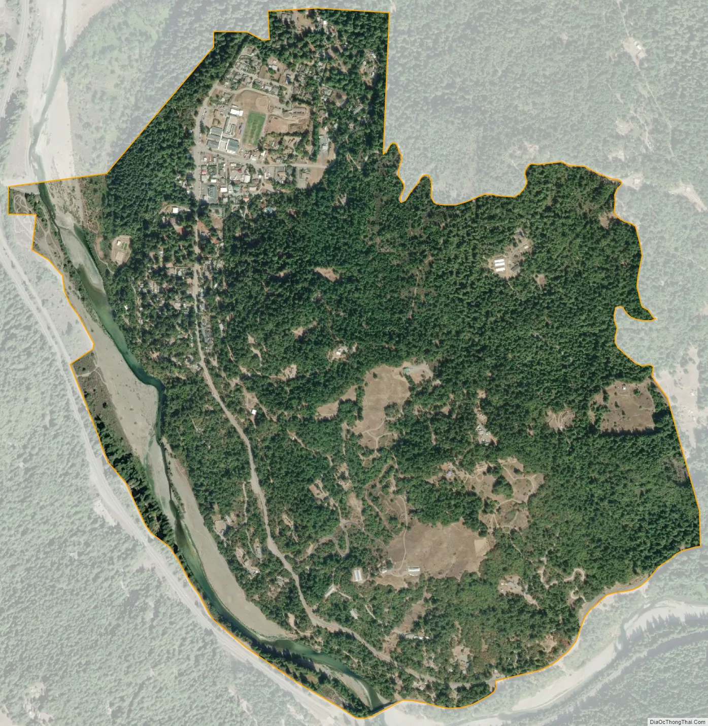
Miranda city Satellite Map
See also
Map of California State and its subdivision:- Alameda
- Alpine
- Amador
- Butte
- Calaveras
- Colusa
- Contra Costa
- Del Norte
- El Dorado
- Fresno
- Glenn
- Humboldt
- Imperial
- Inyo
- Kern
- Kings
- Lake
- Lassen
- Los Angeles
- Madera
- Marin
- Mariposa
- Mendocino
- Merced
- Modoc
- Mono
- Monterey
- Napa
- Nevada
- Orange
- Placer
- Plumas
- Riverside
- Sacramento
- San Benito
- San Bernardino
- San Diego
- San Francisco
- San Joaquin
- San Luis Obispo
- San Mateo
- Santa Barbara
- Santa Clara
- Santa Cruz
- Shasta
- Sierra
- Siskiyou
- Solano
- Sonoma
- Stanislaus
- Sutter
- Tehama
- Trinity
- Tulare
- Tuolumne
- Ventura
- Yolo
- Yuba
- Alabama
- Alaska
- Arizona
- Arkansas
- California
- Colorado
- Connecticut
- Delaware
- District of Columbia
- Florida
- Georgia
- Hawaii
- Idaho
- Illinois
- Indiana
- Iowa
- Kansas
- Kentucky
- Louisiana
- Maine
- Maryland
- Massachusetts
- Michigan
- Minnesota
- Mississippi
- Missouri
- Montana
- Nebraska
- Nevada
- New Hampshire
- New Jersey
- New Mexico
- New York
- North Carolina
- North Dakota
- Ohio
- Oklahoma
- Oregon
- Pennsylvania
- Rhode Island
- South Carolina
- South Dakota
- Tennessee
- Texas
- Utah
- Vermont
- Virginia
- Washington
- West Virginia
- Wisconsin
- Wyoming


