Mountain Ranch (formerly, El Dorado and El Dorado Town) is a census-designated place (CDP) in Calaveras County, California, United States. The population was 1,628 at the 2010 census, up from 1,557 at the 2000 census. The town is registered as California Historical Landmark #282. The town center is quite small with fewer than 50 people living in it. The 5 mile square area surrounding the town accounts for the balance of the population.
| Name: | Mountain Ranch CDP |
|---|---|
| LSAD Code: | 57 |
| LSAD Description: | CDP (suffix) |
| State: | California |
| County: | Calaveras County |
| Elevation: | 2,123 ft (647 m) |
| Total Area: | 41.244 sq mi (106.822 km²) |
| Land Area: | 41.188 sq mi (106.677 km²) |
| Water Area: | 0.056 sq mi (0.145 km²) 0.14% |
| Total Population: | 1,628 |
| Population Density: | 37.7/sq mi (14.6/km²) |
| ZIP code: | 95246 |
| Area code: | 209 |
| FIPS code: | 0649628 |
Online Interactive Map
Click on ![]() to view map in "full screen" mode.
to view map in "full screen" mode.
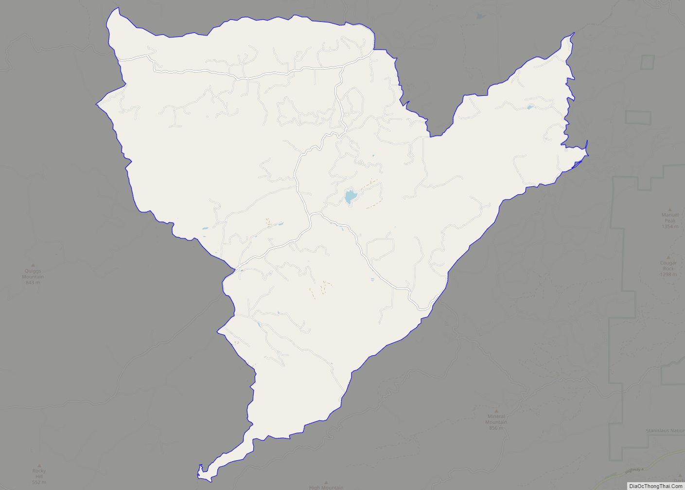
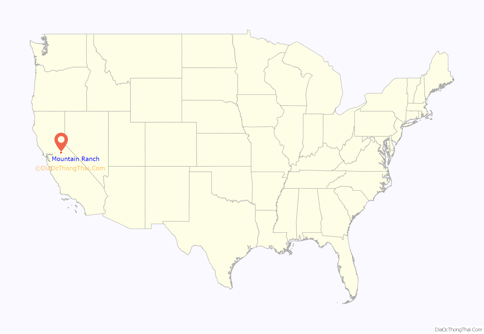
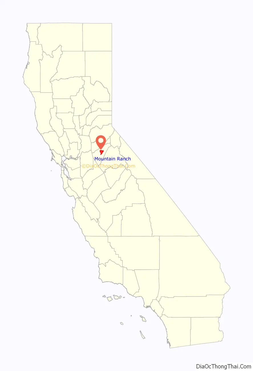
Mountain Ranch location map. Where is Mountain Ranch CDP?
History
The settlement was established during the California Gold Rush. Mountain Ranch’s post office was established in 1858. In 1868, it was moved to another town called El Dorado Camp 1.5 miles south, as there was already an El Dorado post office in California, El Dorado Camp became known as Mountain Ranch. Currently, there are 3 post office buildings in the town. The present one, a small post office which was built in 1956, and a post office built in 1923 which was once billed as the world’s smallest post office. The original location of the town of Mountain Ranch also has a historical landmark. The bell on the historical marker was used in the local school from 1885 to 1953. Established as Cave City School District in 1855, this school joined with the Banner District in 1946 to become the El Dorado Union Elementary School District. In 1942 the last of the gold mines closed. Further economic losses took place in the 1970s, when local saw mills shuttered, and also in 1983 when the Calaveras Cement Co. closed. In 2015, the town was ravaged by the Butte Fire. More than 350 homes along the outskirts burned, but firefighters and local ranchers were able to save most of the downtown.
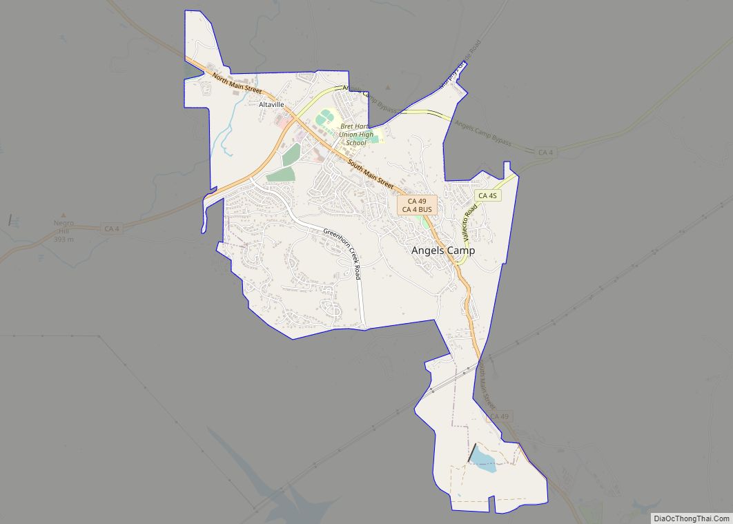
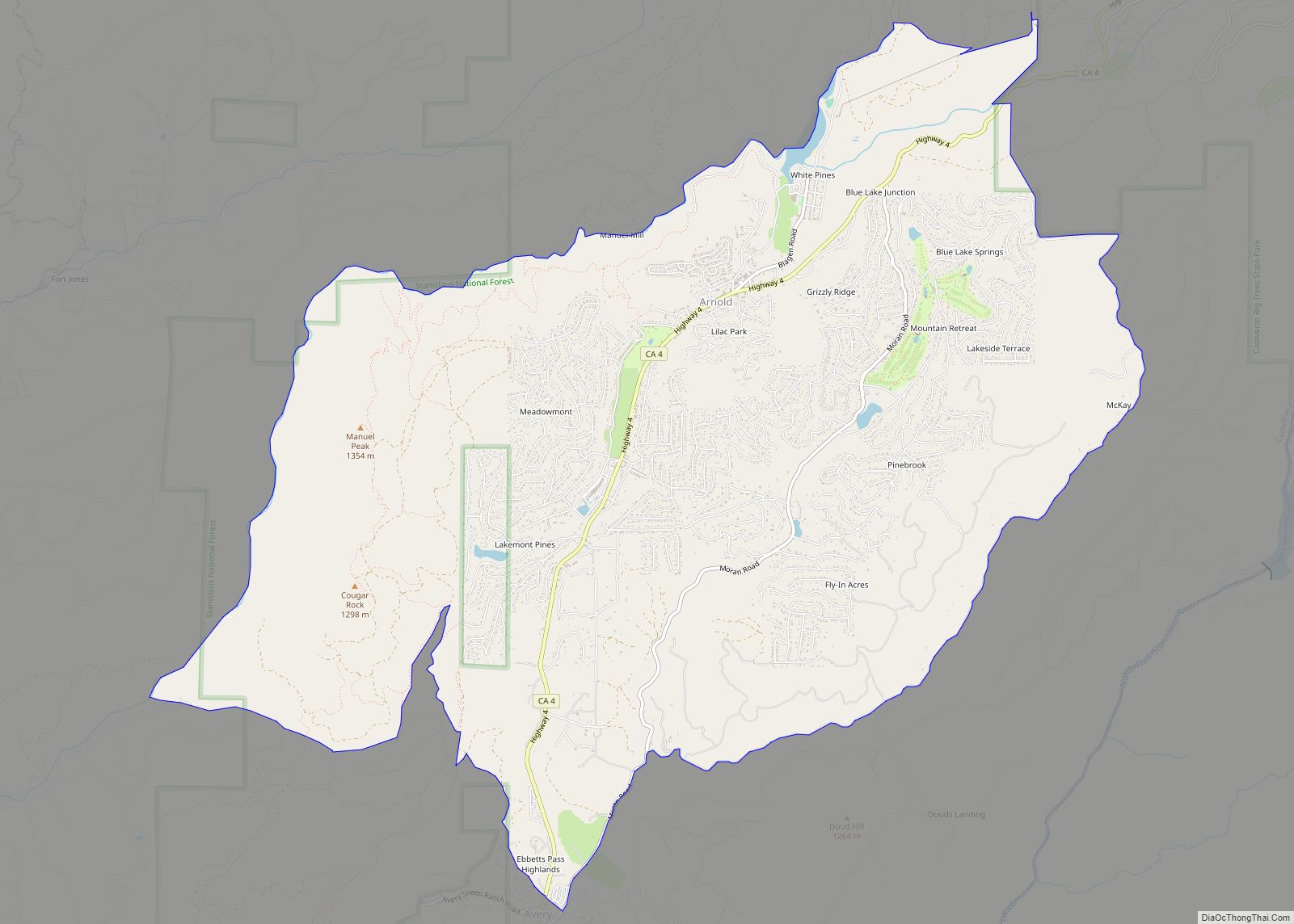
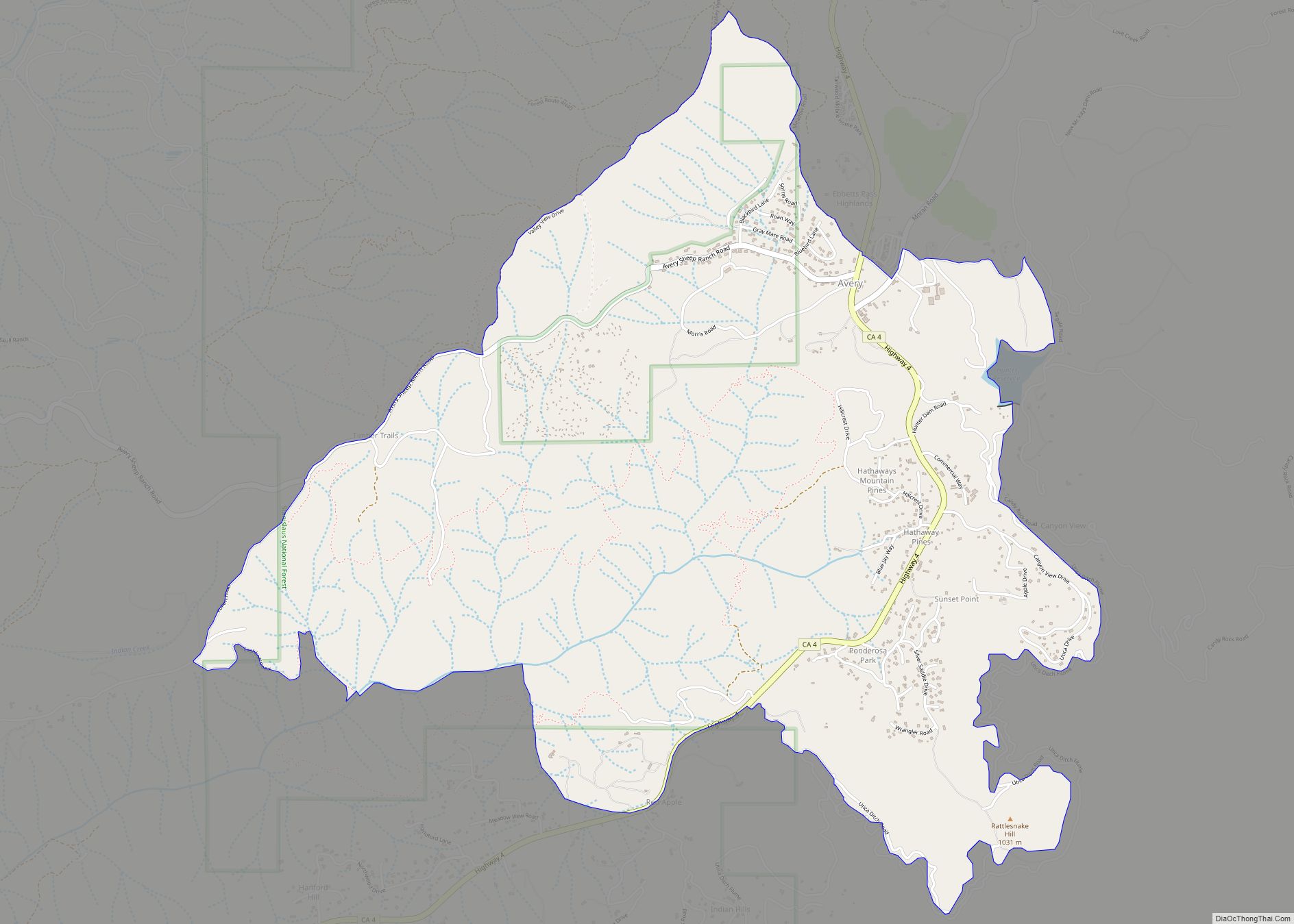
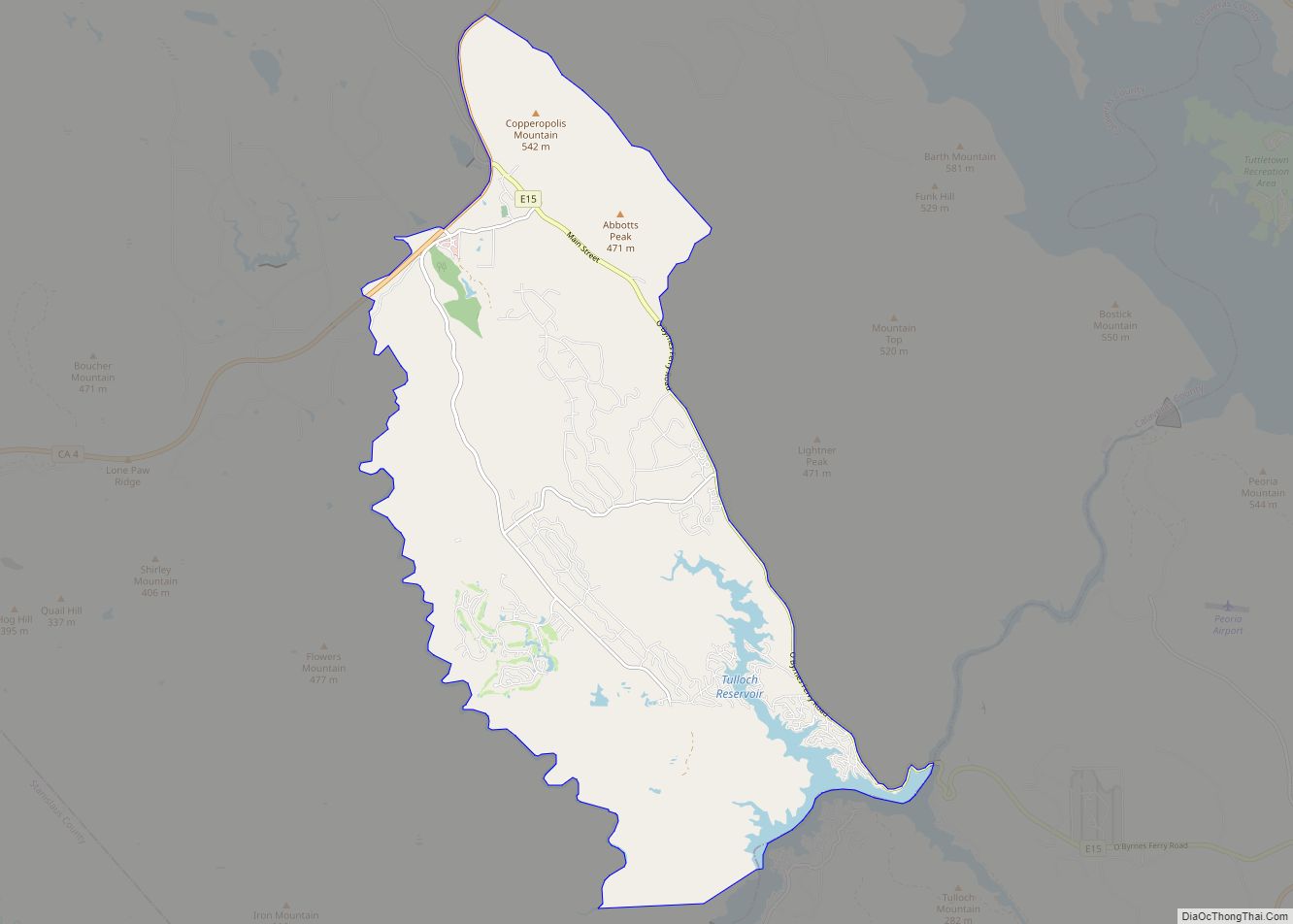
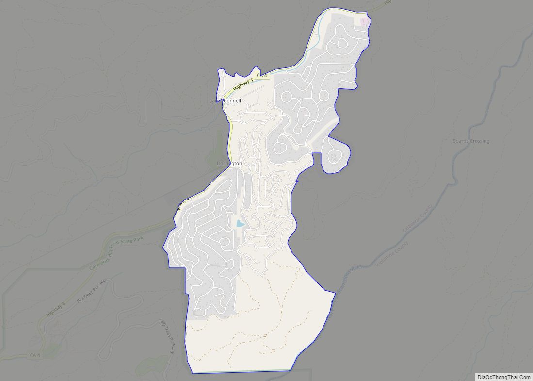
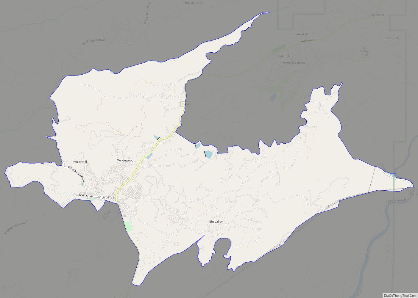
Mountain Ranch Road Map
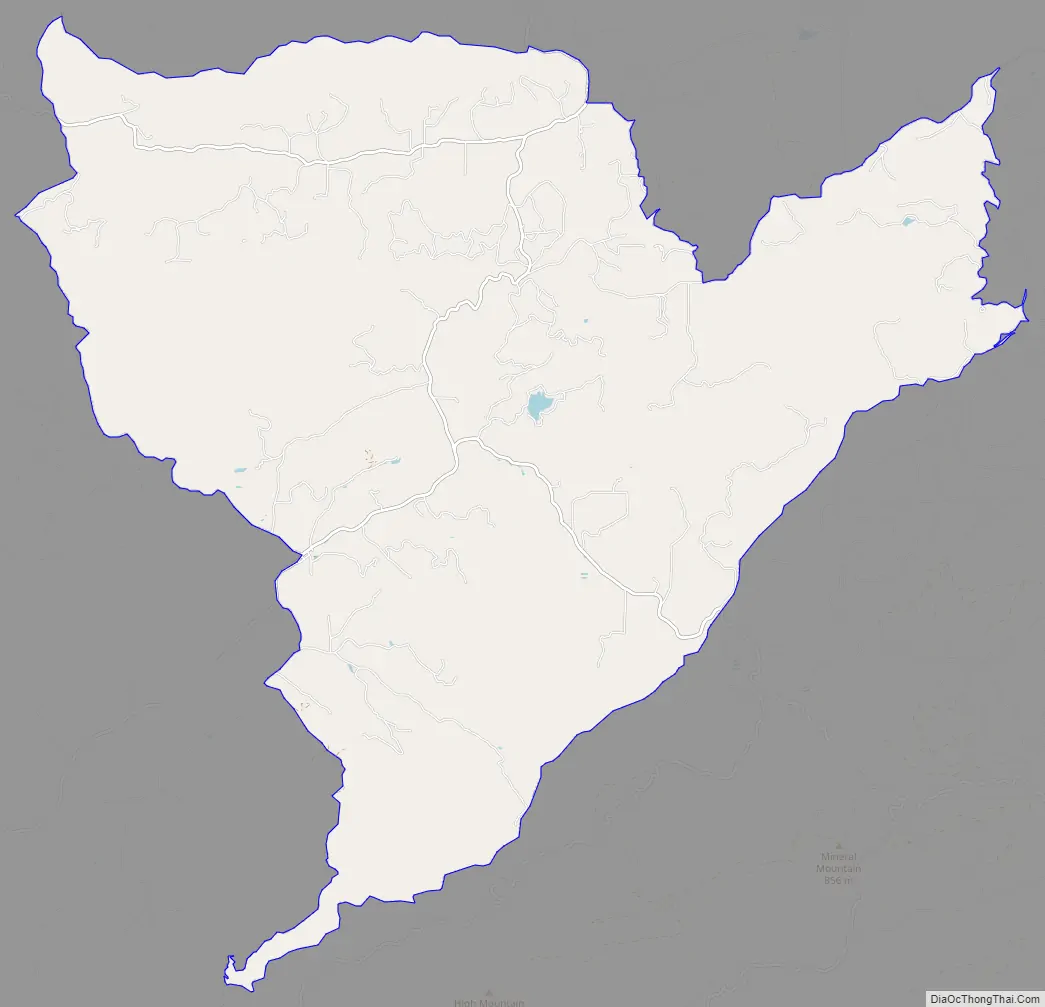
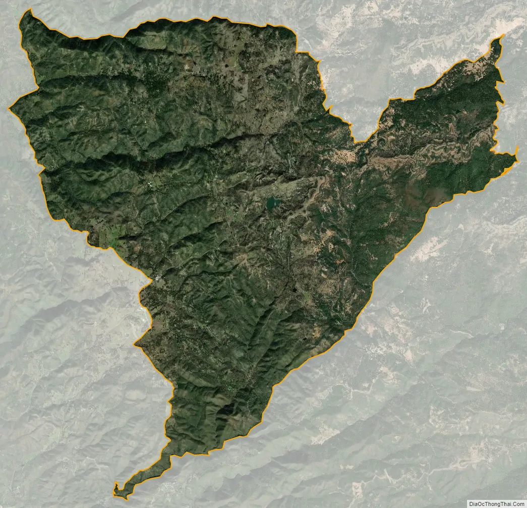
Mountain Ranch city Satellite Map
Geography
According to the United States Census Bureau, the CDP has a total area of 41.2 square miles (107 km), of which 99.86% is land, and 0.14% is water.
See also
Map of California State and its subdivision:- Alameda
- Alpine
- Amador
- Butte
- Calaveras
- Colusa
- Contra Costa
- Del Norte
- El Dorado
- Fresno
- Glenn
- Humboldt
- Imperial
- Inyo
- Kern
- Kings
- Lake
- Lassen
- Los Angeles
- Madera
- Marin
- Mariposa
- Mendocino
- Merced
- Modoc
- Mono
- Monterey
- Napa
- Nevada
- Orange
- Placer
- Plumas
- Riverside
- Sacramento
- San Benito
- San Bernardino
- San Diego
- San Francisco
- San Joaquin
- San Luis Obispo
- San Mateo
- Santa Barbara
- Santa Clara
- Santa Cruz
- Shasta
- Sierra
- Siskiyou
- Solano
- Sonoma
- Stanislaus
- Sutter
- Tehama
- Trinity
- Tulare
- Tuolumne
- Ventura
- Yolo
- Yuba
- Alabama
- Alaska
- Arizona
- Arkansas
- California
- Colorado
- Connecticut
- Delaware
- District of Columbia
- Florida
- Georgia
- Hawaii
- Idaho
- Illinois
- Indiana
- Iowa
- Kansas
- Kentucky
- Louisiana
- Maine
- Maryland
- Massachusetts
- Michigan
- Minnesota
- Mississippi
- Missouri
- Montana
- Nebraska
- Nevada
- New Hampshire
- New Jersey
- New Mexico
- New York
- North Carolina
- North Dakota
- Ohio
- Oklahoma
- Oregon
- Pennsylvania
- Rhode Island
- South Carolina
- South Dakota
- Tennessee
- Texas
- Utah
- Vermont
- Virginia
- Washington
- West Virginia
- Wisconsin
- Wyoming