Muir Beach is a census designated place (CDP), unincorporated community, and beach on the Pacific Ocean. The community is located 16.5 miles (26.6 km) northwest of San Francisco in western Marin County, California, United States. Unlike many other entities in the area, it is not named directly in honor of conservationist John Muir; instead, it was named after Muir Woods National Monument to capitalize on the latter’s popularity. The population was 304 at the 2020 census. The community itself flanks the northwest side of the beach.
Located about 2 miles (3 km) from the entrance to Muir Woods, the beach is about 1,000 feet (300 m) long and 200 feet (61 m) wide, with coarse sand and several large boulders. Redwood Creek empties into the beach. There is a parking lot at the beach, which is accessible via a footbridge.
The subdivision of homes was formerly called Bello Beach, and the beach itself was formerly called Big Lagoon after a freshwater lagoon that was located where the parking lot is now. Damage from 20th century dairy farms interfered with the flow of the creek and the lagoon.
| Name: | Muir Beach CDP |
|---|---|
| LSAD Code: | 57 |
| LSAD Description: | CDP (suffix) |
| State: | California |
| County: | Marin County |
| Elevation: | 312 ft (95 m) |
| Total Area: | 0.493 sq mi (1.28 km²) |
| Land Area: | 0.493 sq mi (1.28 km²) |
| Water Area: | 0 sq mi (0 km²) 0% |
| Total Population: | 304 |
| Population Density: | 620/sq mi (240/km²) |
| ZIP code: | 94965 |
| FIPS code: | 0649950 |
| Website: | www.muirbeachcsd.com |
Online Interactive Map
Click on ![]() to view map in "full screen" mode.
to view map in "full screen" mode.
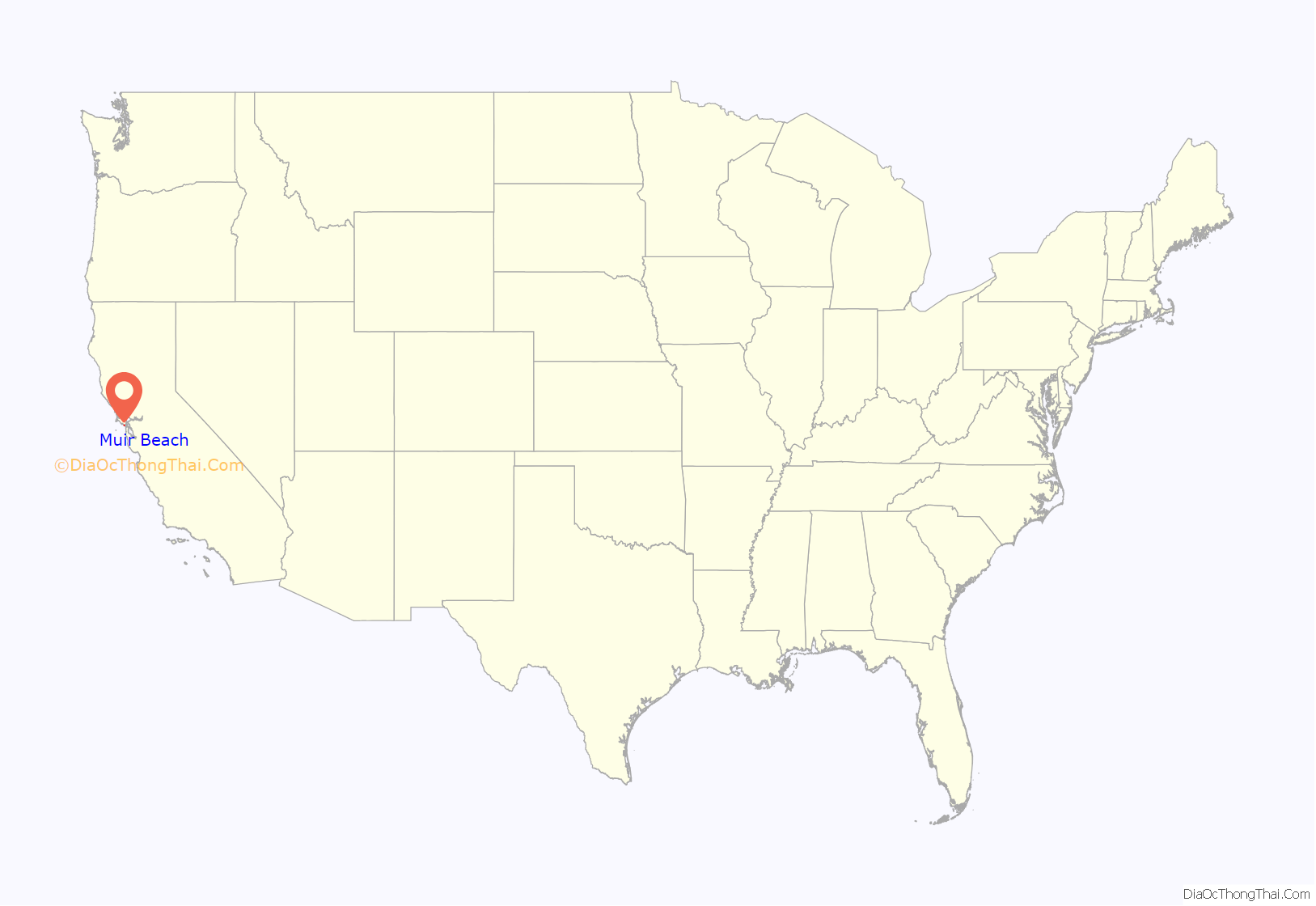
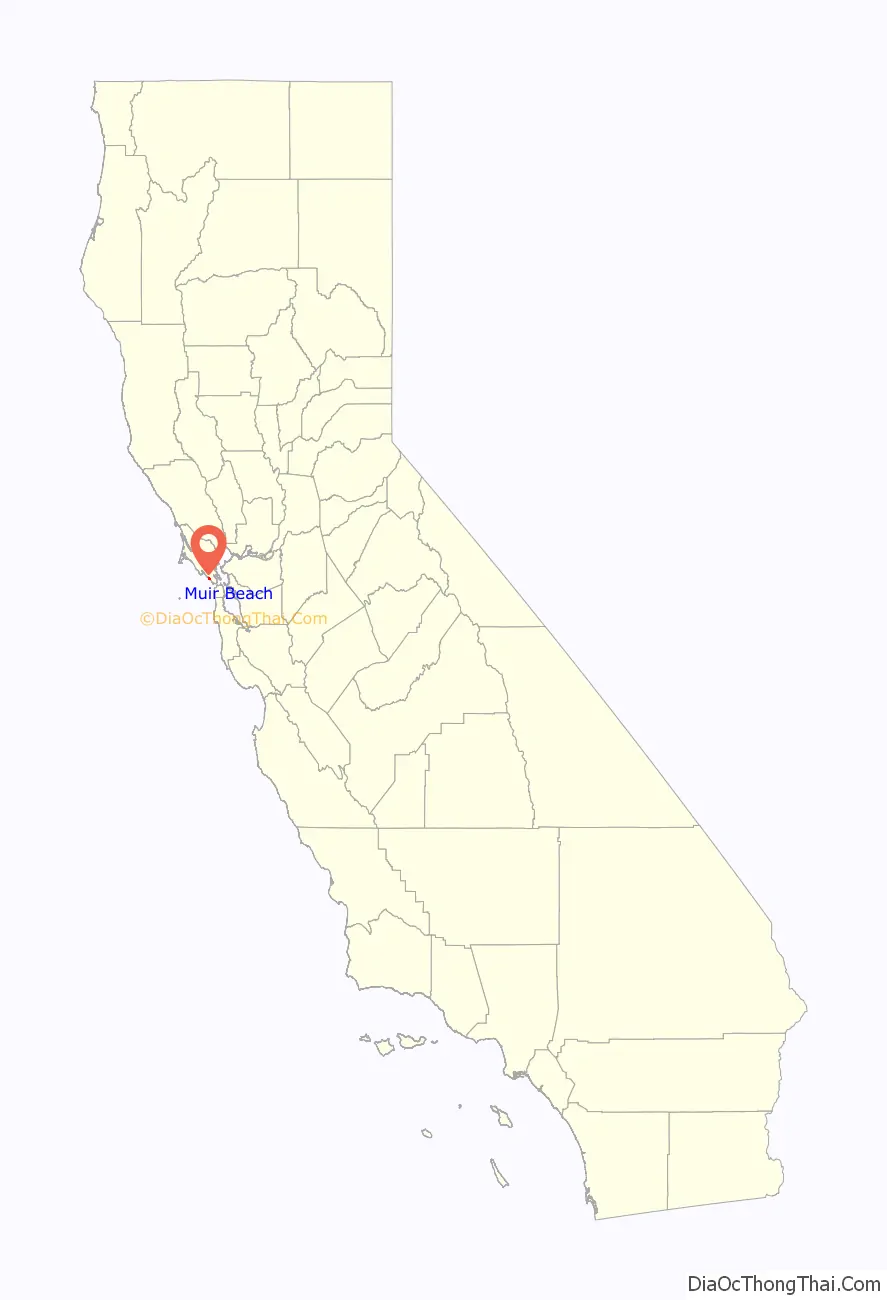
Muir Beach location map. Where is Muir Beach CDP?
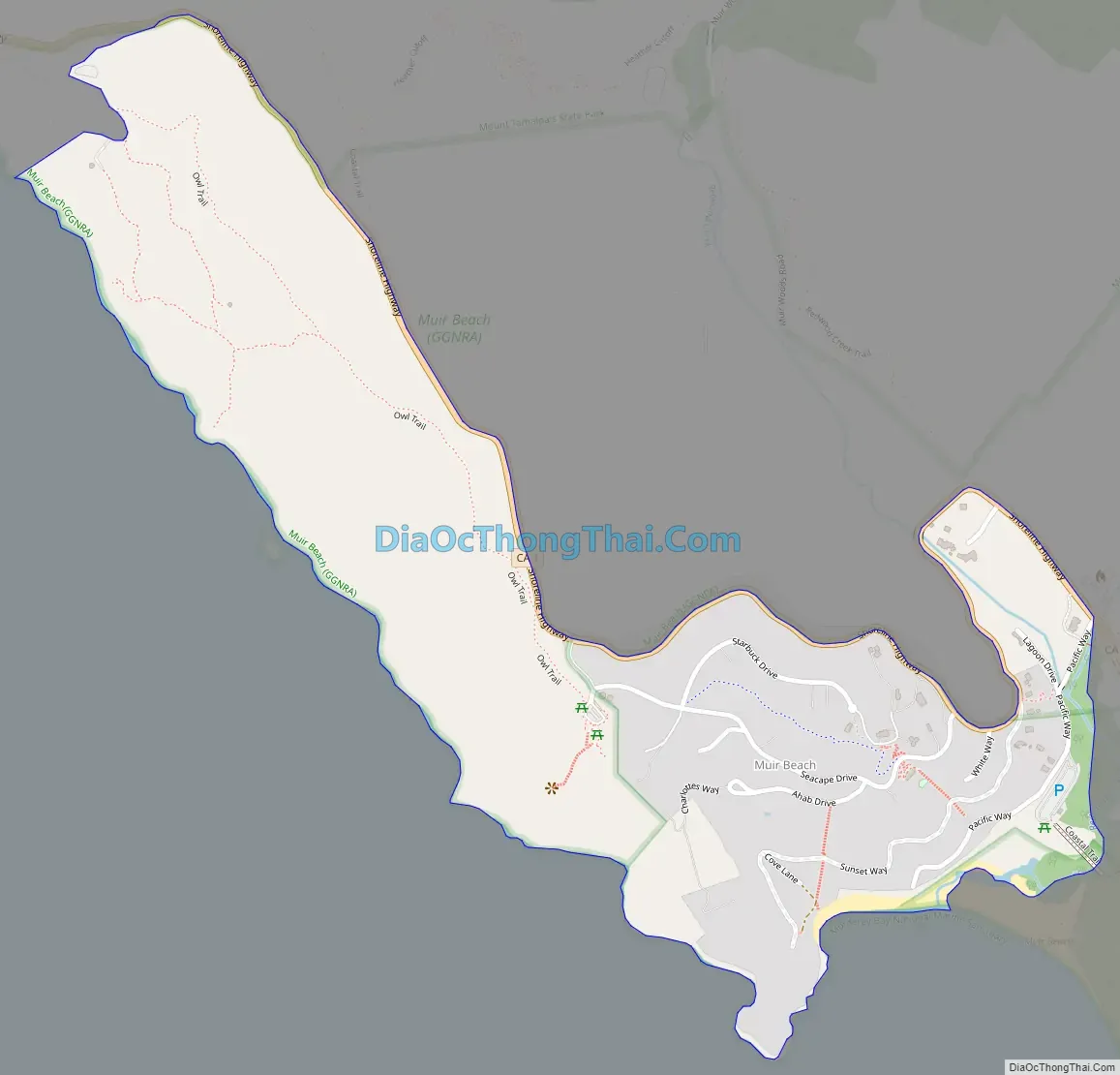
Muir Beach Road Map
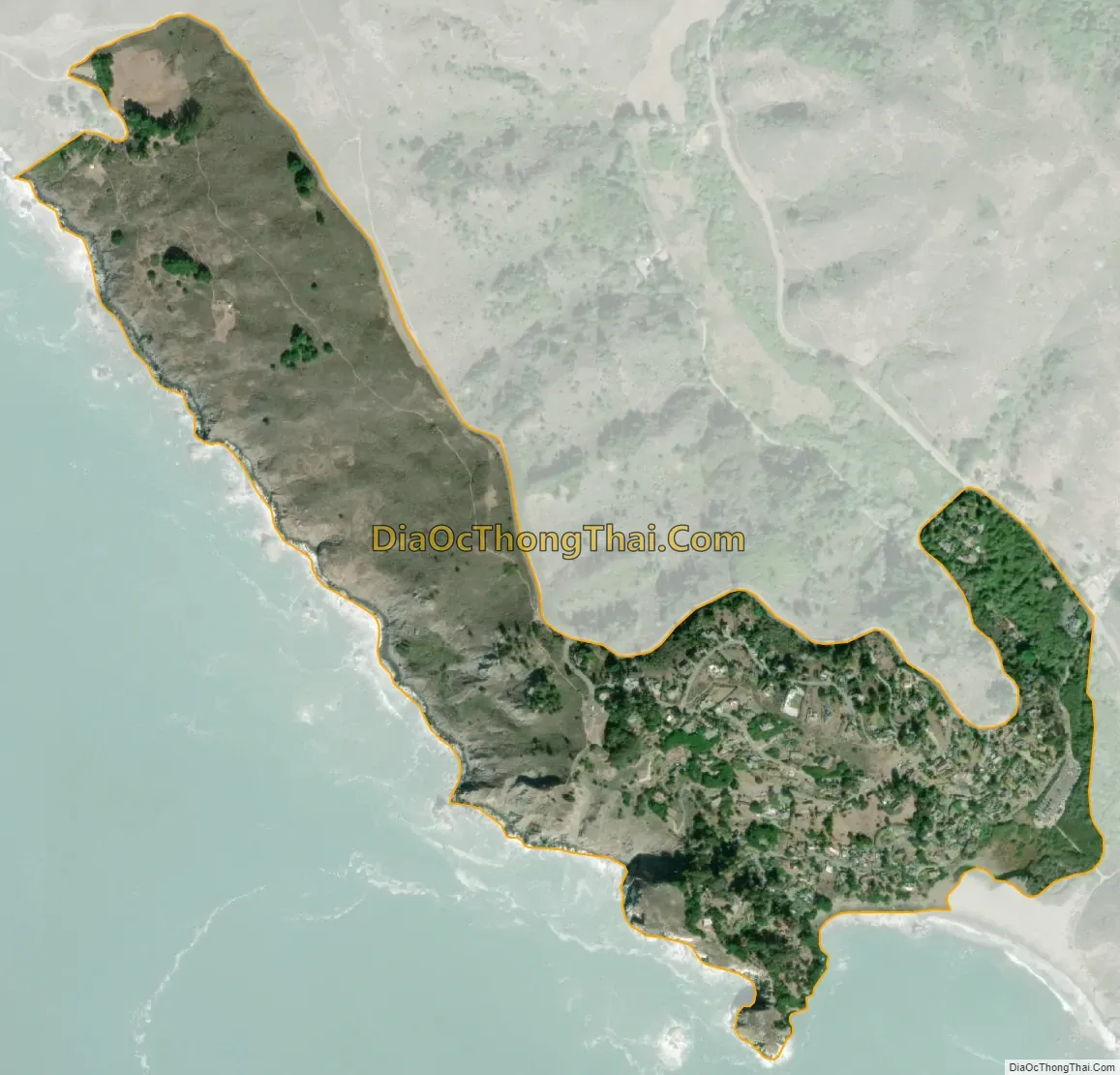
Muir Beach city Satellite Map
Geography
According to the United States Census Bureau, the CDP has a total area of 0.5 square miles (1.3 km), all of it land. California State Route 1 leads northeast 6 miles (10 km) to U.S. Route 101 near Sausalito and northwest 22 miles (35 km) to Point Reyes Station.
The beach is one of the cleanest in the state.
See also
Map of California State and its subdivision:- Alameda
- Alpine
- Amador
- Butte
- Calaveras
- Colusa
- Contra Costa
- Del Norte
- El Dorado
- Fresno
- Glenn
- Humboldt
- Imperial
- Inyo
- Kern
- Kings
- Lake
- Lassen
- Los Angeles
- Madera
- Marin
- Mariposa
- Mendocino
- Merced
- Modoc
- Mono
- Monterey
- Napa
- Nevada
- Orange
- Placer
- Plumas
- Riverside
- Sacramento
- San Benito
- San Bernardino
- San Diego
- San Francisco
- San Joaquin
- San Luis Obispo
- San Mateo
- Santa Barbara
- Santa Clara
- Santa Cruz
- Shasta
- Sierra
- Siskiyou
- Solano
- Sonoma
- Stanislaus
- Sutter
- Tehama
- Trinity
- Tulare
- Tuolumne
- Ventura
- Yolo
- Yuba
- Alabama
- Alaska
- Arizona
- Arkansas
- California
- Colorado
- Connecticut
- Delaware
- District of Columbia
- Florida
- Georgia
- Hawaii
- Idaho
- Illinois
- Indiana
- Iowa
- Kansas
- Kentucky
- Louisiana
- Maine
- Maryland
- Massachusetts
- Michigan
- Minnesota
- Mississippi
- Missouri
- Montana
- Nebraska
- Nevada
- New Hampshire
- New Jersey
- New Mexico
- New York
- North Carolina
- North Dakota
- Ohio
- Oklahoma
- Oregon
- Pennsylvania
- Rhode Island
- South Carolina
- South Dakota
- Tennessee
- Texas
- Utah
- Vermont
- Virginia
- Washington
- West Virginia
- Wisconsin
- Wyoming


