Murphys, originally Murphys New Diggings then Murphy’s Camp, is an unincorporated village located in the foothills of the Sierra Nevada mountains in Calaveras County, California, United States. The population was 2,213 at the 2010 census, up from 2,061 at the 2000 census.
A former gold mining settlement, the main street today is lined with over two dozen wine tasting rooms and surrounded by local vineyards. Nearby attractions include Calaveras Big Trees State Park, Bear Valley Ski Resort and historic Mercer Caverns. The world’s largest crystalline gold leaf is displayed just south of town at Ironstone Vineyards. The town also hosts an annual Irish Days parade and street fair every March on Main Street, with some years seeing over 35,000 people in attendance.
| Name: | Murphys CDP |
|---|---|
| LSAD Code: | 57 |
| LSAD Description: | CDP (suffix) |
| State: | California |
| County: | Calaveras County |
| Elevation: | 2,172 ft (662 m) |
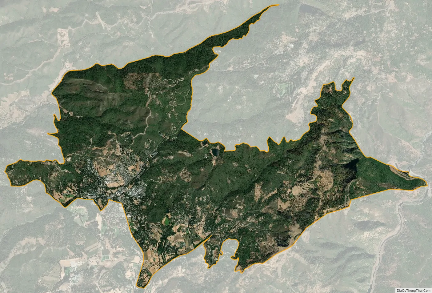
| Total Area: | 10.323 sq mi (26.738 km²) |
| Land Area: | 10.321 sq mi (26.732 km²) |
| Water Area: | 0.002 sq mi (0.006 km²) 0.02% |
| Total Population: | 2,213 |
| Population Density: | 210/sq mi (83/km²) |
| ZIP code: | 95247, 95229 |
| Area code: | 209 |
| FIPS code: | 0650034 |
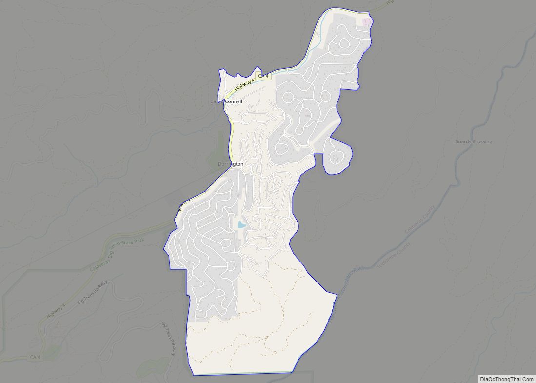
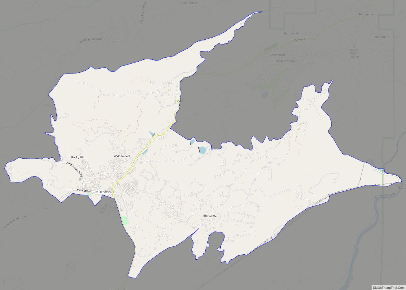
Online Interactive Map
Click on ![]() to view map in "full screen" mode.
to view map in "full screen" mode.
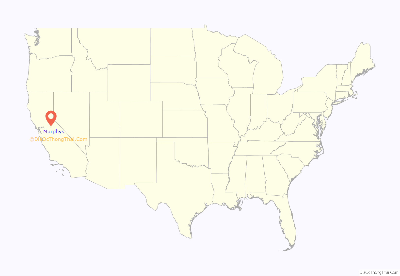
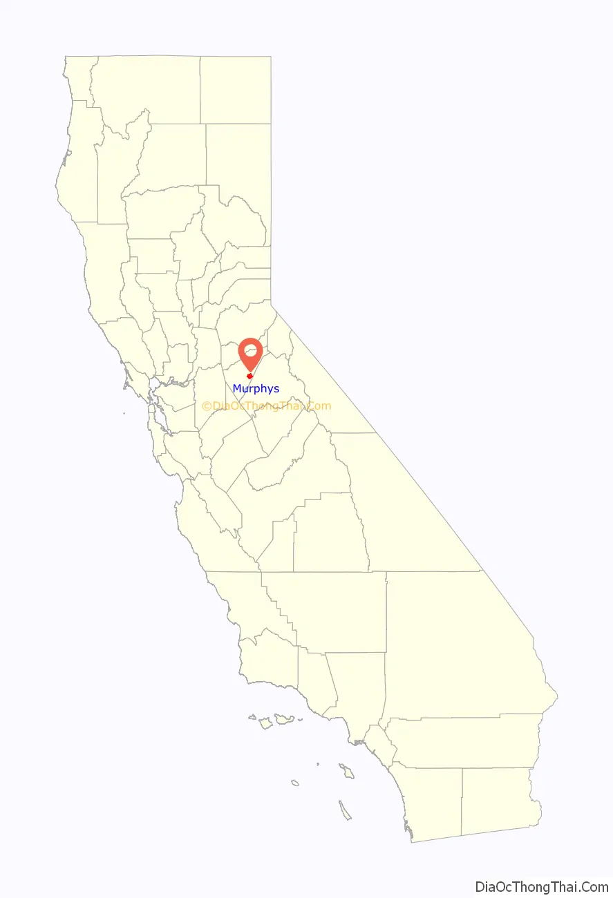
Murphys location map. Where is Murphys CDP?
History
The area around Murphys was originally occupied by the Miwok. John and Daniel Murphy were part of the Stephens-Townsend-Murphy Party, the first immigrant party to bring wagons across the Sierra Nevada to Sutter’s Fort in 1844. They earned a living as merchants, but like many others, began prospecting when the California Gold Rush began. They first started in Vallecito, which was then known as “Murphys Old Diggings,” before moving to another location in 1848 which became “Murphys New Diggings,” “Murphy’s Camp,” and eventually just “Murphys” in 1935.
The placer mining in this location was very successful, but wreaked havoc on the natural landscape. Miners were limited to claims of 8 square feet (0.75 m) and yet many were still able to become wealthy. The Murphy brothers themselves, however, made far more money as merchants than as miners. In fact, John was so successful that he left town at the end of 1849 and never returned, having amassed a personal fortune of nearly $2 million. Roughly $20 million in gold was discovered in Murphys and the surrounding area. Two of the richest diggings were named Owlsburg and Owlburrow Flat.
Murphys was also a tourist resort destination, as the nearby giant sequoia trees in what is now Calaveras Big Trees State Park were a major draw, and they continue to be so today. After visiting, John Muir wrote in his book, The Mountains of California (1894):
Like many other mining towns, fire was its bane and the town was destroyed three times by flames, in 1859, 1874, and 1893. After the second major fire, there was little gold left to mine, and so the town was never rebuilt to its boomtown condition. However, Murphys continued to thrive as a merchant center, supplying many of the silver mines in Nevada with provisions via Ebbetts Pass. The town is registered as California Historical Landmark #275. A “Hall of Comparative Ovations” built by a chapter of the clampers still stands in Murphys. There is a “Wall of Comparative Ovations” at the Old Timers Museum on Main Street. The plaques on the wall are installed and maintained by members of E Clampus Vitus.
The first post office was established as Murphy’s in 1851. The name was changed to Murphy in 1894, and finally to Murphys in 1935.
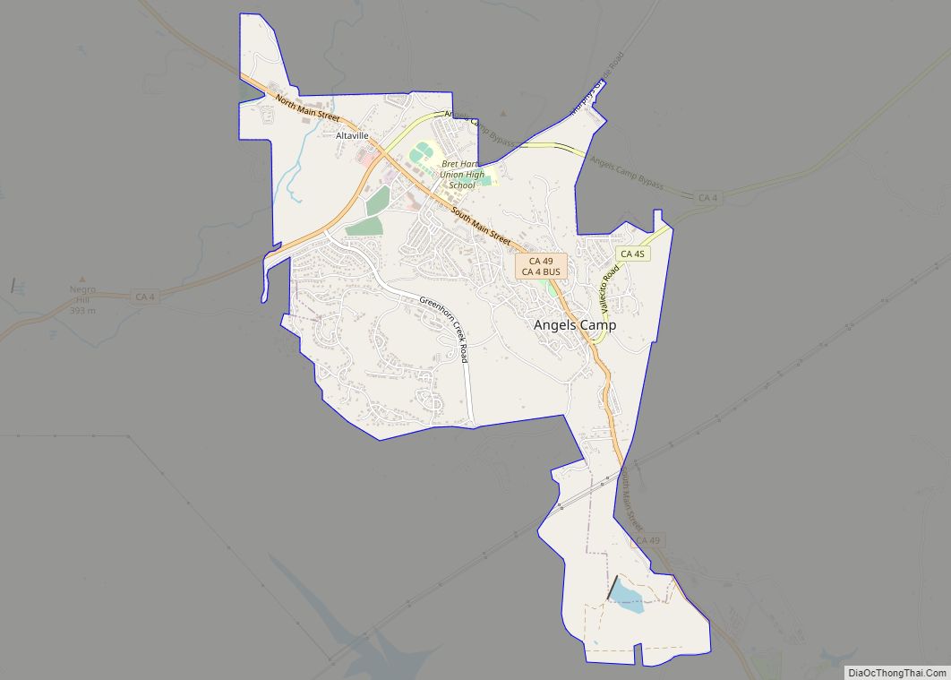
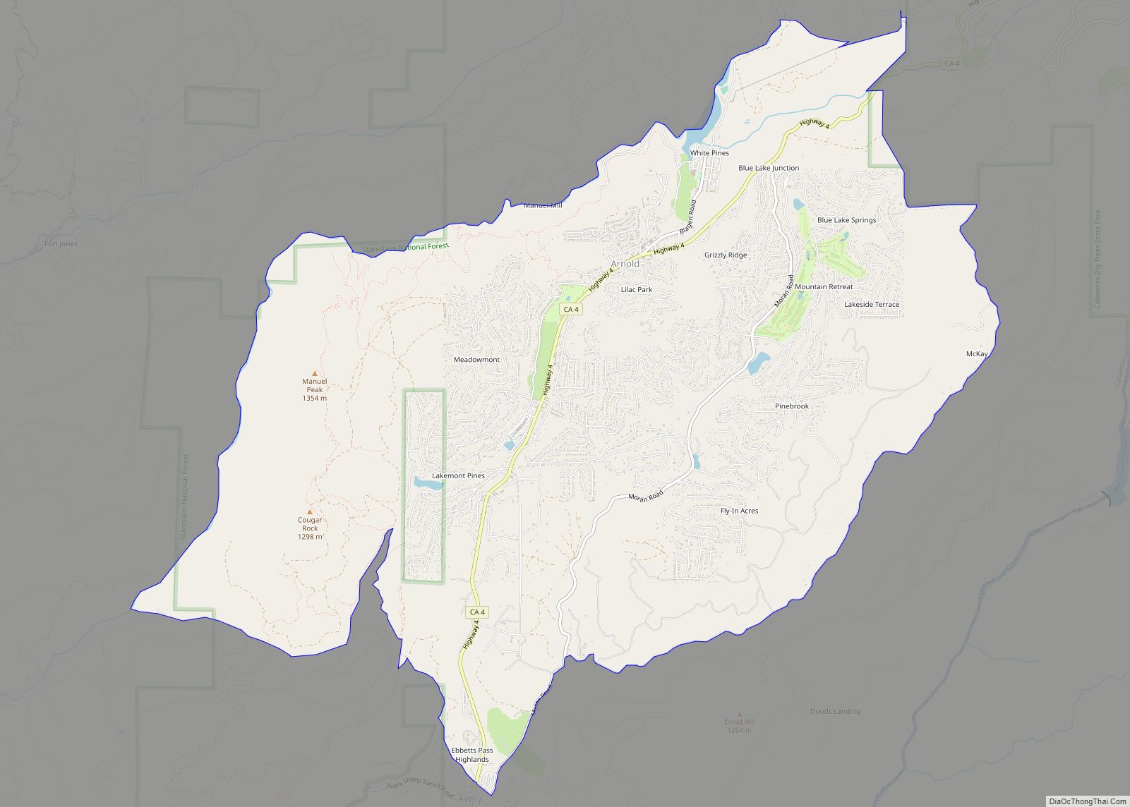
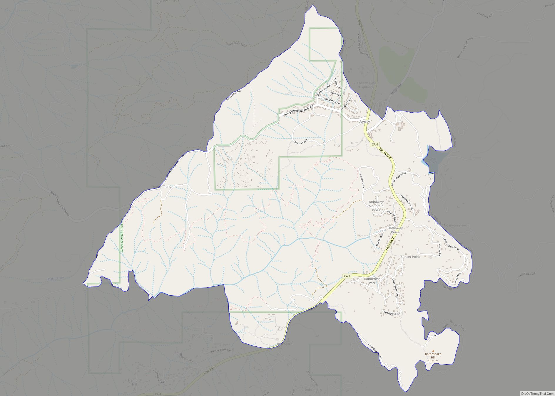
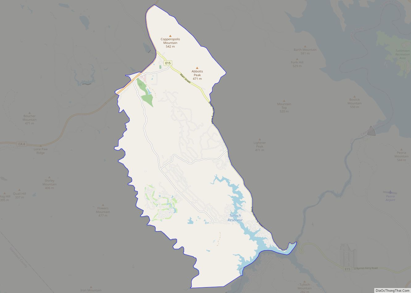
Murphys Road Map
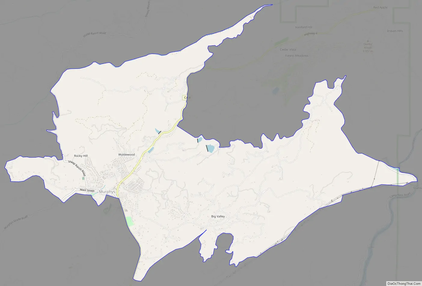
Murphys city Satellite Map
Geography
According to the United States Census Bureau, the CDP has a total area of 10.3 square miles (27 km), 99.98% of it land.
Climate
This region experiences warm to very hot, dry summers, with average monthly temperatures above 71.6 °F (22.0 °C), and many days above 100 °F (38 °C) during summer months. Winters are mild, with occasional light snowfall in the early months. According to the Köppen Climate Classification system, Murphys has a warm-summer Mediterranean climate, abbreviated “Csb” on climate maps.
See also
Map of California State and its subdivision:- Alameda
- Alpine
- Amador
- Butte
- Calaveras
- Colusa
- Contra Costa
- Del Norte
- El Dorado
- Fresno
- Glenn
- Humboldt
- Imperial
- Inyo
- Kern
- Kings
- Lake
- Lassen
- Los Angeles
- Madera
- Marin
- Mariposa
- Mendocino
- Merced
- Modoc
- Mono
- Monterey
- Napa
- Nevada
- Orange
- Placer
- Plumas
- Riverside
- Sacramento
- San Benito
- San Bernardino
- San Diego
- San Francisco
- San Joaquin
- San Luis Obispo
- San Mateo
- Santa Barbara
- Santa Clara
- Santa Cruz
- Shasta
- Sierra
- Siskiyou
- Solano
- Sonoma
- Stanislaus
- Sutter
- Tehama
- Trinity
- Tulare
- Tuolumne
- Ventura
- Yolo
- Yuba
- Alabama
- Alaska
- Arizona
- Arkansas
- California
- Colorado
- Connecticut
- Delaware
- District of Columbia
- Florida
- Georgia
- Hawaii
- Idaho
- Illinois
- Indiana
- Iowa
- Kansas
- Kentucky
- Louisiana
- Maine
- Maryland
- Massachusetts
- Michigan
- Minnesota
- Mississippi
- Missouri
- Montana
- Nebraska
- Nevada
- New Hampshire
- New Jersey
- New Mexico
- New York
- North Carolina
- North Dakota
- Ohio
- Oklahoma
- Oregon
- Pennsylvania
- Rhode Island
- South Carolina
- South Dakota
- Tennessee
- Texas
- Utah
- Vermont
- Virginia
- Washington
- West Virginia
- Wisconsin
- Wyoming