Myers Flat (formerly Myers) is a census-designated place in Humboldt County, California. It is located 4.5 miles (7.2 km) south-southeast of Weott, at an elevation of 203 feet (62 m). The ZIP Code is 95554. The population was 146 at the 2010 census.
Originally called Myers from the Grant Myers Ranch, “Flat” was added to the name to distinguish the place from Meyers in El Dorado County.
The Myers Flat post office opened in 1949.
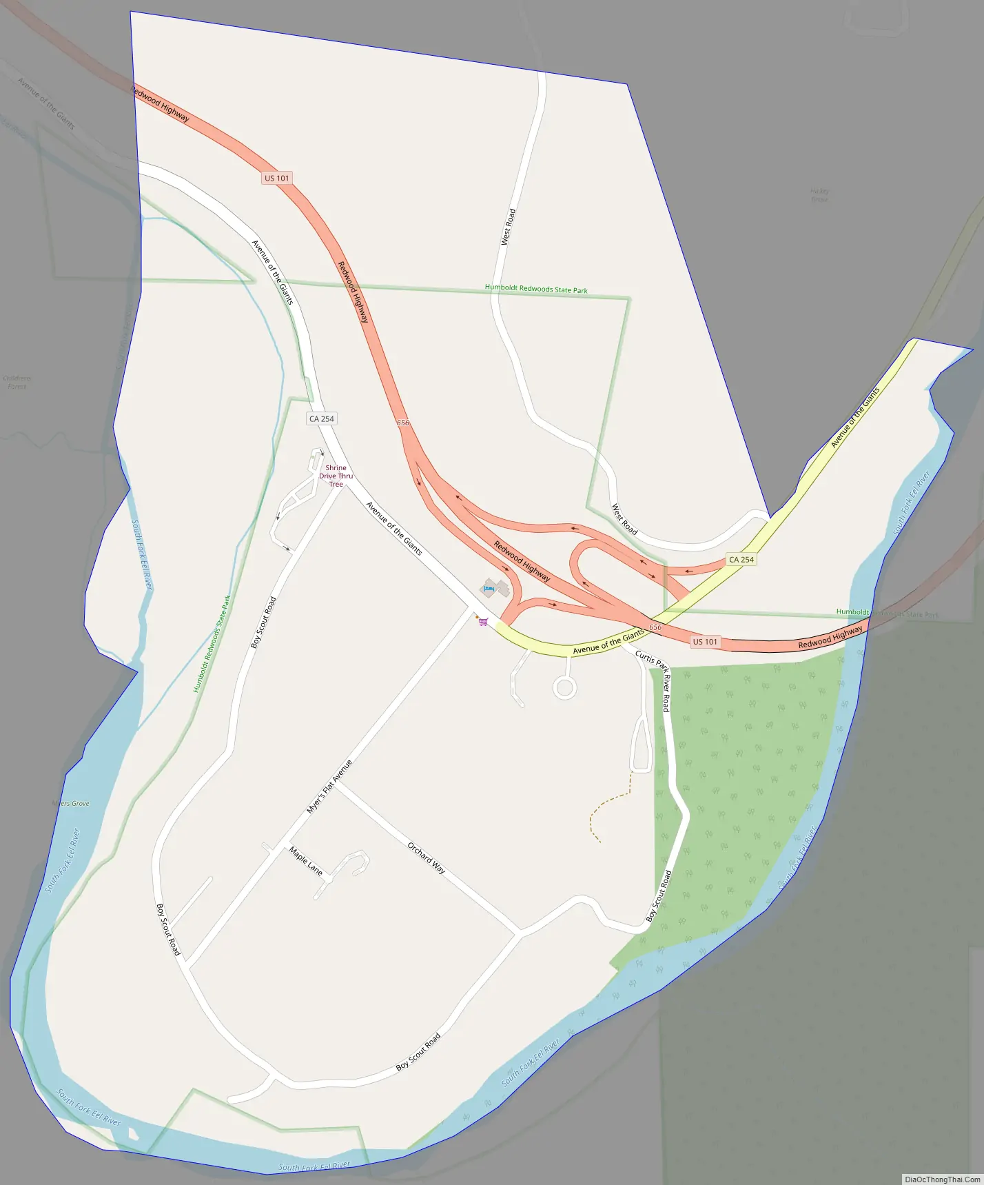
Myers Flat is located along the California State Route 254, also known as Avenue of the Giants. The US Post Office’s ZIP Code is 95554. The community is inside area code 707.
| Name: | Myers Flat CDP |
|---|---|
| LSAD Code: | 57 |
| LSAD Description: | CDP (suffix) |
| State: | California |
| County: | Humboldt County |
| Elevation: | 203 ft (62 m) |
| Total Area: | 0.487 sq mi (1.261 km²) |
| Land Area: | 0.432 sq mi (1.119 km²) |
| Water Area: | 0.055 sq mi (0.142 km²) 11.3% |
| Total Population: | 90 |
| Population Density: | 180/sq mi (71/km²) |
| ZIP code: | 95554 |
| Area code: | 707 |
| FIPS code: | 0650146 |
Online Interactive Map
Click on ![]() to view map in "full screen" mode.
to view map in "full screen" mode.
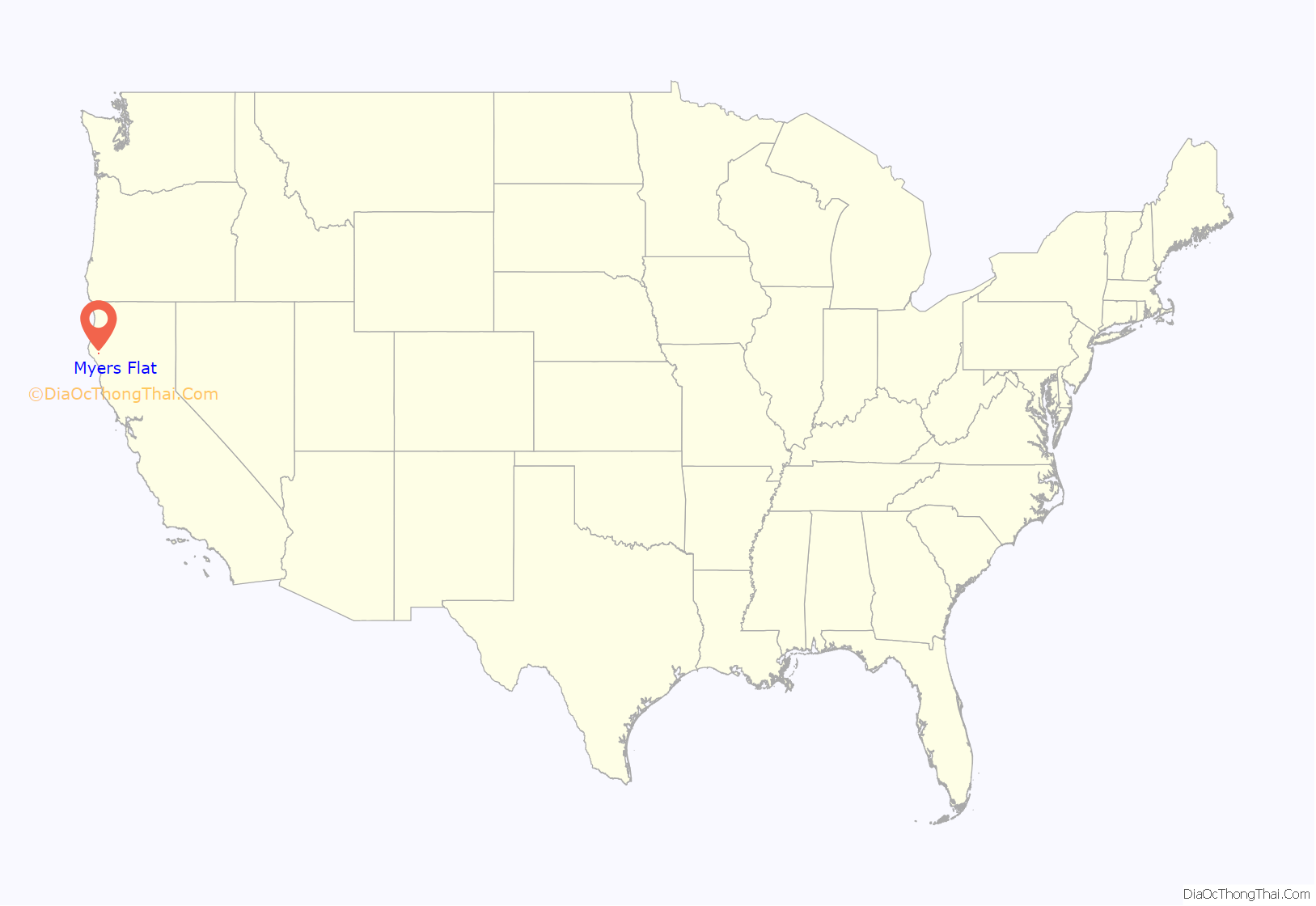
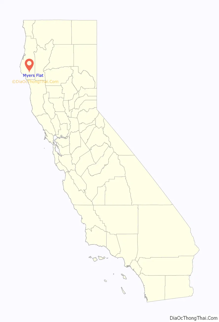
Myers Flat location map. Where is Myers Flat CDP?
History
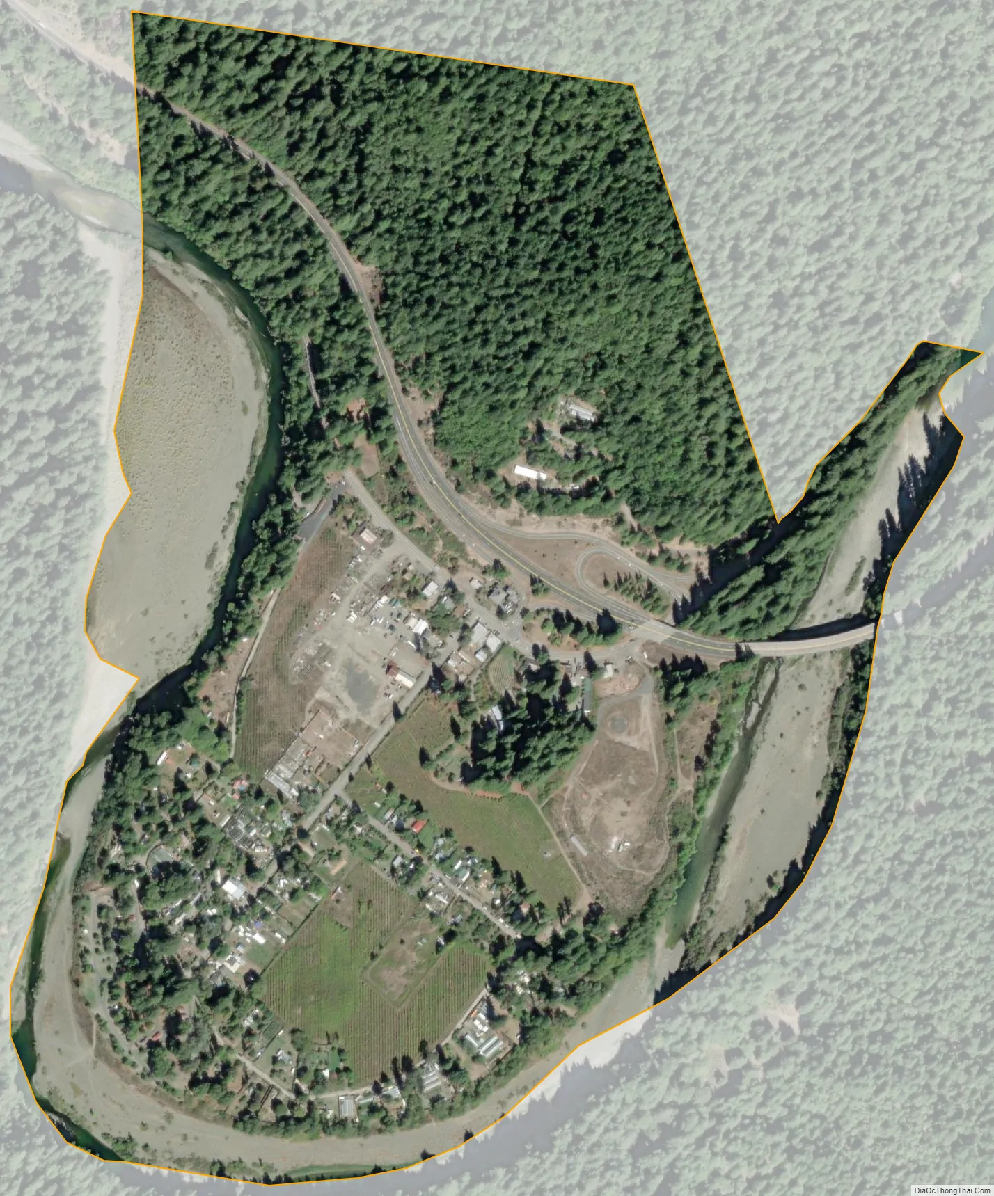
Myers Flat was founded by the Myers family in the mid-19th century. The Myerses were some of the first homesteaders in the area, growing apples, pears, sweet potatoes, and corn. The town initially served as a coach stop for travelers on their way to San Francisco. The Morrison-Jackson mill was started and remained active for a long time – until the mid-1980s, when the mill closed down. The old mill site and most of its land are now a part of Riverbend Cellars and much of the land is covered in grape vineyards. Much of the town was destroyed in the Christmas flood of 1964. Because of its low elevation and proximity to the Eel River, the town still has problems with flooding. The town lies below the 100-year flood line. Much of the town consists of trailers and cabins, and some people have homes built to withstand floodwaters.
Myers Flat Road Map
Myers Flat city Satellite Map
See also
Map of California State and its subdivision:- Alameda
- Alpine
- Amador
- Butte
- Calaveras
- Colusa
- Contra Costa
- Del Norte
- El Dorado
- Fresno
- Glenn
- Humboldt
- Imperial
- Inyo
- Kern
- Kings
- Lake
- Lassen
- Los Angeles
- Madera
- Marin
- Mariposa
- Mendocino
- Merced
- Modoc
- Mono
- Monterey
- Napa
- Nevada
- Orange
- Placer
- Plumas
- Riverside
- Sacramento
- San Benito
- San Bernardino
- San Diego
- San Francisco
- San Joaquin
- San Luis Obispo
- San Mateo
- Santa Barbara
- Santa Clara
- Santa Cruz
- Shasta
- Sierra
- Siskiyou
- Solano
- Sonoma
- Stanislaus
- Sutter
- Tehama
- Trinity
- Tulare
- Tuolumne
- Ventura
- Yolo
- Yuba
- Alabama
- Alaska
- Arizona
- Arkansas
- California
- Colorado
- Connecticut
- Delaware
- District of Columbia
- Florida
- Georgia
- Hawaii
- Idaho
- Illinois
- Indiana
- Iowa
- Kansas
- Kentucky
- Louisiana
- Maine
- Maryland
- Massachusetts
- Michigan
- Minnesota
- Mississippi
- Missouri
- Montana
- Nebraska
- Nevada
- New Hampshire
- New Jersey
- New Mexico
- New York
- North Carolina
- North Dakota
- Ohio
- Oklahoma
- Oregon
- Pennsylvania
- Rhode Island
- South Carolina
- South Dakota
- Tennessee
- Texas
- Utah
- Vermont
- Virginia
- Washington
- West Virginia
- Wisconsin
- Wyoming


