Nicasio (/nɪˈkɑːsi.oʊ/ nih-KAH-see-oh; Spanish for “Nicasius”) is an unincorporated community and census-designated place in Marin County, California, United States. It is located 8 miles (13 km) west-southwest of Novato, at an elevation of 194 feet (59 m). As of the 2020 census the CDP population was 81, while population estimates for the surrounding area range from about 600 to about 900 people.
Within Nicasio and the surrounding area are about 250 homes located on approximately 350 parcels. Much of the land is still used for agricultural purposes including beef and dairy cattle grazing, small-scale truck farming (including organic farming), and the raising of forage. Several small vineyards have also been recently established. Next to Rancho Nicasio within the town of Nicasio is an organic farm, AllStar Organics, owned and operated by Janet Brown and Marty Jacobson; Janet is the vice-president of Marin Organic, Marin County’s non-profit organic association. Just north of Nicasio Reservoir is Fairlea Ranch, where pedigree longhorn cattle are raised. The most significant non-agricultural business within Nicasio is George Lucas’ Skywalker Ranch, a part of Lucasfilm Ltd. According to a 2004 Forbes magazine real estate survey, Nicasio is the 23rd most expensive ZIP code in the US. Nicasio has the highest per capita income ($211,993) of any census-designated place in California.
Centrally located in this area is the small village of Nicasio itself. The village is in area codes 415/628. The town center has a post office (ZIP code 94946), a general store, a tiny real estate office, St. Mary’s Catholic Church (established in 1867), Nicasio Volunteer Fire Department, a baseball field located in the town square, the Rancho Nicasio Bar & Restaurant, a Druid’s Hall, as well as a number of private homes. The town was founded in the early 19th century to support local agricultural, timber, and fishing activities. The town once contained the twenty-two-room Hotel Nicasio, which opened in 1867 but burned down in December 1940. Just north of town on Nicasio Valley Road next to the modern-day school building for Nicasio School District is a one-room schoolhouse that opened in 1871. The building is currently a listed historical landmark. The Nicasio post office opened in 1871, closed in 1899, and reopened in 1900.
In 2008, Dewey Livingston wrote a detailed history of the region titled Nicasio: The Historic Valley at the Center of Marin.
| Name: | Nicasio CDP |
|---|---|
| LSAD Code: | 57 |
| LSAD Description: | CDP (suffix) |
| State: | California |
| County: | Marin County |
| Elevation: | 194 ft (59 m) |
| Total Area: | 1.305 sq mi (3.38 km²) |
| Land Area: | 1.305 sq mi (3.38 km²) |
| Water Area: | 0 sq mi (0 km²) 0% |
| Total Population: | 81 |
| Population Density: | 62/sq mi (24/km²) |
| ZIP code: | 94946 |
| FIPS code: | 0651280 |
Online Interactive Map
Click on ![]() to view map in "full screen" mode.
to view map in "full screen" mode.
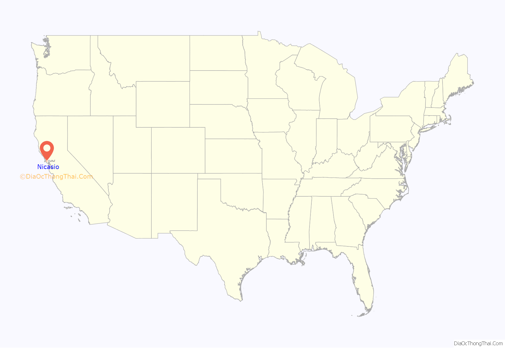
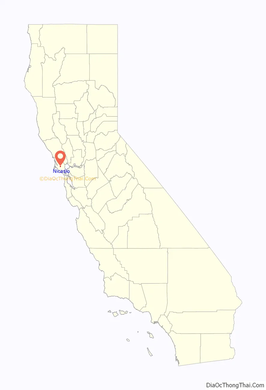
Nicasio location map. Where is Nicasio CDP?
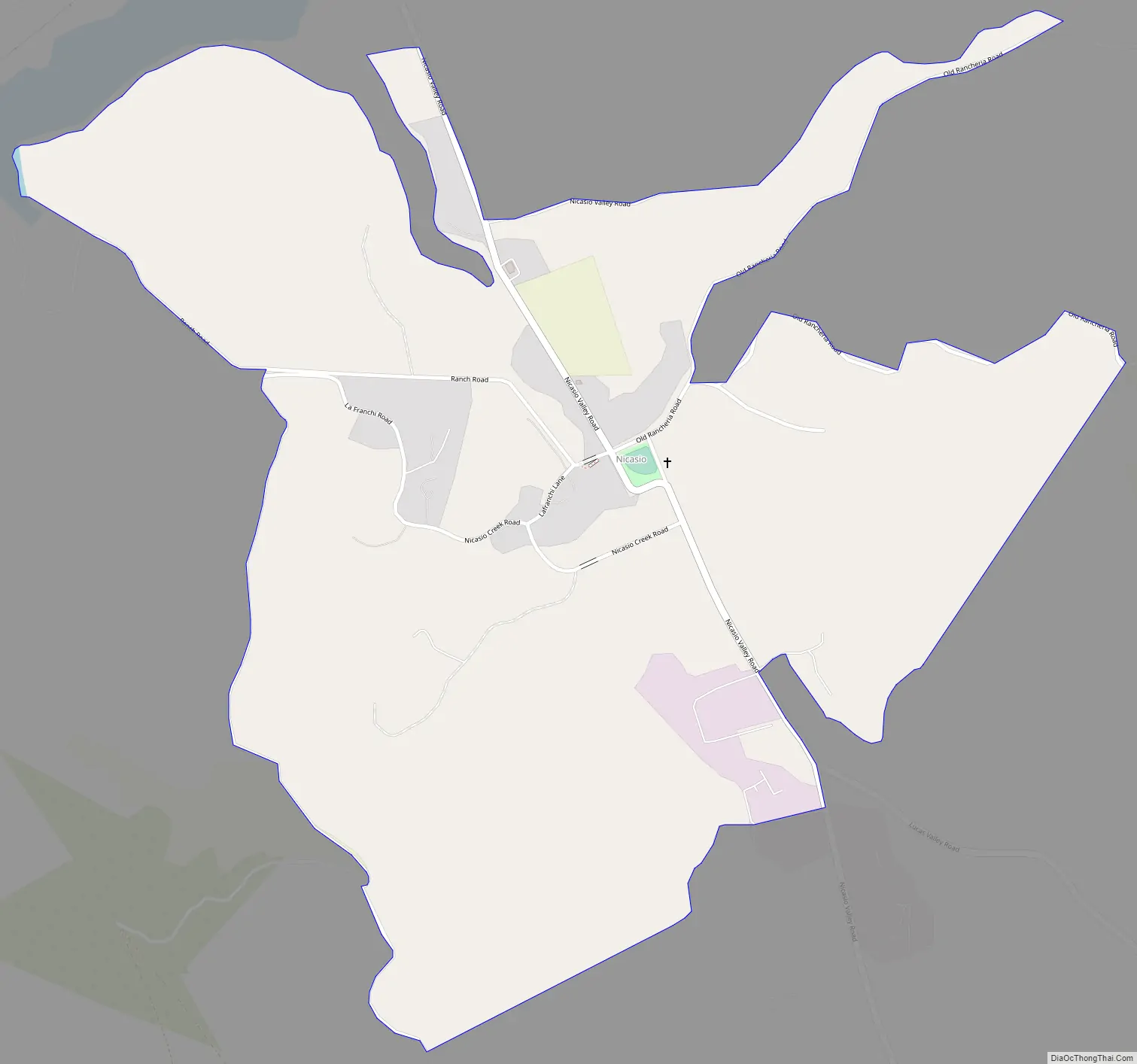
Nicasio Road Map
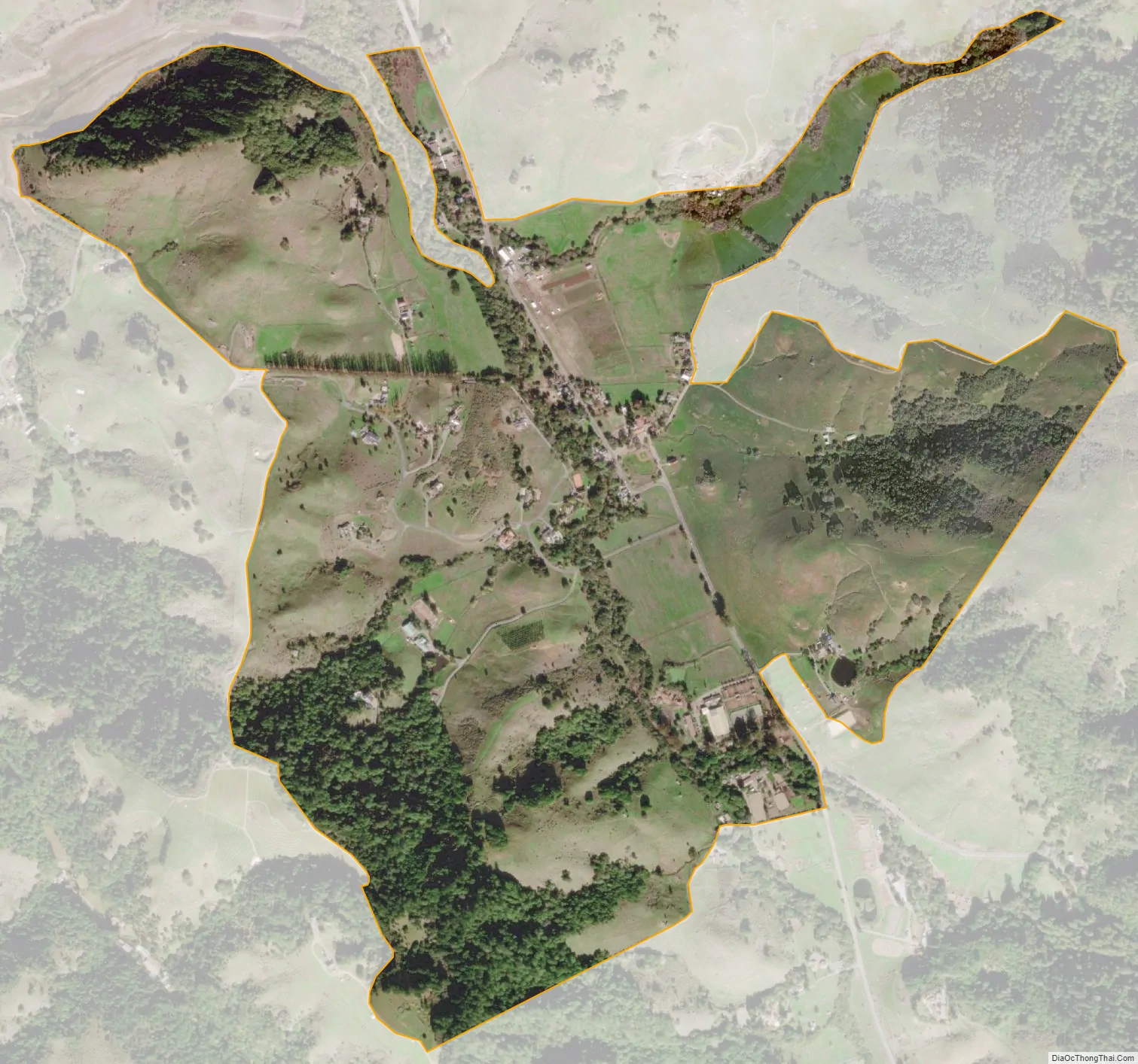
Nicasio city Satellite Map
Geography
The Nicasio region is a hydrologic zone containing the four main drainages of Nicasio Creek up to the ridgelines defining their basin. It includes the south fork of Nicasio Creek extending from Moon Hill, along the ridge separating Nicasio from San Geronimo and Samuel P. Taylor State Park, and extending northwest towards the northern end of Platform Bridge Road; the east fork (Lucas Valley fork) of Nicasio Creek extending from Loma Alta and the ridge on the north side of Sir Francis Drake Boulevard, extending up through Big Rock and up towards Big-Rock Ridge; the Halleck Creek drainage, up to the ridges separating Nicasio from Novato; the northern drainages extending along the ridgelines of Rocky Ridge, Hicks Mountain and Black Mountain.
A major landmark in the area is the man-made Nicasio Reservoir. Nicasio is surrounded by forested and open ridge lines surrounding a wide rolling valley. The area along Lucas Valley Road follows a narrow valley with mostly forested hillsides above it. Oak, bay, and fir trees are common in the area, and along some of the creeks stands of redwoods are still found. Wildlife is abundant; the Nicasio chickadee, a subspecies of the chestnut-backed chickadee, was named by Robert Ridgway. Three main roads cross the area: Lucas Valley Road, Nicasio Valley Road, and the Point Reyes-Petaluma Road. Important pieces of public land in the surrounding area include Point Reyes National Seashore, portions of the Golden Gate National Recreation Area, and Samuel P. Taylor State Park.
See also
Map of California State and its subdivision:- Alameda
- Alpine
- Amador
- Butte
- Calaveras
- Colusa
- Contra Costa
- Del Norte
- El Dorado
- Fresno
- Glenn
- Humboldt
- Imperial
- Inyo
- Kern
- Kings
- Lake
- Lassen
- Los Angeles
- Madera
- Marin
- Mariposa
- Mendocino
- Merced
- Modoc
- Mono
- Monterey
- Napa
- Nevada
- Orange
- Placer
- Plumas
- Riverside
- Sacramento
- San Benito
- San Bernardino
- San Diego
- San Francisco
- San Joaquin
- San Luis Obispo
- San Mateo
- Santa Barbara
- Santa Clara
- Santa Cruz
- Shasta
- Sierra
- Siskiyou
- Solano
- Sonoma
- Stanislaus
- Sutter
- Tehama
- Trinity
- Tulare
- Tuolumne
- Ventura
- Yolo
- Yuba
- Alabama
- Alaska
- Arizona
- Arkansas
- California
- Colorado
- Connecticut
- Delaware
- District of Columbia
- Florida
- Georgia
- Hawaii
- Idaho
- Illinois
- Indiana
- Iowa
- Kansas
- Kentucky
- Louisiana
- Maine
- Maryland
- Massachusetts
- Michigan
- Minnesota
- Mississippi
- Missouri
- Montana
- Nebraska
- Nevada
- New Hampshire
- New Jersey
- New Mexico
- New York
- North Carolina
- North Dakota
- Ohio
- Oklahoma
- Oregon
- Pennsylvania
- Rhode Island
- South Carolina
- South Dakota
- Tennessee
- Texas
- Utah
- Vermont
- Virginia
- Washington
- West Virginia
- Wisconsin
- Wyoming


