North Edwards (formerly, Edgemont Acres and North Muroc) is a census-designated place (CDP) in Kern County, California. Situated in the Mojave Desert, North Edwards is located about 7.2 miles (11.6 km) north-east of Edwards Air Force Base, at an elevation of 2,293 feet (699 m). As of the 2010 census it had a population of 1,058.
| Name: | North Edwards CDP |
|---|---|
| LSAD Code: | 57 |
| LSAD Description: | CDP (suffix) |
| State: | California |
| County: | Kern County |
| Elevation: | 2,293 ft (699 m) |
| Total Area: | 12.746 sq mi (33.012 km²) |
| Land Area: | 12.746 sq mi (33.012 km²) |
| Water Area: | 0 sq mi (0 km²) 0% |
| Total Population: | 1,058 |
| Population Density: | 83/sq mi (32/km²) |
| ZIP code: | 93523 |
| FIPS code: | 0651812 |
| GNISfeature ID: | 1661115 |
Online Interactive Map
Click on ![]() to view map in "full screen" mode.
to view map in "full screen" mode.
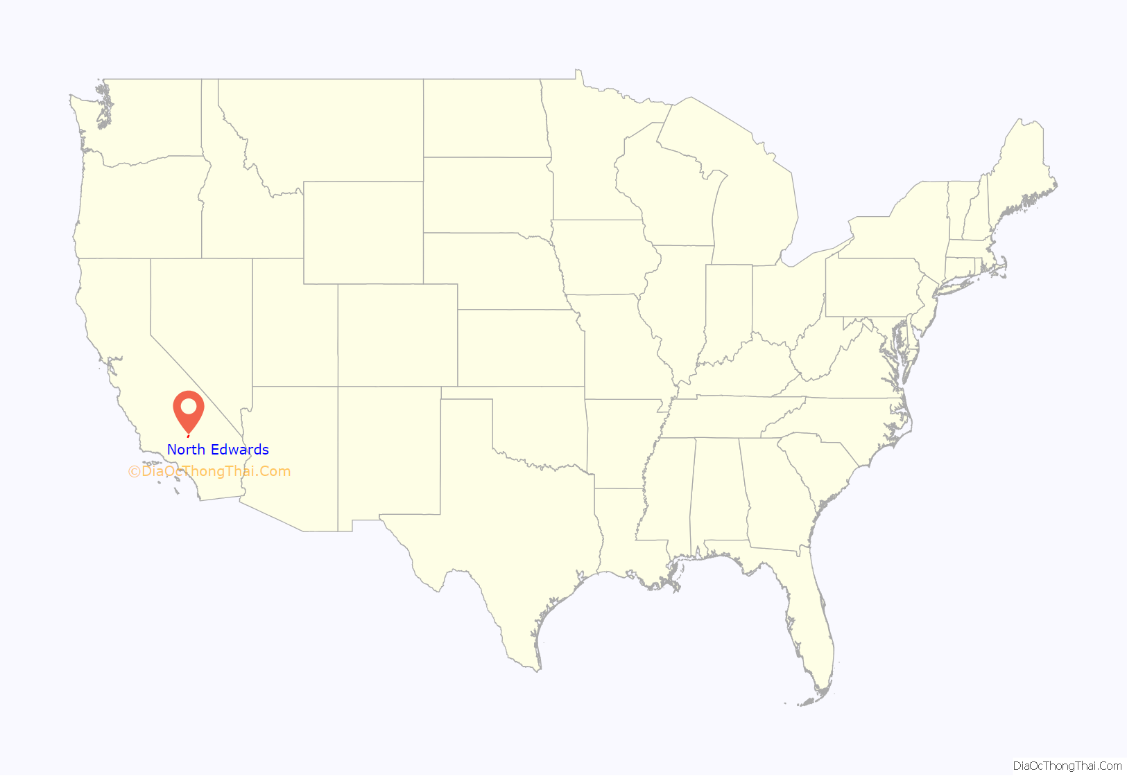
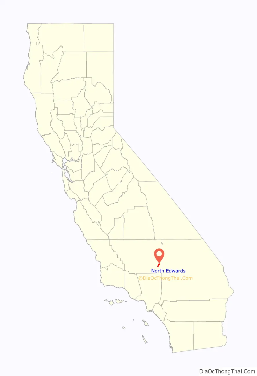
North Edwards location map. Where is North Edwards CDP?
History
A developer announced in June 1955 that he was building houses on Clay Mine Road, within 2 miles (3 km) of the north gate of the military installation. Soon construction was underway by other builders. In March 1960, the Boron Enterprise reported that in the “bustling community” north of the base, more than 1,000 residents were living in a half dozen subdivisions. In the following year, the community was named North Edwards.
A chamber of commerce was organized in October 1958. It aimed to advance the civic, commercial, and industrial interests of the community, as well as foster beneficial social developments. Moreover, the organization hoped to exert “controlled guidance” in the community rather than allow “uncontrolled mushroom growth”. By August 1957, volunteer firemen were constructing a fire station and receiving instruction in fire fighting from Kern County firemen stationed at Boron. The county assigned the volunteers a fire engine. Construction of the first phase of a shopping center began in March 1959 and it was ready for business by October. Thomas Stovall, formerly a Bakersfield retailer, opened a supermarket. Soon other merchants joined him. After the consolidation of several local water companies, two remained to serve the community, the Edgemont Acres Mutual Water Company organized in October 1960 and the North Edwards Water District formed in January 1987.
In May 1967 the Chamber of Commerce sponsored a community event called Western Silver Days. In a parade were a variety of floats, decorated cars, and marching units. Food was available at the firehouse and the local merchants and those of Boron donated goods and services as door prizes. Under the pastorate of the Reverend Thomas Morgan, the First Southern Baptist Church was built in June 1959. Subsequently, several other churches became a part of the community. In November 1964, the Muroc Joint Unified School District authorized a school. Upon its opening in November 1966, it accommodated kindergarten through third grade. Before opening a post office in the area of North Edwards-North Muroc, the postal authorities required the selection of a name that a majority of residents favored. Reaching an agreement proved to be difficult, and the problem was solved by establishing “Contract Branch No. 1 of the Edwards Post Office” in September 1959. In June 1961 the Chamber of Commerce and the Community League sponsored a postcard election with the understanding that all who cast votes would be willing to accept the outcome. The winning name was North Edwards and the post office opened in September 1961 with Nevajoe Roush as the postmaster.
The Kern County Planning Commission recognized North Edwards as a town in January 1963.
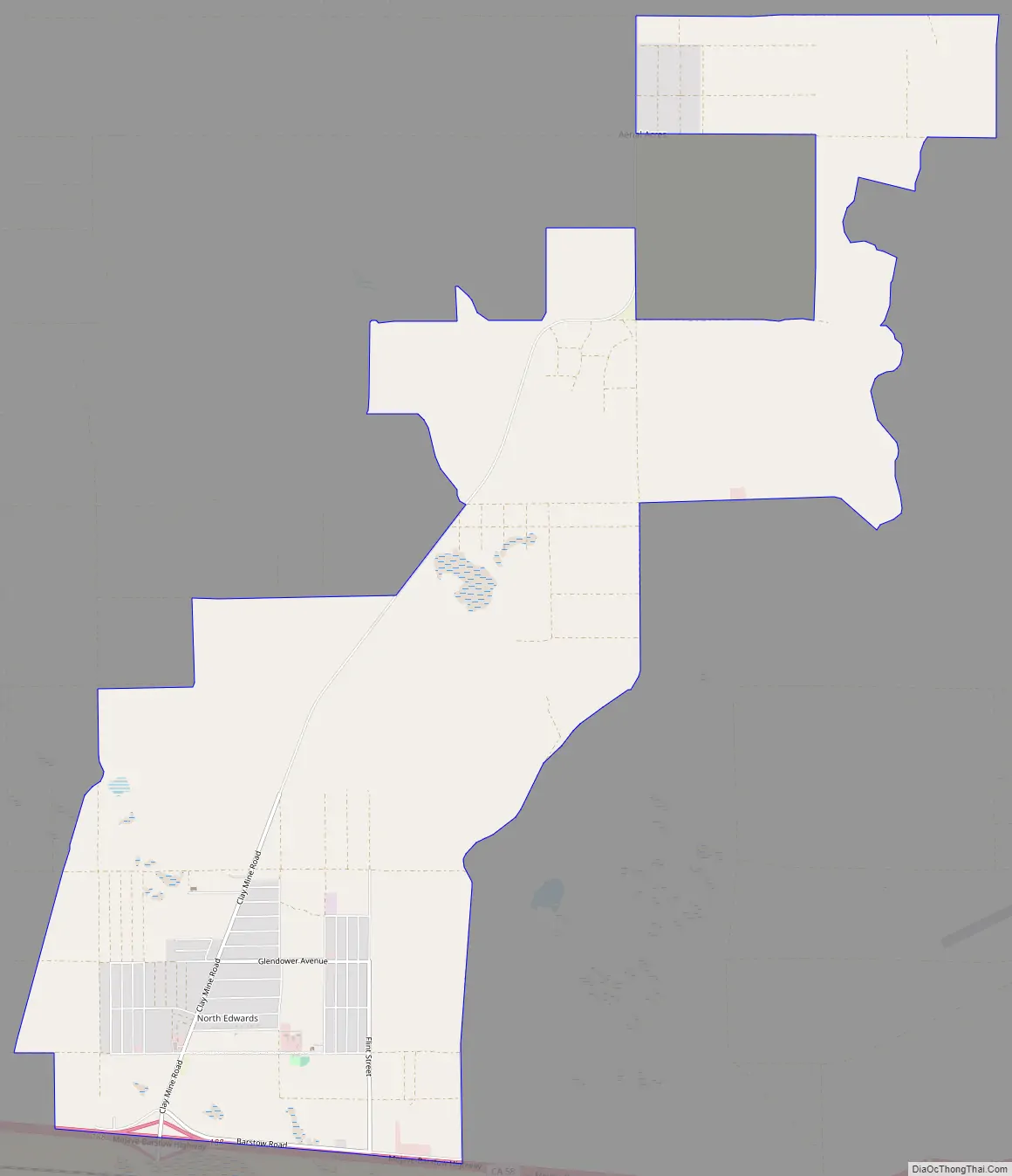
North Edwards Road Map
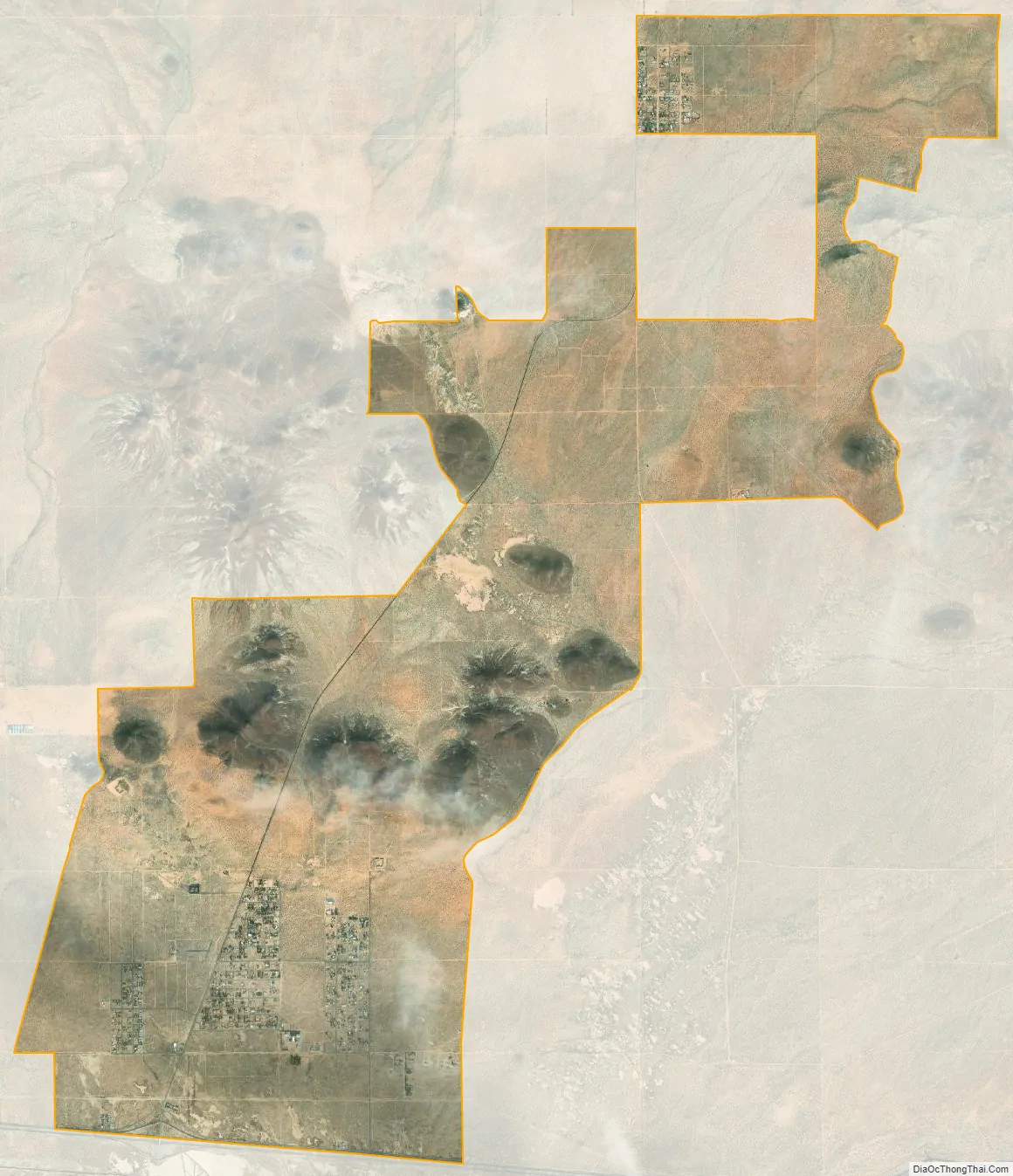
North Edwards city Satellite Map
Geography
North Edwards is located at 35°01′00″N 117°49′58″W / 35.01667°N 117.83278°W / 35.01667; -117.83278.
According to the United States Census Bureau, the CDP has a total area of 12.746 square miles (33.012 km), all of it land.
Climate
According to the Köppen Climate Classification system, North Edwards has a semi-arid climate, abbreviated “BSk” on climate maps.
See also
Map of California State and its subdivision:- Alameda
- Alpine
- Amador
- Butte
- Calaveras
- Colusa
- Contra Costa
- Del Norte
- El Dorado
- Fresno
- Glenn
- Humboldt
- Imperial
- Inyo
- Kern
- Kings
- Lake
- Lassen
- Los Angeles
- Madera
- Marin
- Mariposa
- Mendocino
- Merced
- Modoc
- Mono
- Monterey
- Napa
- Nevada
- Orange
- Placer
- Plumas
- Riverside
- Sacramento
- San Benito
- San Bernardino
- San Diego
- San Francisco
- San Joaquin
- San Luis Obispo
- San Mateo
- Santa Barbara
- Santa Clara
- Santa Cruz
- Shasta
- Sierra
- Siskiyou
- Solano
- Sonoma
- Stanislaus
- Sutter
- Tehama
- Trinity
- Tulare
- Tuolumne
- Ventura
- Yolo
- Yuba
- Alabama
- Alaska
- Arizona
- Arkansas
- California
- Colorado
- Connecticut
- Delaware
- District of Columbia
- Florida
- Georgia
- Hawaii
- Idaho
- Illinois
- Indiana
- Iowa
- Kansas
- Kentucky
- Louisiana
- Maine
- Maryland
- Massachusetts
- Michigan
- Minnesota
- Mississippi
- Missouri
- Montana
- Nebraska
- Nevada
- New Hampshire
- New Jersey
- New Mexico
- New York
- North Carolina
- North Dakota
- Ohio
- Oklahoma
- Oregon
- Pennsylvania
- Rhode Island
- South Carolina
- South Dakota
- Tennessee
- Texas
- Utah
- Vermont
- Virginia
- Washington
- West Virginia
- Wisconsin
- Wyoming


