North Shore is a census-designated place in southeastern Riverside County, so named because of its location along the northeast shore of the Salton Sea. It was once a popular vacation destination spot before ever-increasing salinity and pollution of the Salton Sea shut the tourist trade down. The population was 3,585 at the 2020 census, up from 3,477 at the 2010 census.
The town traces its beginnings to 1958 when developers Ray Ryan and Trav Rogers purchased the land on which the town would sit and began to sell individual parcels in 1960.
North Shore is notable as the home of the Sonny Bono Salton Sea National Wildlife Refuge. Established in 1930 by presidential proclamation and with an original area of over 35,000 acres (140 km), only about 2,200 manageable acres (8.9 km) remain due to flooding caused by the Salton Sea. A proposed system of dikes that will help control the increasing salinity of the Salton Sea will also serve to stop further encroachment on the refuge.
One building is particularly noteworthy. The North Shore Beach and Yacht Club, an Albert Frey design, opened in 1962 and was in active use until 1984; rising water levels destroyed the jetty in 1981, thereby making it impossible for boats to dock there. As recently as the early 2000s, it was possible to enter the lobby prior to its being boarded up, although stairs leading to the second floor had been removed prior to its abandonment. The lobby was once littered with hotel receipts from the neighboring North Shore Motel (razed in 2008) dating back to the club’s last days. The yacht club has been restored under a $3.35 million grant and since 2011 is open to the public as a Community Center and historical landmark. The Salton Sea History Museum was relocated to Mecca, California in February 2012.
North Shore is accessible via State Route 111 at the Imperial County line. The wildlife refuge and campground is a short distance south of the town.
The ZIP Code is 92254, and the community is inside area codes 442 and 760.
| Name: | North Shore CDP |
|---|---|
| LSAD Code: | 57 |
| LSAD Description: | CDP (suffix) |
| State: | California |
| County: | Riverside County |
| Elevation: | −69 ft (−21 m) |
| Total Area: | 11.177 sq mi (28.949 km²) |
| Land Area: | 11.177 sq mi (28.949 km²) |
| Water Area: | 0 sq mi (0 km²) 0% |
| Total Population: | 3,585 |
| Population Density: | 320/sq mi (120/km²) |
| ZIP code: | 92254 |
| FIPS code: | 0652302 |
| GNISfeature ID: | 2583097 |
Online Interactive Map
Click on ![]() to view map in "full screen" mode.
to view map in "full screen" mode.
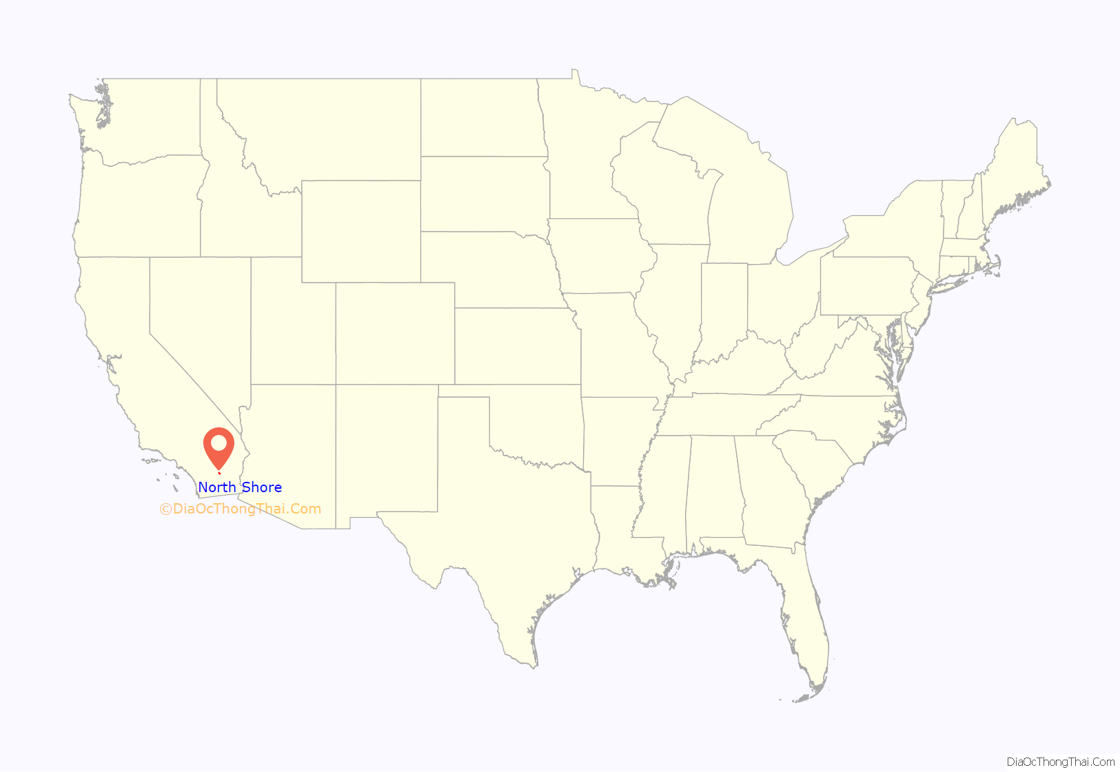
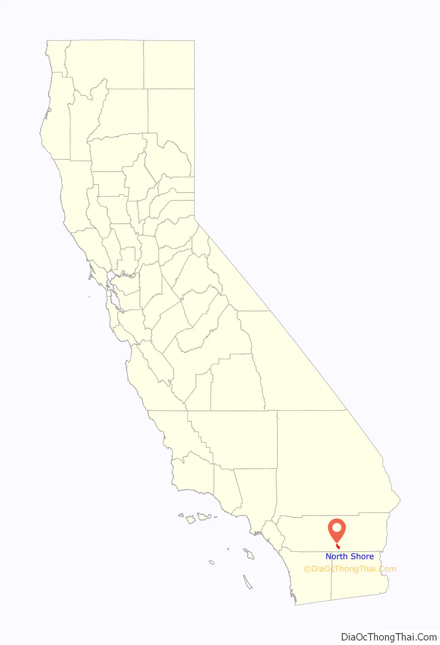
North Shore location map. Where is North Shore CDP?
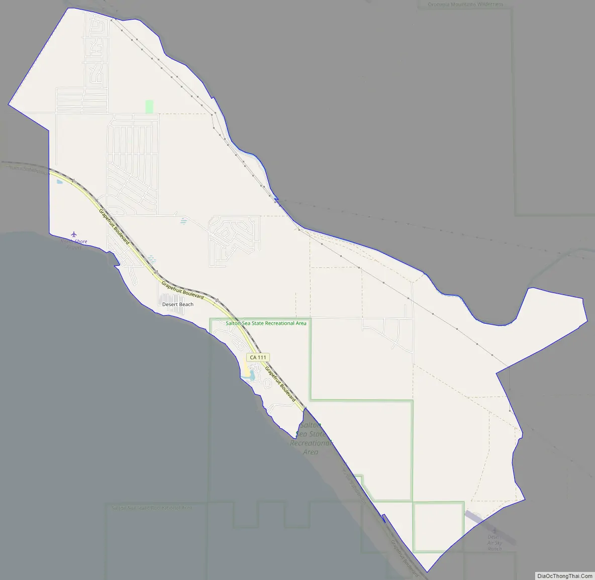
North Shore Road Map
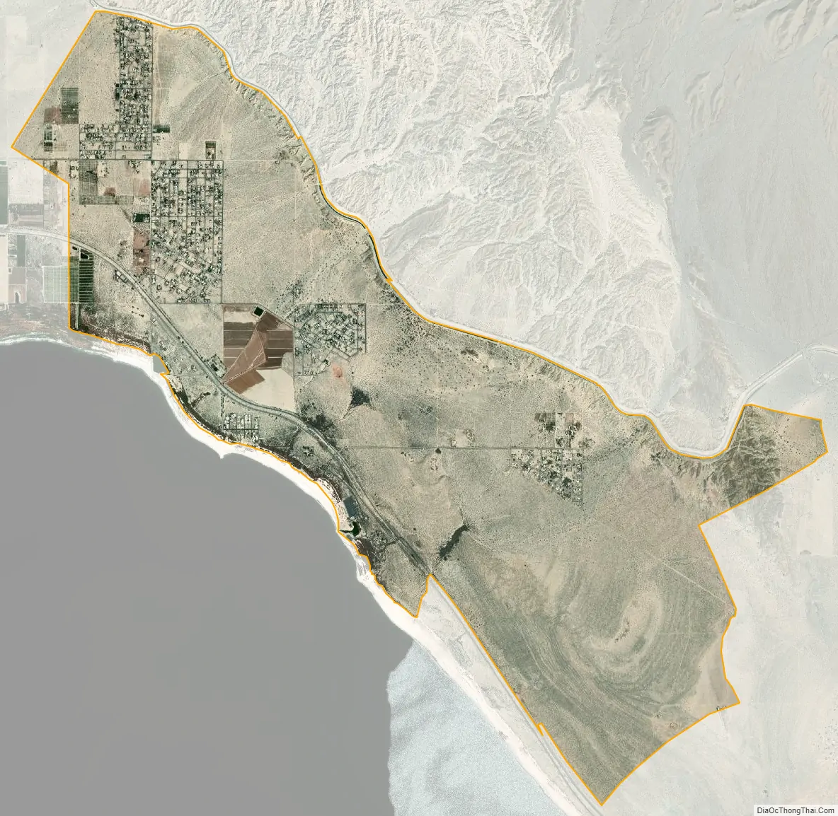
North Shore city Satellite Map
Geography
According to the United States Census Bureau, the CDP covers an area of 11.2 square miles (28.9 km), all of it land.
See also
Map of California State and its subdivision:- Alameda
- Alpine
- Amador
- Butte
- Calaveras
- Colusa
- Contra Costa
- Del Norte
- El Dorado
- Fresno
- Glenn
- Humboldt
- Imperial
- Inyo
- Kern
- Kings
- Lake
- Lassen
- Los Angeles
- Madera
- Marin
- Mariposa
- Mendocino
- Merced
- Modoc
- Mono
- Monterey
- Napa
- Nevada
- Orange
- Placer
- Plumas
- Riverside
- Sacramento
- San Benito
- San Bernardino
- San Diego
- San Francisco
- San Joaquin
- San Luis Obispo
- San Mateo
- Santa Barbara
- Santa Clara
- Santa Cruz
- Shasta
- Sierra
- Siskiyou
- Solano
- Sonoma
- Stanislaus
- Sutter
- Tehama
- Trinity
- Tulare
- Tuolumne
- Ventura
- Yolo
- Yuba
- Alabama
- Alaska
- Arizona
- Arkansas
- California
- Colorado
- Connecticut
- Delaware
- District of Columbia
- Florida
- Georgia
- Hawaii
- Idaho
- Illinois
- Indiana
- Iowa
- Kansas
- Kentucky
- Louisiana
- Maine
- Maryland
- Massachusetts
- Michigan
- Minnesota
- Mississippi
- Missouri
- Montana
- Nebraska
- Nevada
- New Hampshire
- New Jersey
- New Mexico
- New York
- North Carolina
- North Dakota
- Ohio
- Oklahoma
- Oregon
- Pennsylvania
- Rhode Island
- South Carolina
- South Dakota
- Tennessee
- Texas
- Utah
- Vermont
- Virginia
- Washington
- West Virginia
- Wisconsin
- Wyoming


