Nubieber (formerly, Big Valley City and New Town) is a census-designated place in Lassen County, California. It was located at the common terminus of the Western Pacific Railroad and the Great Northern Railway Bieber Line 3 miles (4.8 km) southwest of Bieber, at an elevation of 4121 feet (1256 m). Its population is 19 as of the 2020 census, down from 50 from the 2010 census.
The settlement was established in 1931, when the railroads were built to the place. The first post office opened the same year. The name was a version of “New Bieber”. The first person born in the settlement was Shirley Patrica Warren, daughter of Rex and Beulah Warren.
| Name: | Nubieber CDP |
|---|---|
| LSAD Code: | 57 |
| LSAD Description: | CDP (suffix) |
| State: | California |
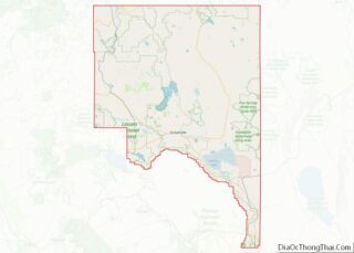
| County: | Lassen County |
| Elevation: | 4,121 ft (1,256 m) |
| Total Area: | 0.756 sq mi (1.958 km²) |
| Land Area: | 0.749 sq mi (1.939 km²) |
| Water Area: | 0.007 sq mi (0.019 km²) 0.97% |
| Total Population: | 19 |
| Population Density: | 25/sq mi (9.7/km²) |
| FIPS code: | 0652610 |
Online Interactive Map
Click on ![]() to view map in "full screen" mode.
to view map in "full screen" mode.
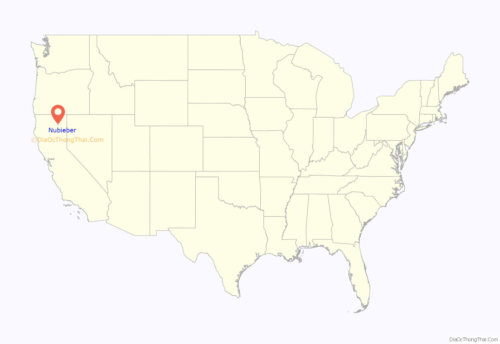
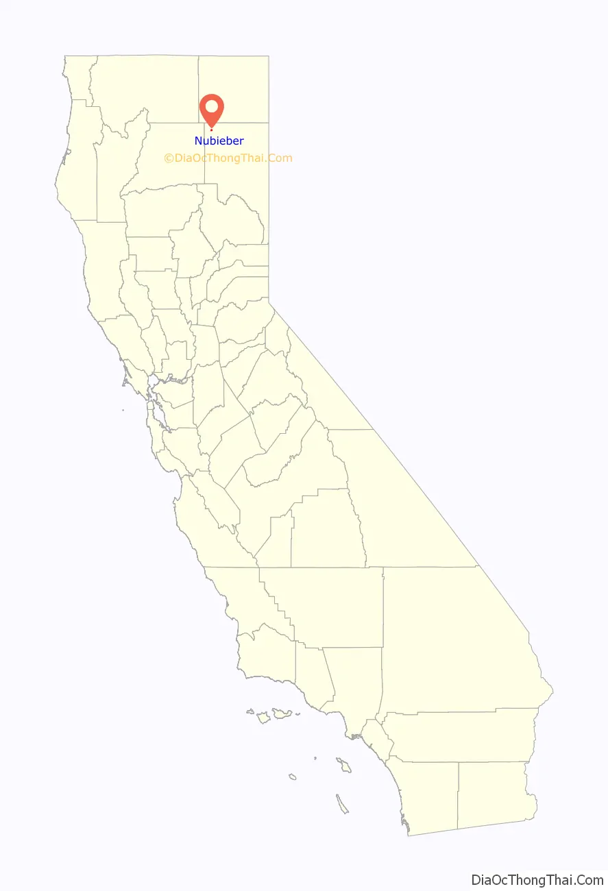
Nubieber location map. Where is Nubieber CDP?
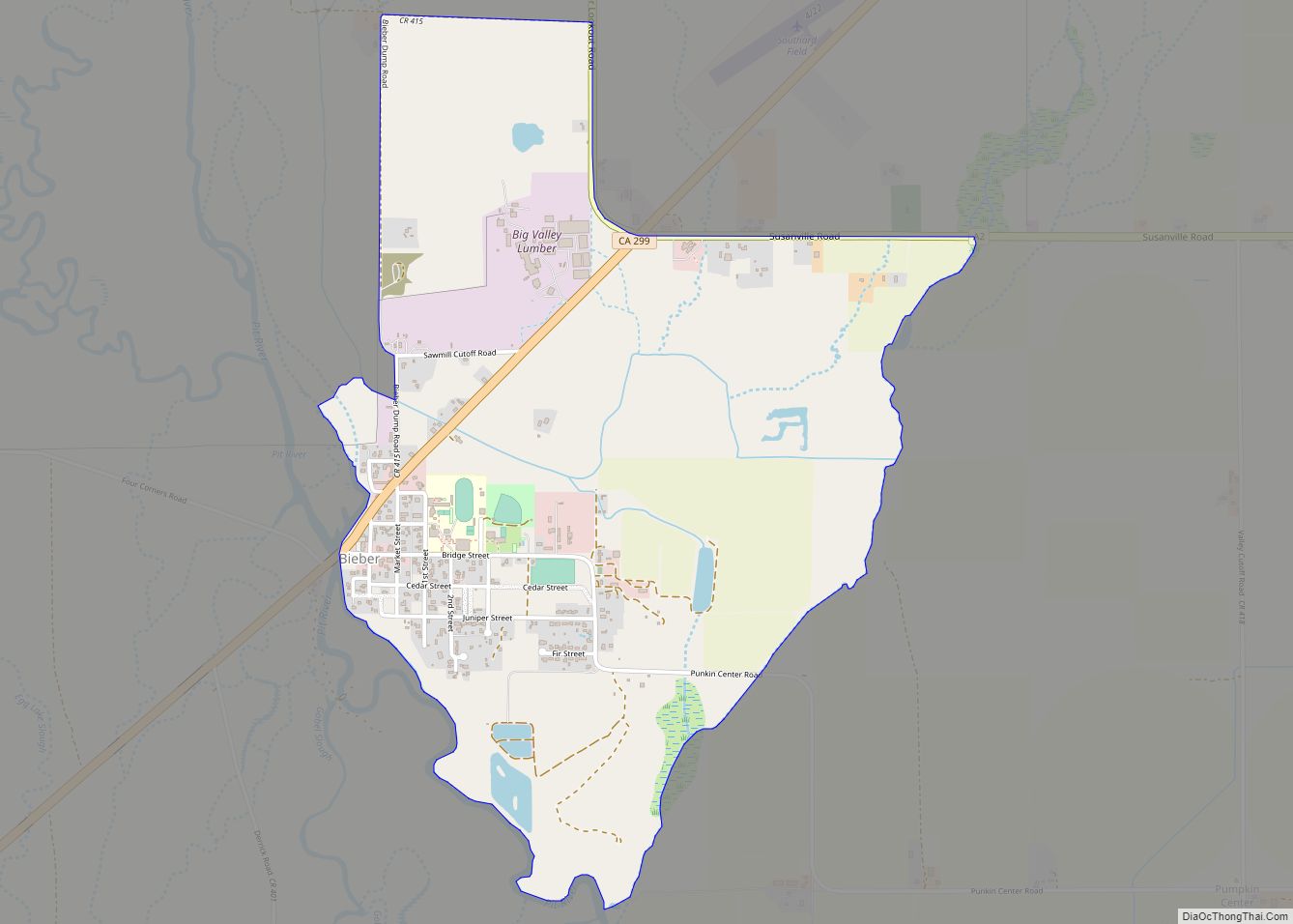
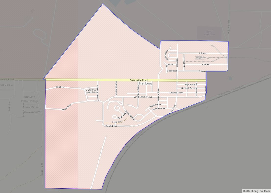
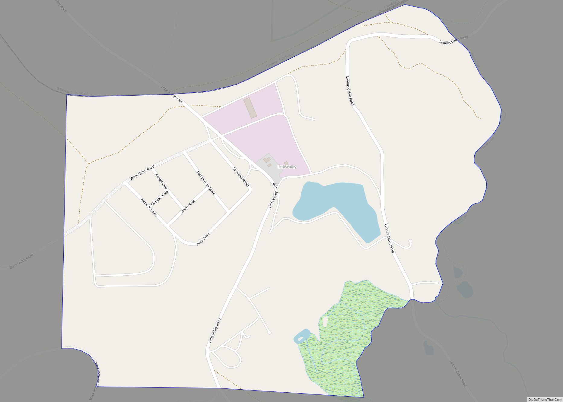
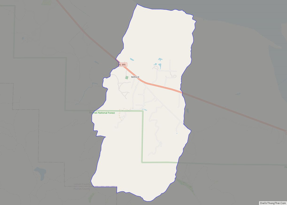
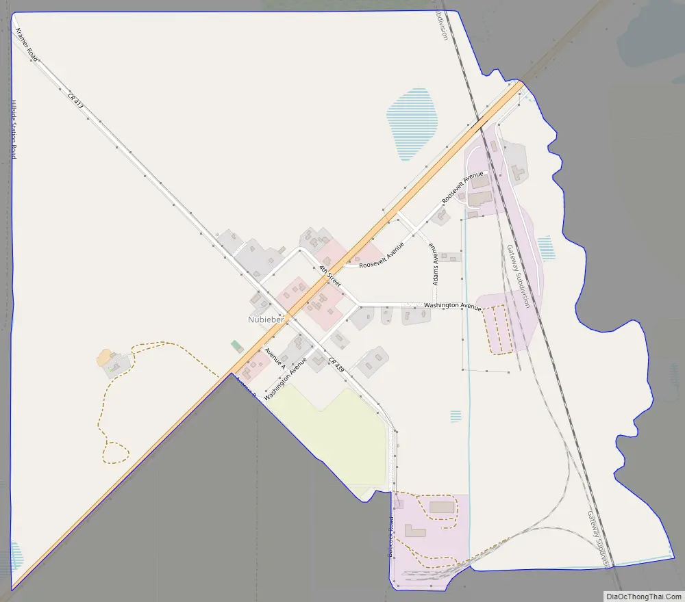
Nubieber Road Map
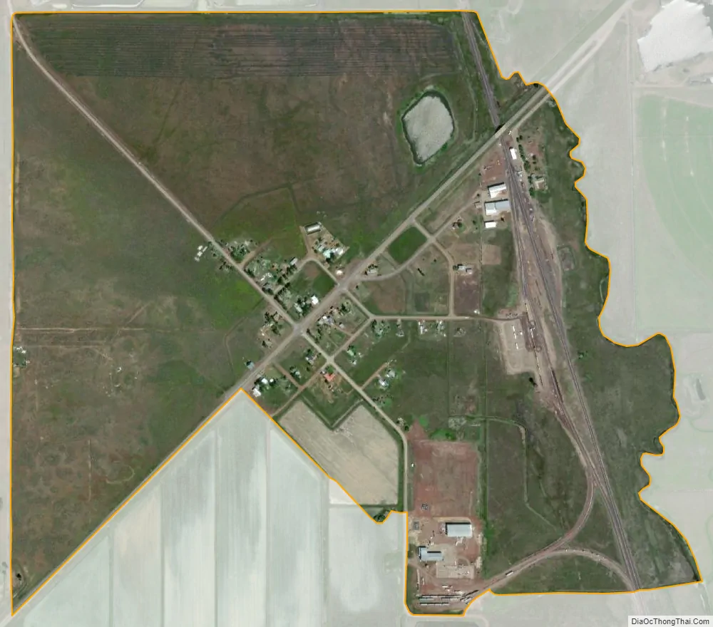
Nubieber city Satellite Map
Geography
According to the United States Census Bureau, the CDP has a total area of 0.8 square mile (2.0 km), of which over 99% is land.
See also
Map of California State and its subdivision:- Alameda
- Alpine
- Amador
- Butte
- Calaveras
- Colusa
- Contra Costa
- Del Norte
- El Dorado
- Fresno
- Glenn
- Humboldt
- Imperial
- Inyo
- Kern
- Kings
- Lake
- Lassen
- Los Angeles
- Madera
- Marin
- Mariposa
- Mendocino
- Merced
- Modoc
- Mono
- Monterey
- Napa
- Nevada
- Orange
- Placer
- Plumas
- Riverside
- Sacramento
- San Benito
- San Bernardino
- San Diego
- San Francisco
- San Joaquin
- San Luis Obispo
- San Mateo
- Santa Barbara
- Santa Clara
- Santa Cruz
- Shasta
- Sierra
- Siskiyou
- Solano
- Sonoma
- Stanislaus
- Sutter
- Tehama
- Trinity
- Tulare
- Tuolumne
- Ventura
- Yolo
- Yuba
- Alabama
- Alaska
- Arizona
- Arkansas
- California
- Colorado
- Connecticut
- Delaware
- District of Columbia
- Florida
- Georgia
- Hawaii
- Idaho
- Illinois
- Indiana
- Iowa
- Kansas
- Kentucky
- Louisiana
- Maine
- Maryland
- Massachusetts
- Michigan
- Minnesota
- Mississippi
- Missouri
- Montana
- Nebraska
- Nevada
- New Hampshire
- New Jersey
- New Mexico
- New York
- North Carolina
- North Dakota
- Ohio
- Oklahoma
- Oregon
- Pennsylvania
- Rhode Island
- South Carolina
- South Dakota
- Tennessee
- Texas
- Utah
- Vermont
- Virginia
- Washington
- West Virginia
- Wisconsin
- Wyoming