Ocotillo (American Spanish: [okoˈtiʝo]; Spanish for “Vine cactus”) is a census-designated place (CDP) in Imperial County, California. Ocotillo is located 26 miles (42 km) west of El Centro, The population was 215 at the 2020 census, down from 266 at the 2010 census and 296 at the 2000 census. It is part of the El Centro, California Metropolitan Statistical Area.
Ocotillo was devastated by floods from Hurricane Kathleen in 1976; 3 people died. There is a cafe, a church, a small park, a community center, a small market, two bars, OHV rentals and a gas station. There is a Desert Museum with displays about the desert terrain, flora, etc. and artifacts from the Kumeyaay culture that inhabited the area which is located on the north side of Interstate 8.
| Name: | Ocotillo CDP |
|---|---|
| LSAD Code: | 57 |
| LSAD Description: | CDP (suffix) |
| State: | California |
| County: | Imperial County |
| Elevation: | 377 ft (115 m) |
| Total Area: | 8.857 sq mi (22.941 km²) |
| Land Area: | 8.857 sq mi (22.941 km²) |
| Water Area: | 0 sq mi (0 km²) 0% |
| Total Population: | 266 |
| Population Density: | 30/sq mi (12/km²) |
| ZIP code: | 92259 |
| FIPS code: | 0653378 |
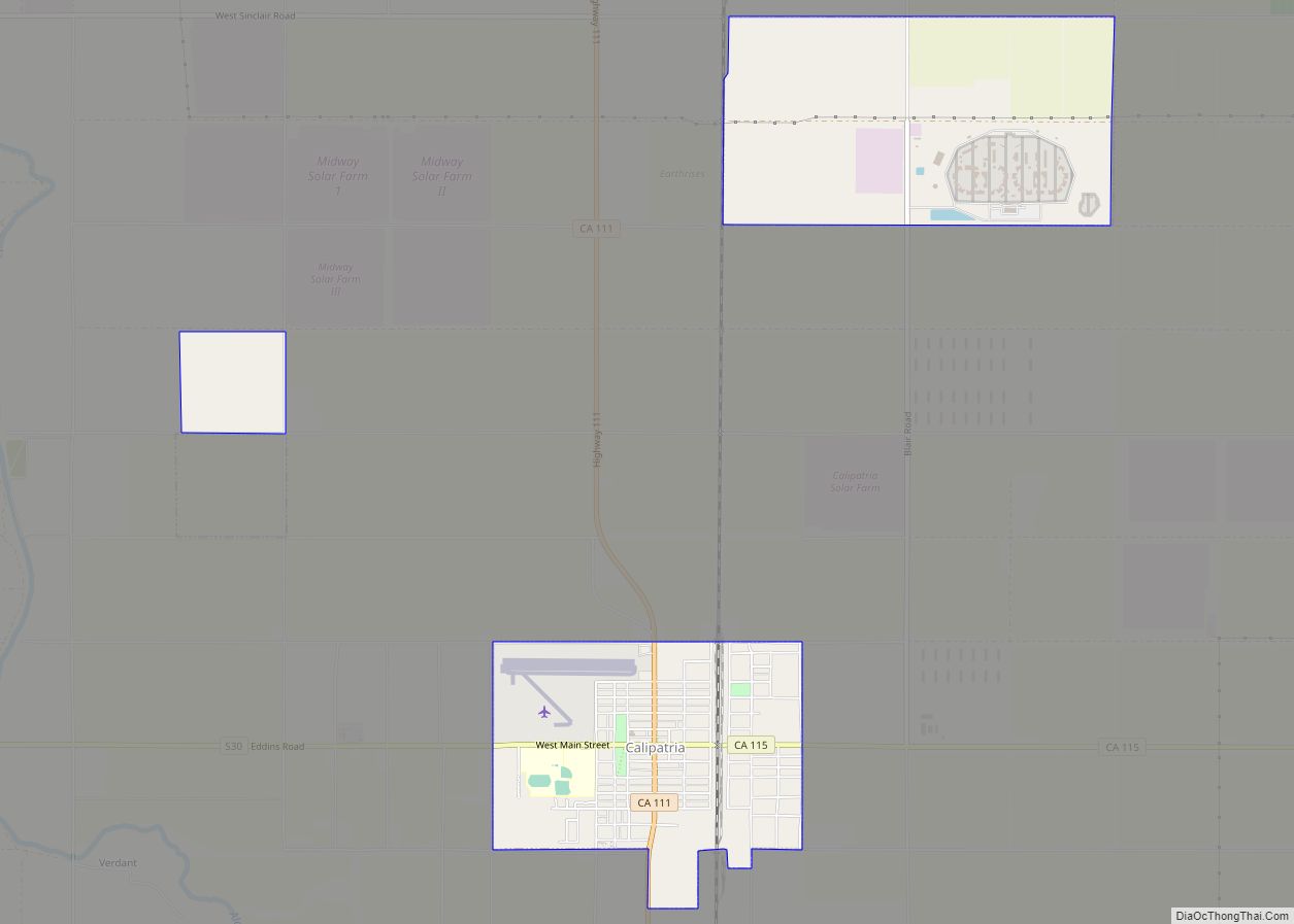
Online Interactive Map
Click on ![]() to view map in "full screen" mode.
to view map in "full screen" mode.
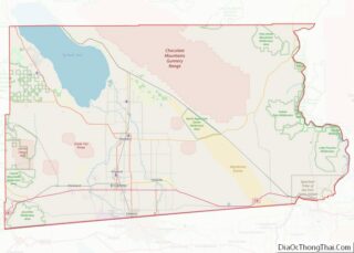
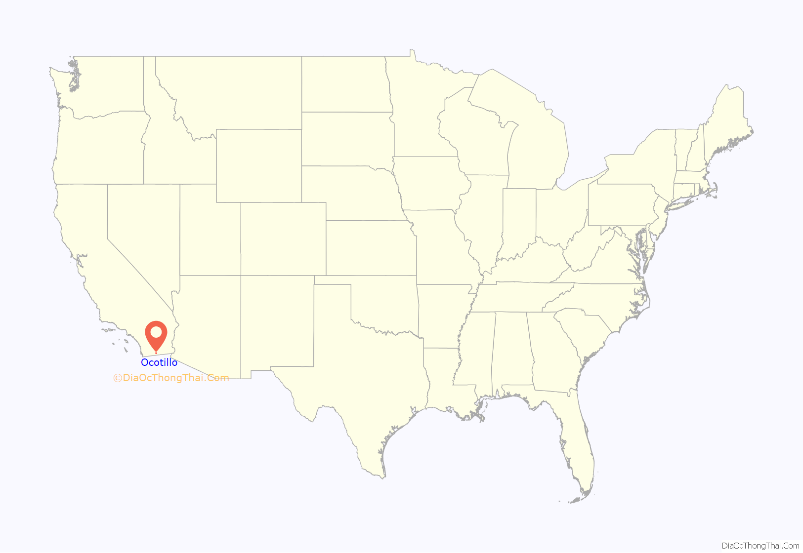
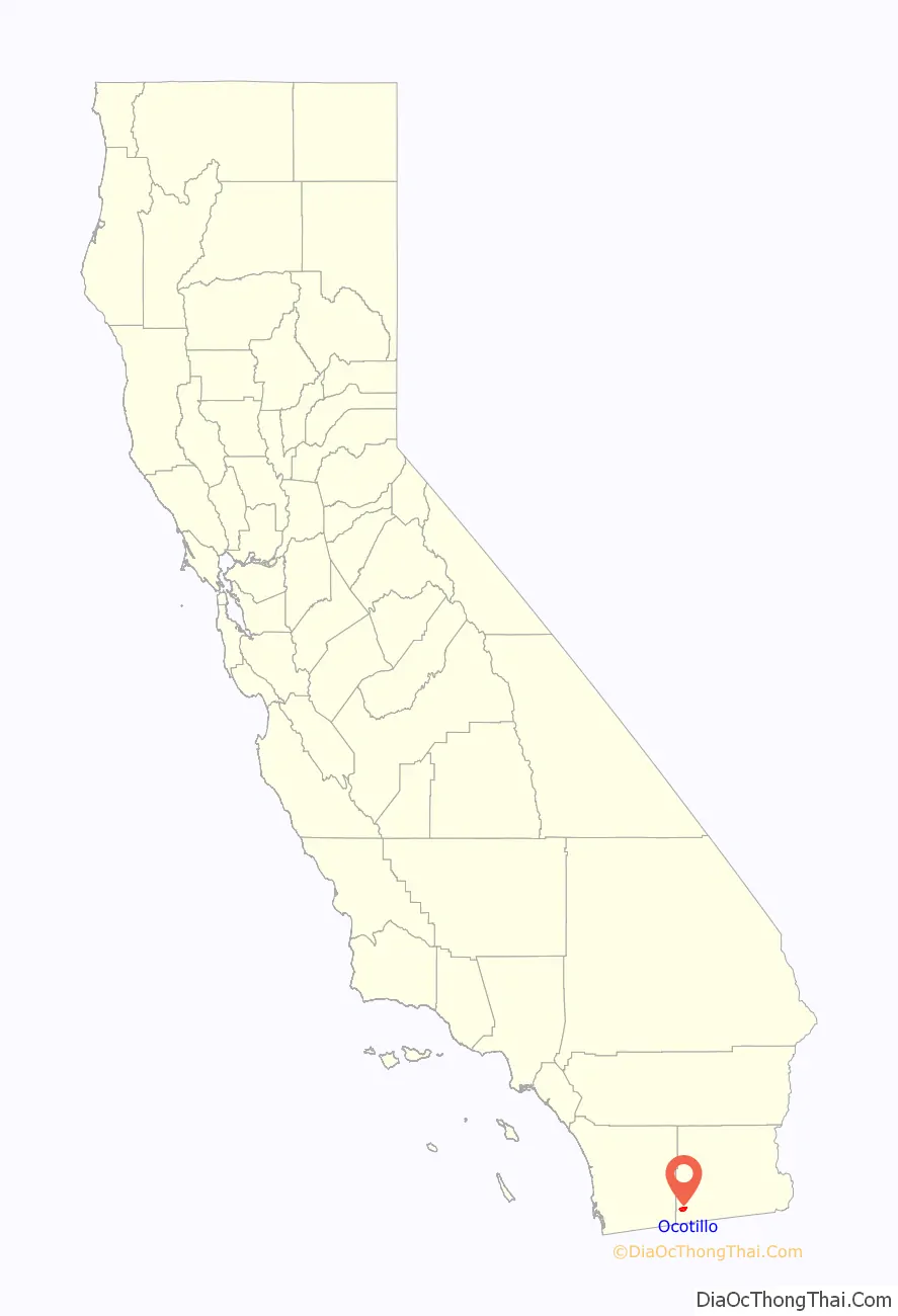
Ocotillo location map. Where is Ocotillo CDP?
History
Ocotillo is located on a site that originally sat on the edge of ancient Lake Cahuilla and is the traditional territory of the Kumeyaay. The town originated as a retirement community. The post office was opened in 1957. In March 2012, a museum, the Imperial Valley Desert Museum opened in Ocotillo after many years of fundraising and construction.
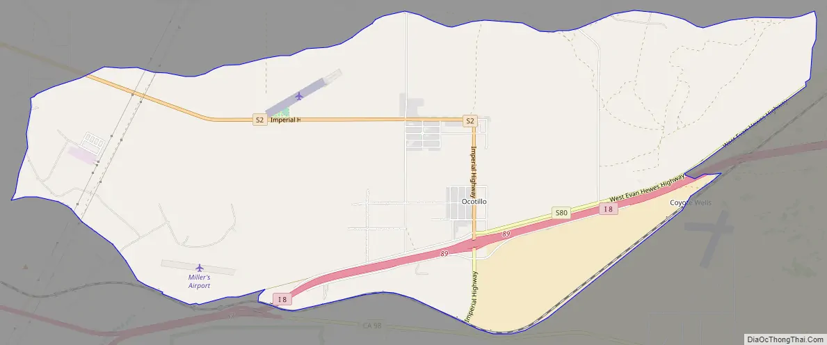
Ocotillo Road Map
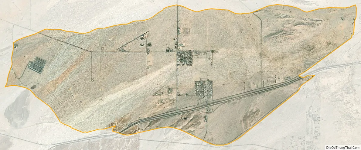
Ocotillo city Satellite Map
Geography
According to the United States Census Bureau, the CDP has a total area of 8.9 square miles (23 km), all of it land.
Ocotillo has a hot-desert climate with long, extremely hot summers, and mild to warm winters. The average yearly temperature is one of the highest out of any inhabited place in California. Days of 100°F and over are quite common from late spring into early fall. Since winters, although milder, in Octillo average highs of over 70 °F, the town becomes the only inhabited place in California to not have a month averaging a high of less than 70 °F throughtout the year
Precipitation is very little as Ocotillo sees about less than 3 inches of rain on average per year on average, making it the driest place in California and one of the driest in the United States. The winter months, which tend to be the wettest in California, see roughly a couple inches in Ocotillo. However, late summers may see some occasional monsoonal showers, but they still also come in minimal amounts.
See also
Map of California State and its subdivision:- Alameda
- Alpine
- Amador
- Butte
- Calaveras
- Colusa
- Contra Costa
- Del Norte
- El Dorado
- Fresno
- Glenn
- Humboldt
- Imperial
- Inyo
- Kern
- Kings
- Lake
- Lassen
- Los Angeles
- Madera
- Marin
- Mariposa
- Mendocino
- Merced
- Modoc
- Mono
- Monterey
- Napa
- Nevada
- Orange
- Placer
- Plumas
- Riverside
- Sacramento
- San Benito
- San Bernardino
- San Diego
- San Francisco
- San Joaquin
- San Luis Obispo
- San Mateo
- Santa Barbara
- Santa Clara
- Santa Cruz
- Shasta
- Sierra
- Siskiyou
- Solano
- Sonoma
- Stanislaus
- Sutter
- Tehama
- Trinity
- Tulare
- Tuolumne
- Ventura
- Yolo
- Yuba
- Alabama
- Alaska
- Arizona
- Arkansas
- California
- Colorado
- Connecticut
- Delaware
- District of Columbia
- Florida
- Georgia
- Hawaii
- Idaho
- Illinois
- Indiana
- Iowa
- Kansas
- Kentucky
- Louisiana
- Maine
- Maryland
- Massachusetts
- Michigan
- Minnesota
- Mississippi
- Missouri
- Montana
- Nebraska
- Nevada
- New Hampshire
- New Jersey
- New Mexico
- New York
- North Carolina
- North Dakota
- Ohio
- Oklahoma
- Oregon
- Pennsylvania
- Rhode Island
- South Carolina
- South Dakota
- Tennessee
- Texas
- Utah
- Vermont
- Virginia
- Washington
- West Virginia
- Wisconsin
- Wyoming