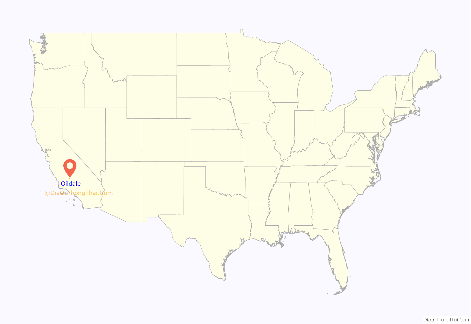
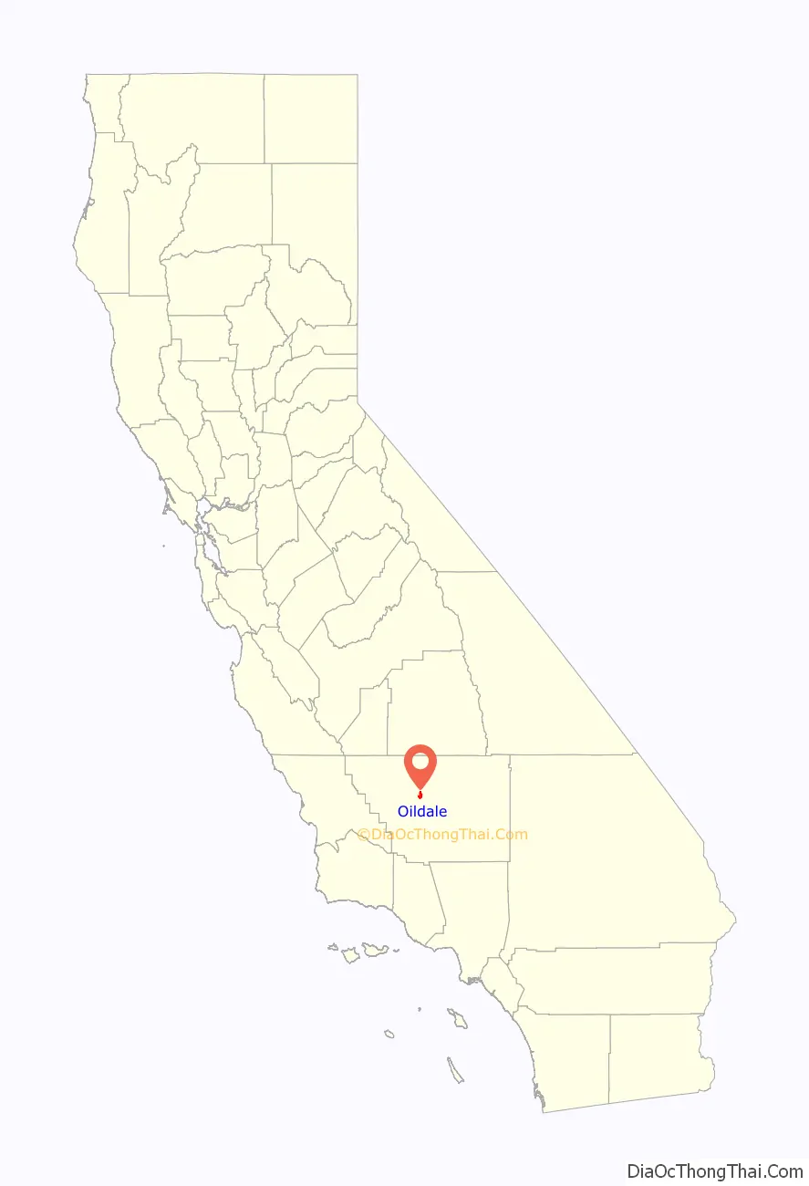
Oildale is a census-designated place (CDP) in Kern County, California, United States. Oildale is located 3.5 miles (5.6 km) north-northwest of downtown Bakersfield, at an elevation of 469 feet (143 m). The population was 32,684 at the 2010 census, up from 27,885 at the 2000 census. It is an unincorporated suburban town just north of Bakersfield across the Kern River, west of the Kern River Oil Field, and east of Highway 99.
| Name: | Oildale CDP |
|---|---|
| LSAD Code: | 57 |
| LSAD Description: | CDP (suffix) |
| State: | California |
| County: | Kern County |
| Elevation: | 469 ft (143 m) |
| Total Area: | 6.533 sq mi (16.920 km²) |
| Land Area: | 6.533 sq mi (16.920 km²) |
| Water Area: | 0 sq mi (0 km²) 0% |
| Total Population: | 32,684 |
| Population Density: | 5,000/sq mi (1,900/km²) |
| ZIP code: | 93308 |
| Area code: | 661 |
| FIPS code: | 0653448 |
| GNISfeature ID: | 1652762 |
Online Interactive Map
Click on ![]() to view map in "full screen" mode.
to view map in "full screen" mode.
Oildale location map. Where is Oildale CDP?
History
Previously called Waits and North Side, Oildale was founded in 1909 when Samuel Dickinson subdivided his land. The first post office opened at Oildale in 1916. Most of the original U-2 spy planes flown out of Groom Lake were built at a secret factory in Oildale disguised as a tire factory, just west of Meadows Field Airport on Norris Road.
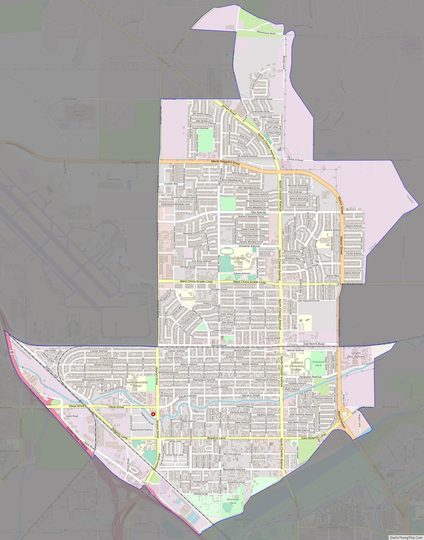
Oildale Road Map
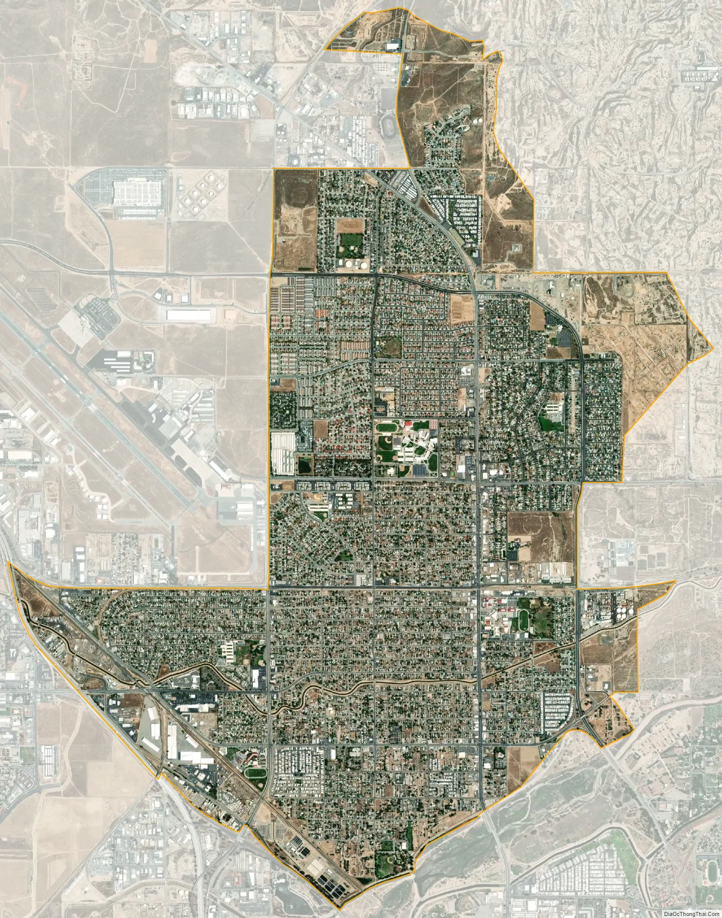
Oildale city Satellite Map
Geography
According to the United States Census Bureau, the CDP has a total area of 6.533 square miles (16.920 km), all of it land.
Oildale is adjacent to three large oil fields, including two of the largest in California. The enormous Kern River Oil Field to the east and northeast has more active oil wells (9,183 at the end of 2006) than any other field in California except for the Midway-Sunset Oil Field in southwestern Kern County (which has 11,145). Also adjacent is the huge Kern Front Oil Field, north of town, and the smaller Fruitvale Oil Field, to the southwest.
See also
Map of California State and its subdivision:- Alameda
- Alpine
- Amador
- Butte
- Calaveras
- Colusa
- Contra Costa
- Del Norte
- El Dorado
- Fresno
- Glenn
- Humboldt
- Imperial
- Inyo
- Kern
- Kings
- Lake
- Lassen
- Los Angeles
- Madera
- Marin
- Mariposa
- Mendocino
- Merced
- Modoc
- Mono
- Monterey
- Napa
- Nevada
- Orange
- Placer
- Plumas
- Riverside
- Sacramento
- San Benito
- San Bernardino
- San Diego
- San Francisco
- San Joaquin
- San Luis Obispo
- San Mateo
- Santa Barbara
- Santa Clara
- Santa Cruz
- Shasta
- Sierra
- Siskiyou
- Solano
- Sonoma
- Stanislaus
- Sutter
- Tehama
- Trinity
- Tulare
- Tuolumne
- Ventura
- Yolo
- Yuba
- Alabama
- Alaska
- Arizona
- Arkansas
- California
- Colorado
- Connecticut
- Delaware
- District of Columbia
- Florida
- Georgia
- Hawaii
- Idaho
- Illinois
- Indiana
- Iowa
- Kansas
- Kentucky
- Louisiana
- Maine
- Maryland
- Massachusetts
- Michigan
- Minnesota
- Mississippi
- Missouri
- Montana
- Nebraska
- Nevada
- New Hampshire
- New Jersey
- New Mexico
- New York
- North Carolina
- North Dakota
- Ohio
- Oklahoma
- Oregon
- Pennsylvania
- Rhode Island
- South Carolina
- South Dakota
- Tennessee
- Texas
- Utah
- Vermont
- Virginia
- Washington
- West Virginia
- Wisconsin
- Wyoming


