Orange Cove is a city in Fresno County, California, United States. The population was 9,078 at the 2010 census, up from 7,722 at the 2000 census.
| Name: | Orange Cove city |
|---|---|
| LSAD Code: | 25 |
| LSAD Description: | city (suffix) |
| State: | California |
| County: | Fresno County |
| Incorporated: | January 20, 1948 |
| Elevation: | 423 ft (129 m) |
| Total Area: | 1.79 sq mi (4.64 km²) |
| Land Area: | 1.79 sq mi (4.64 km²) |
| Water Area: | 0.00 sq mi (0.00 km²) 0% |
| Total Population: | 9,078 |
| Population Density: | 5,732.70/sq mi (2,213.65/km²) |
| ZIP code: | 93646, 93675 |
| Area code: | 559 |
| FIPS code: | 0654008 |
| Website: | www.cityoforangecove.com |
Online Interactive Map
Click on ![]() to view map in "full screen" mode.
to view map in "full screen" mode.
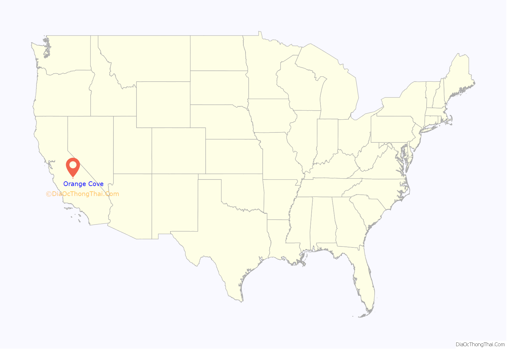
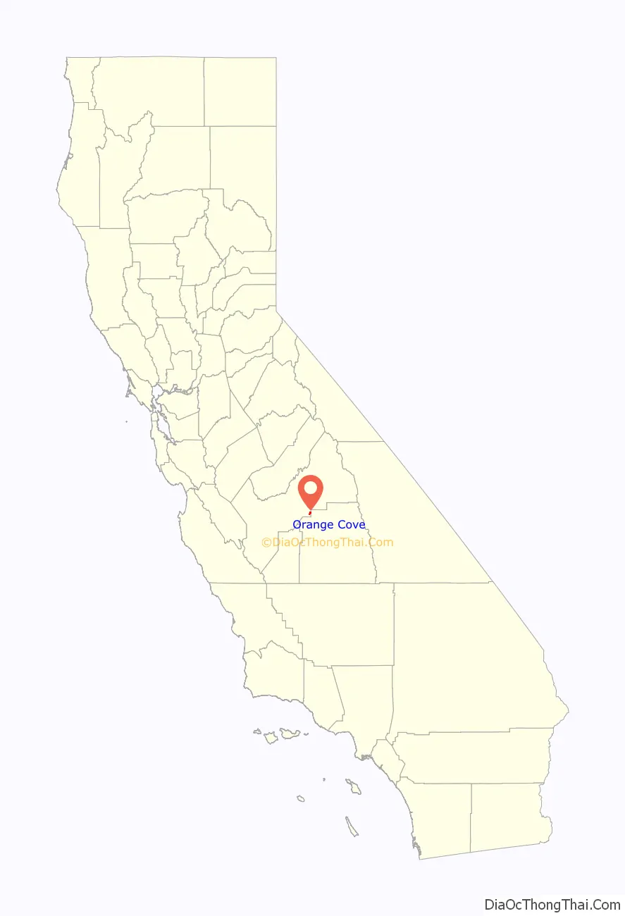
Orange Cove location map. Where is Orange Cove city?
History
Elmer M. Sheridan founded the town in 1914, and named it prior to large scale citrus growing. The first post office opened in 1914. The city incorporated in 1948.
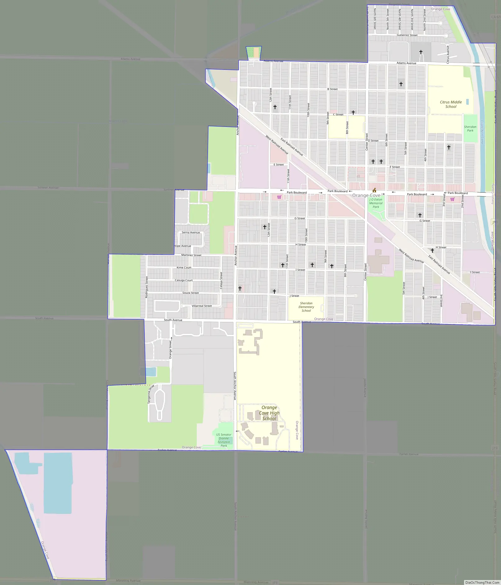
Orange Cove Road Map
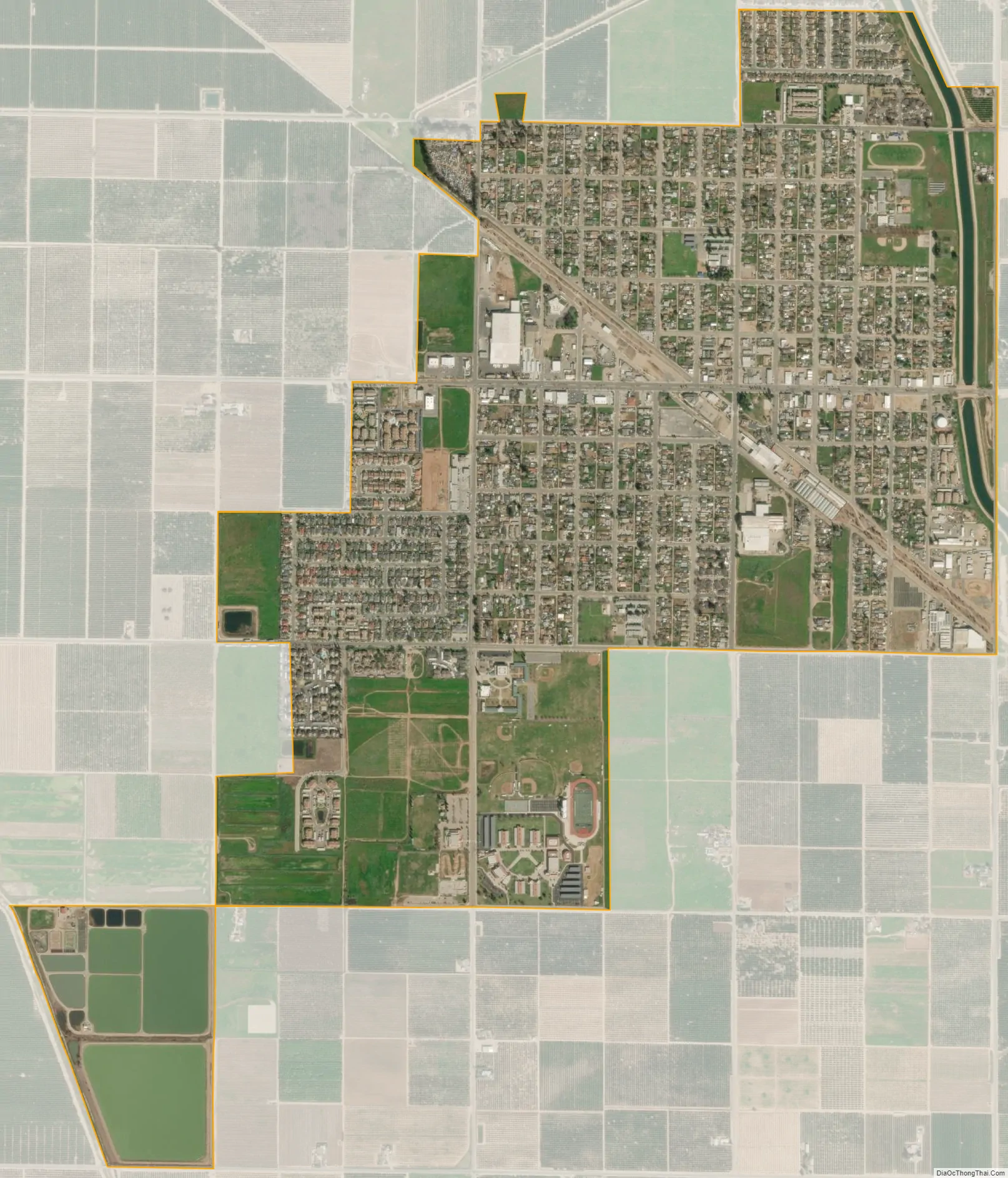
Orange Cove city Satellite Map
Geography
According to the United States Census Bureau, the city has a total area of 1.9 square miles (4.9 km), all of its land.
Climate
According to the Köppen Climate Classification system, Orange Cove has a hot-summer Mediterranean climate, abbreviated “Csa” on climate maps.
See also
Map of California State and its subdivision:- Alameda
- Alpine
- Amador
- Butte
- Calaveras
- Colusa
- Contra Costa
- Del Norte
- El Dorado
- Fresno
- Glenn
- Humboldt
- Imperial
- Inyo
- Kern
- Kings
- Lake
- Lassen
- Los Angeles
- Madera
- Marin
- Mariposa
- Mendocino
- Merced
- Modoc
- Mono
- Monterey
- Napa
- Nevada
- Orange
- Placer
- Plumas
- Riverside
- Sacramento
- San Benito
- San Bernardino
- San Diego
- San Francisco
- San Joaquin
- San Luis Obispo
- San Mateo
- Santa Barbara
- Santa Clara
- Santa Cruz
- Shasta
- Sierra
- Siskiyou
- Solano
- Sonoma
- Stanislaus
- Sutter
- Tehama
- Trinity
- Tulare
- Tuolumne
- Ventura
- Yolo
- Yuba
- Alabama
- Alaska
- Arizona
- Arkansas
- California
- Colorado
- Connecticut
- Delaware
- District of Columbia
- Florida
- Georgia
- Hawaii
- Idaho
- Illinois
- Indiana
- Iowa
- Kansas
- Kentucky
- Louisiana
- Maine
- Maryland
- Massachusetts
- Michigan
- Minnesota
- Mississippi
- Missouri
- Montana
- Nebraska
- Nevada
- New Hampshire
- New Jersey
- New Mexico
- New York
- North Carolina
- North Dakota
- Ohio
- Oklahoma
- Oregon
- Pennsylvania
- Rhode Island
- South Carolina
- South Dakota
- Tennessee
- Texas
- Utah
- Vermont
- Virginia
- Washington
- West Virginia
- Wisconsin
- Wyoming


