Orosi (from Oro, Spanish for “Gold”) is a census-designated place (CDP) in Tulare County, California, United States. The population was 8,770 at the 2010 census, up from 7,318 at the 2000 census.
| Name: | Orosi CDP |
|---|---|
| LSAD Code: | 57 |
| LSAD Description: | CDP (suffix) |
| State: | California |
| County: | Tulare County |
| Elevation: | 374 ft (114 m) |
| Total Area: | 2.446 sq mi (6.334 km²) |
| Land Area: | 2.446 sq mi (6.334 km²) |
| Water Area: | 0 sq mi (0 km²) 0% |
| Total Population: | 8,770 |
| Population Density: | 3,600/sq mi (1,400/km²) |
| ZIP code: | 93647 |
| Area code: | 559 |
| FIPS code: | 0654372 |
Online Interactive Map
Click on ![]() to view map in "full screen" mode.
to view map in "full screen" mode.
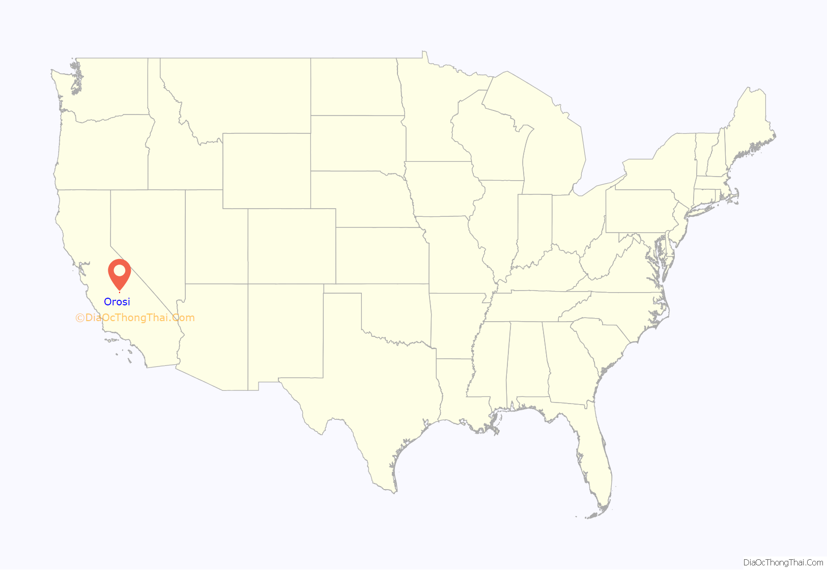
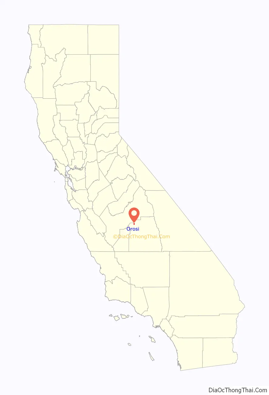
Orosi location map. Where is Orosi CDP?
History
The community was founded in 1888 by Daniel R. Shafer. It was named “oro,” or gold, for the golden poppies covering the nearby fields. A post office was established in 1892.
Nearly eight percent of Orosi’s population is Filipino, and Orosi has its own Little Manila.
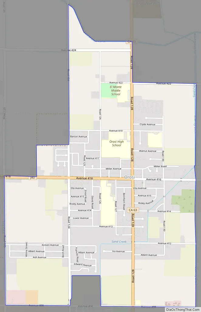
Orosi Road Map
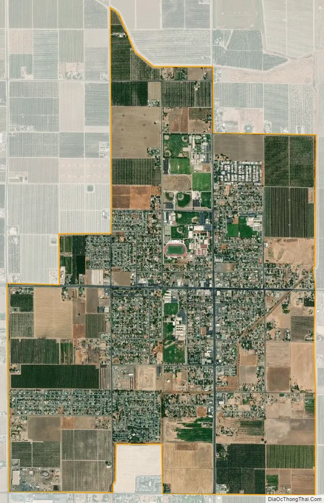
Orosi city Satellite Map
Geography
Orosi is located at 36°32′33″N 119°17′20″W / 36.54250°N 119.28889°W / 36.54250; -119.28889 (36.542448, -119.288808).
According to the United States Census Bureau, the CDP has a total area of 2.4 square miles (6.2 km), all of it land.
See also
Map of California State and its subdivision:- Alameda
- Alpine
- Amador
- Butte
- Calaveras
- Colusa
- Contra Costa
- Del Norte
- El Dorado
- Fresno
- Glenn
- Humboldt
- Imperial
- Inyo
- Kern
- Kings
- Lake
- Lassen
- Los Angeles
- Madera
- Marin
- Mariposa
- Mendocino
- Merced
- Modoc
- Mono
- Monterey
- Napa
- Nevada
- Orange
- Placer
- Plumas
- Riverside
- Sacramento
- San Benito
- San Bernardino
- San Diego
- San Francisco
- San Joaquin
- San Luis Obispo
- San Mateo
- Santa Barbara
- Santa Clara
- Santa Cruz
- Shasta
- Sierra
- Siskiyou
- Solano
- Sonoma
- Stanislaus
- Sutter
- Tehama
- Trinity
- Tulare
- Tuolumne
- Ventura
- Yolo
- Yuba
- Alabama
- Alaska
- Arizona
- Arkansas
- California
- Colorado
- Connecticut
- Delaware
- District of Columbia
- Florida
- Georgia
- Hawaii
- Idaho
- Illinois
- Indiana
- Iowa
- Kansas
- Kentucky
- Louisiana
- Maine
- Maryland
- Massachusetts
- Michigan
- Minnesota
- Mississippi
- Missouri
- Montana
- Nebraska
- Nevada
- New Hampshire
- New Jersey
- New Mexico
- New York
- North Carolina
- North Dakota
- Ohio
- Oklahoma
- Oregon
- Pennsylvania
- Rhode Island
- South Carolina
- South Dakota
- Tennessee
- Texas
- Utah
- Vermont
- Virginia
- Washington
- West Virginia
- Wisconsin
- Wyoming


